Plizio Visual Lab
Baltais Hill

Weather…
Water temperature…
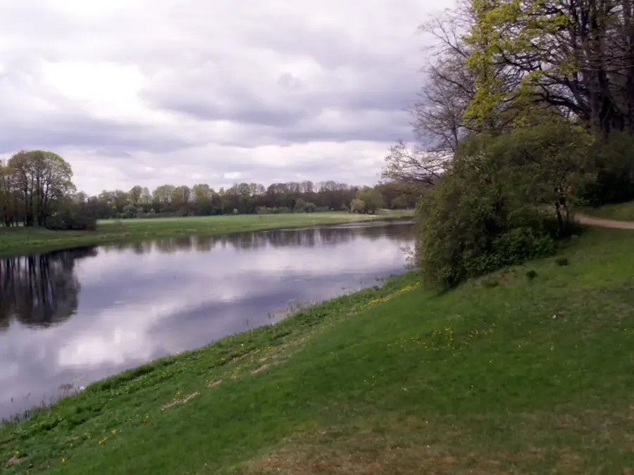
Baltais kalns (White Hill) is located in the Aglona region of southeastern Latvia and is a prominent feature of the Latgale Highland. With an absolute elevation of approximately 158 meters above sea level, it rises significantly above the surrounding terrain, offering panoramic views of the lake-rich landscape, particularly Lake Cirītis. Geomorphologically, it is a glacial formation created during the last Ice Age through the accumulation of morainic deposits. The hill's name originates from the light-colored sand and quartz deposits found in the upper soil layers, which give the surface a distinct whitish hue. Historically, the site served as a natural lookout point and holds a significant place in the local folklore and traditions of the Latgale region. Today, the area is noted for its botanical diversity and serves as a destination for ecological tourism near the Aglona Basilica. Scientific studies of its soil structure provide valuable insights into the retreat dynamics of the Scandinavian ice sheet within the Baltic territory.
- Location: Latvia
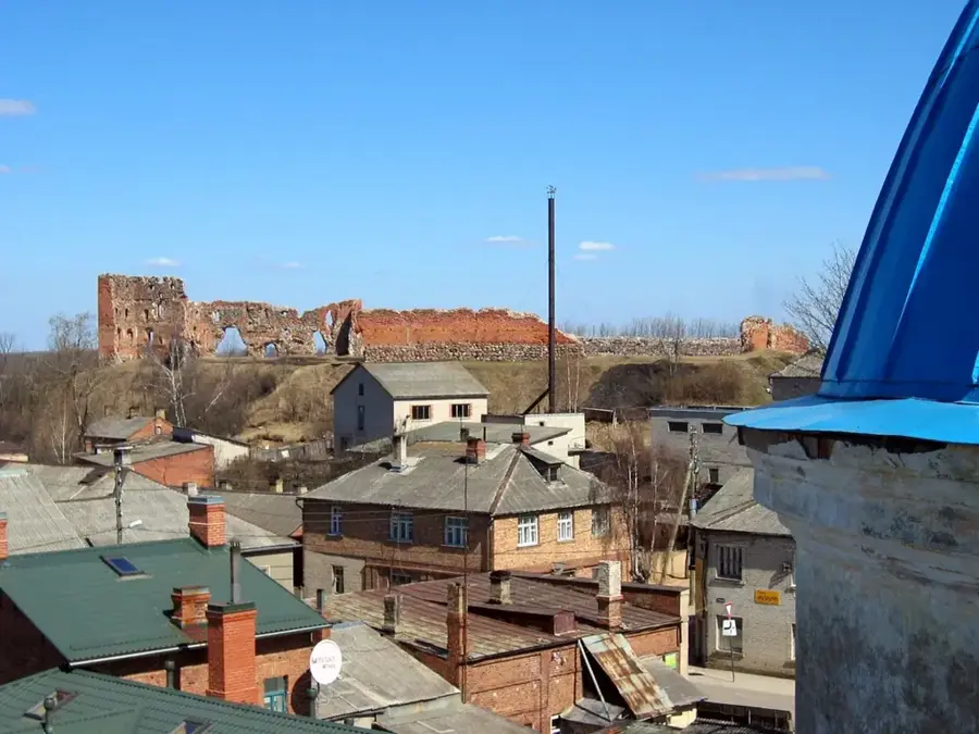
- Nearby: Vecpiebalga (25 km)
Best time to visit & climate
The most pleasant time to visit is Jun–Aug.
| Jan | Feb | Mar | Apr | May | Jun | Jul | Aug | Sep | Oct | Nov | Dec | |
|---|---|---|---|---|---|---|---|---|---|---|---|---|
| Avg °C | -7 | -6 | -2 | 5 | 11 | 15 | 18 | 16 | 12 | 5 | 1 | -4 |
| Rain mm | 57 | 48 | 47 | 50 | 63 | 90 | 92 | 90 | 64 | 80 | 73 | 60 |
📋 Practical info
Geography
Facts
- The hill reaches an absolute height of approximately 158 meters.
- It is geologically part of the Latgale Highland (Latgales augstiene).
- The name 'Baltais' refers to the light-colored quartz sand in the soil.
- The summit offers views of Lake Cirītis, located 1.5 km away.
- The formation was created roughly 12,000 years ago by glacial processes.
- It is situated in the Preiļi District, close to the town of Aglona.
Explore nearby
Notable places around
Route planner — Car & Motorhome
Where do you start? We build the route here, with stops and country notes along the way.
© OpenStreetMap contributors · OpenRouteService
Sights nearby
Frequently asked questions
Why is the hill called Baltais Hill?
What can you see there?
Are there picnic areas available?
How do you reach Baltais Hill?
Are there wild animals there?
Baltais Hill: where is it located?
Baltais Hill: when is the best time to visit?
Baltais Hill: why is it worth visiting?

Nearby cities