Plizio Visual Lab
Aukstais Hill

Weather…
Water temperature…
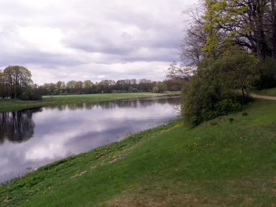
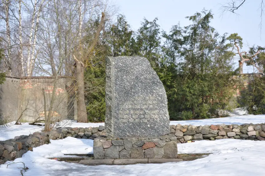
Aukstais Hill (Aukstais kalns), whose name translates from Latvian as 'Cold Hill', is a prominent elevation located in the northern Kurzeme region near the town of Talsi. Standing at approximately 164 meters above sea level, it is one of the highest peaks in the North Kurzeme Upland. Geologically, the hill is a terminal moraine, formed by the accumulation of glacial debris during the retreat of the last continental ice sheet. The name 'Cold Hill' is derived from its exposed position, which makes it particularly susceptible to biting winds, and where snow often lingers longer into the spring. From its summit, the hill gives sweeping panoramic views of the surrounding 'Town of Nine Hills,' Talsi, and the undulating Kurzeme countryside. The slopes are covered with a mix of coniferous and deciduous forests, providing a haven for local biodiversity. It is a favored destination for hikers and landscape photographers looking to capture the rugged beauty of western Latvia.
- Location: Latvia
- Nearby: Cesvaine (10 km)
Best time to visit & climate
The most pleasant time to visit is Jun–Aug.
| Jan | Feb | Mar | Apr | May | Jun | Jul | Aug | Sep | Oct | Nov | Dec | |
|---|---|---|---|---|---|---|---|---|---|---|---|---|
| Avg °C | -7 | -7 | -2 | 5 | 11 | 15 | 18 | 16 | 12 | 5 | 1 | -4 |
| Rain mm | 50 | 43 | 43 | 47 | 64 | 92 | 88 | 87 | 61 | 74 | 67 | 53 |
📋 Practical info
Geography
Facts
- Aukstais Hill stands 164 meters above sea level.
- The name 'Aukstais' is the Latvian word for 'cold'.
- It is one of the highest points in the North Kurzeme Upland.
- The hill was formed as a terminal moraine during the last ice age.
- It offers views of Talsi, known as the 'Town of Nine Hills'.
- The local climate on the hill is noticeably cooler than the valleys.
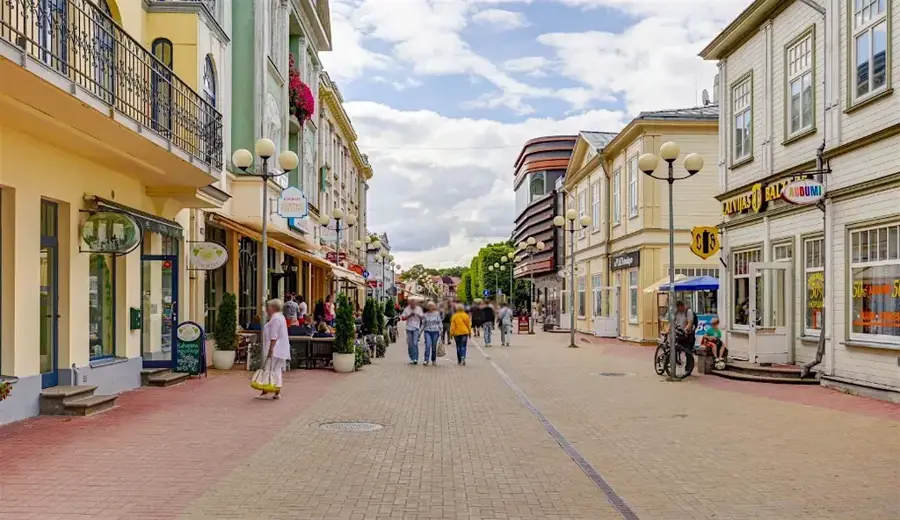
Explore nearby
Notable places around
Route planner — Car & Motorhome
Where do you start? We build the route here, with stops and country notes along the way.
© OpenStreetMap contributors · OpenRouteService
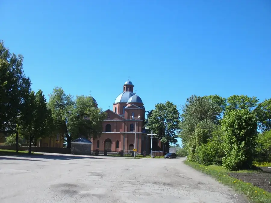
Sights in the town Aukstais Hill (1)
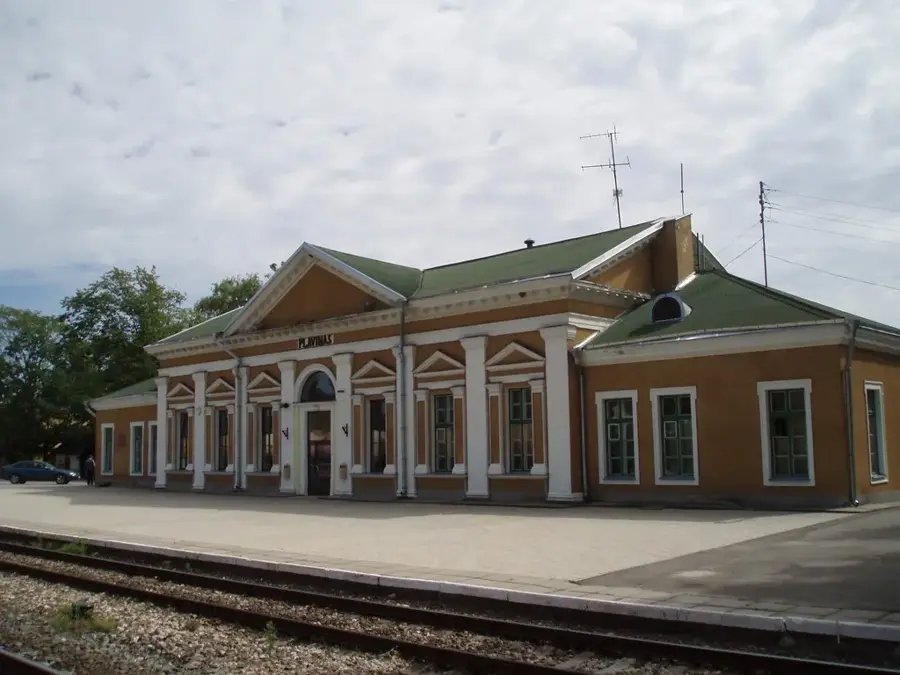
Sights nearby
Frequently asked questions
What does the name Aukstais Hill mean?
Is there an observation tower on the summit?
How high is Aukstais Hill?
Is the path to the summit steep?
Can you go sledding there in winter?
Aukstais Hill: where is it located?
Aukstais Hill: when is the best time to visit?
Aukstais Hill: why is it worth visiting?

Nearby cities