Plizio Visual Lab
Phongsali Highlands

Weather…
Water temperature…
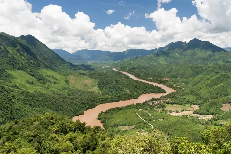
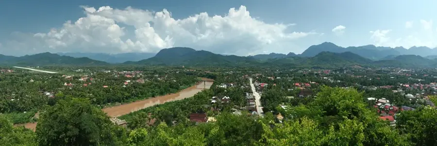
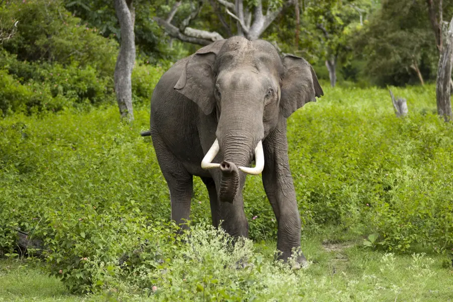
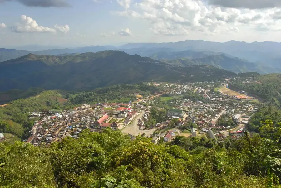
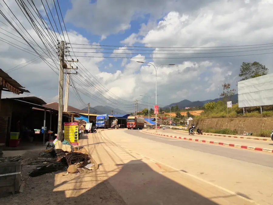
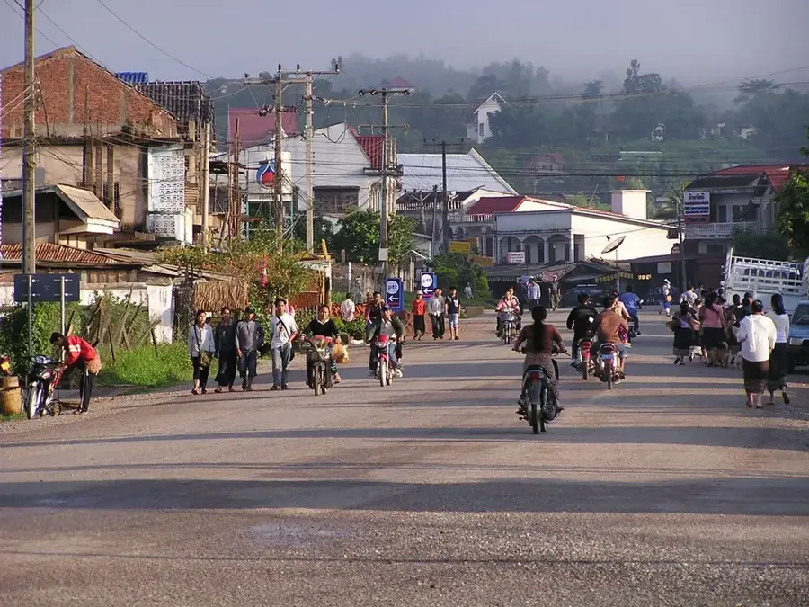
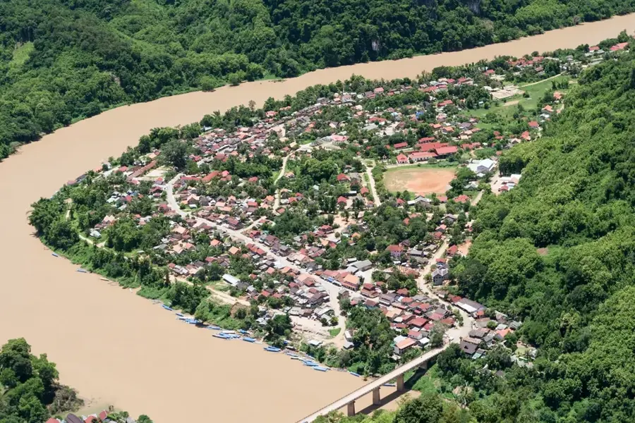
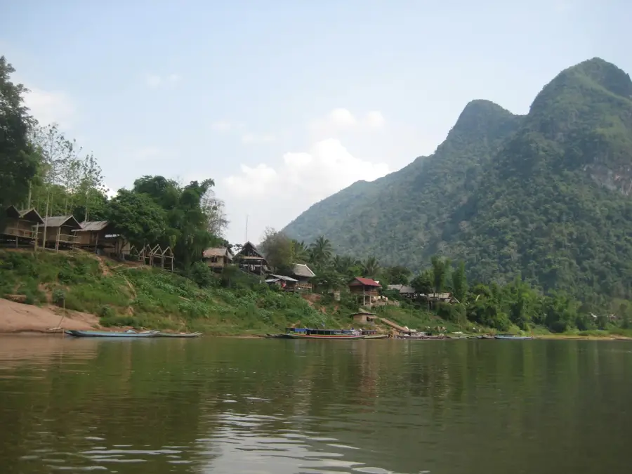
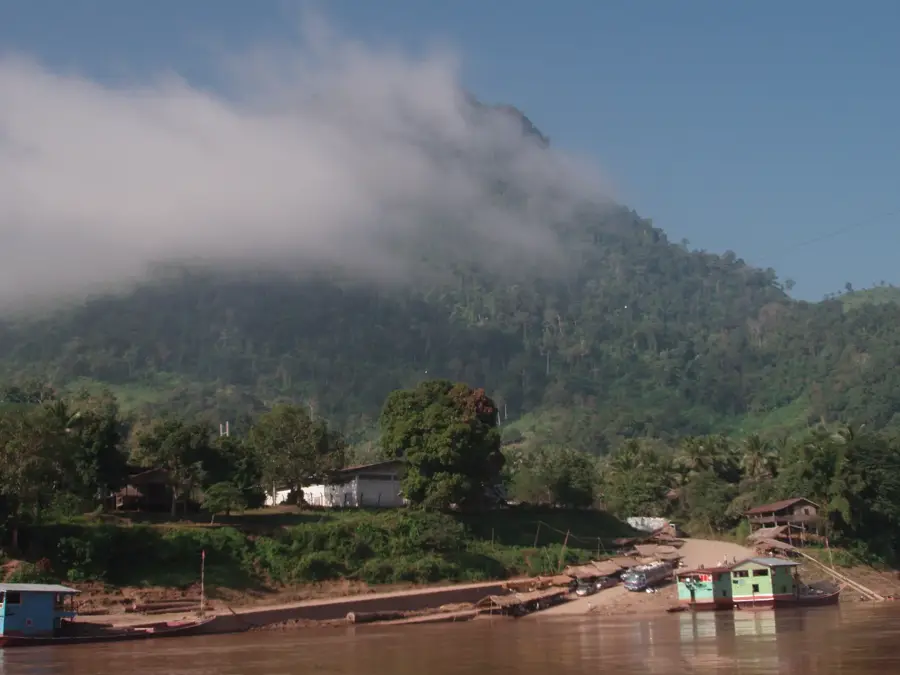
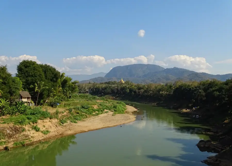
The Phongsali Highlands in the extreme north of Laos are a geographically isolated region characterized by their extremely rugged topography and immediate proximity to China and Vietnam. At an average elevation of over 1,500 meters, the landscape is defined by sharp mountain ridges, deep river valleys, and dense, evergreen rainforests. Due to the cool and humid climate, the region is world-famous for its tea, particularly the 400-year-old tea trees of Ban Komaen, whose leaves are processed into precious Pu-erh tea. The ethnic diversity in the highlands is remarkable, with numerous groups such as the Akha, Phunoi, and Hor living in traditional mountain villages and preserving their original way of life. Historically, Phongsali served as an important outpost during the French colonial period, as evidenced today by the architecture in the provincial capital. The isolation of the region has meant that large parts of the mountain forests have remained untouched, providing sanctuaries for rare wildlife. For travelers, the highlands are a challenge as the journey over winding mountain roads or the Nam Ou River is arduous, but it rewards with authentic cultural encounters and spectacular views over the cloud-covered peaks of northern Laos.
- Location: Laos
- Top sights: Phongsali · Phongsaly province
- Nearby: Boun Neua (24 km)
Best time to visit & climate
The most pleasant time to visit is Feb, Mar, Oct.
| Jan | Feb | Mar | Apr | May | Jun | Jul | Aug | Sep | Oct | Nov | Dec | |
|---|---|---|---|---|---|---|---|---|---|---|---|---|
| Avg °C | 15 | 18 | 21 | 24 | 25 | 25 | 24 | 23 | 23 | 21 | 18 | 15 |
| Rain mm | 27 | 12 | 39 | 75 | 142 | 158 | 257 | 259 | 133 | 78 | 38 | 19 |
📋 Practical info
Geography
Facts
- Phongsali is the highest provincial capital in Laos.
- Ban Komaen is home to some of the oldest cultivated tea trees in the world.
- The province shares a long border with the Chinese region of Yunnan.
- The summit of Phou Fa offers a 360-degree view over the highlands.
- Over 28 different dialects and languages are spoken in the region.
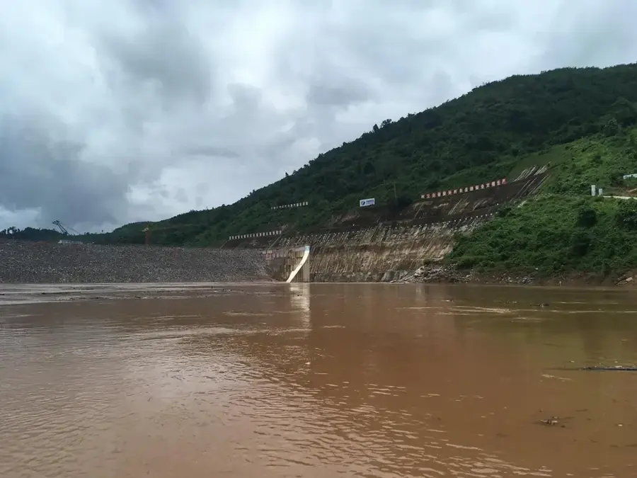
- The Nam Ou River originates in the mountains north of Phongsali city.
Explore nearby
Notable places around
Route planner — Car & Motorhome
Where do you start? We build the route here, with stops and country notes along the way.
© OpenStreetMap contributors · OpenRouteService
Sights in the town Phongsali Highlands (2)
Sights nearby
Frequently asked questions
What makes the Phongsali Highlands special?
What is the climate like in Phongsali?
Can you taste tea there?
Which ethnic groups can you visit?
Is the journey difficult?
Phongsali Highlands: where is it located?
Phongsali Highlands: what is there to see?
Phongsali Highlands: when is the best time to visit?
Phongsali Highlands: why is it worth visiting?

Nearby cities


History & landmarks

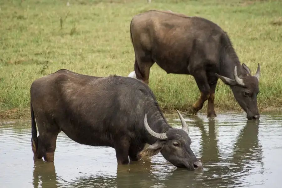
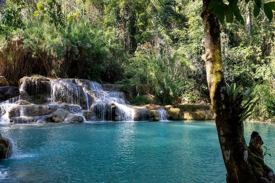
Nature
More places