Plizio Visual Lab
Nakai Plateau
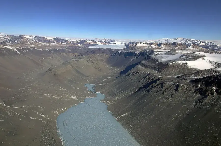
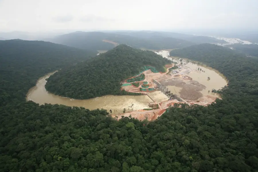
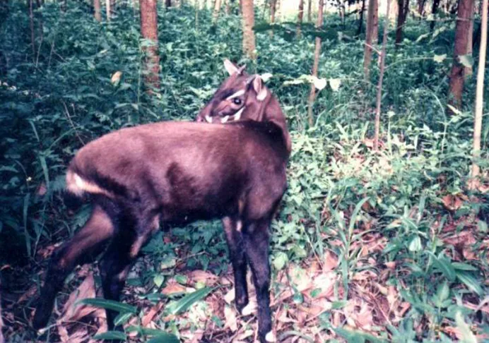
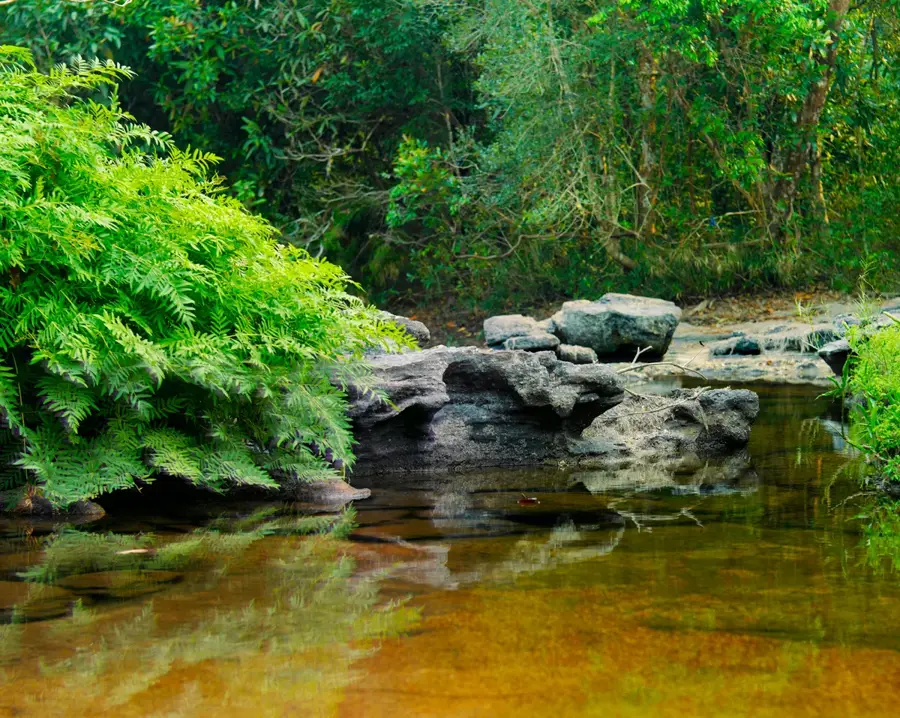
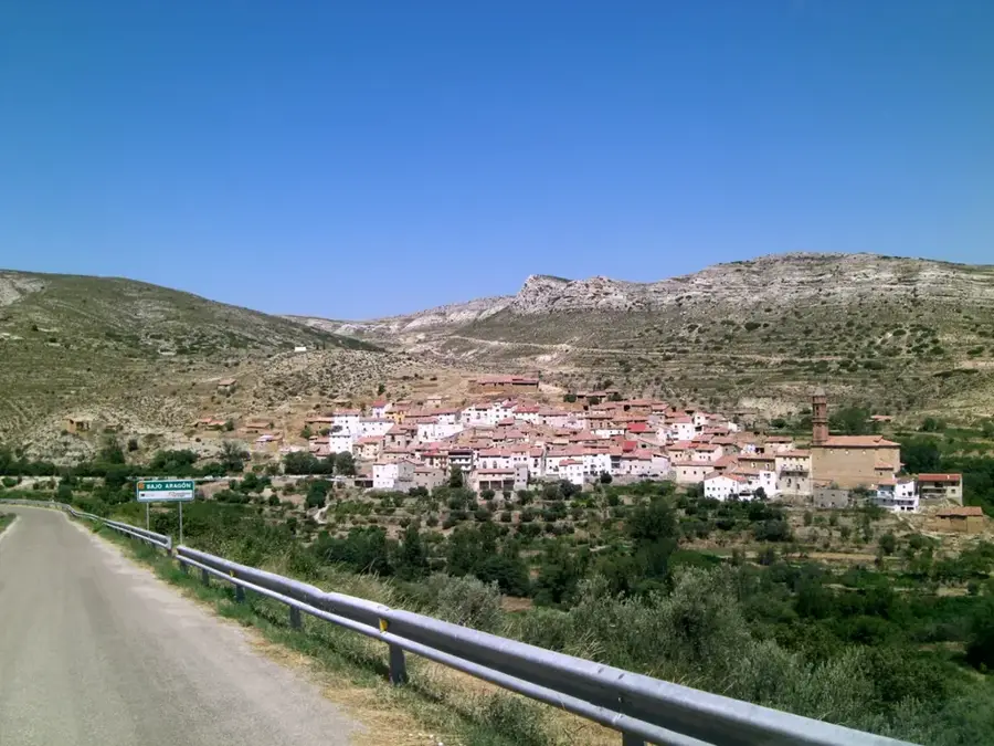
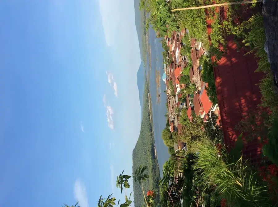
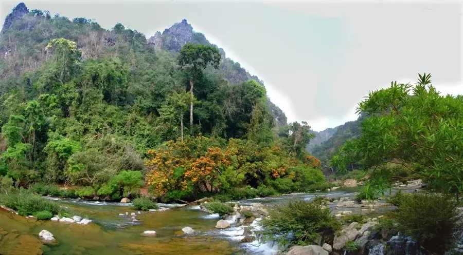
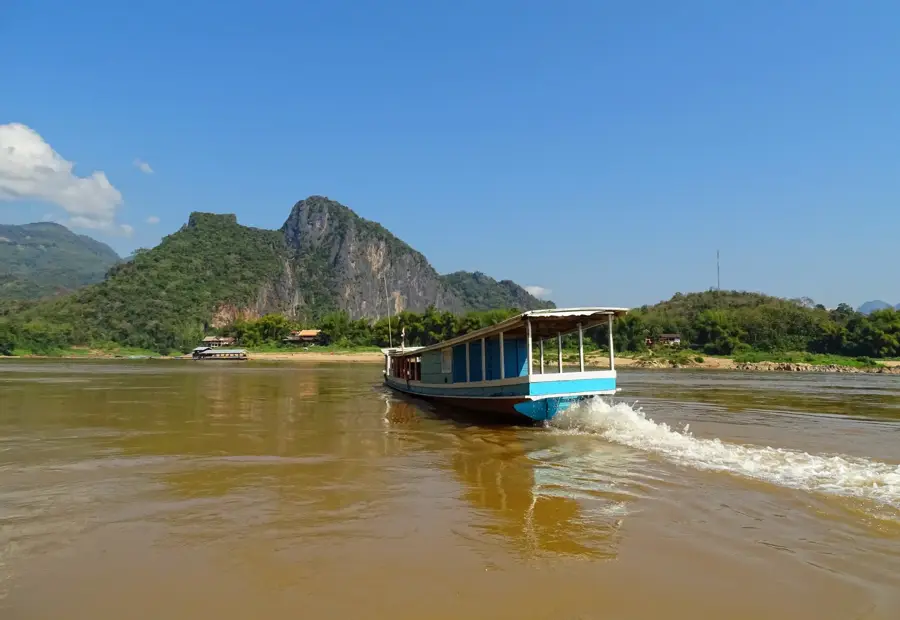
The Nakai Plateau in central Laos is a geographically fascinating area that was radically transformed by the massive Nam Theun 2 hydroelectric project. Originally characterized by dense pine forests and extensive wetlands, a large part of the plateau is now covered by a 450-square-kilometer reservoir, which represents a crucial energy source for Laos and Thailand. Despite this massive human intervention, the plateau directly borders the Nakai-Nam Theun National Protected Area, one of Southeast Asia's most significant biodiversity hotspots. Extremely rare animal species live here, such as the saola, which was only discovered in the 1990s, as well as wild elephant herds and leopards. The plateau today serves as a complex example of the attempt to reconcile economic development through hydropower with strict nature conservation. The landscape is dominated by artificially created water surfaces from which the peaks of former hills protrude like small islands. The plateau, at an elevation of around 500 to 600 meters, also gives a much more temperate climate than the Mekong lowlands.
- Location: Laos
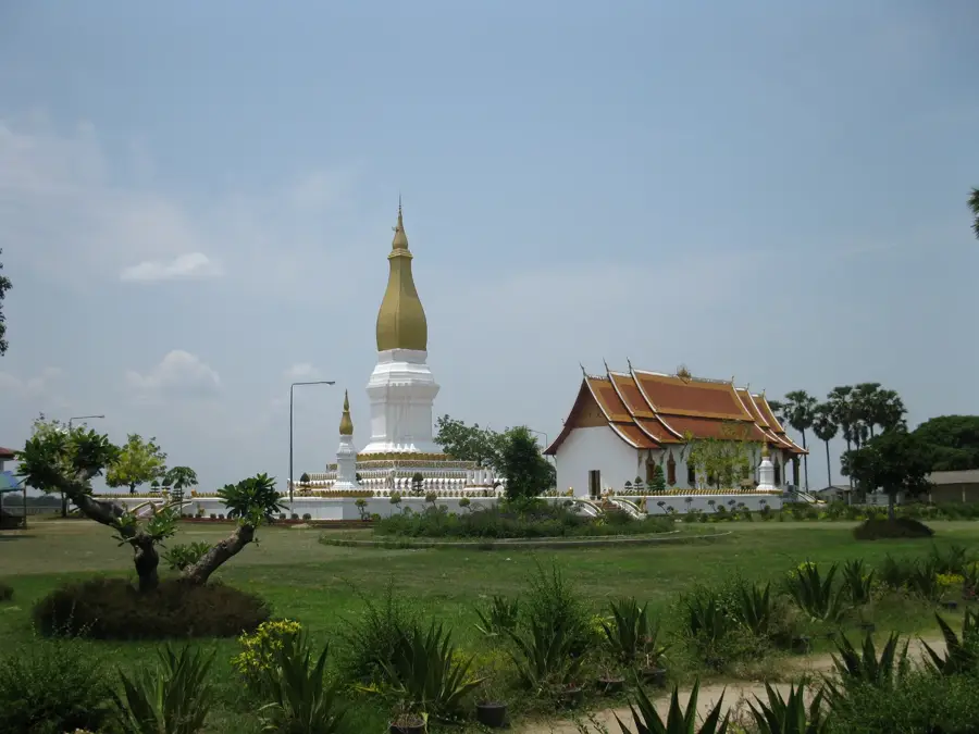
- Top sights: Nam Theun 2 Visitor Center · Orchid Trail
- Nearby: Seno (34 km)
Best time to visit & climate
The most pleasant time to visit is Jan, Feb, Dec.
| Jan | Feb | Mar | Apr | May | Jun | Jul | Aug | Sep | Oct | Nov | Dec | |
|---|---|---|---|---|---|---|---|---|---|---|---|---|
| Avg °C | 20 | 22 | 26 | 28 | 28 | 27 | 26 | 26 | 25 | 24 | 22 | 19 |
| Rain mm | 9 | 15 | 45 | 66 | 171 | 203 | 335 | 334 | 236 | 119 | 23 | 13 |
📋 Practical info
Geography
Facts
- The Nam Theun 2 hydroelectric power plant on the plateau has a capacity of 1,075 MW.
- The artificial reservoir covers an area of approximately 450 square kilometers.
- The plateau is situated at an average elevation of 530 meters.
- Over 6,000 people were resettled on the plateau for the dam project.
- The region hosts the largest contiguous protected area in Laos.
- The majority of the electricity generated on the plateau is exported to Thailand.
Explore nearby
Notable places around
Route planner — Car & Motorhome
Where do you start? We build the route here, with stops and country notes along the way.
© OpenStreetMap contributors · OpenRouteService
Sights in the town Nakai Plateau (2)
Sights nearby
Frequently asked questions
What characterizes the Nakai Plateau?
Can you go on boat trips on the reservoir?
Are there wild animals on the Nakai Plateau?
Where can you stay?
How do you get there?
Nakai Plateau: where is it located?
Nakai Plateau: what is there to see?
Nakai Plateau: when is the best time to visit?
Nakai Plateau: why is it worth visiting?

Nearby cities
History & landmarks


Nature
More places