Plizio Visual Lab
Naryn Valley

Weather…
Water temperature…
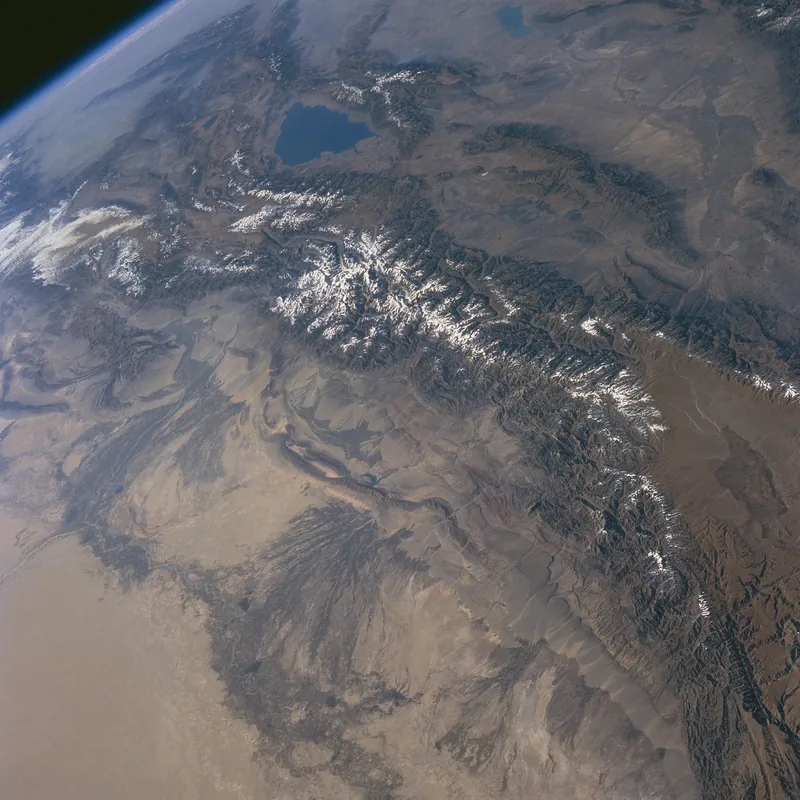
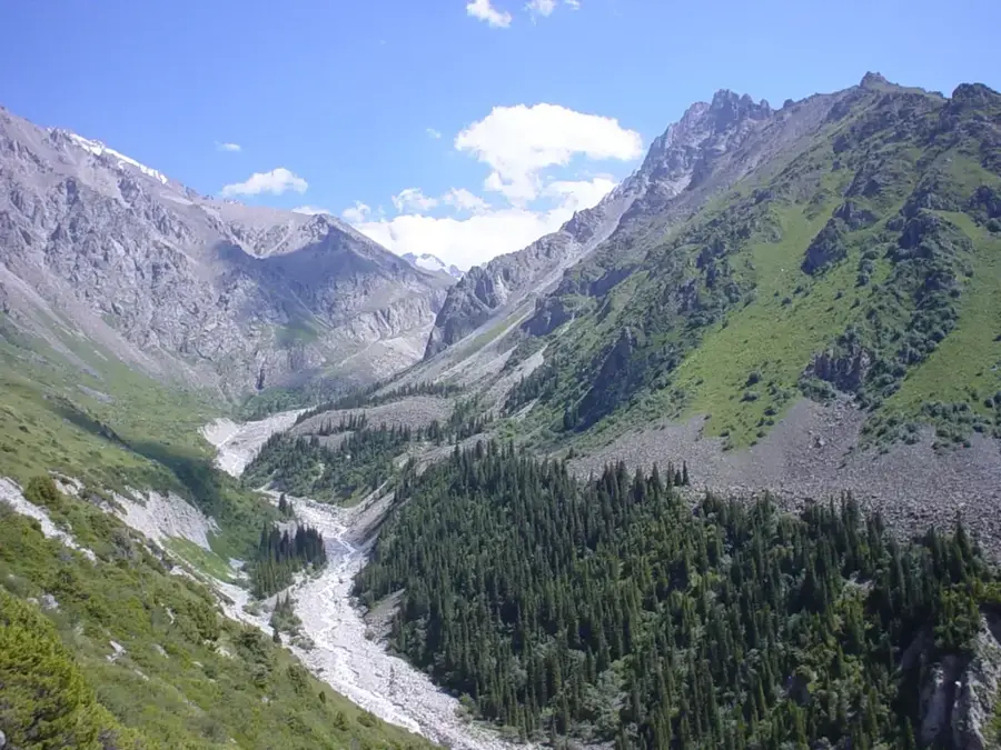
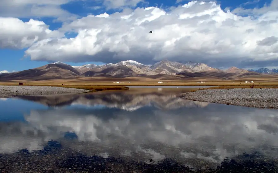
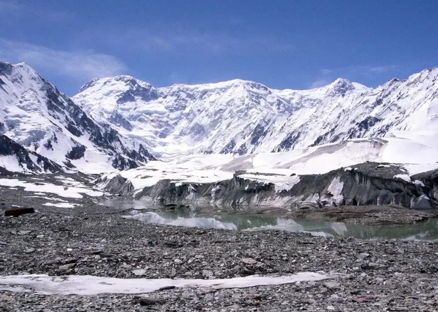
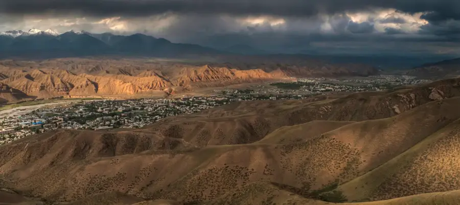
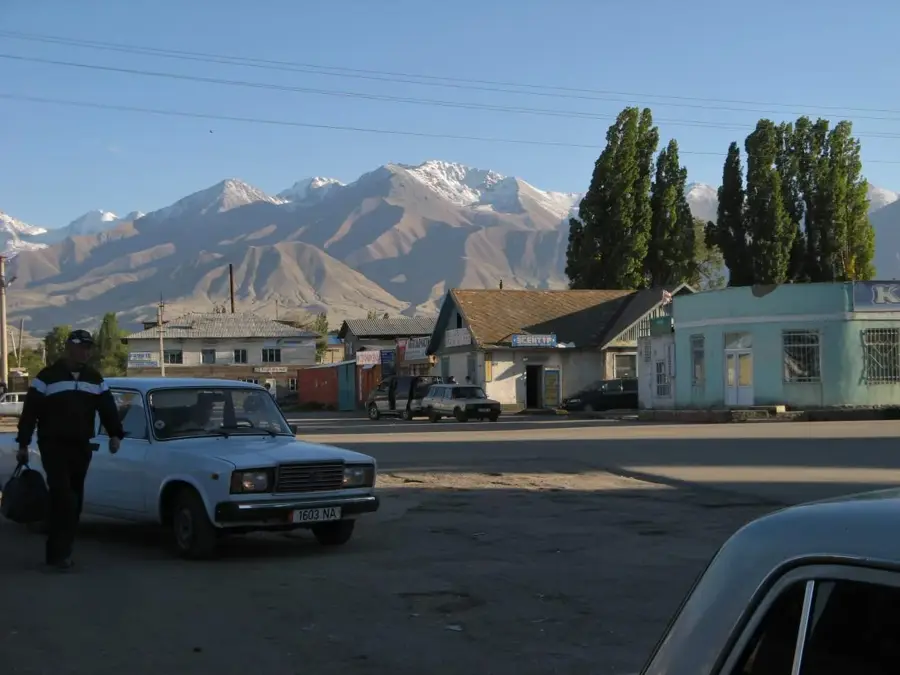
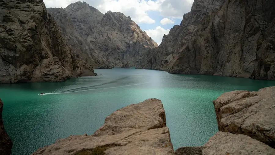
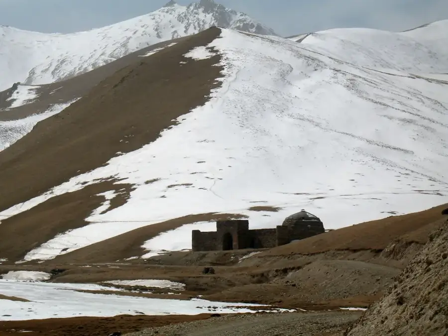
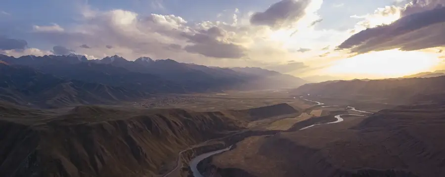
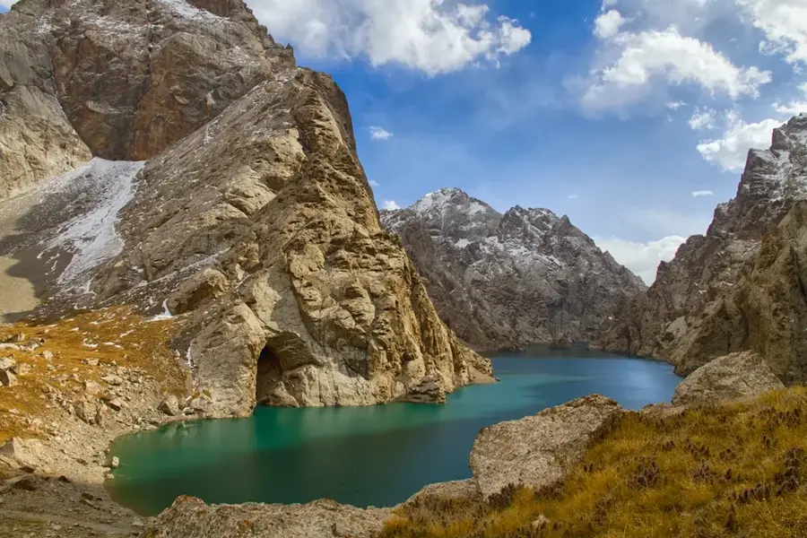
The Naryn Valley is a massive, highly spectacular gorge located deep within the heart of the internal Tian Shan mountains, carved painstakingly into the rock over millennia by the rushing Naryn River, the absolute longest waterway in Kyrgyzstan. Sitting at an average elevation well over 2,000 meters, the valley slices through a harsh but beautiful landscape characterized by steep, vibrantly red sandstone cliffs, arid mountain steppes, and craggy ridges. The city of Naryn, squeezed narrowly along the riverbanks, serves as the remote administrative center of this rugged region. Historically, the valley functioned as an immensely important, though physically grueling, corridor on the Silk Road; merchants had to survive perilous river crossings and navigate high-altitude passes to reach Kashgar in China. Today, the valley remains a crucial transport artery for international trade, and the river is heavily harnessed for hydroelectric power through massive structures like the Toktogul Dam. Despite this infrastructure, the valley firmly retains its wild, majestic character, offering sweeping panoramas and deeply isolated trekking routes.
- Location: Kyrgyzstan
- Nearby: At-Bashy (13 km)
Best time to visit & climate
The most pleasant time to visit is Jun–Aug.
| Jan | Feb | Mar | Apr | May | Jun | Jul | Aug | Sep | Oct | Nov | Dec | |
|---|---|---|---|---|---|---|---|---|---|---|---|---|
| Avg °C | -13 | -11 | -4 | 2 | 6 | 9 | 12 | 11 | 7 | 1 | -6 | -11 |
| Rain mm | 9 | 14 | 21 | 33 | 43 | 47 | 36 | 26 | 18 | 20 | 16 | 14 |
📋 Practical info
Geography
Facts
- A deeply carved mountain gorge sitting at an average elevation over 2,000 meters.
- Sculpted by the Naryn River, the absolute longest waterway in Kyrgyzstan.
- Visually characterized by steep, dramatically vibrant red sandstone cliffs.
- Historically served as a crucial, physically grueling corridor on the Silk Road.
- The city of Naryn is narrowly squeezed directly along the rushing riverbanks.
- The river's immense power is heavily harnessed downstream for hydroelectricity.
Explore nearby
Notable places around
Route planner — Car & Motorhome
Where do you start? We build the route here, with stops and country notes along the way.
© OpenStreetMap contributors · OpenRouteService
Sights in the town Naryn Valley (1)
Sights nearby
Frequently asked questions
Which river flows through the Naryn Valley?
What is the landscape like in Naryn Valley?
What is the main city in the valley?
What historical site can you visit?
Are there rafting opportunities on the Naryn River?
Naryn Valley: where is it located?
Naryn Valley: when is the best time to visit?
Naryn Valley: why is it worth visiting?

Nearby cities
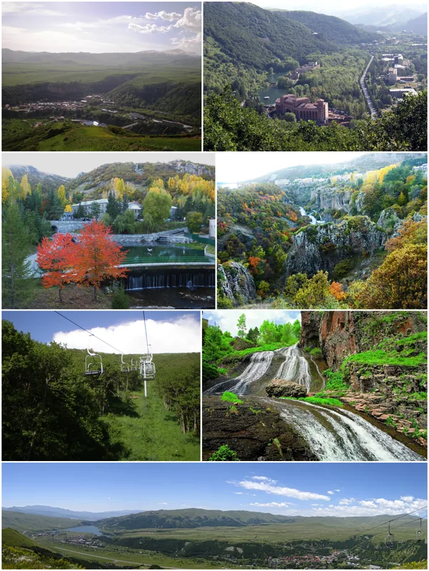
History & landmarks
Nature

More places