Plizio Visual Lab
Chatyr-Kul
Weather…
Water temperature…
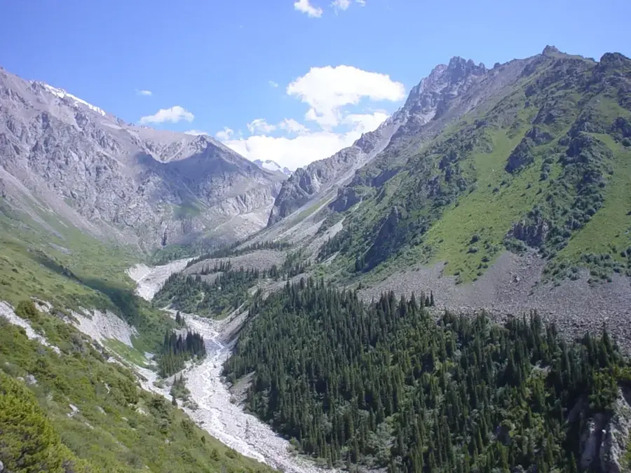
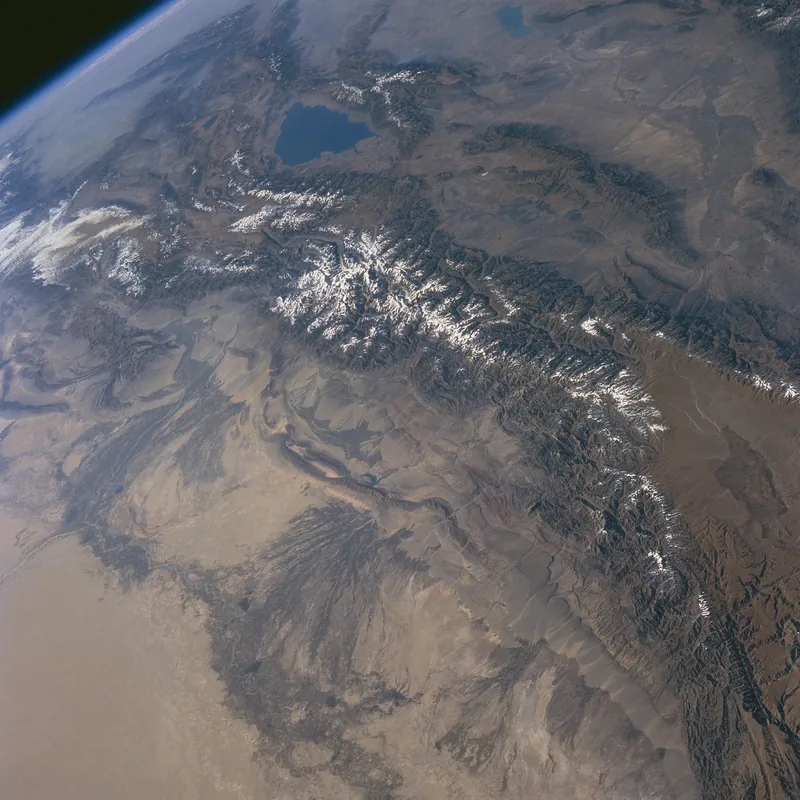
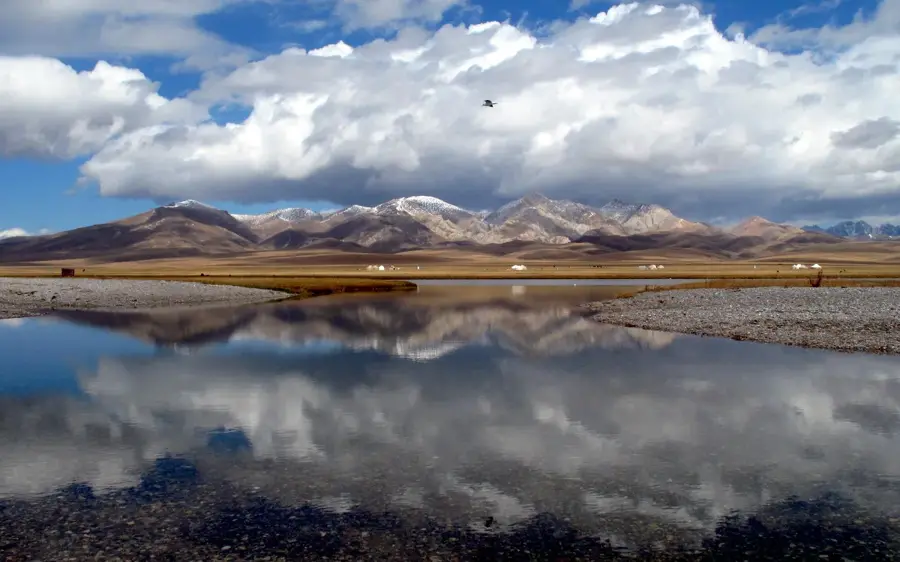
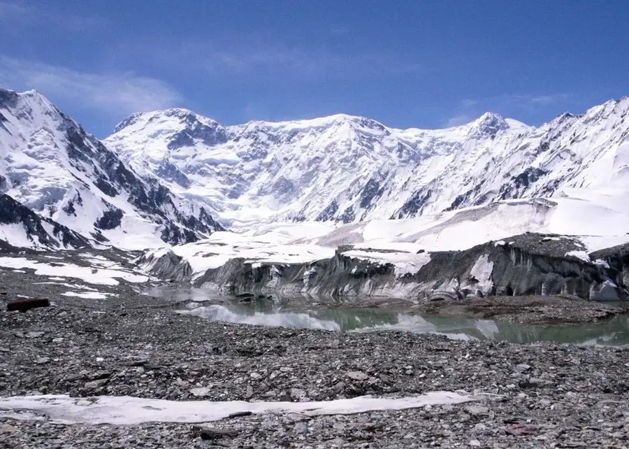
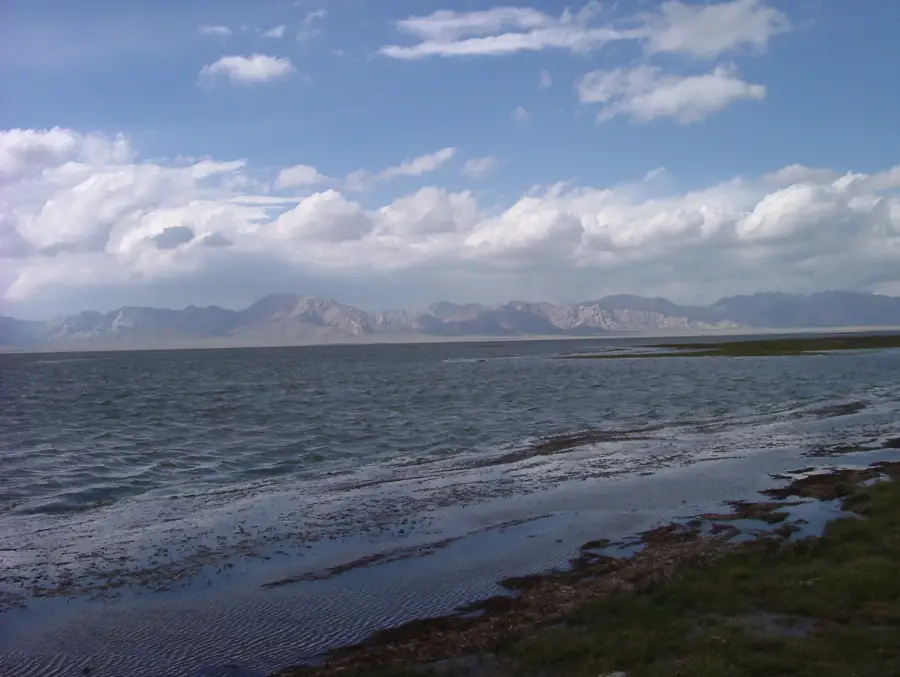
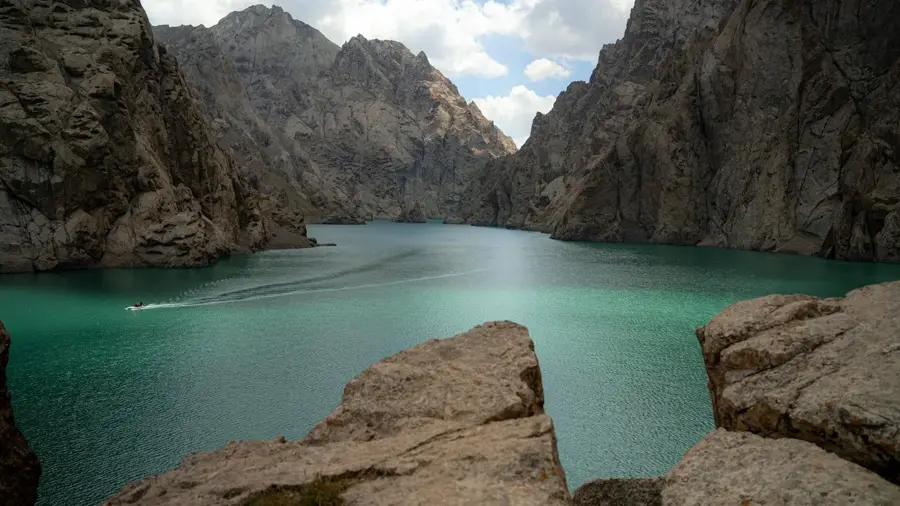
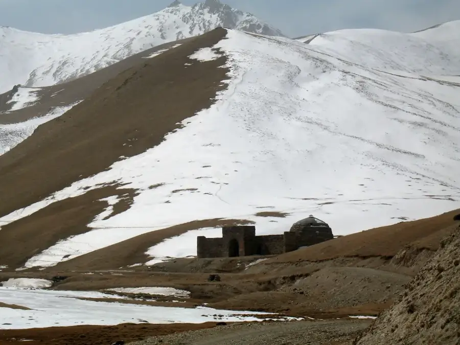
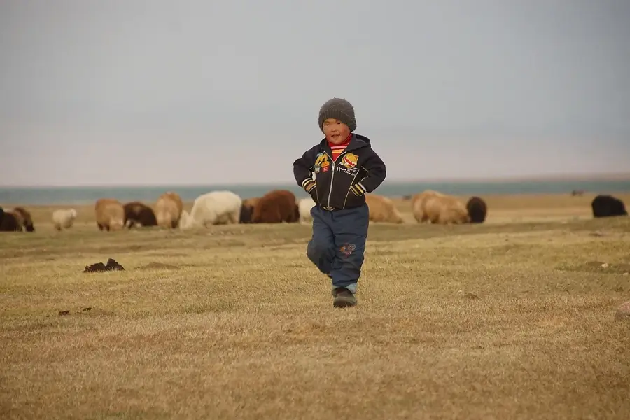
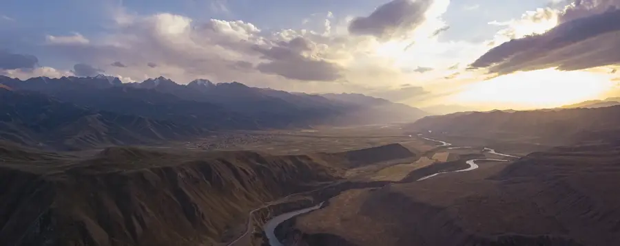
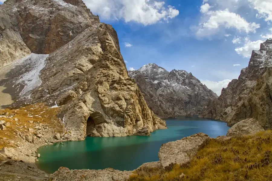
Chatyr-Kul is a vast endorheic high-altitude lake located in the At-Bashi Range of Kyrgyzstan's Naryn Region, near the Torugart Pass on the border with China. With a surface area ranging between 153 and 181 square kilometers, it lies at an elevation of 3,530 meters above sea level, making it the third-highest lake in the country. The lake basin is surrounded by towering mountain ranges and is characterized by an extremely harsh climate, with the lake being frozen for much of the year. Lacking an outlet, its water is slightly saline, supporting specialized aquatic flora and fauna. The area is recognized as a Ramsar site of international importance, serving as a vital stopover for thousands of migratory birds, including the rare bar-headed goose. The surrounding tundra-like landscape also provides habitat for Argali mountain sheep and snow leopards, making Chatyr-Kul an ecologically critical site in Central Asia.
- Location: Kyrgyzstan
- Nearby: At-Bashy (58 km)
Best time to visit & climate
The most pleasant time to visit is Jun–Aug.
| Jan | Feb | Mar | Apr | May | Jun | Jul | Aug | Sep | Oct | Nov | Dec | |
|---|---|---|---|---|---|---|---|---|---|---|---|---|
| Avg °C | -16 | -14 | -8 | -2 | 2 | 6 | 8 | 8 | 3 | -3 | -9 | -14 |
| Rain mm | 8 | 13 | 16 | 23 | 32 | 32 | 26 | 22 | 15 | 12 | 12 | 11 |
📋 Practical info
Geography
Facts
- The lake is situated at a significant elevation of 3,530 meters.
- The maximum depth of Chatyr-Kul is approximately 16.5 meters.
- The area was designated a Ramsar protected site in 2005.
- The lake is an endorheic basin with no surface outlet.
- Water temperatures in summer often hover around just 4 degrees Celsius.
- In winter, the ice cover on the lake can reach up to 1.5 meters in thickness.
Explore nearby
Notable places around
Route planner — Car & Motorhome
Where do you start? We build the route here, with stops and country notes along the way.
© OpenStreetMap contributors · OpenRouteService
Sights in the town Chatyr-Kul (1)
Sights nearby
Frequently asked questions
Where is Lake Chatyr-Kul located?
At what altitude is the lake?
Is a permit required?
Are there fish in the lake?
What are the temperatures like in winter?
Chatyr-Kul: where is it located?
Chatyr-Kul: when is the best time to visit?
Chatyr-Kul: why is it worth visiting?

Nearby cities
History & landmarks
Nature
More places