Plizio Visual Lab
Chu River
Weather…
Water temperature…
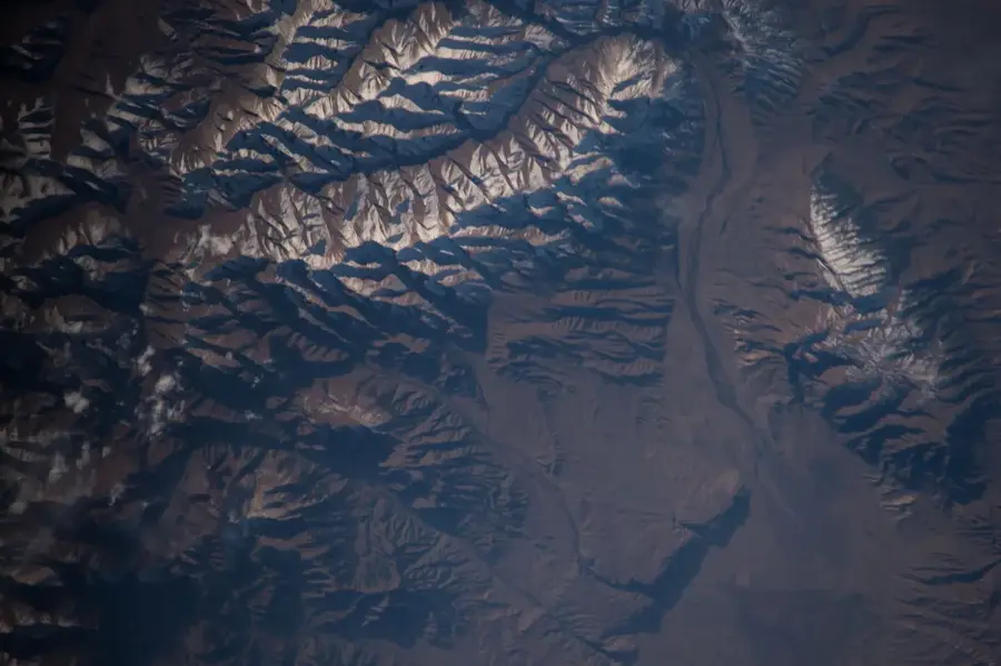
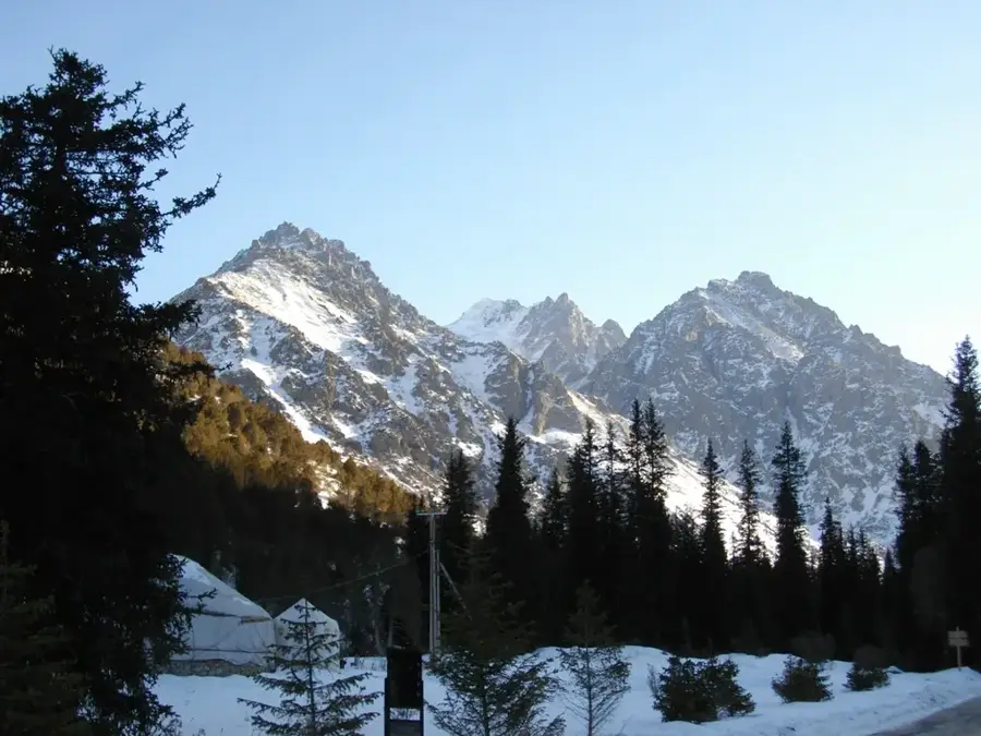
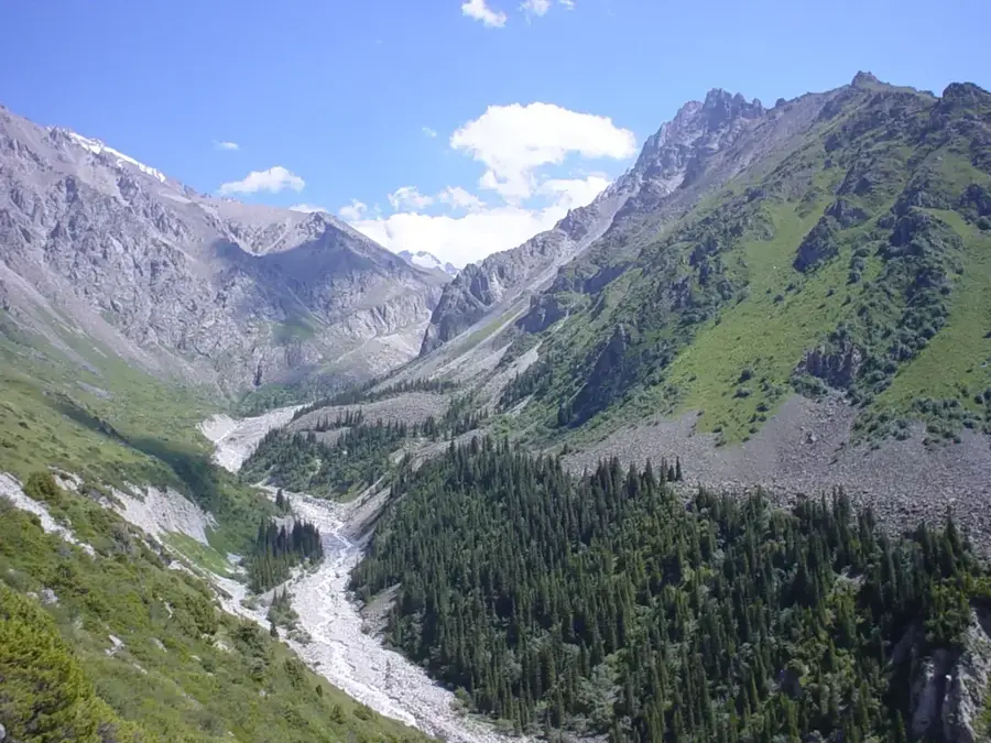
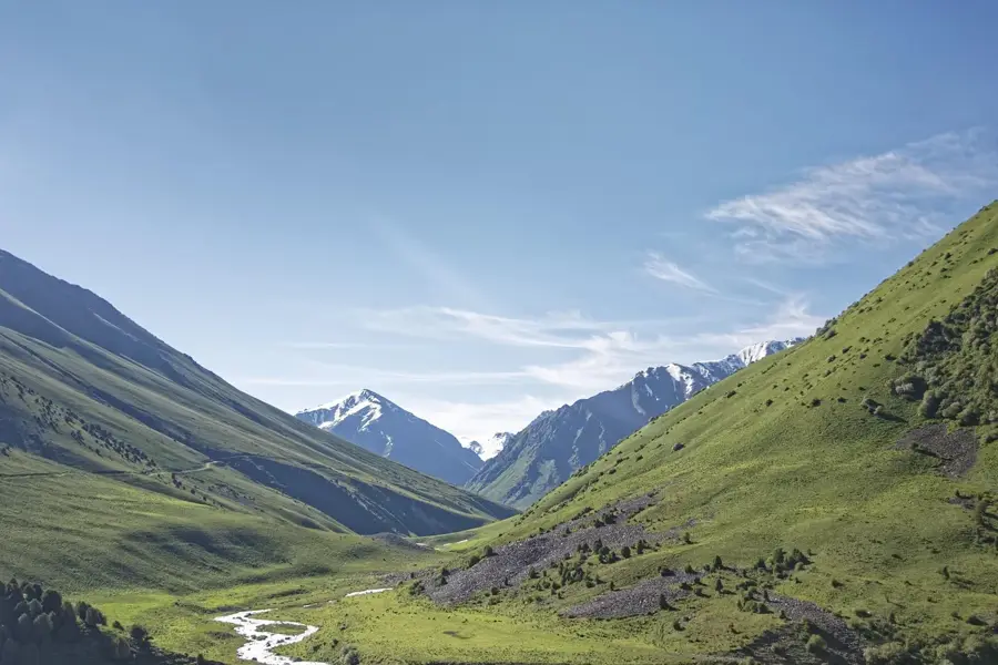
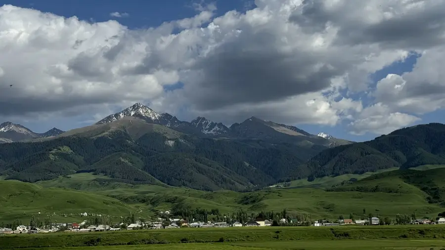
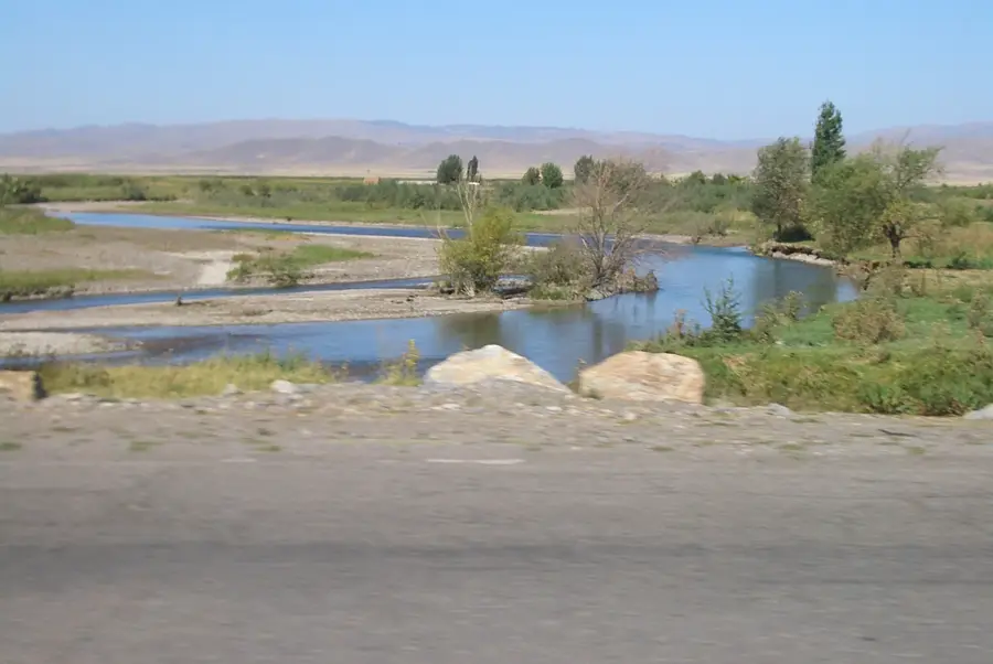
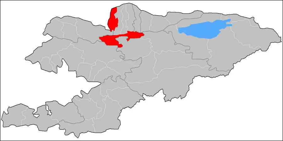
The Chu River, also known as the Chuy or Shu, is a significant waterway in Central Asia, flowing for 1067 kilometers through northern Kyrgyzstan and southern Kazakhstan. Formed by the confluence of the Joon-Aryk and Kochkor rivers, it traverses the rugged Boom Gorge before entering the fertile Chuy Valley, which is the most densely populated region of Kyrgyzstan and home to the capital, Bishkek. The river is essential for the region's agriculture, with its waters diverted into an extensive network of irrigation canals that support vast fields of crops. Geographically, the Chu is an endorheic river, meaning it does not reach an ocean; instead, it eventually dissipates into the sands of the Muyunkum Desert in Kazakhstan. Historically, the river valley was a key corridor for trade and settlement, housing the ancient city of Balasagun, the capital of the Kara-Khanid Khanate. Today, long stretches of the river define the international border between Kyrgyzstan and Kazakhstan, making it a critical site for regional water management.
- Location: Kyrgyzstan
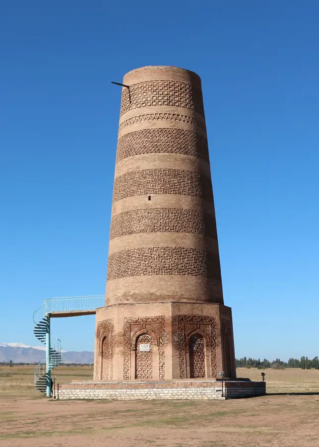
- Top sights: Kordai batyr · Mechet' Kordai batyra · Doroi
- Nearby: Kant (8 km)
Best time to visit & climate
The most pleasant time to visit is Jun, Aug, Sep.
| Jan | Feb | Mar | Apr | May | Jun | Jul | Aug | Sep | Oct | Nov | Dec | |
|---|---|---|---|---|---|---|---|---|---|---|---|---|
| Avg °C | -1 | 1 | 7 | 12 | 17 | 22 | 25 | 24 | 18 | 11 | 4 | -1 |
| Rain mm | 22 | 29 | 43 | 65 | 53 | 34 | 24 | 15 | 16 | 37 | 37 | 29 |
📋 Practical info
Geography
Facts
- The Chu River spans a total length of 1067 kilometers.
- Its drainage basin covers approximately 62,500 square kilometers.
- The river serves as the Kyrgyz-Kazakh border for about 221 kilometers.
- It is an endorheic river that terminates in the Muyunkum Desert.
- The Orto-Tokoy Reservoir, built in 1960, is a major feature on its course.
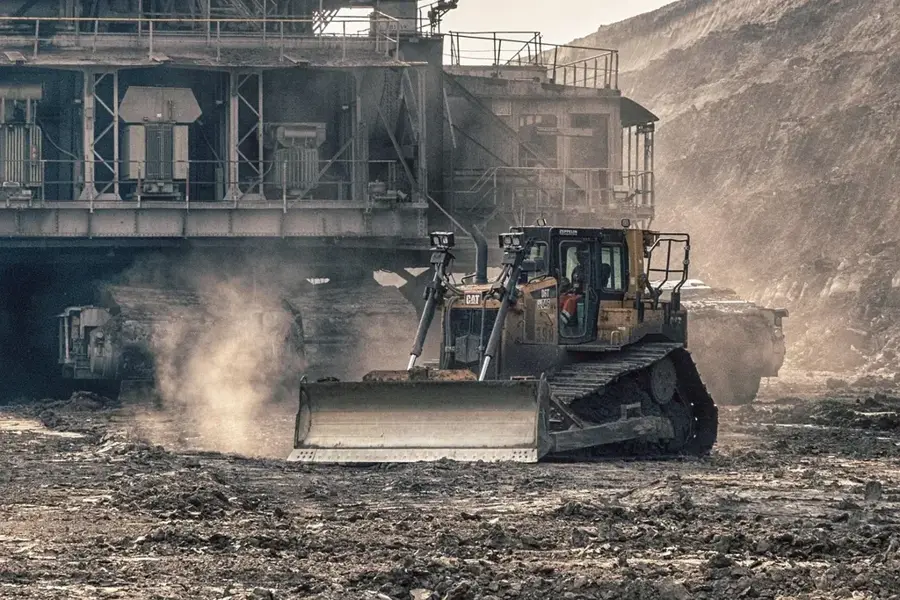
- The river is the primary source of water for the Chuy Valley's agriculture.
Explore nearby
Notable places around
Route planner — Car & Motorhome
Where do you start? We build the route here, with stops and country notes along the way.
© OpenStreetMap contributors · OpenRouteService
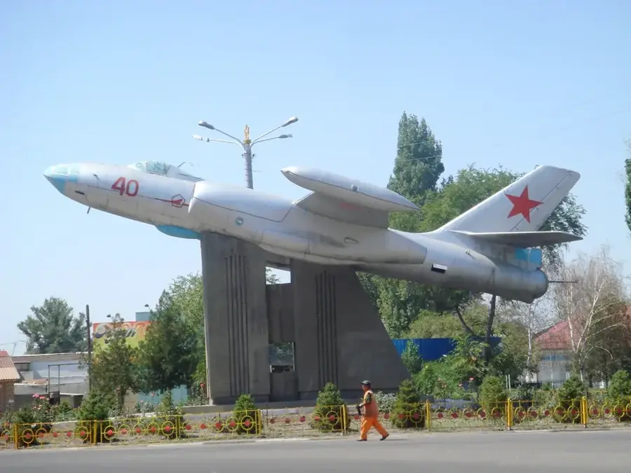
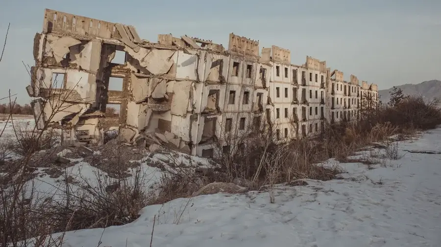
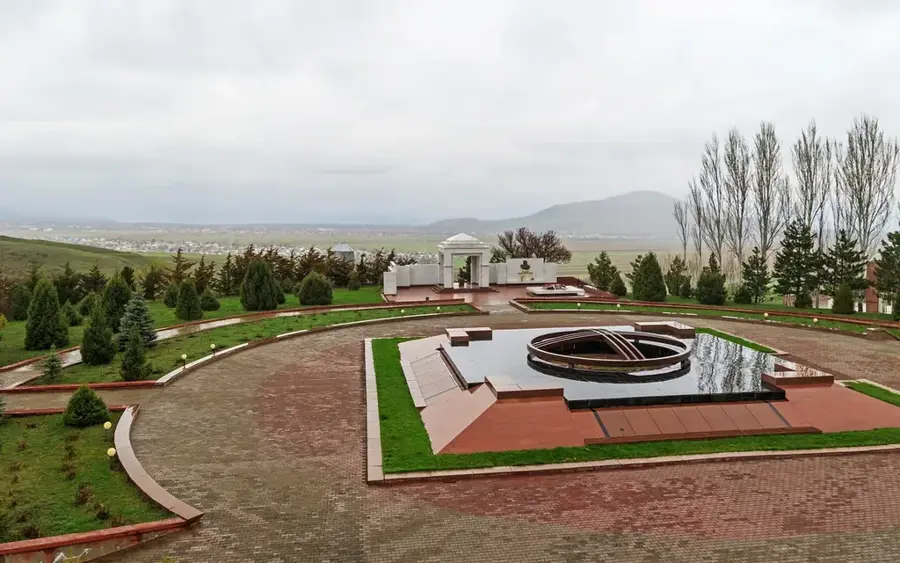
Sights in the town Chu River (4)
Sights nearby
Frequently asked questions
Where does the Chu River flow?
Is the Chu River navigable?
What is the Boom Gorge?
Is fishing possible on the Chu River?
Where does the river end?
Chu River: where is it located?
Chu River: what is there to see?
Chu River: when is the best time to visit?
Chu River: why is it worth visiting?

Nearby cities

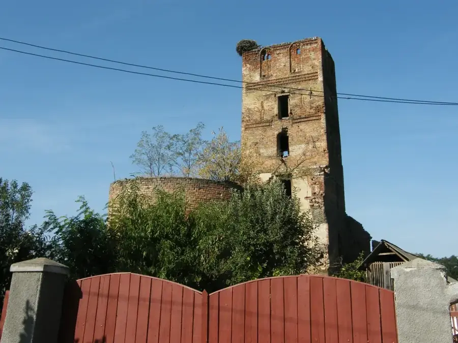


History & landmarks
More places