Plizio Visual Lab
Madaba Map
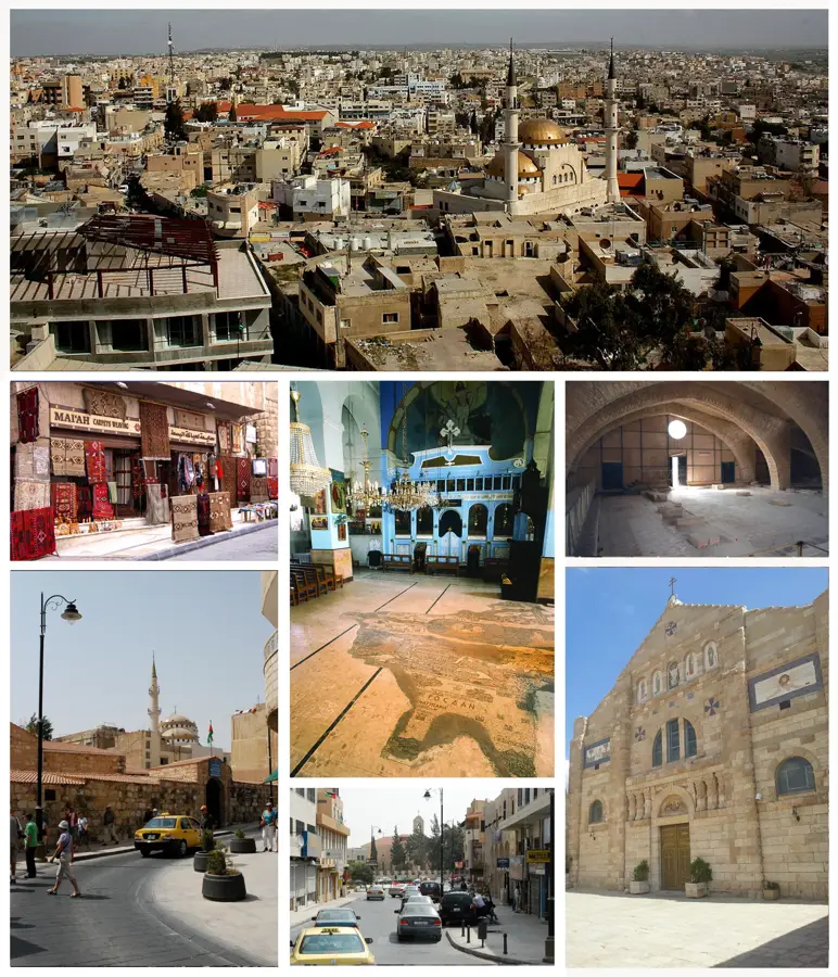
The Madaba Map is the oldest surviving cartographic depiction of the Holy Land, representing a priceless masterpiece of Byzantine art and geography. Located on the floor of the Greek Orthodox Church of St. George in Madaba, the mosaic dates back to the 6th century AD. It provides a highly detailed geographical rendering of the region, stretching from Lower Egypt to Lebanon, with a prominent and meticulously detailed bird's-eye view of Jerusalem at its center. The map is uniquely oriented toward the east and features numerous Greek labels for cities, along with illustrations of palm trees, boats on the Dead Sea, and desert wildlife. Originally measuring approximately 21 by 7 meters, only about a quarter of the mosaic has survived to the present day. Despite its fragmentary state, it has provided vital clues for archaeologists in identifying ancient biblical sites, such as the Nea Church in Jerusalem. Madaba remains the premier center for mosaic studies and restoration in the Middle East.
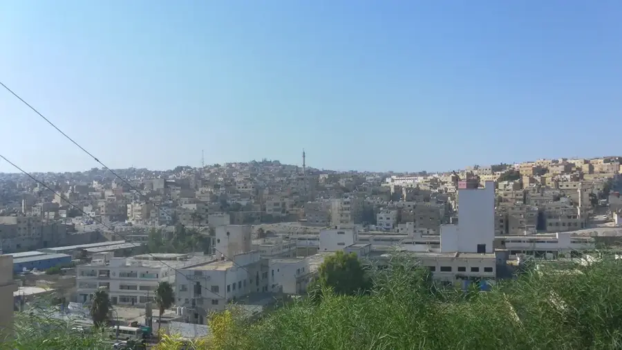
- Location: Jordan
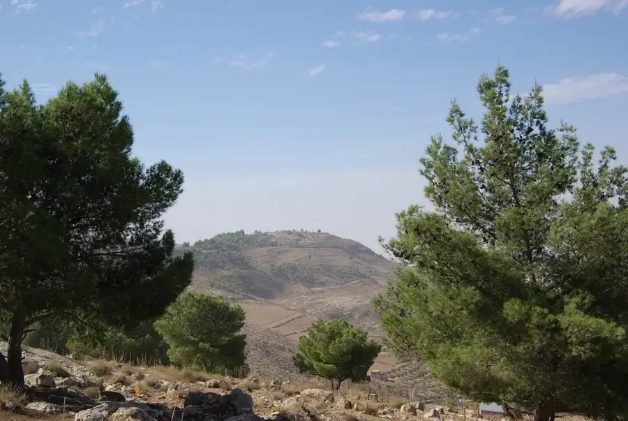
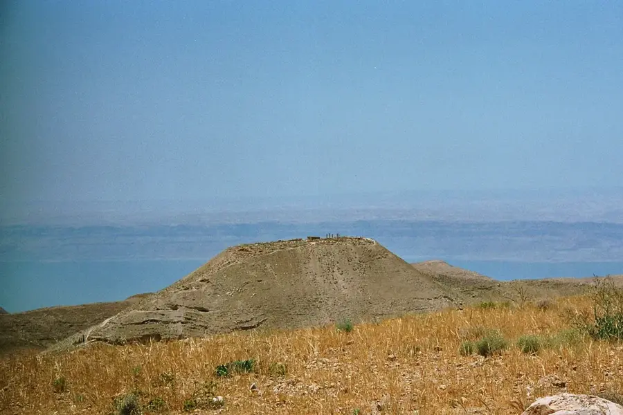
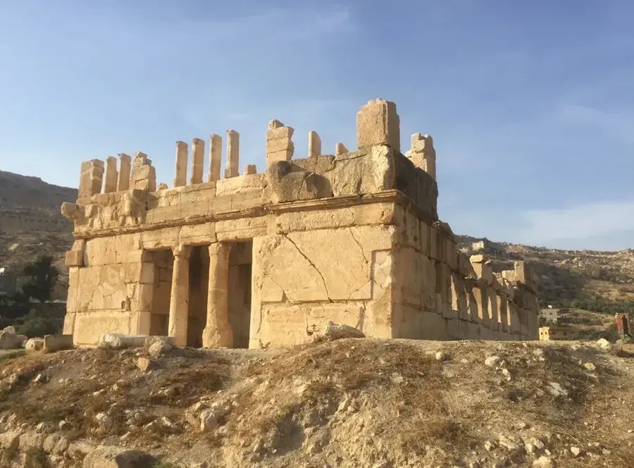
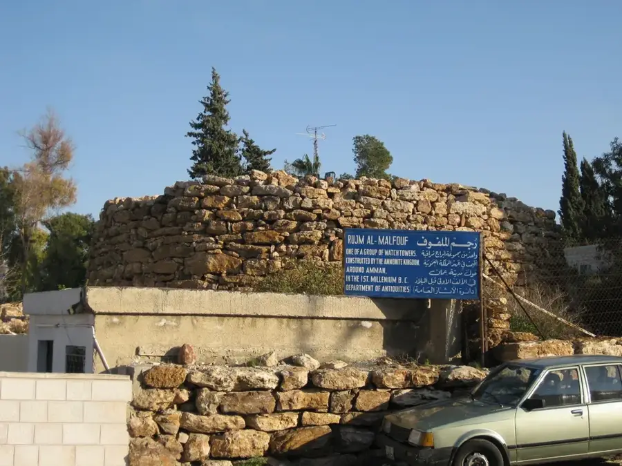
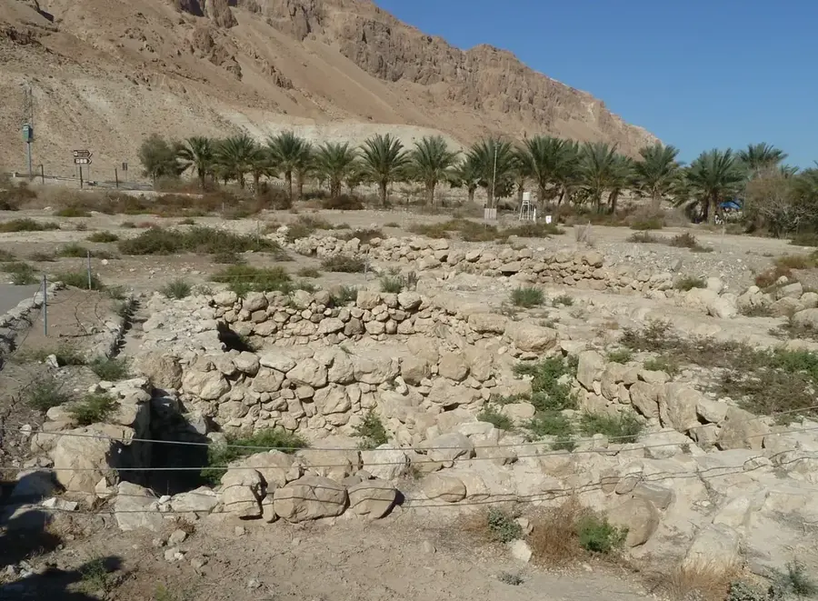
- Top sights: Khirbat Masuh · Kharabat Yusra · Iron Age Fortification Wall on West Acropolis
- Nearby: Al-Jiza (18 km)
Best time to visit & climate
The most pleasant time to visit is May, Sep, Oct.
| Jan | Feb | Mar | Apr | May | Jun | Jul | Aug | Sep | Oct | Nov | Dec | |
|---|---|---|---|---|---|---|---|---|---|---|---|---|
| Avg °C | 8 | 9 | 13 | 17 | 22 | 25 | 27 | 27 | 25 | 21 | 14 | 9 |
| Rain mm | 35 | 33 | 18 | 9 | 3 | 0 | 0 | 1 | 1 | 4 | 13 | 24 |
📋 Practical info
Geography
Facts
- The mosaic was created around 542 AD during the reign of Justinian.
- It was rediscovered in 1884 during the construction of a new church.
- The original map measured approximately 21 meters by 7 meters.
- It features over 150 Greek captions identifying biblical locations.
- Archaeologists used the map to locate the ruins of the Nea Church in 1970.
- An estimated two million individual stone cubes (tesserae) were used in its creation.
Explore nearby
Notable places around
Route planner — Car & Motorhome
Where do you start? We build the route here, with stops and country notes along the way.
© OpenStreetMap contributors · OpenRouteService
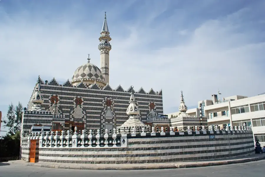
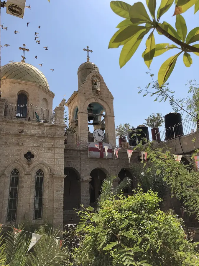
Sights in the town Madaba Map (8)
Sights nearby
Frequently asked questions
Where exactly is the mosaic map?
What does the map show?
How much is the entrance to the church?
Is photography allowed in the church?
Is there a dress code?
Madaba Map: where is it located?
Madaba Map: what is there to see?
Madaba Map: when is the best time to visit?
Madaba Map: why is it worth visiting?

Nearby cities

History & landmarks
Nature


More places