Plizio Visual Lab
Tengréla
ℹ️Practical info — Tengréla
▾
🌤 Weather — 5 days
📍 Nearby
Sights nearby
💡 Tips
- Being a border town, keep your passport and visa documents handy for occasional checks.
- The climate is Sahelian: extremely hot during the day and cooler at night. Dress in light layers.
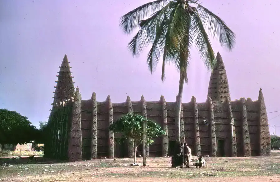
- Visit the ancient mud-brick mosques in the surrounding villages, a staple of Sahelian architecture.
- Friday is usually the main prayer day and market day, bringing an influx of traders from Mali.
🍽 Food
A rich, oily rice dish cooked with meat and vegetables, heavily influenced by Sahelian cuisine.
Mouton grillé, commonly found sizzling at roadside stands in the evenings.
A warm, sweet millet porridge often eaten for breakfast.
🛍 Shopping · 🧘 Quiet spots
A great place to find Malian textiles (Bògòlanfini or mud cloth) and leather goods.
You can find durable, hand-forged farming tools and knives in the artisan quarters.
Walk outside the town to sit under the massive, ancient baobab trees that dot the landscape.
Find a spot on the edge of town facing west to watch the spectacular, dusty Sahelian sunsets.
Water temperature…
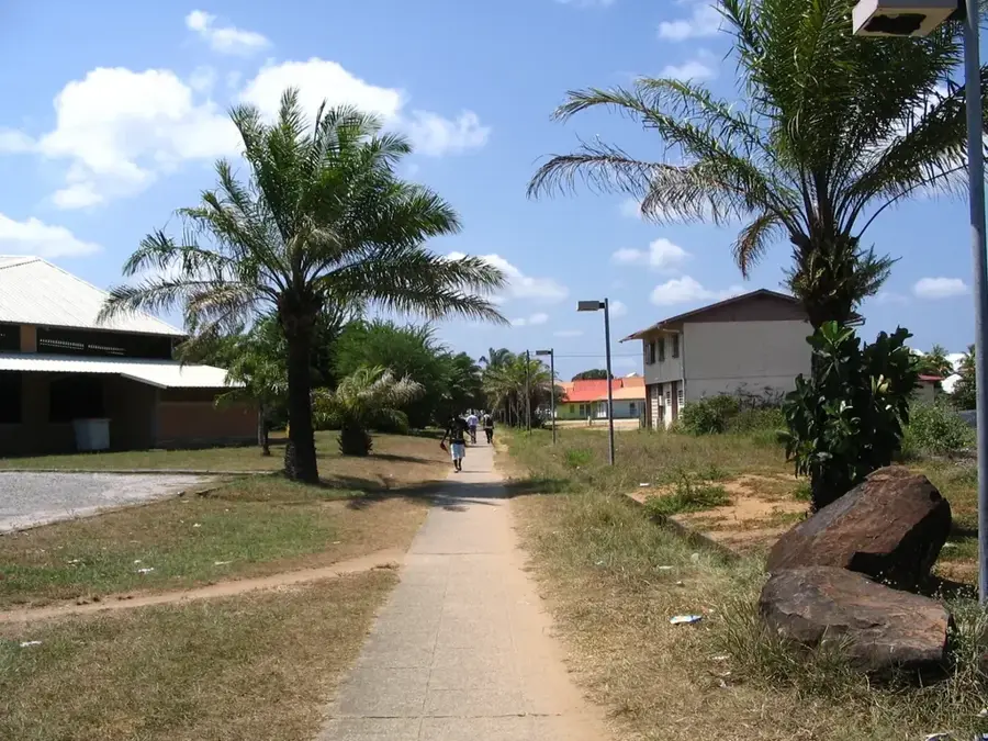
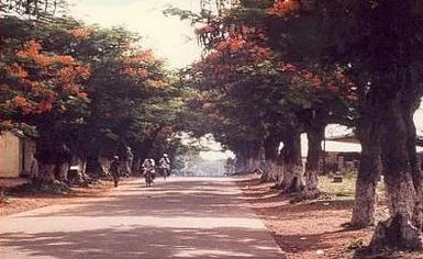
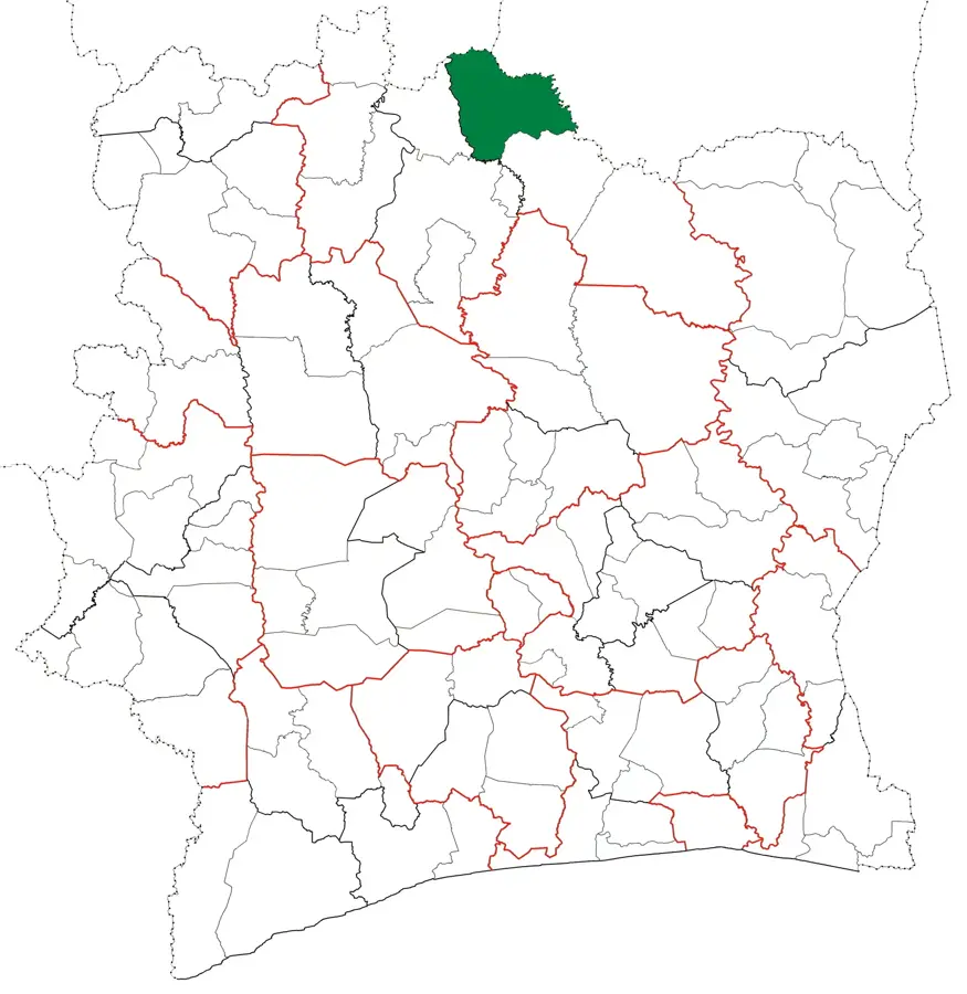
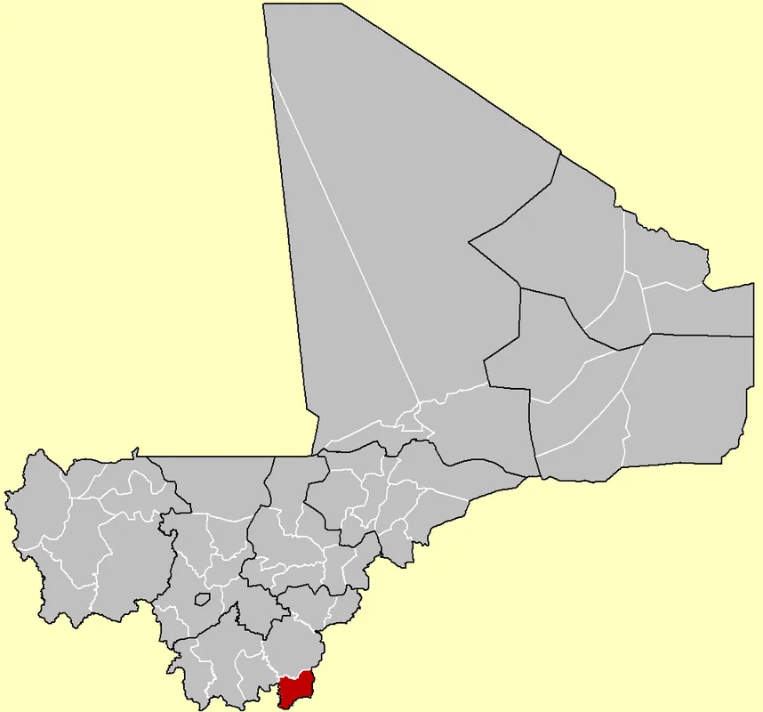
Tengréla is a historic border town in the far north of Ivory Coast, situated directly on the frontier with Mali. Located in the Bagoué region, the city has for centuries been a significant hub for trans-Saharan trade and cultural exchange in West Africa. Tengréla is particularly famous for its impressive Sudanese architecture, especially its mud mosques, which are part of the region's cultural heritage. Geographically, the area is characterized by a vast savanna landscape that takes on a characteristic golden appearance during the dry season. The local economy relies primarily on the cultivation of cotton, cashew nuts, and grains, as well as animated cross-border trade with Mali. More recently, gold mining in the surrounding area has gained importance, providing new economic impetus. The population consists predominantly of the Senoufo and Malinké ethnic groups, whose traditions and craftsmanship shape the town's identity. Tengréla plays a crucial role as an administrative center for border security and regional integration. The city is also known for its traditional weaving workshops, which produce high-quality fabrics using centuries-old methods.
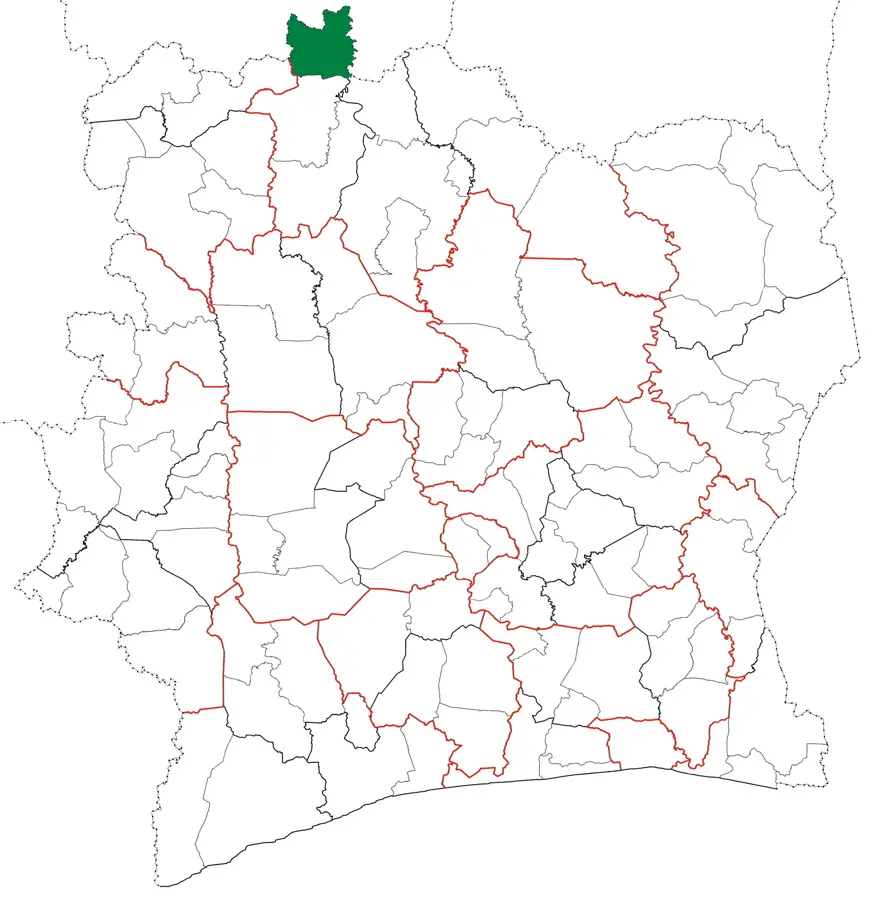
- Location: Côte d’Ivoire
- Nearby: Kouto (68 km)
- Population: ~52.271 (2023)
Best time to visit & climate
The most pleasant time to visit is Jan, Nov, Dec.
| Jan | Feb | Mar | Apr | May | Jun | Jul | Aug | Sep | Oct | Nov | Dec | |
|---|---|---|---|---|---|---|---|---|---|---|---|---|
| Avg °C | 26 | 29 | 31 | 31 | 30 | 28 | 26 | 25 | 25 | 26 | 26 | 25 |
| Rain mm | 3 | 4 | 17 | 56 | 101 | 168 | 246 | 300 | 222 | 86 | 7 | 0 |
Geography
Facts
- Tengréla is located at the northern end of Ivory Coast's major A3 highway.
- The town is home to one of the oldest mud-brick mosques in the Sudanese style.
- Cotton is the most important industrial crop in the Bagoué region.
- The distance to the Malian border is less than 10 kilometers.
- The climate is Sudano-Sahelian, characterized by a long dry season.
- The region is renowned for the traditional dances of the Senoufo people.
Explore nearby
Notable places around
Route planner — Car & Motorhome
Where do you start? We build the route here, with stops and country notes along the way.
© OpenStreetMap contributors · OpenRouteService
Sights in the town Tengréla (1)
Frequently asked questions
What is the most famous attraction?
Is Tengréla a border town?
What crafts can be found here?
How is the climate in the north?
When is market day?
Tengréla: where is it located?
Tengréla: when is the best time to visit?
Tengréla: why is it worth visiting?

Nearby cities
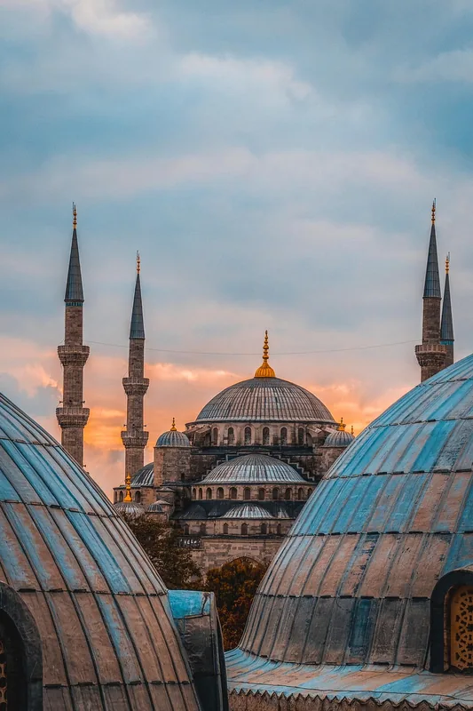
History & landmarks