Plizio Visual Lab
Kouto
ℹ️Practical info — Kouto
▾
🌤 Weather — 5 days
📍 Nearby
Sights nearby
💡 Tips
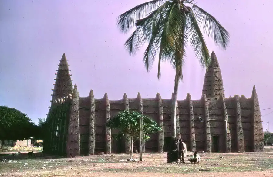
- The region is famous for its distinct Sahelian-style mud mosques; dress modestly and ask permission if you wish to look closely or take photos.
- The climate in northern Ivory Coast is hot and dry; schedule your sightseeing for the early morning or late afternoon.
- Motorbike taxis are the most common way to navigate the sandy streets; agree on the fare before hopping on.
- Respect traditional customs; greetings are long and important, so take your time when introduced to locals or village chiefs.
🍽 Food
Attiéké (fermented cassava) topped with fried tuna and chopped vegetables, available at street food stalls.
A slow-cooked spicy stew of chicken or guinea fowl, best enjoyed at a local maquis.
A traditional fermented millet beer. You can try it in small local cabarets, usually served in calabash gourds.
🛍 Shopping · 🧘 Quiet spots
The north is known for heavy, handwoven cotton cloth (toile de Korhogo style). Look for weavers working on narrow looms.
A good place to find shea butter (beurre de karité) and traditional spices directly from the producers.
While you may not be able to enter, observing the beautiful traditional Sudano-Sahelian architecture from the outside is a peaceful experience.
Rest under a large mango or baobab tree, often the traditional meeting place (arbre à palabres) for the community.
Water temperature…
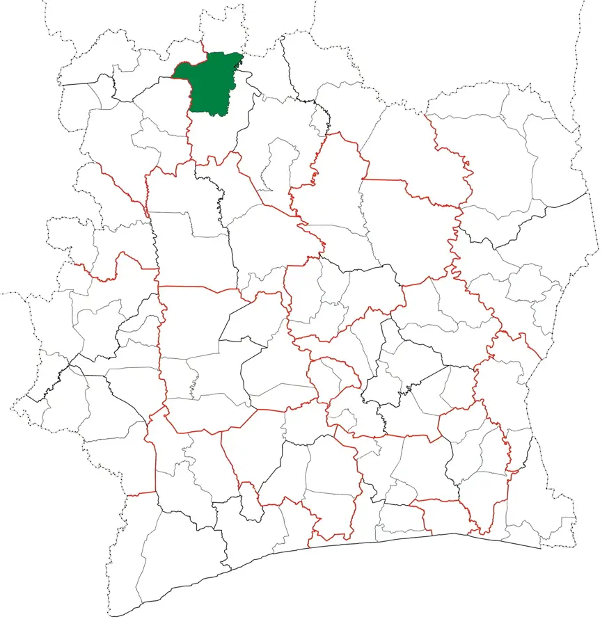
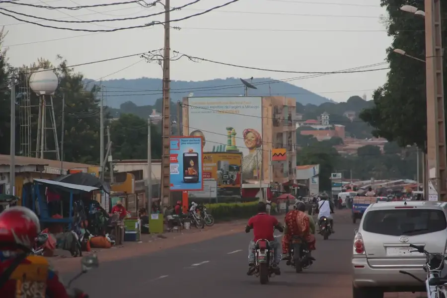
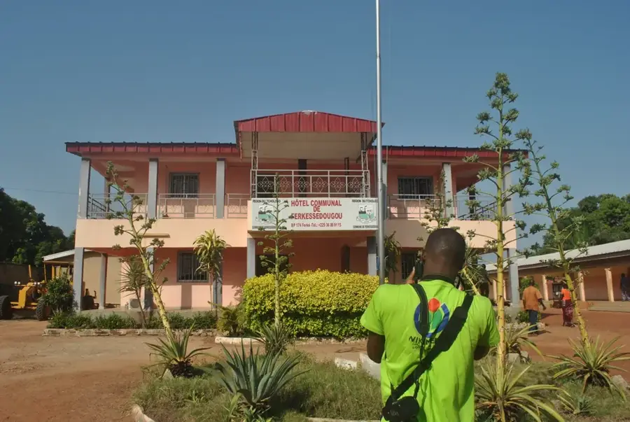
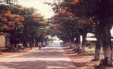
Kouto is a culturally significant town in northern Cote d'Ivoire, located in the Bagoue region of the Savanes District. The town is primarily celebrated for its rich cultural heritage and remarkable architecture, most notably its centuries-old Sudanese-style mosques built from mud bricks. As a major center for the Senoufo people, Kouto is a place where traditional crafts such as weaving and blacksmithing are still practiced and preserved with great skill. The region's economy is largely driven by agriculture, with cotton and cashew nuts serving as the primary export crops grown across the expansive savanna plains. Geographically, Kouto is positioned along a vital north-south axis connecting Cote d'Ivoire with neighboring Mali, granting the town a significant role in cross-border trade. Visitors are drawn to Kouto for its authentic atmosphere and the unique opportunity to witness the deeply rooted traditions of the Senoufo people set against a historic landscape.
- Location: Côte d’Ivoire
- Nearby: Mbengue (42 km)
- Population: ~14.245 (2023)
Best time to visit & climate
The most pleasant time to visit is Jan, Nov, Dec.
| Jan | Feb | Mar | Apr | May | Jun | Jul | Aug | Sep | Oct | Nov | Dec | |
|---|---|---|---|---|---|---|---|---|---|---|---|---|
| Avg °C | 26 | 29 | 30 | 30 | 29 | 27 | 26 | 25 | 25 | 26 | 26 | 25 |
| Rain mm | 3 | 8 | 29 | 66 | 96 | 148 | 207 | 261 | 194 | 90 | 12 | 1 |
Geography
Facts
- Kouto is located in the Bagoue administrative region.
- The town is famous for its ancient mud-brick mosques in Sudanese style.
- It serves as a key cultural center for the Senoufo people.
- Kouto is positioned on the RN3 national highway leading to Mali.
- Cotton and cashew nuts are the primary agricultural exports of the area.
- The nearby village of Waraniene is well-known for its traditional weavers.
Explore nearby
Notable places around
Route planner — Car & Motorhome
Where do you start? We build the route here, with stops and country notes along the way.
© OpenStreetMap contributors · OpenRouteService
Frequently asked questions
What is the most important sight?
Is there traditional craftsmanship?
How is the climate?
Which ethnicity lives here?
When is the weekly market?
Kouto: where is it located?
Kouto: when is the best time to visit?
Kouto: why is it worth visiting?

Nearby cities

History & landmarks
More places