Plizio Visual Lab
Dolomites
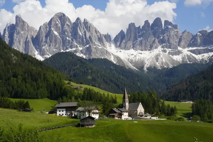
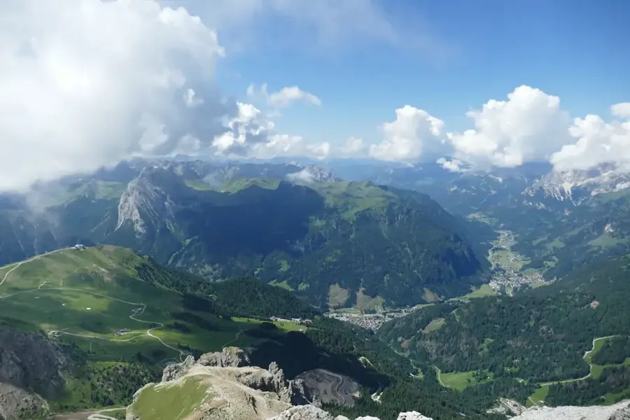
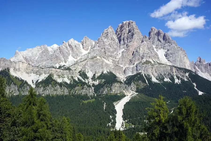
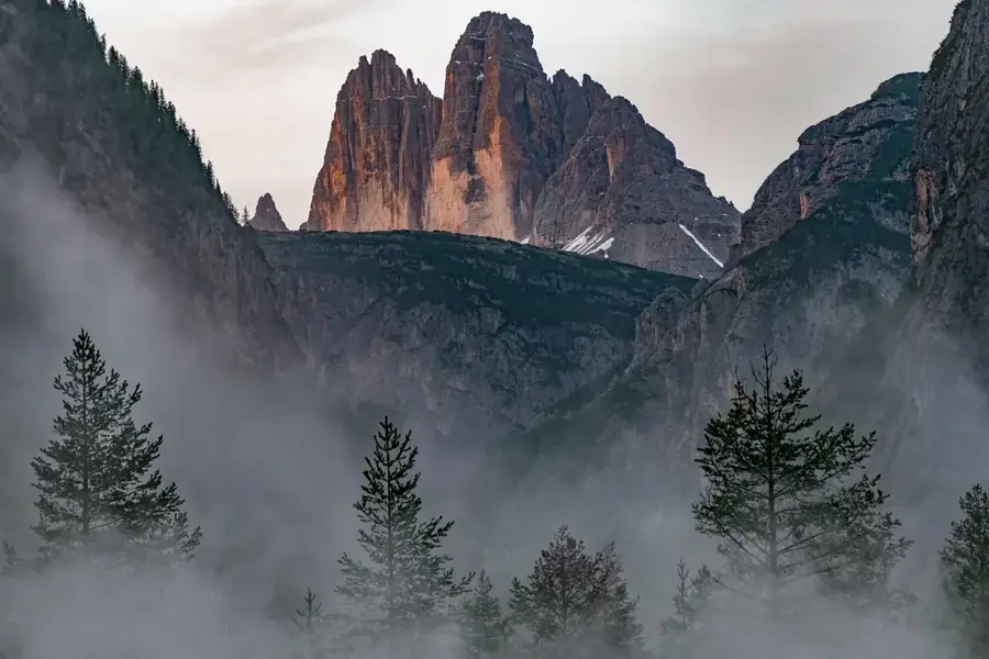
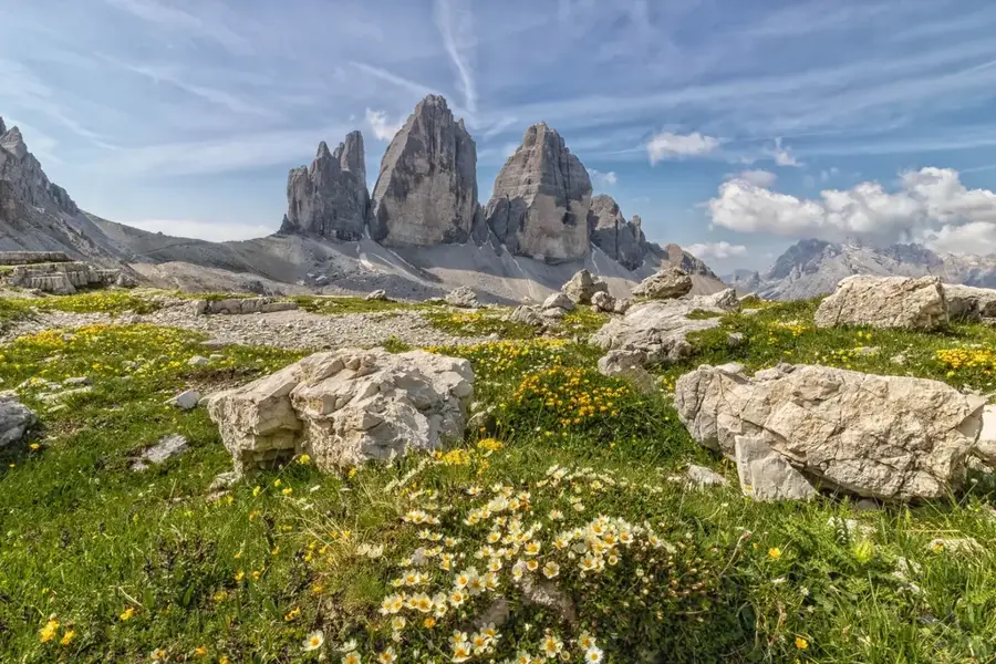
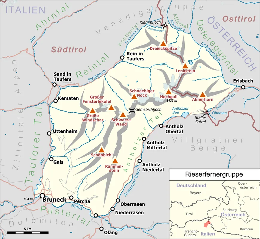
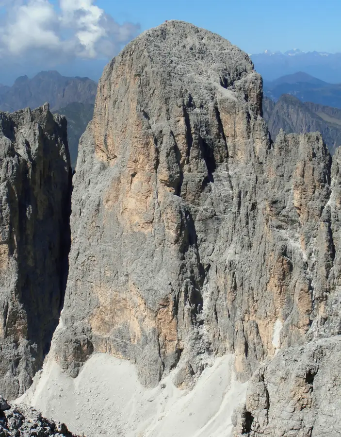
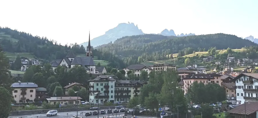
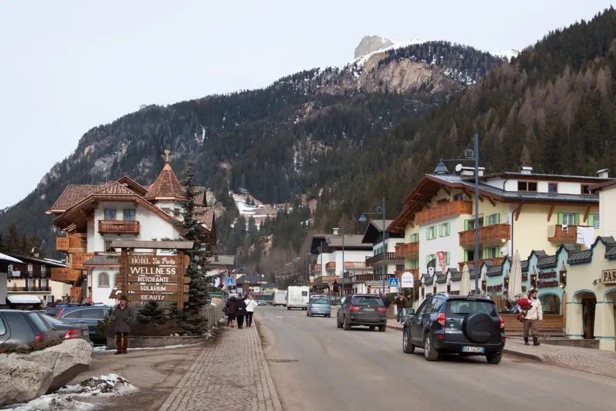
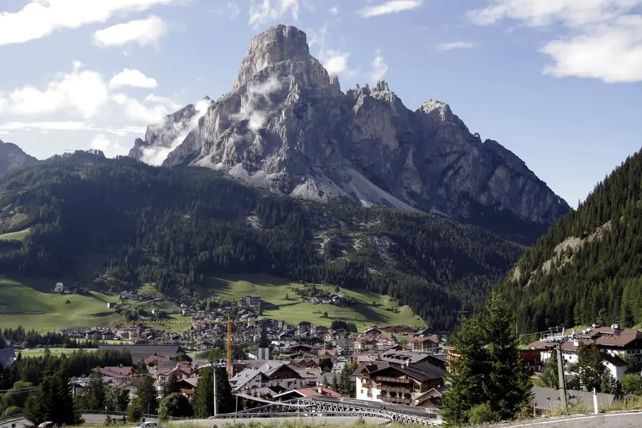
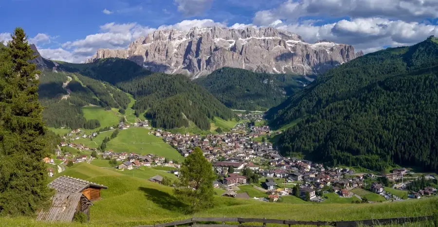
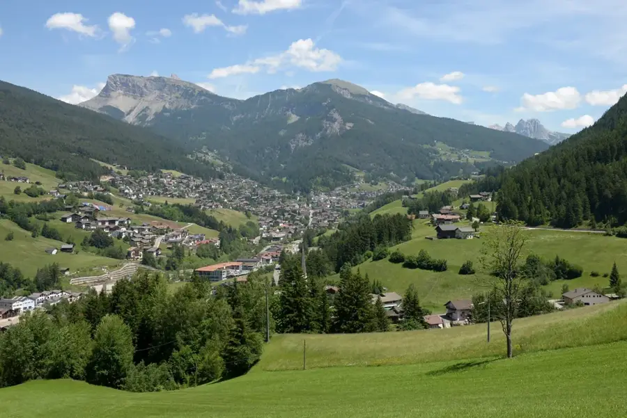
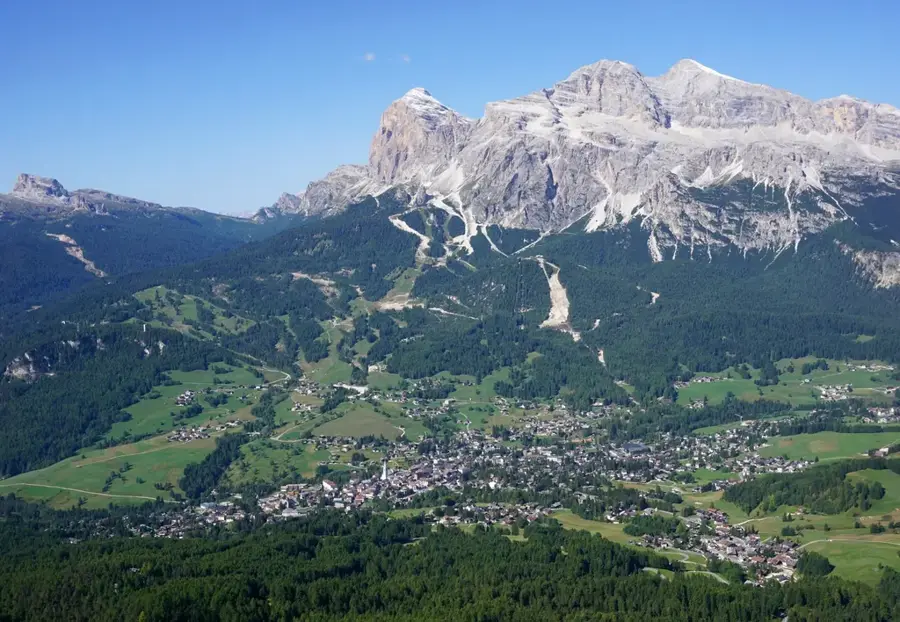
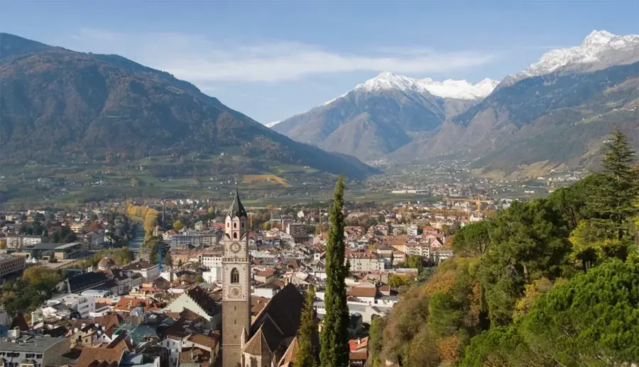
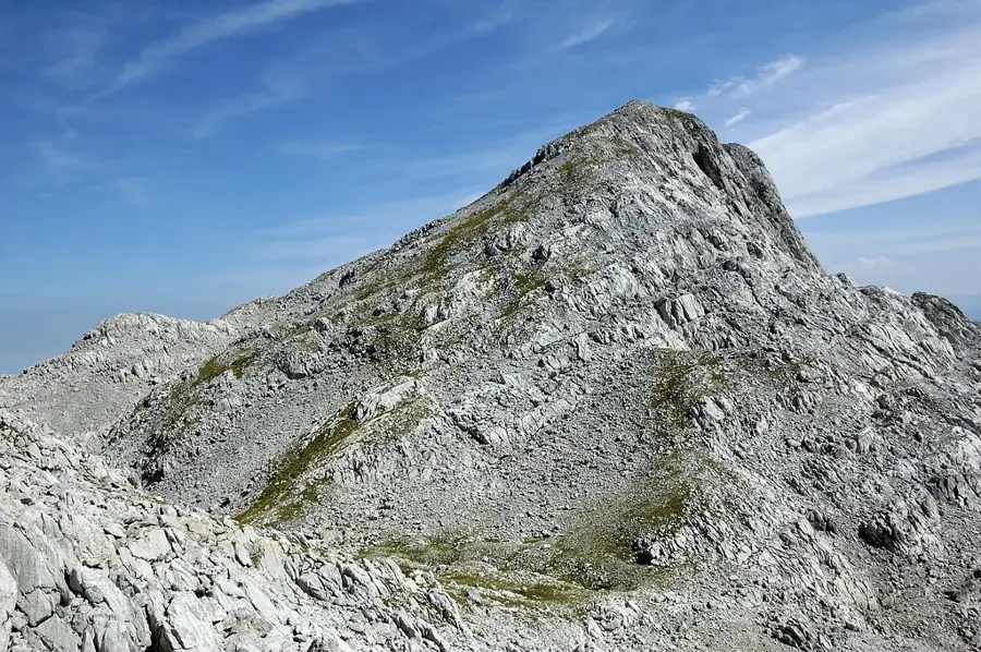
The Dolomites are a spectacular mountain range in the Northern Italian Alps, extending across the provinces of Belluno, South Tyrol, and Trentino. They are famous for their unique geological composition, the dolomite rock, which at sunrise and sunset creates a phenomenon called 'Enrosadira' or alpenglow, where the peaks turn animated shades of pink, orange, and purple. This mountain range features 18 peaks that rise above 3,000 meters, with the highest point being the Marmolada at 3,343 meters. Due to their exceptional natural beauty and geological importance, the Dolomites were inscribed as a UNESCO World Heritage site in 2009. The region is a paradise for outdoor enthusiasts, offering year-round activities such as hiking, mountaineering, skiing, and mountain biking. The area's culture is a fascinating blend of Italian, Austrian, and Ladin traditions, which is reflected in the local cuisine, language, and architecture.
- Location: Veneto, Italy
- Top sights: Cima Bocche - Cimon de Boce · Col Margherita - Col de Margarita · Baracche Italiane
Best time to visit & climate
The most pleasant time to visit is Jun–Aug.
| Jan | Feb | Mar | Apr | May | Jun | Jul | Aug | Sep | Oct | Nov | Dec | |
|---|---|---|---|---|---|---|---|---|---|---|---|---|
| Avg °C | -7 | -6 | -1 | 4 | 8 | 12 | 14 | 14 | 9 | 5 | 0 | -5 |
| Rain mm | 41 | 44 | 56 | 76 | 110 | 119 | 124 | 140 | 100 | 101 | 97 | 56 |
📋 Practical info
Geography
Facts
- The Marmolada is the highest peak in the Dolomites, at 3,343 meters (10,968 feet).
- The Dolomites were declared a UNESCO World Heritage site in 2009.
- The total area of the UNESCO site covers 141,903 hectares.
- The name derives from the French geologist Déodat de Dolomieu, who identified the rock in the 18th century.
- There are over 20,000 km of marked hiking trails in the region.
- The Ladin language, a Rhaeto-Romance dialect, is still spoken in several valleys.
Explore nearby
Notable places around
Route planner — Car & Motorhome
Where do you start? We build the route here, with stops and country notes along the way.
© OpenStreetMap contributors · OpenRouteService
Sights in the town Dolomites (8)
Sights nearby
Frequently asked questions
When is the best time for hiking?
Do you need a car?
Are the Dolomites suitable for beginners?
What is the most famous rock formation?
Are there toll roads?
Dolomites: where is it located?
Dolomites: what is there to see?
Dolomites: when is the best time to visit?
Dolomites: why is it worth visiting?

Nearby cities
History & landmarks
Nature
More places