Plizio Visual Lab
Hebron Hills
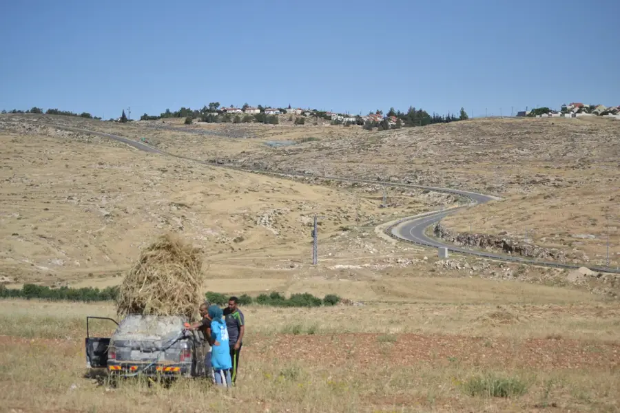
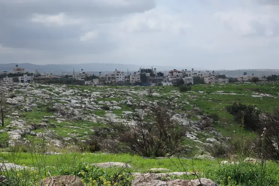
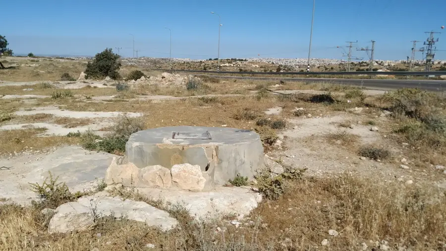
The Hebron Hills, forming the southern portion of the central highlands in the West Bank, are a region of rugged beauty and ancient agricultural traditions. Characterized by rocky limestone slopes that rise above 1,000 meters, the landscape is defined by its extensive system of stone-walled terraces. These terraces have been used for millennia to cultivate olives and, most notably, grapes, for which the region is historically famous. The elevated altitude provides a cooler climate than the surrounding valleys, creating well-suited conditions for viticulture and occasionally bringing snow in the winter months. The hills are home to numerous archaeological sites, including ancient presses, cisterns, and ruins that tell the story of the area's long human history. Beyond farming, the Hebron Hills offer dramatic vistas, with the Judean Desert falling away to the east and the coastal plains visible to the west on clear days. It is a land where traditional pastoral life continues to thrive amidst a landscape of deep cultural and historical significance.
- Location: Palestinian Territories
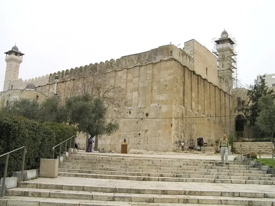
- Top sights: AlNaji · Historical Graves · sharawi
- Nearby: Halhul (5 km)
Best time to visit & climate
The most pleasant time to visit is Apr, May, Oct.
| Jan | Feb | Mar | Apr | May | Jun | Jul | Aug | Sep | Oct | Nov | Dec | |
|---|---|---|---|---|---|---|---|---|---|---|---|---|
| Avg °C | 10 | 12 | 15 | 18 | 22 | 25 | 27 | 27 | 25 | 22 | 17 | 12 |
| Rain mm | 59 | 42 | 27 | 15 | 4 | 0 | 1 | 0 | 2 | 12 | 31 | 48 |
📋 Practical info
Geography
Facts
- Highest point near Halhul at 1,020 meters
- Most important viticulture region in the area
- Annual rainfall ranges between 400 and 600 mm
- Presence of ancient agricultural terraces
- Habitat for rare birds of prey such as the Egyptian vulture
- Traditional limestone architecture in mountain villages
Explore nearby
Notable places around
Route planner — Car & Motorhome
Where do you start? We build the route here, with stops and country notes along the way.
© OpenStreetMap contributors · OpenRouteService
Sights in the town Hebron Hills (7)
Sights nearby
Frequently asked questions
What characterizes the Hebron Hills?
Is it a hiking region?
Should one have a guide?
Is it beautiful all year round?
How is the weather?
Hebron Hills: where is it located?
Hebron Hills: what is there to see?
Hebron Hills: when is the best time to visit?
Hebron Hills: why is it worth visiting?

Nearby cities