Plizio Visual Lab
Slieve Callan
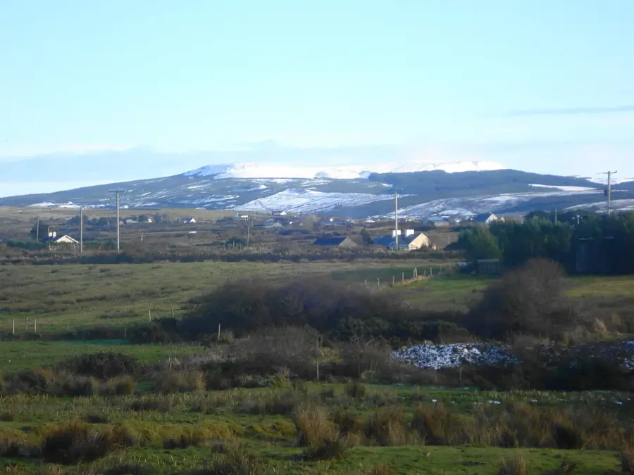
Slieve Callan is the highest point in west County Clare, reaching 391 meters. Geologically, the mountain consists of Carboniferous sandstone and shale layers. It is primarily known for its archaeological history, particularly the Callan Ogham stone discovered in the 18th century. Despite debates over the authenticity of the inscription, the site remains a significant testament to early Irish history. From the summit, visitors enjoy views of the Atlantic coast, the Aran Islands, and the Burren to the north. The slopes of Slieve Callan are now partially used for wind energy, while still preserving large areas of natural bogland. The mountain is an important local landmark and a favored spot for hikers in the West Clare uplands. In local tradition, it is linked with legends of ancient warriors and burial cairns. Its silhouette is a constant feature of the local horizon and a natural viewpoint for the rugged coastline.
- Location: Ireland
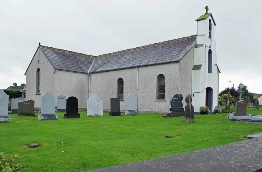
- Top sights: Slievecallan · Inagh Church
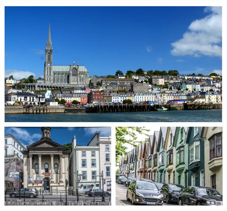
- Nearby: Miltown Malbay (13 km)
Best time to visit & climate
The most pleasant time to visit is Jun–Aug.
| Jan | Feb | Mar | Apr | May | Jun | Jul | Aug | Sep | Oct | Nov | Dec | |
|---|---|---|---|---|---|---|---|---|---|---|---|---|
| Avg °C | 5 | 5 | 6 | 8 | 11 | 14 | 15 | 15 | 13 | 10 | 8 | 6 |
| Rain mm | 118 | 92 | 86 | 73 | 84 | 90 | 100 | 107 | 91 | 108 | 132 | 124 |
📋 Practical info
Geography
Facts
- Slieve Callan is the highest elevation in West Clare at 391 meters.
- The discovery of an Ogham inscription in 1778 brought national fame to the mountain.
- Remains of megalithic wedge tombs can be found on the mountain.
- The geology is dominated by Namurian sandstone and shale.
- One of Ireland's largest wind farm is situated on its slopes.
- On clear days, the Aran Islands and the mountains of Kerry are visible.
Explore nearby
Notable places around
Route planner — Car & Motorhome
Where do you start? We build the route here, with stops and country notes along the way.
© OpenStreetMap contributors · OpenRouteService
Sights in the town Slieve Callan (2)
Sights nearby
Frequently asked questions
Where is Slieve Callan located?
What archaeological feature is there?
How high is Slieve Callan?
What can be seen from the summit?
Are there wind farms there?
Slieve Callan: where is it located?
Slieve Callan: what is there to see?
Slieve Callan: when is the best time to visit?
Slieve Callan: why is it worth visiting?

Nearby cities