Plizio Visual Lab
Diyala River
Weather…
Water temperature…
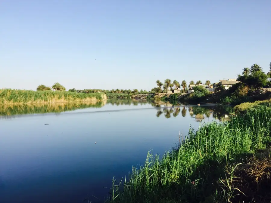
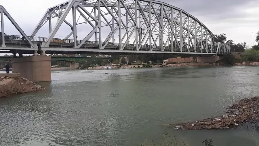
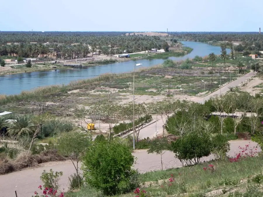
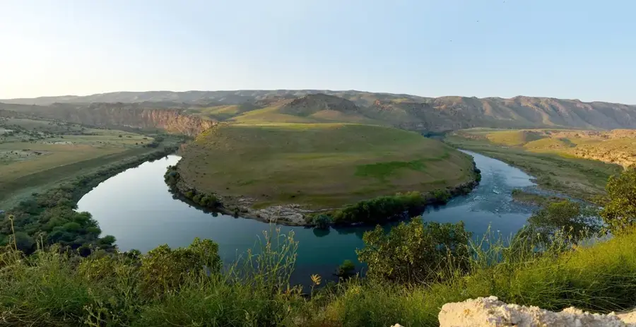
The Diyala River, which travels a trajectory with a total length of about 445 kilometers, is classified as one of the main tributaries on the eastern flank of the Tigris River. The watercourse is formed under the name of Sirwan on the slopes of the Zagros Mountains located in Iran, before penetrating the Iraqi border line and cutting a channel through the mountainous sectors in the Kurdish space. On its route directed southwest, the riverbed demarcates in certain points the physical border line between the states of Iraq and Iran. Its hydrological volume holds a high strategic importance and is under the operational control of the Darbandikhan and Hamrin dams. This hydrotechnical infrastructure attenuates spring floods and guarantees the necessary input for irrigating arable plains.
- Location: Iraq
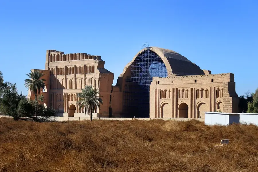
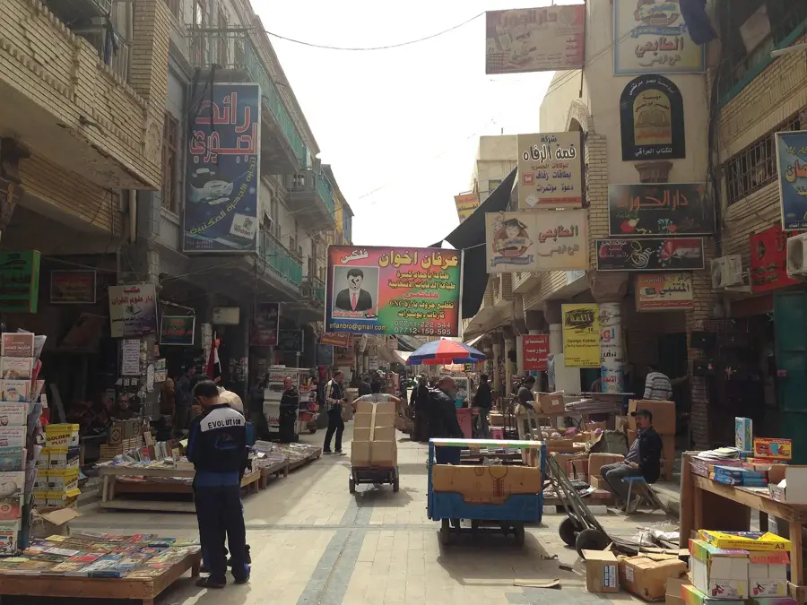
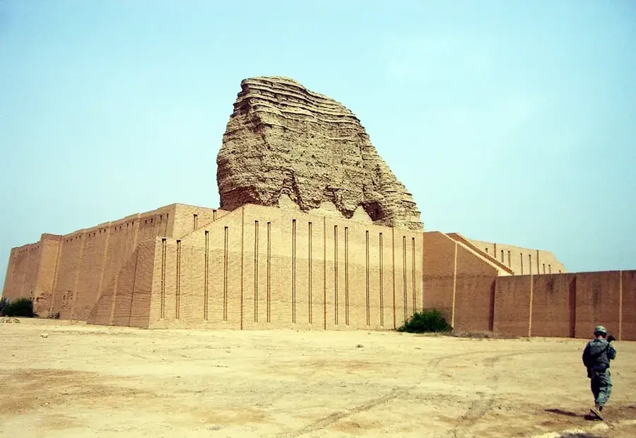
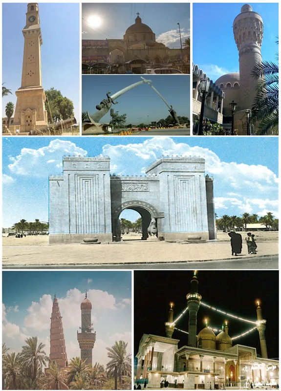
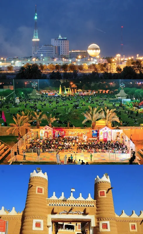
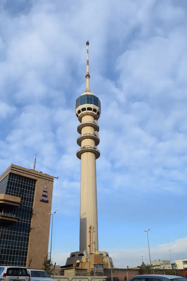
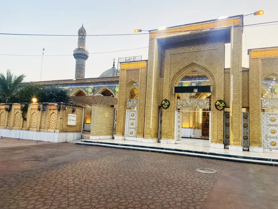
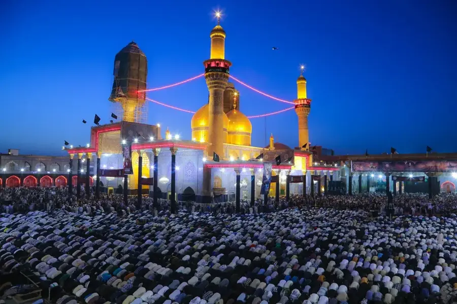
- Top sights: Tall Abu Sud · Al , Buaitha Village · Salman Al-Muhammadi Hussainiya (A)
- Nearby: Abu Ghraib (38 km)
Best time to visit & climate
The most pleasant time to visit is Mar, Apr, Nov.
| Jan | Feb | Mar | Apr | May | Jun | Jul | Aug | Sep | Oct | Nov | Dec | |
|---|---|---|---|---|---|---|---|---|---|---|---|---|
| Avg °C | 9 | 12 | 17 | 23 | 30 | 35 | 38 | 37 | 33 | 27 | 17 | 11 |
| Rain mm | 34 | 30 | 26 | 22 | 7 | 0 | 0 | 0 | 1 | 11 | 26 | 24 |
📋 Practical info
Geography
Facts
- Main watercourse totals about 445 kilometers.
- Originates as the Sirwan river in the Iranian Zagros.
- Riverbed partially delimits the border of Iraq and Iran.
- Water level is managed by the Darbandikhan and Hamrin dams.
- Meets the Tigris River basin exactly south of Baghdad city.
- Key irrigation source for the Iraqi province of Diyala.
Explore nearby
Notable places around
Route planner — Car & Motorhome
Where do you start? We build the route here, with stops and country notes along the way.
© OpenStreetMap contributors · OpenRouteService
Sights in the town Diyala River (5)
Sights nearby
Frequently asked questions
Where does the Diyala River originate?
Where does the river end?
Is the valley agriculturally important?
Can you go boating on the river?
Are there dams on the Diyala?
Diyala River: where is it located?
Diyala River: what is there to see?
Diyala River: when is the best time to visit?
Diyala River: why is it worth visiting?

Nearby cities


History & landmarks
Nature
More places