Plizio Visual Lab
Tengger Caldera Desert

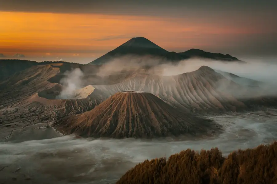
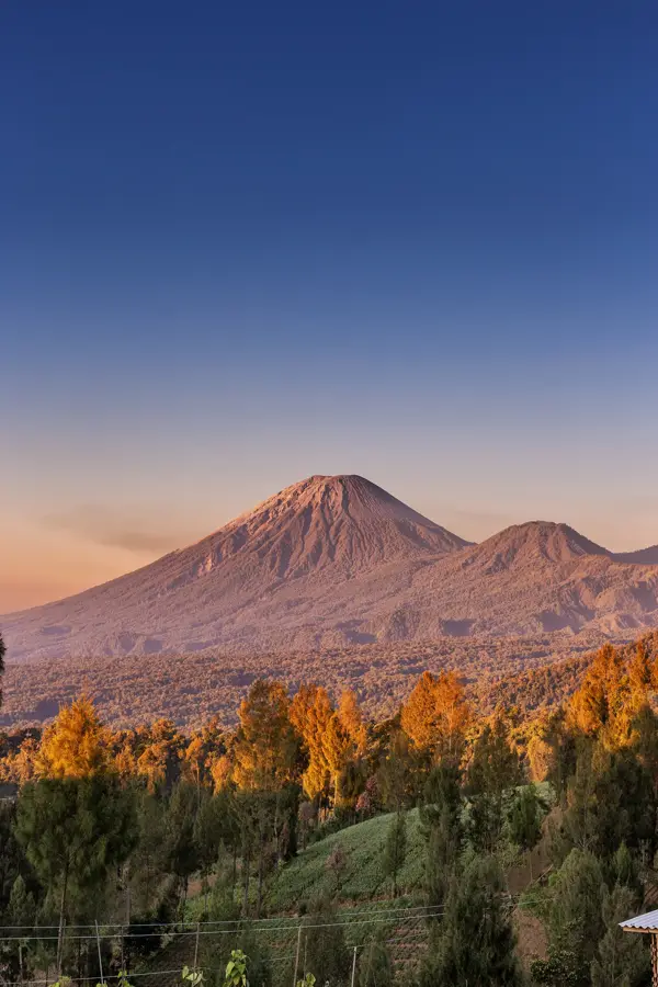
The Tengger Caldera in East Java is one of the most panoramic volcanic landscapes in the world and a centerpiece of the Bromo Tengger Semeru National Park. Spanning approximately 10 kilometers in diameter, this massive caldera contains the famous 'Sea of Sand' (Segara Wedi), a vast, desolate desert of grey volcanic ash and fine sand. Rising from this flat, lunar-like plain are several volcanic cones, most notably the highly active Mount Bromo and the perfectly shaped Mount Batok. The relief is characterized by the sheer walls of the caldera rim, which rise up to 300 meters, encircling the desert basin. This surreal environment was created by the catastrophic collapse of the ancient, much larger Tengger volcano during prehistoric eruptions. Beyond its geological wonder, the region is culturally vital; the Tengger people, who practice a unique form of Hinduism, regard the caldera as sacred. They perform the annual Yadnya Kasada festival, during which they cast offerings of crops and livestock into the smoking crater of Mount Bromo. The altitude ensures a climate much cooler than the tropical lowlands of Java, and early morning mists often blanket the Sea of Sand, creating an ethereal and mystical atmosphere that attracts photographers and travelers from around the globe.
- Location: Indonesia
- Top sights: Sunrise Point 1 · Nice panorama · Sunrise viewpoint
- Nearby: Bromo Tengger Semeru (4 km)
Best time to visit & climate
The most pleasant time to visit is Jul–Sep.
| Jan | Feb | Mar | Apr | May | Jun | Jul | Aug | Sep | Oct | Nov | Dec | |
|---|---|---|---|---|---|---|---|---|---|---|---|---|
| Avg °C | 25 | 25 | 25 | 25 | 25 | 24 | 24 | 24 | 26 | 27 | 27 | 26 |
| Rain mm | 308 | 299 | 268 | 182 | 119 | 69 | 36 | 14 | 17 | 57 | 131 | 256 |
📋 Practical info
Geography
Facts
- The caldera measures approximately 10 kilometers across.
- The 'Sea of Sand' (Segara Wedi) sits at an altitude of 2,100 meters.
- Mount Bromo is the most active peak within the caldera at 2,329 meters.
- Part of the Bromo Tengger Semeru National Park, a UNESCO Biosphere Reserve.
- The Yadnya Kasada festival has been observed for over 500 years.
- The rim of the caldera represents the collapsed flanks of the prehistoric Tengger volcano.
- The area is famous for the 'cold lava' (lahar) flows that occur during heavy rains.
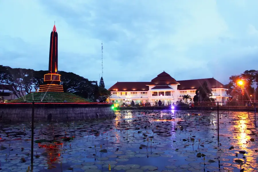
Explore nearby
Notable places around
Route planner — Car & Motorhome
Where do you start? We build the route here, with stops and country notes along the way.
© OpenStreetMap contributors · OpenRouteService
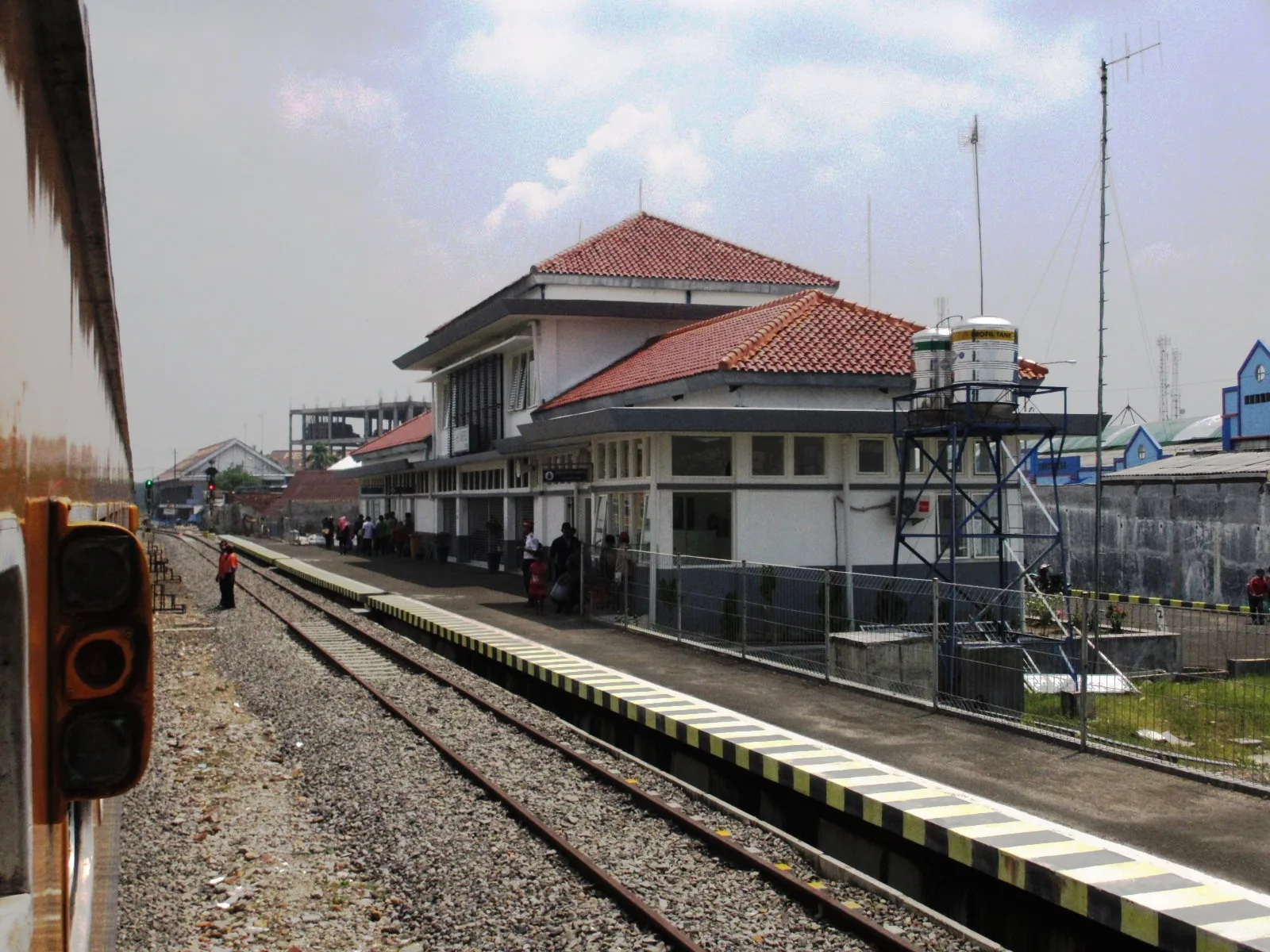
Sights in the town Tengger Caldera Desert (8)
Sights nearby
Frequently asked questions
What is the Tengger Caldera?
Can you drive a car in the sand desert?
Is horseback riding available there?
What time should I be there for sunrise?
What is the Kasada festival?
Tengger Caldera Desert: where is it located?
Tengger Caldera Desert: what is there to see?
Tengger Caldera Desert: when is the best time to visit?
Tengger Caldera Desert: why is it worth visiting?

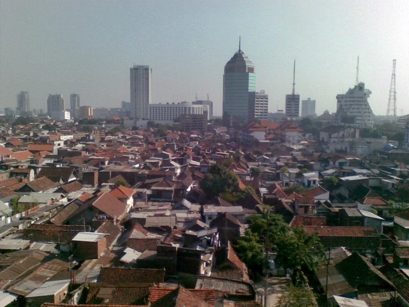
Nearby cities

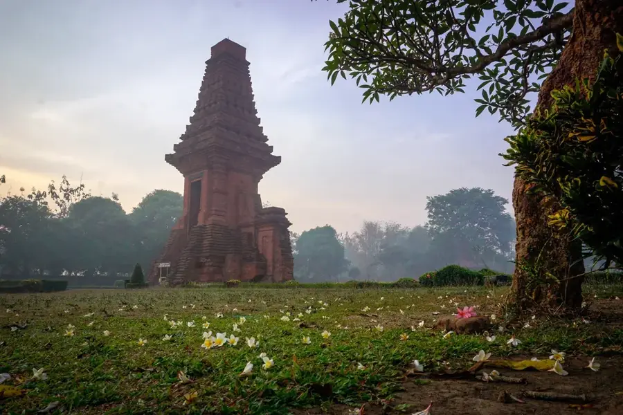
History & landmarks
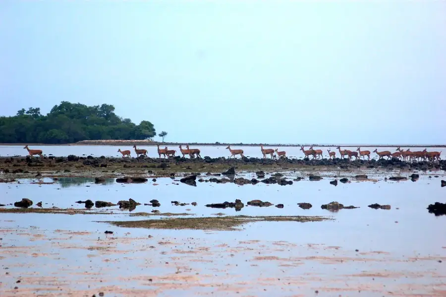
Nature
More places