Plizio Visual Lab
Grímsey
Weather…
Water temperature…
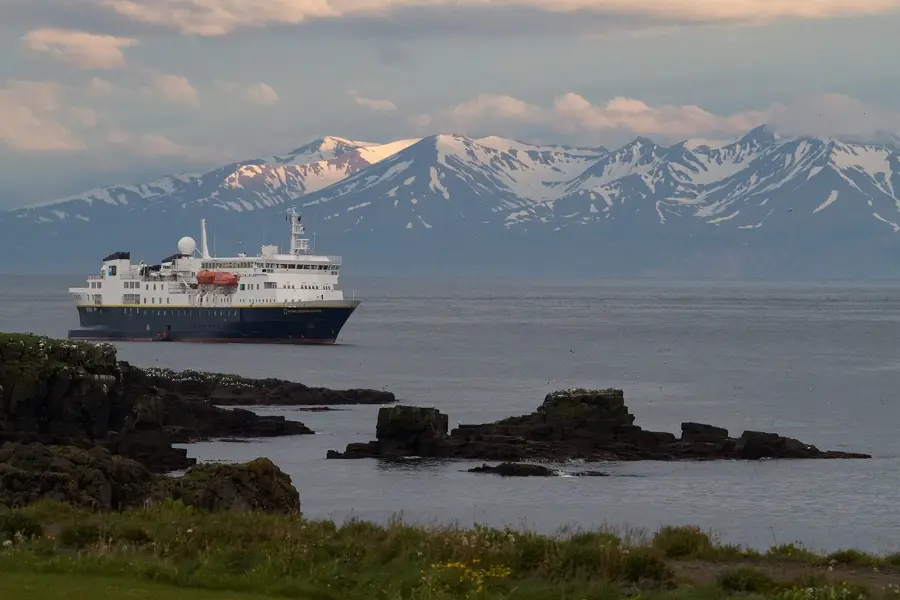
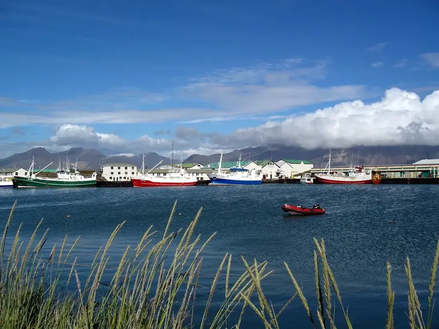
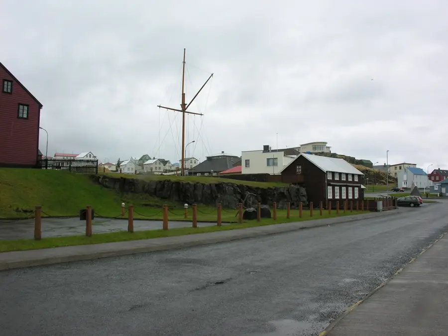
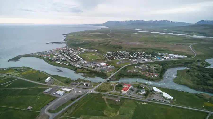
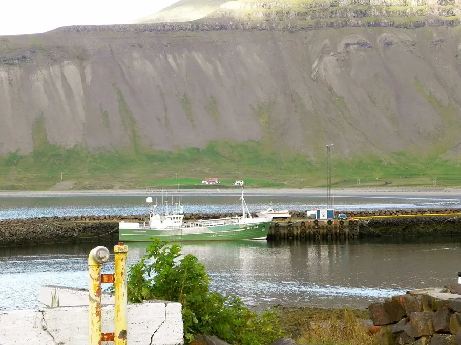
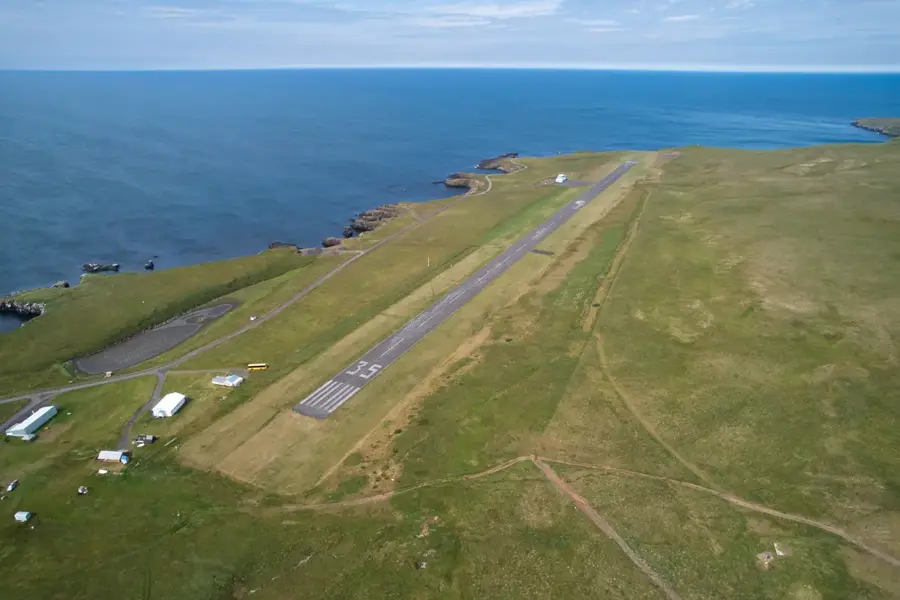
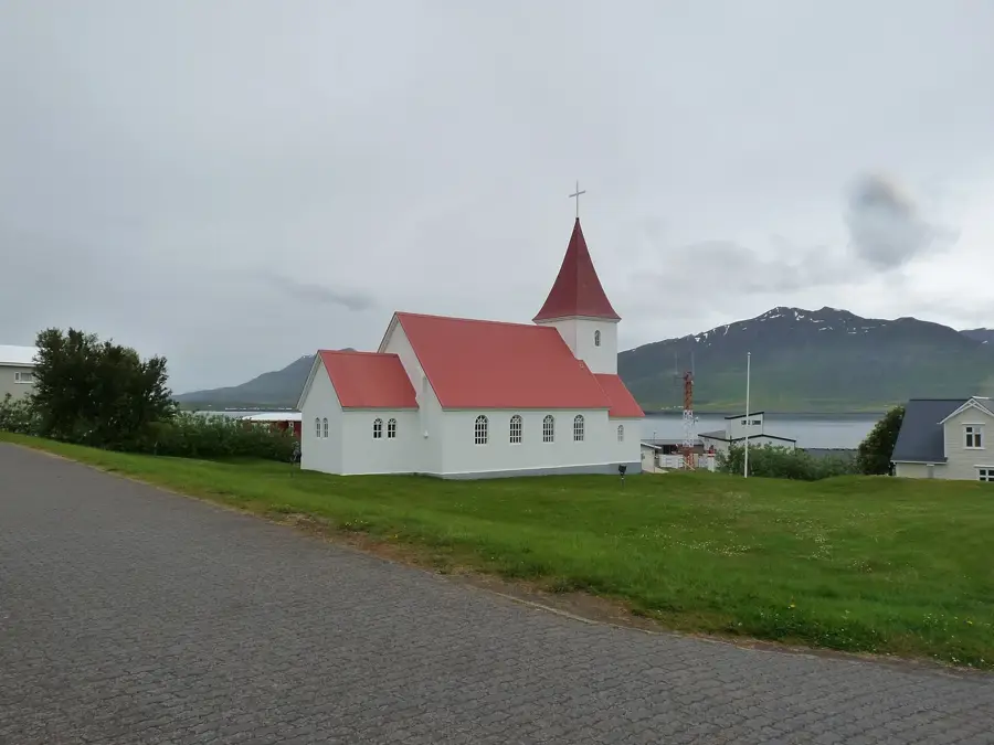
Grímsey is the northernmost inhabited island of Iceland, situated about 40 kilometers off the north coast in the Arctic Ocean. The island covers 5.3 square kilometers and is famous for being the only part of Iceland intersected by the Arctic Circle, although the circle's precise position shifts slightly each year due to axial tilt. The landscape features rolling green slopes on the west and sheer basalt cliffs on the east, rising up to 105 meters from the sea. The local economy is centered almost entirely on fishing, sustained by the rich Arctic waters surrounding the island. For wildlife enthusiasts, Grímsey is a prime location for birdwatching, as it hosts massive colonies of seabirds, including Atlantic puffins and razorbills. Despite its remote location, the island maintains a small village with a church, a guesthouse, and an airstrip connecting it to Akureyri.
- Location: Iceland
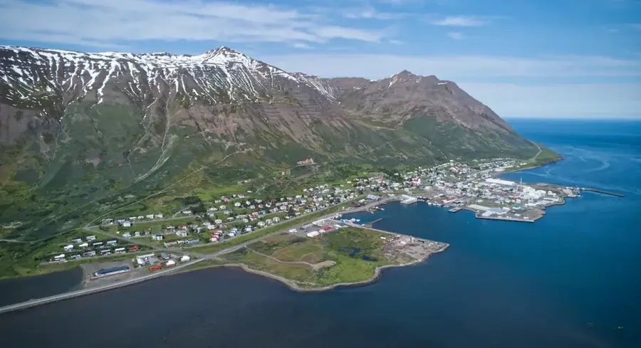
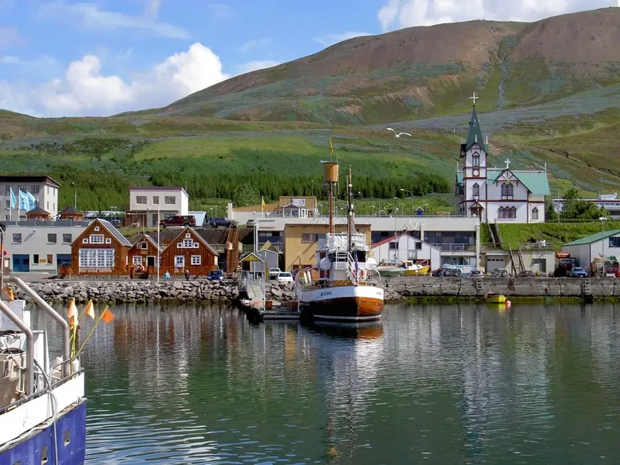
- Nearby: Siglufjörður (60 km)
Best time to visit & climate
The most pleasant time to visit is Jun–Aug.
| Jan | Feb | Mar | Apr | May | Jun | Jul | Aug | Sep | Oct | Nov | Dec | |
|---|---|---|---|---|---|---|---|---|---|---|---|---|
| Avg °C | 1 | 1 | 1 | 2 | 4 | 7 | 9 | 9 | 7 | 5 | 3 | 2 |
| Rain mm | 108 | 91 | 97 | 77 | 63 | 43 | 63 | 75 | 106 | 124 | 118 | 126 |
📋 Practical info
Geography
Facts
- The Arctic Circle passes directly through the island
- Total area of approximately 5.3 km²
- Highest point on the cliffs is 105 meters
- Located 40 km from mainland Iceland
- Cod fishing is the primary industry
- Home to around 60 permanent residents
Explore nearby
Notable places around
Route planner — Car & Motorhome
Where do you start? We build the route here, with stops and country notes along the way.
© OpenStreetMap contributors · OpenRouteService
Sights in the town Grímsey (1)
Sights nearby
Frequently asked questions
Do you cross the Arctic Circle on Grímsey?
How do you get to the island?
Are there puffins there?
Do people live on Grímsey?
Is there accommodation on the island?
Grímsey: where is it located?
Grímsey: when is the best time to visit?
Grímsey: why is it worth visiting?

Nearby cities


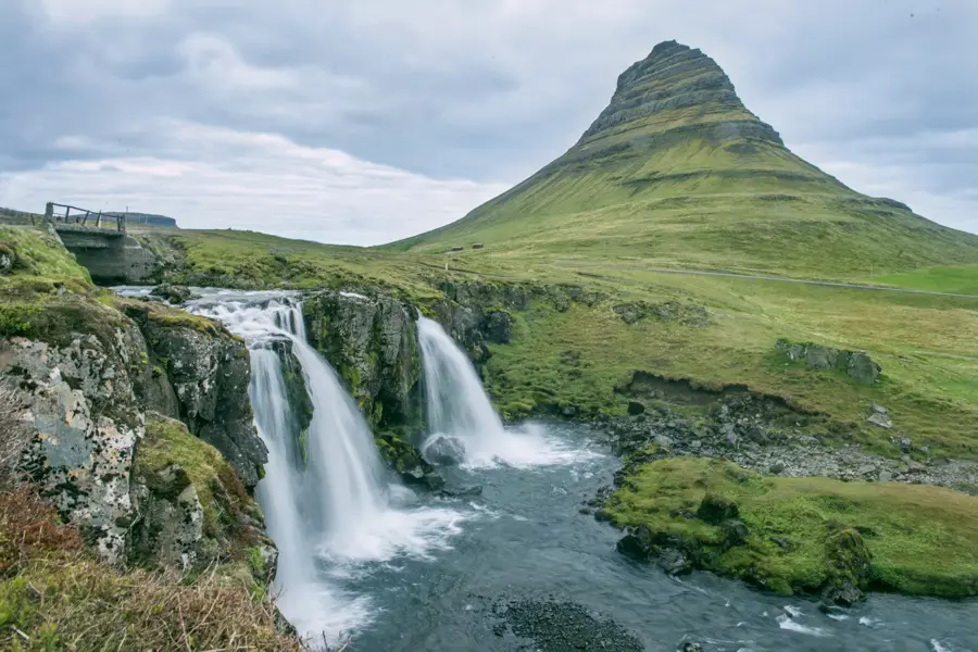
Nature
More places