Plizio Visual Lab
Kai Kung Leng
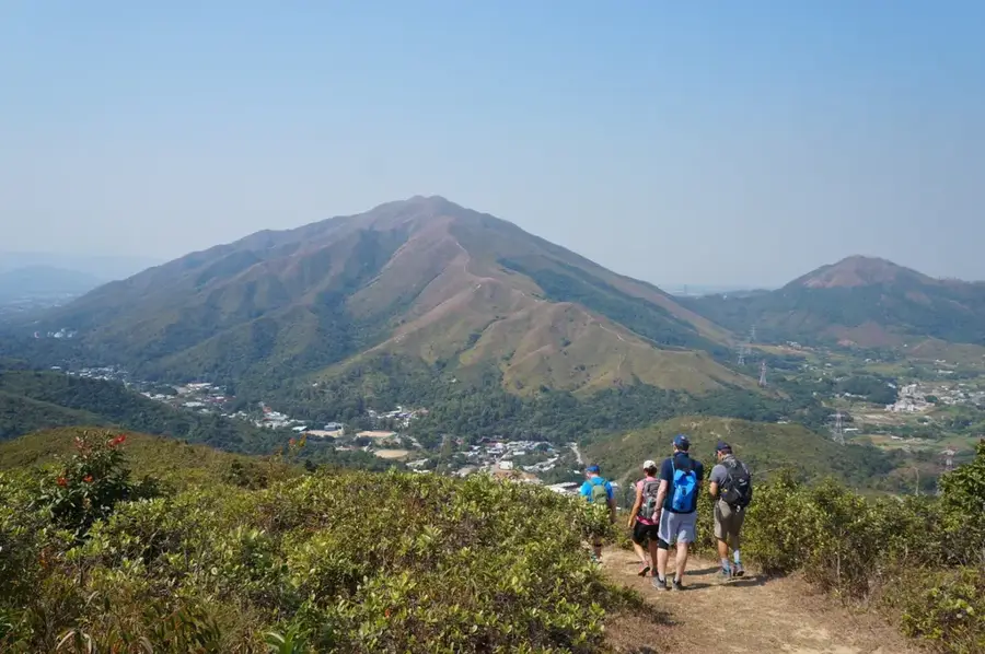
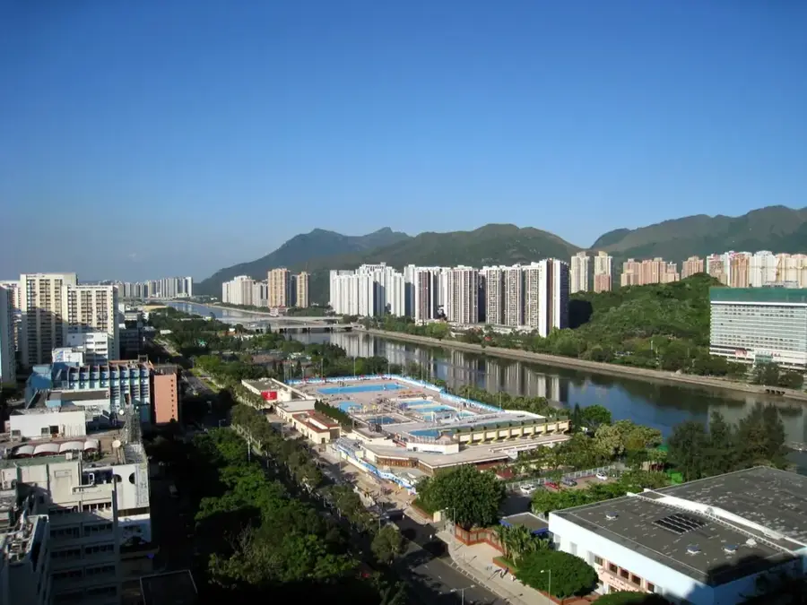
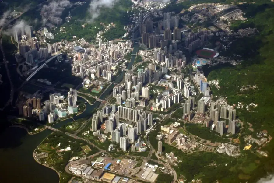
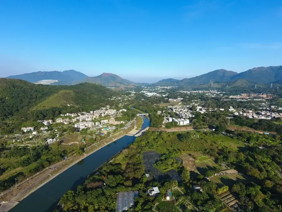
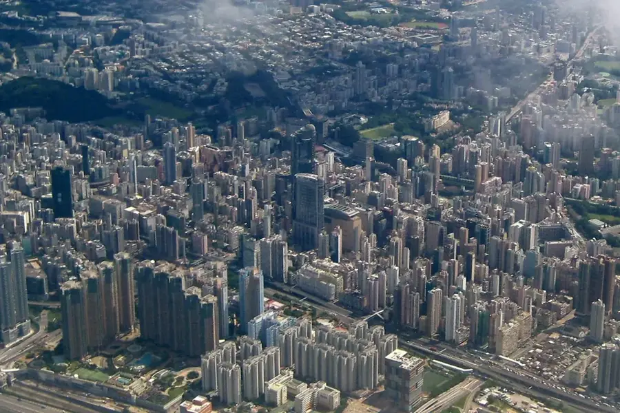
Kai Kung Leng, which translates to 'Rooster Ridge Mountain,' is a prominent mountain range within the Lam Tsuen Country Park in the northern New Territories. Reaching an elevation of 585 meters, it features one of the most exhilarating ridge-walking experiences in Hong Kong. Unlike many of the region's densely forested peaks, Kai Kung Leng is covered primarily in rolling grasslands, giving it a distinctive highland feel. This lack of shade makes the ascent particularly challenging during the humid summer months, as hikers are fully exposed to the elements. However, the reward is an unobstructed 360-degree panorama: to the north, the sprawling skyline of Shenzhen and the Mai Po marshes are clearly visible across the border, while the Yuen Long valley stretches out to the south. The mountain is famous for its steep, rugged paths that demand good stamina and sure-footedness. It is a favored destination for landscape photographers, especially during the golden hour when the light accentuates the undulating green ridges, offering a sense of vastness and tranquility that contrasts sharply with the nearby urban centers.
- Location: Hong Kong SAR China
- Top sights: Ngau Tam Shan · Christian Ebenezer Hall · Lung Tam Kwun Yam Temple
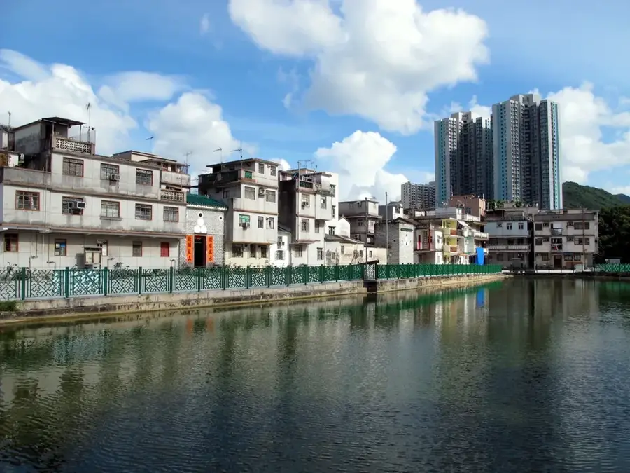
- Nearby: Fanling Wai (5 km)
Best time to visit & climate
The most pleasant time to visit is Mar, Nov, Dec.
| Jan | Feb | Mar | Apr | May | Jun | Jul | Aug | Sep | Oct | Nov | Dec | |
|---|---|---|---|---|---|---|---|---|---|---|---|---|
| Avg °C | 16 | 18 | 20 | 23 | 26 | 28 | 29 | 29 | 28 | 25 | 22 | 17 |
| Rain mm | 35 | 29 | 69 | 109 | 231 | 288 | 197 | 234 | 173 | 56 | 29 | 21 |
📋 Practical info
Geography
Facts
- The highest peak reaches 585 metres in elevation
- Commonly referred to as 'Rooster Ridge' in English
- Situated in the northern part of Lam Tsuen Country Park
- Composed almost entirely of volcanic rock formations
- Provides 360-degree views of Yuen Long and Shenzhen
- The slopes are largely treeless and covered in grass
Explore nearby
Notable places around
Route planner — Car & Motorhome
Where do you start? We build the route here, with stops and country notes along the way.
© OpenStreetMap contributors · OpenRouteService
Sights in the town Kai Kung Leng (4)
Sights nearby
Frequently asked questions
Is there any shade on Kai Kung Leng?
What is special about the view?
What is the trail surface like?
Can you go mountain biking there?
How to get to the starting point?
Kai Kung Leng: where is it located?
Kai Kung Leng: what is there to see?
Kai Kung Leng: when is the best time to visit?
Kai Kung Leng: why is it worth visiting?

Nearby cities