Plizio Visual Lab
Tai Mo Shan
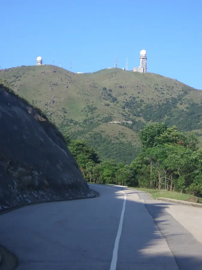
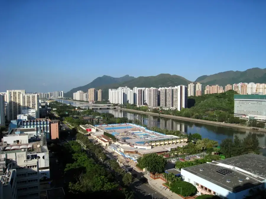
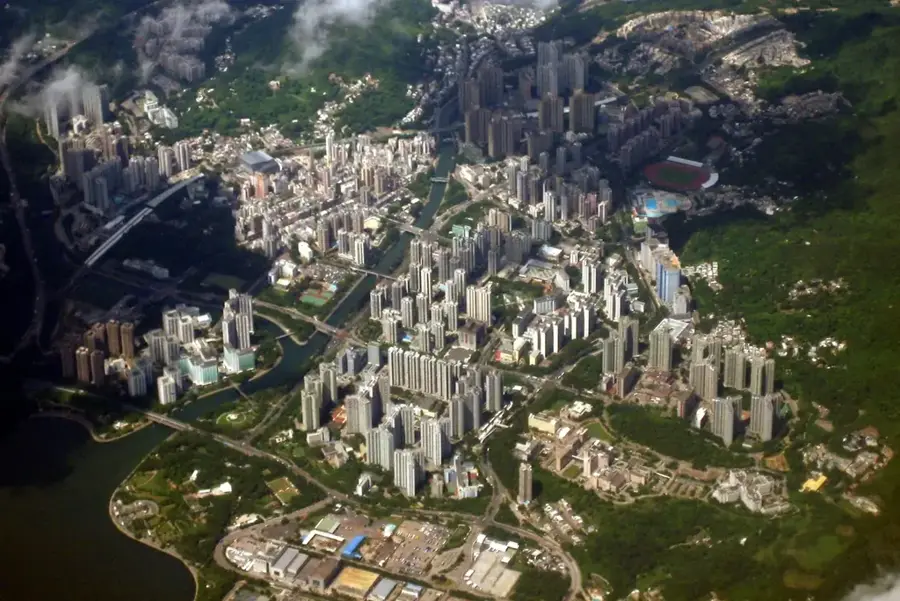
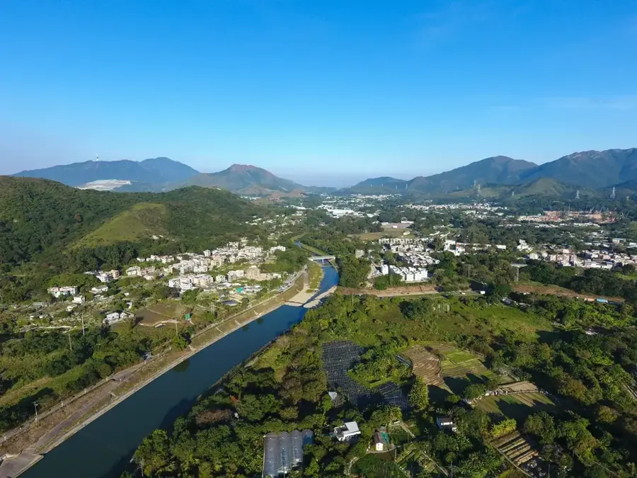
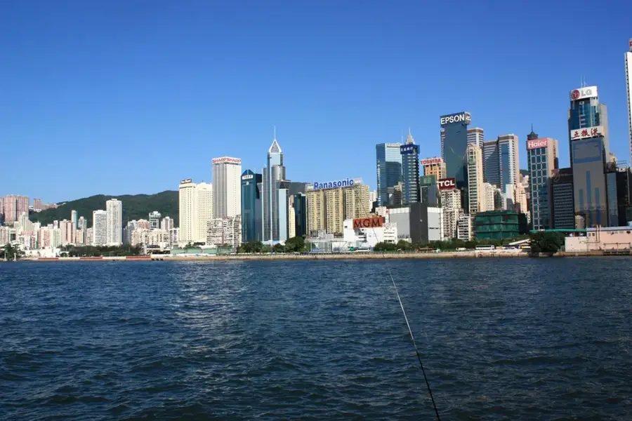
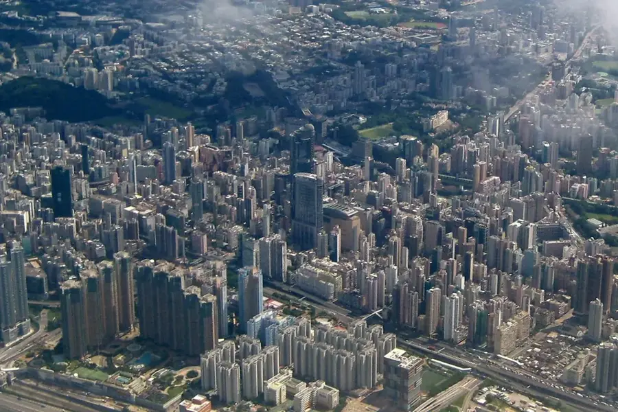
Standing at 957 meters, Tai Mo Shan is the highest peak in Hong Kong, centrally located within the New Territories. As an extinct volcano that was active over 140 million years ago, its geological history is visible in the weathered granite boulders scattered across its grassy slopes. The mountain is famous for its unique microclimate, frequently shrouded in thick mist and experiencing temperatures significantly lower than the urban areas below. During winter, it is one of the few places in Hong Kong where sub-zero temperatures and frost are recorded. The MacLehose Trail provides hikers with access to its upper reaches, offering panoramic views of the entire territory, from Victoria Harbour to the skyscrapers of Shenzhen, on clear days. The lower slopes are home to the Ng Tung Chai waterfalls and remnants of historical tea terraces.
- Location: Hong Kong SAR China
- Top sights: Sze Fong Shan · Rotary Park Nature Trail Viewing Point · Rotary Club Garden Viewing Point
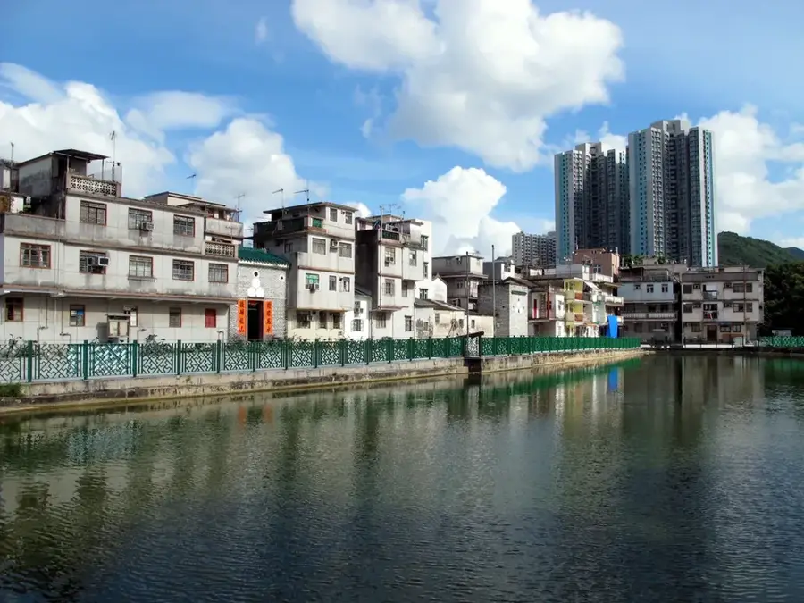
- Nearby: Sheung Shui (4 km)
Best time to visit & climate
The most pleasant time to visit is Mar, Nov, Dec.
| Jan | Feb | Mar | Apr | May | Jun | Jul | Aug | Sep | Oct | Nov | Dec | |
|---|---|---|---|---|---|---|---|---|---|---|---|---|
| Avg °C | 16 | 18 | 20 | 23 | 26 | 28 | 29 | 29 | 28 | 25 | 22 | 17 |
| Rain mm | 35 | 29 | 69 | 109 | 231 | 288 | 197 | 234 | 173 | 56 | 29 | 21 |
📋 Practical info
Geography
Facts
- Height: 957 m (3,140 ft)
- Rank: Highest mountain in Hong Kong
- Part of Tai Mo Shan Country Park (est. 1979)
- Average summit temperature: 15 °C (59 °F)
- Annual rainfall: over 2,500 mm (98 in)
- Butterfly species: over 100
Explore nearby
Notable places around
Route planner — Car & Motorhome
Where do you start? We build the route here, with stops and country notes along the way.
© OpenStreetMap contributors · OpenRouteService
Sights in the town Tai Mo Shan (4)
Sights nearby
Frequently asked questions
What is the highest mountain in Hong Kong?
Can you hike all the way to the peak?
How do you get there?
Is it colder there than in the city?
Are there waterfalls nearby?
Tai Mo Shan: where is it located?
Tai Mo Shan: what is there to see?
Tai Mo Shan: when is the best time to visit?
Tai Mo Shan: why is it worth visiting?

Nearby cities