Plizio Visual Lab
Tai To Yan
Weather…
Water temperature…
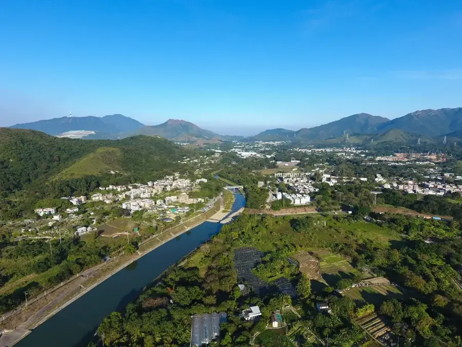
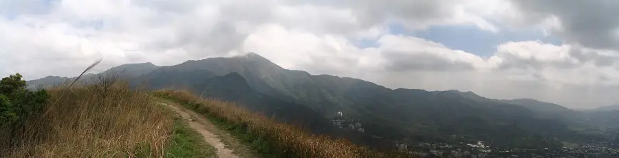
Tai To Yan is a prominent 566-meter mountain situated in the northern New Territories of Hong Kong. Its name, which means 'Great Knife Blade' in Cantonese, aptly describes its razor-sharp ridge and steep, narrow precipices that dominate the landscape. Composed of volcanic porphyry rock, the mountain features a rugged terrain that challenges even experienced hikers. The trail along the ridge, known as the 'Razor's Edge,' gives panoramic 360-degree views of the surrounding area, including the fertile Lam Tsuen Valley, the urban skylines of Fanling and Sheung Shui, and the border mountains of Shenzhen in mainland China. As part of the Lam Tsuen Country Park, Tai To Yan is a vital ecological zone, hosting specialized flora adapted to high winds and rocky soil. The hike is especially popular during the dry autumn months when visibility is at its peak, allowing trekkers to see as far as Victoria Peak on a clear day while experiencing the dramatic exposure of the knife-like ridge.
- Location: Hong Kong SAR China
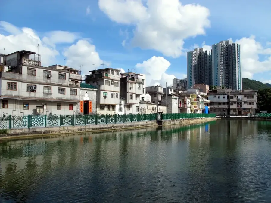
- Nearby: Lung Yeuk Tau (4 km)
Best time to visit & climate
The most pleasant time to visit is Mar, Nov, Dec.
| Jan | Feb | Mar | Apr | May | Jun | Jul | Aug | Sep | Oct | Nov | Dec | |
|---|---|---|---|---|---|---|---|---|---|---|---|---|
| Avg °C | 16 | 18 | 20 | 23 | 26 | 28 | 29 | 29 | 28 | 25 | 22 | 17 |
| Rain mm | 35 | 29 | 69 | 109 | 231 | 288 | 197 | 234 | 173 | 56 | 29 | 21 |
📋 Practical info
Geography
Facts
- The peak reaches an elevation of 566 metres
- Name translates to 'Great Sword Blade' in Cantonese
- Formed primarily from volcanic rock structures
- Located within the Lam Tsuen Country Park
- The ridge trail is exceptionally narrow in sections
- Offers clear views towards the mainland China border
Explore nearby
Notable places around
Route planner — Car & Motorhome
Where do you start? We build the route here, with stops and country notes along the way.
© OpenStreetMap contributors · OpenRouteService
Sights in the town Tai To Yan (1)
Sights nearby
Frequently asked questions
Why is the mountain called Tai To Yan?
Where does the hike start?
Is the trail dangerous?
How long does the crossing take?
Is there drinking water on the trail?
Tai To Yan: where is it located?
Tai To Yan: when is the best time to visit?
Tai To Yan: why is it worth visiting?

Nearby cities