Plizio Visual Lab
Bagotville
ℹ️Practical info — Bagotville
▾
🌤 Weather — 5 days
📍 Nearby
Sights nearby
💡 Tips
- Travel on Route 31 minibuses, but keep small change handy as large bills are hard to break.
- Respect the relaxed rhythm of the community; things move a bit slower here.
- Rain gear is always useful as tropical showers can appear suddenly.
- Buy snacks from street vendors to directly support the local economy.
🍽 Food
A traditional breakfast often found at small food stands in the morning.
A hearty local dish typically served on weekends at small restaurants.
Buy a fresh coconut from roadside vendors, opened right in front of you.
🛍 Shopping · 🧘 Quiet spots
Here you will find the freshest local bananas and citrus fruits.
Look for local Guyanese snacks in the small neighborhood shops.
A quiet spot to take a walk or watch local activity away from the main road.
Walk along the irrigation canals where you can spot numerous tropical birds.
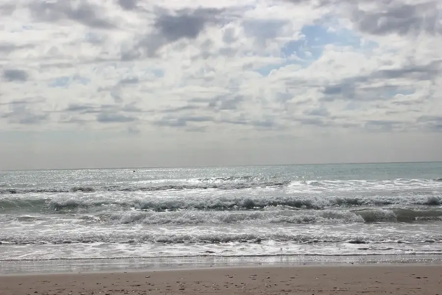
Water temperature…
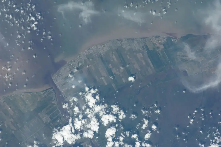
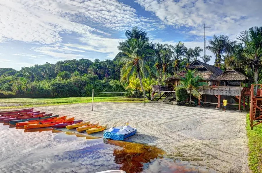
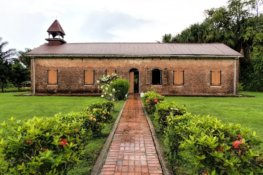
Bagotville is a historical settlement located on the West Bank of the Demerara River in Guyana, within the Essequibo Islands-West Demerara region. The village was established during the post-emancipation era of the 19th century, when formerly enslaved people pooled their resources to purchase land and form independent proprietary villages. Geographically, Bagotville is situated approximately eight kilometers south of Vreed-en-Hoop and shares a border with the community of Nismes. The village's development was significantly influenced by its proximity to Canal No. 1, which served as a vital artery for drainage and the transportation of agricultural goods. Today, Bagotville functions primarily as a residential community, with many inhabitants employed in the nearby urban areas or engaged in small-scale farming. The village maintains a bustling cultural identity, rooted in its history of self-determination and reflected in its local schools and religious centers. Its strategic location along the riverbank continues to integrate Bagotville into the broader economic landscape of the West Demerara coastal plain.
- Location: Guyana
- Nearby: Ruimveldt (9 km)
Best time to visit & climate
The most pleasant time to visit is Feb, Mar, Sep.
| Jan | Feb | Mar | Apr | May | Jun | Jul | Aug | Sep | Oct | Nov | Dec | |
|---|---|---|---|---|---|---|---|---|---|---|---|---|
| Avg °C | 26 | 26 | 27 | 27 | 27 | 27 | 27 | 27 | 28 | 28 | 28 | 27 |
| Rain mm | 181 | 117 | 94 | 144 | 315 | 314 | 302 | 193 | 102 | 103 | 181 | 257 |
Geography
Facts
- Founded in the 19th century by formerly enslaved people
- Located in Region 3 (Essequibo Islands-West Demerara)
- Situated on the West Bank of the Demerara River
- Borders the settlements of Nismes and La Grange
- Key location near the Canal No. 1 drainage system
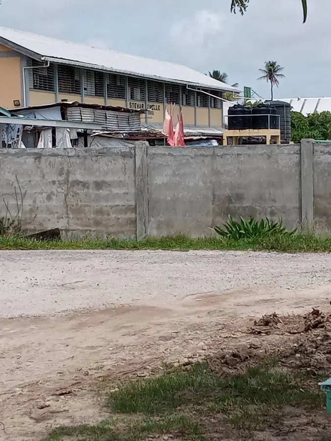
- Home to the Bagotville Government Primary School
Explore nearby
Notable places around
Route planner — Car & Motorhome
Where do you start? We build the route here, with stops and country notes along the way.
© OpenStreetMap contributors · OpenRouteService
Sights in the town Bagotville (1)
Frequently asked questions
How old is Bagotville?
What is culturally important in Bagotville?
Where is Bagotville located?
What sights are there?
Is the place well-connected?
Bagotville: where is it located?
Bagotville: when is the best time to visit?
Bagotville: why is it worth visiting?

Nearby cities


History & landmarks
More places