Plizio Visual Lab
Demerara Coastal Plain

Weather…
Water temperature…
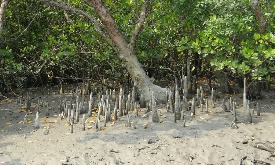
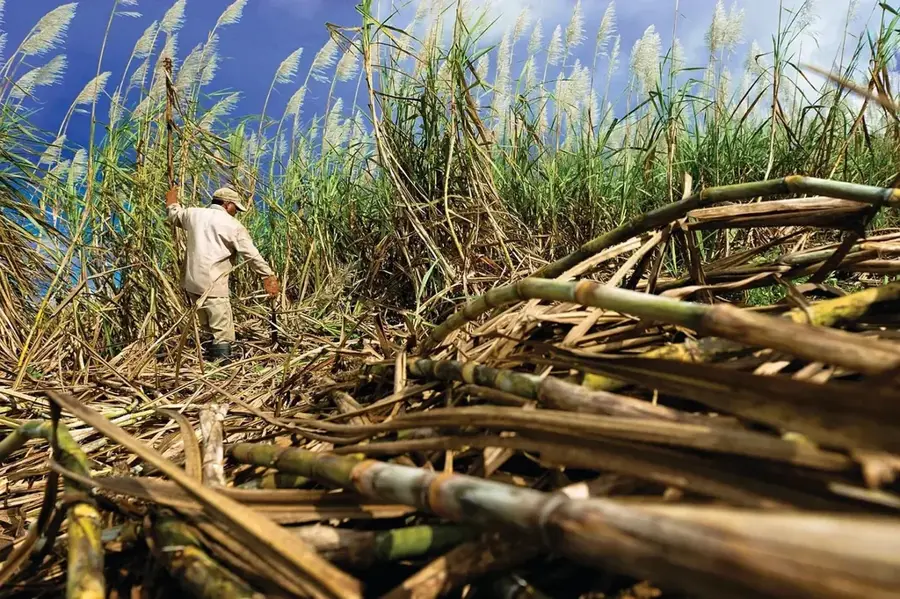
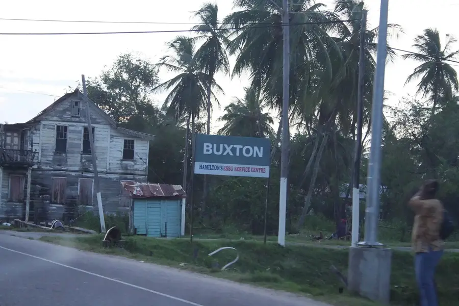
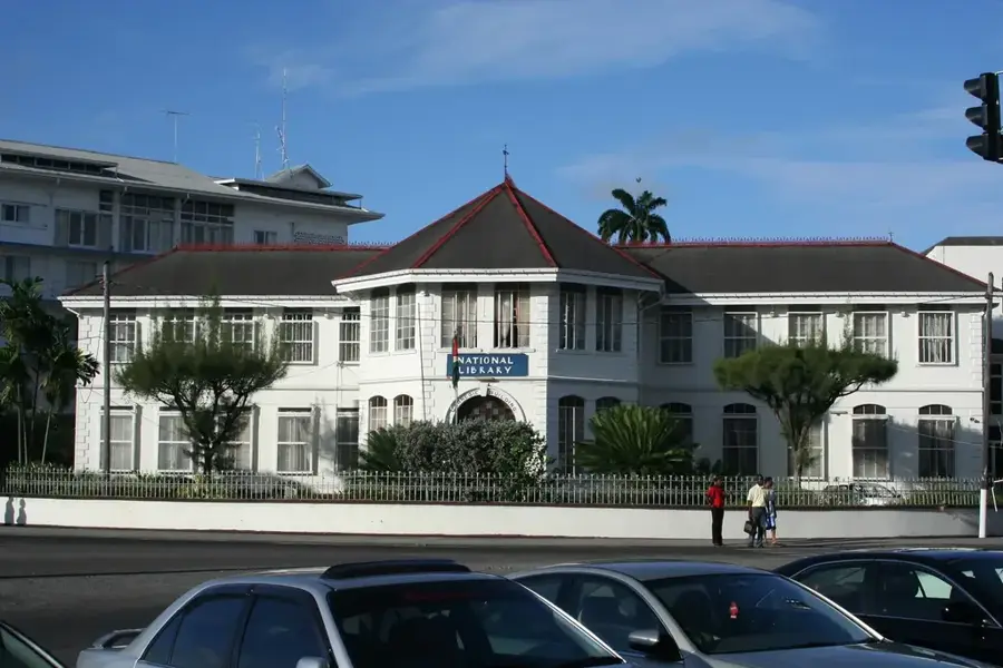
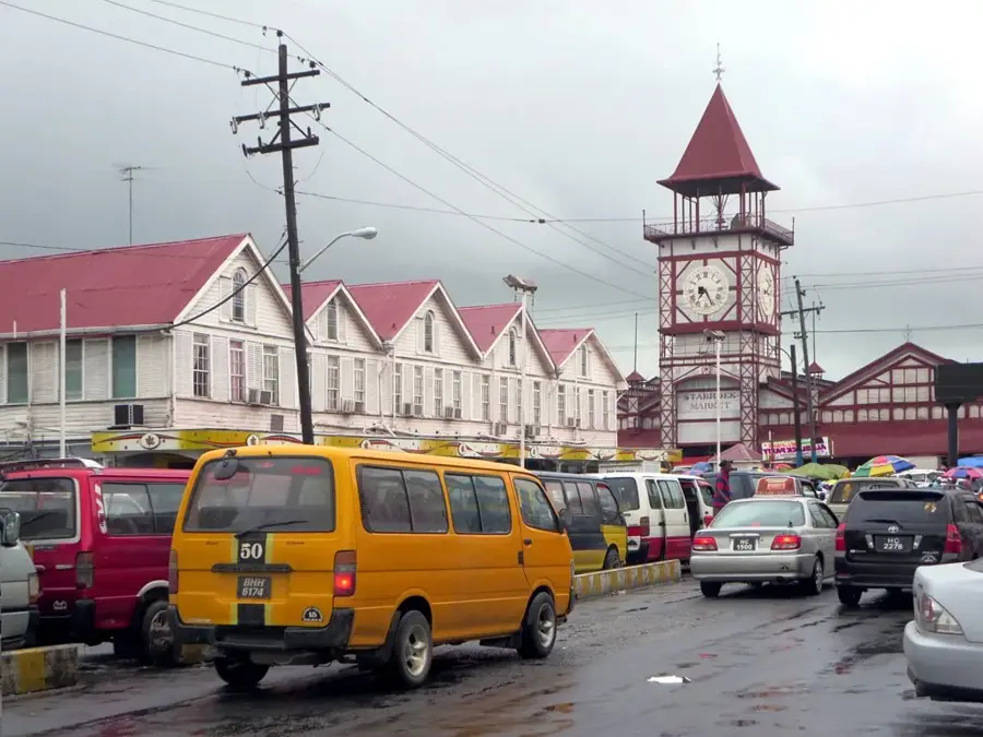
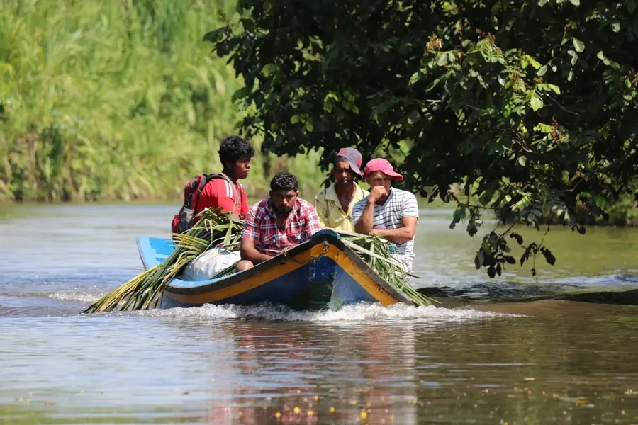
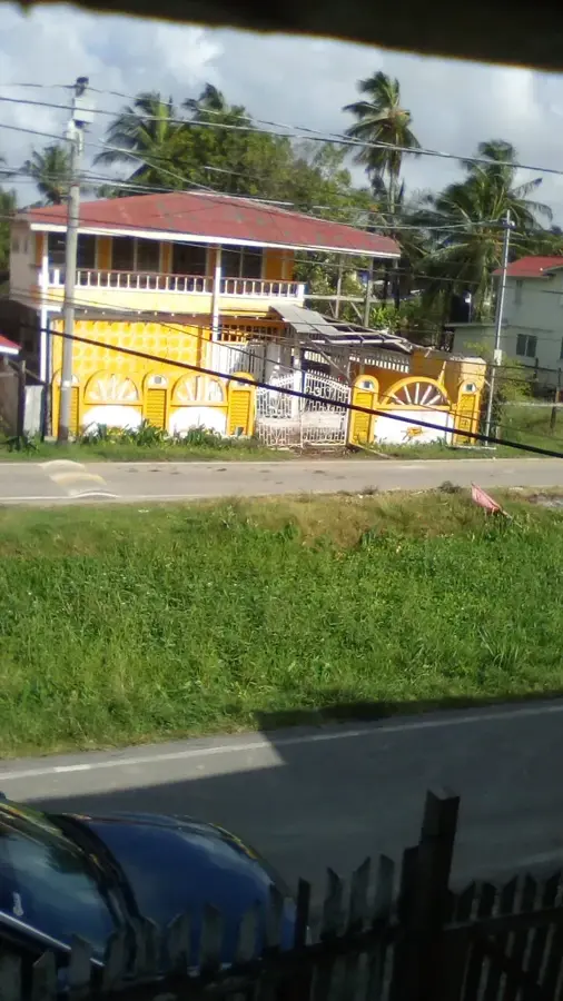
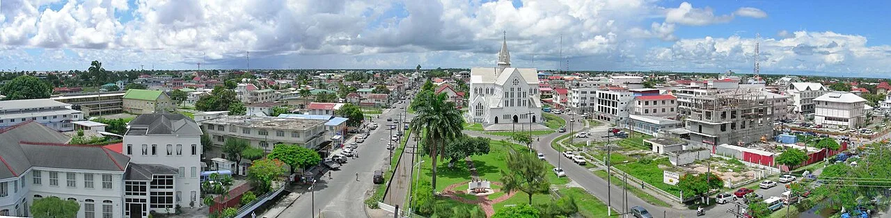
The Demerara Coastal Plain is the most economically significant and densely populated part of Guyana. This narrow region extends along the Atlantic Ocean and lies partially below sea level during high tide, which necessitated the construction of a complex system of sea walls and canals. Historically, the land was reclaimed in the 18th and 19th centuries by Dutch and British settlers through poldering for sugar cane cultivation. Today, the plain is the center of Guyanese agriculture, where sugar cane and especially rice are cultivated on a large scale. The fertile alluvial soils provide good conditions for farming but require constant water management for drainage. The capital city, Georgetown, is located in this region, along with the majority of the country's industrial infrastructure. However, the coastal plain is highly vulnerable to rising sea levels and extreme weather events, necessitating continuous investment in coastal protection. Despite these climatic challenges, it remains the lively heart of the nation.
- Location: Guyana
- Nearby: Mahaica Village (13 km)
Best time to visit & climate
The most pleasant time to visit is Mar, Sep, Oct.
| Jan | Feb | Mar | Apr | May | Jun | Jul | Aug | Sep | Oct | Nov | Dec | |
|---|---|---|---|---|---|---|---|---|---|---|---|---|
| Avg °C | 26 | 26 | 27 | 27 | 26 | 26 | 26 | 27 | 27 | 28 | 27 | 26 |
| Rain mm | 165 | 117 | 98 | 142 | 295 | 265 | 261 | 173 | 88 | 87 | 145 | 217 |
📋 Practical info
Geography
Facts
- The plain lies partially 0.5 to 1.5 meters below sea level.
- The Georgetown Sea Wall was originally started by the Dutch.
- Approximately 90% of Guyana's population lives in this coastal region.
- The fertile coastal soils consist of heavy clay and silt.
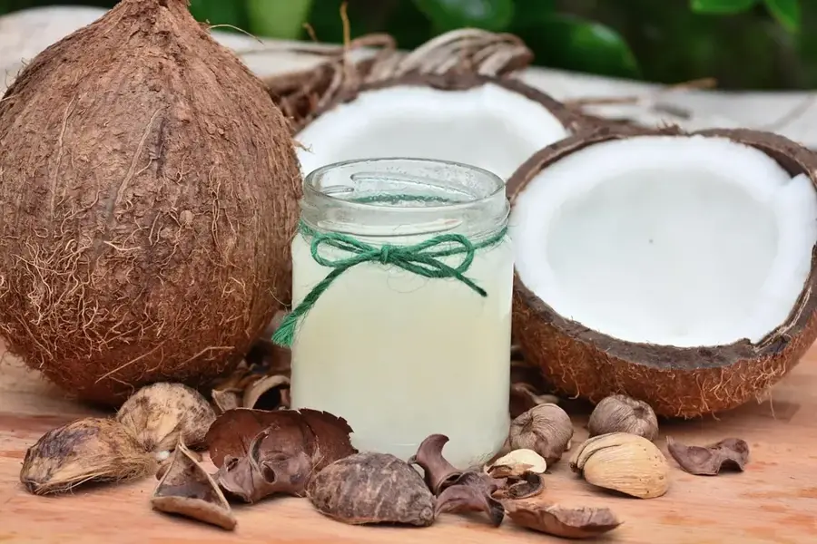
- Sugar cane plantations have defined the landscape for over 200 years.
- A sophisticated sluice system (kokers) regulates water drainage at low tide.
Explore nearby
Notable places around
Route planner — Car & Motorhome
Where do you start? We build the route here, with stops and country notes along the way.
© OpenStreetMap contributors · OpenRouteService
Sights nearby
Frequently asked questions
What is the Demerara Coastal Plain?
Is the plain below sea level?
What is grown there?
Can you swim at the coast?
What is the transport like in this region?
Demerara Coastal Plain: where is it located?
Demerara Coastal Plain: when is the best time to visit?
Demerara Coastal Plain: why is it worth visiting?

Nearby cities
History & landmarks
More places