Plizio Visual Lab
Paradise
ℹ️Practical info — Paradise
▾
🌤 Weather — 5 days
📍 Nearby
Sights nearby
💡 Tips
- Transport by minibus from Georgetown is frequent; look for the Route 44 buses.
- Keep an umbrella handy, as tropical showers can pass through quickly.
- Support the local economy by buying from small roadside stands.
- Engage with locals to find out about impromptu weekend cricket matches.
🍽 Food
A delicious snack available at small food stalls in the afternoon.
A traditional meat stew, usually pre-ordered or found at local restaurants on special days.
Try this local bitter-sweet bark drink from a street vendor.
🛍 Shopping · 🧘 Quiet spots
Look out for handmade woven baskets or bowls.
The best place to buy tropical fruits like mangoes and guavas.
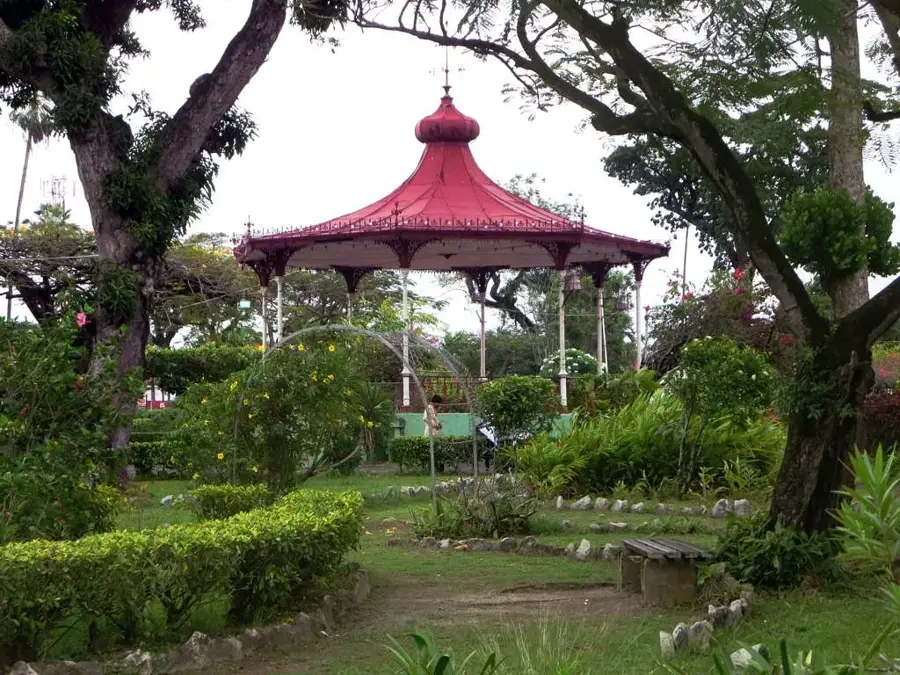
Walk towards the coast in the late afternoon for a relaxing atmosphere.
Wander away from the main public road for a quieter glimpse of village life.
Water temperature…
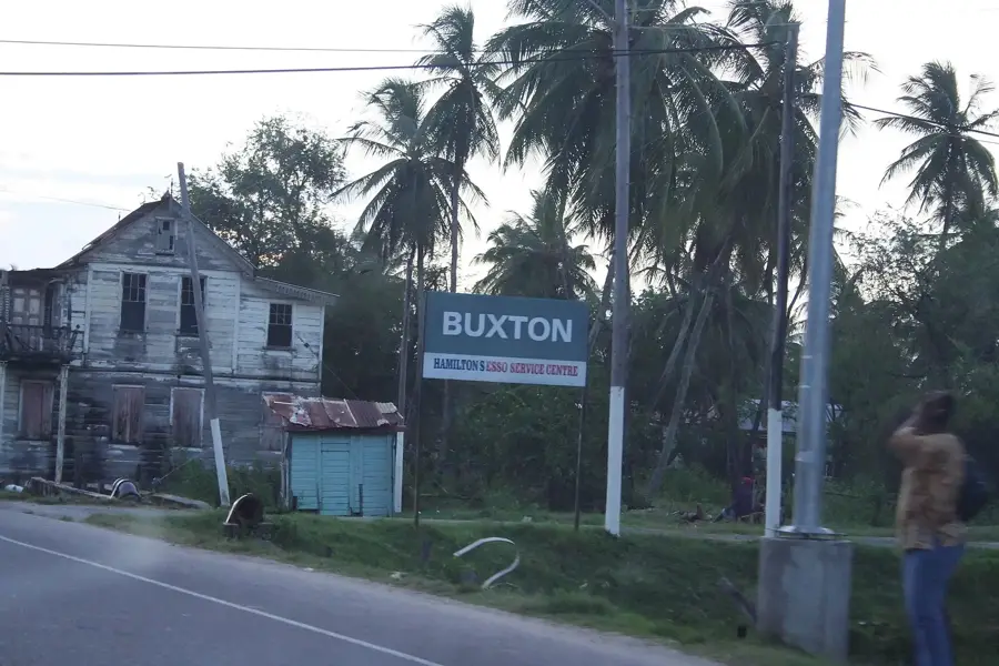
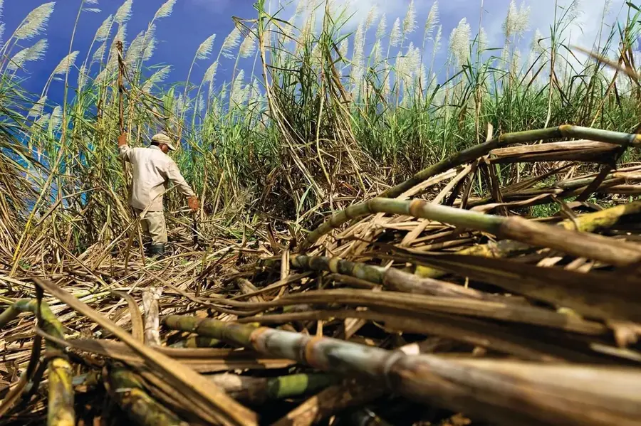
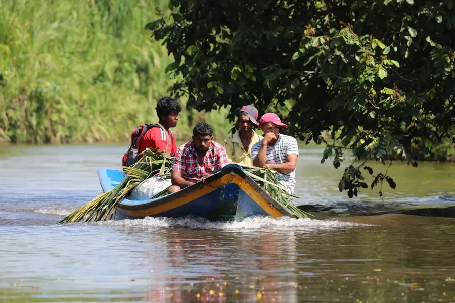
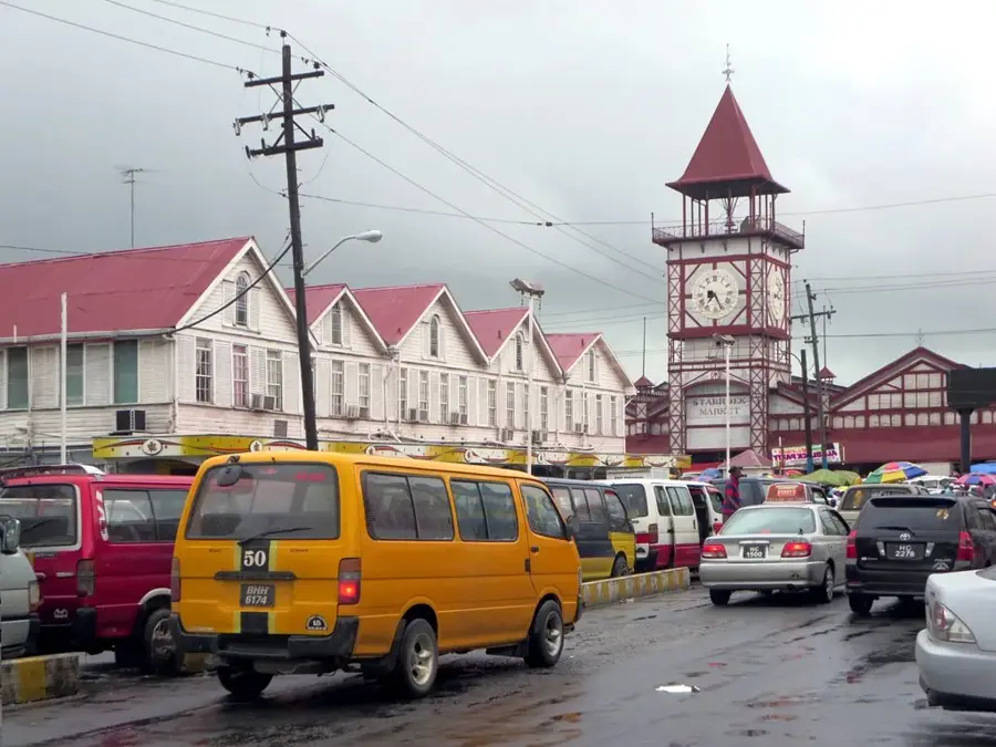
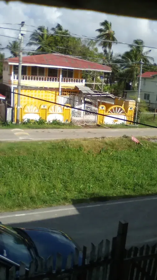
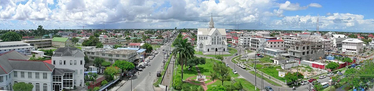
Paradise is a growing community on the East Coast of Demerara in Guyana, serving as an important residential and administrative hub within the Demerara-Mahaica region. Originally established as part of the colony's extensive sugar cane belt, the village has evolved into a modern settlement that balances traditional agriculture with new housing developments. Geographically, Paradise benefits from its location along the East Coast Highway, which provides a direct link to the capital, Georgetown, situated to the west. The nearby Hope Canal, a major infrastructure project for drainage and flood control, is critical for protecting the region's agricultural lands from heavy seasonal rains. The local economy is bolstered by rice cultivation, ground provisions, and small-scale retail, while many residents commute to the city for professional employment. The community is characterized by strong social ties and an increasing number of educational facilities. Paradise serves as a prime example of the ongoing transformation of former plantation lands into viable, modern rural centers.
- Location: Guyana
- Top sights: Start · Golden Grove Mosque · Mount Olivet Wesleyan Church
- Nearby: Mahaica Village (7 km)
- Population: ~2.050 (2026)
Best time to visit & climate
The most pleasant time to visit is Feb, Mar, Sep.
| Jan | Feb | Mar | Apr | May | Jun | Jul | Aug | Sep | Oct | Nov | Dec | |
|---|---|---|---|---|---|---|---|---|---|---|---|---|
| Avg °C | 26 | 26 | 27 | 27 | 27 | 27 | 27 | 27 | 28 | 28 | 28 | 27 |
| Rain mm | 181 | 117 | 94 | 144 | 315 | 314 | 302 | 193 | 102 | 103 | 181 | 257 |
Geography
Facts
- Located within the administrative district of Region 4 (Demerara-Mahaica).
- The nearby Hope Canal provides essential flood protection for the area.
- Primary agricultural outputs include rice and ground provisions.
- Situated roughly 20 kilometers east of the capital city, Georgetown.
- Part of the continuous settlement chain along the East Coast Highway.
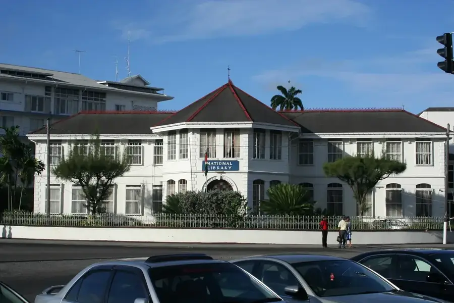
- Houses local government offices for the surrounding district.
Explore nearby
Notable places around
Route planner — Car & Motorhome
Where do you start? We build the route here, with stops and country notes along the way.
© OpenStreetMap contributors · OpenRouteService
Sights in the town Paradise (7)
Wilberforce Church
Church in Paradise, named after William Wilberforce, a Christian meeting place.
Golden Grove Seventh Day Adventist Church
Seventh-day Adventist church in Golden Grove, holding Sabbath services.
Nootenzuil (Belfield) Sluice
Sluice in Paradise, a water regulation structure.
Hindu temple
Hindu temple in Paradise, a site for puja and religious ceremonies.
Frequently asked questions
What is the function of Paradise?
Are there government buildings there?
How do you get to Paradise?
Is it a tourist destination?
What facilities are there for visitors?
Paradise: where is it located?
Paradise: what is there to see?
Paradise: when is the best time to visit?
Paradise: why is it worth visiting?

Nearby cities
History & landmarks
More places