Plizio Visual Lab
Mount Mocende

Weather…
Water temperature…
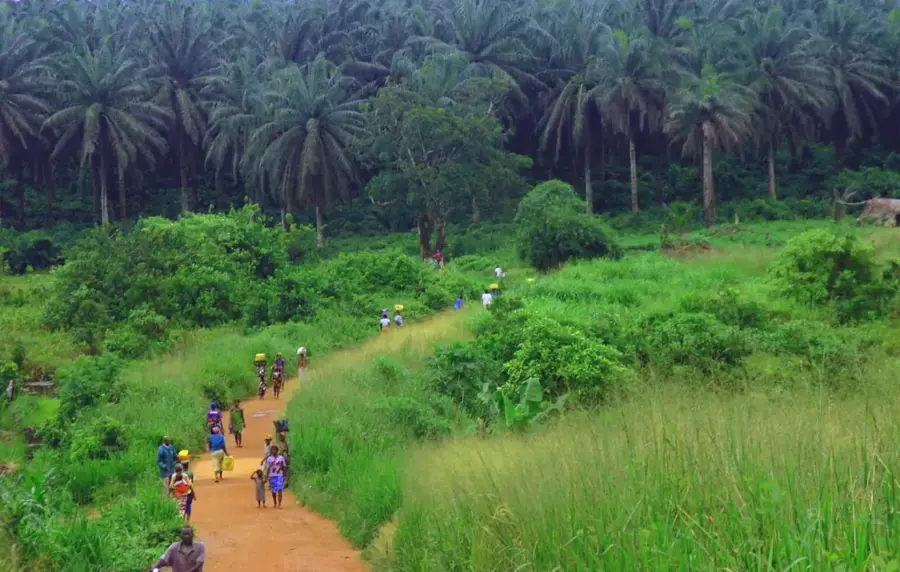
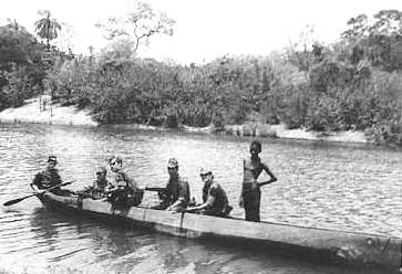
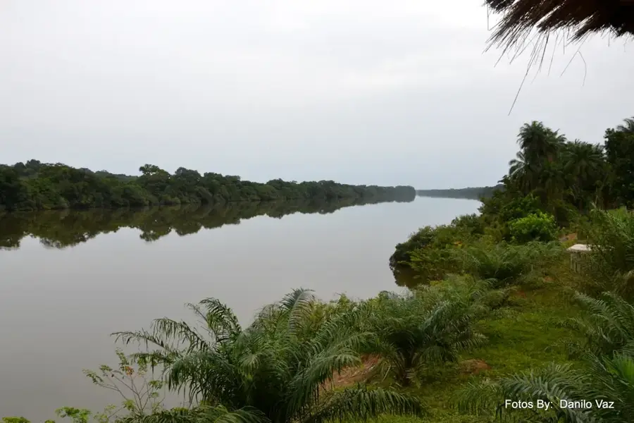
Mount Mocende is one of the highest elevations in Guinea-Bissau, located in the remote southeastern part of the country near the border with the Republic of Guinea. Geographically, it is connected to the foothills of the Fouta-Djallon highlands, which extend westward from Guinea. Standing at an altitude of approximately 300 meters above sea level, it significantly overtowers the otherwise flat to gently undulating topography of the nation. The relief of Mount Mocende is characterized by steep slopes and rugged laterite plateaus that drop into deep-cut valleys. These valleys are often covered with dense gallery forests, while the mountain crests are marked by open grassy savannas. Geologically, the mountain is rich in iron and aluminum oxides, giving the rocks their characteristic reddish hue. Mount Mocende plays a vital role in the regional water cycle, as its slopes feed numerous streams that eventually flow into the Corubal River. Due to its remote location and challenging terrain, the mountain serves as a sanctuary for rare wildlife and provides one of the most spectacular vantage points over Guinea-Bissau's pristine hinterland.
- Location: Guinea-Bissau
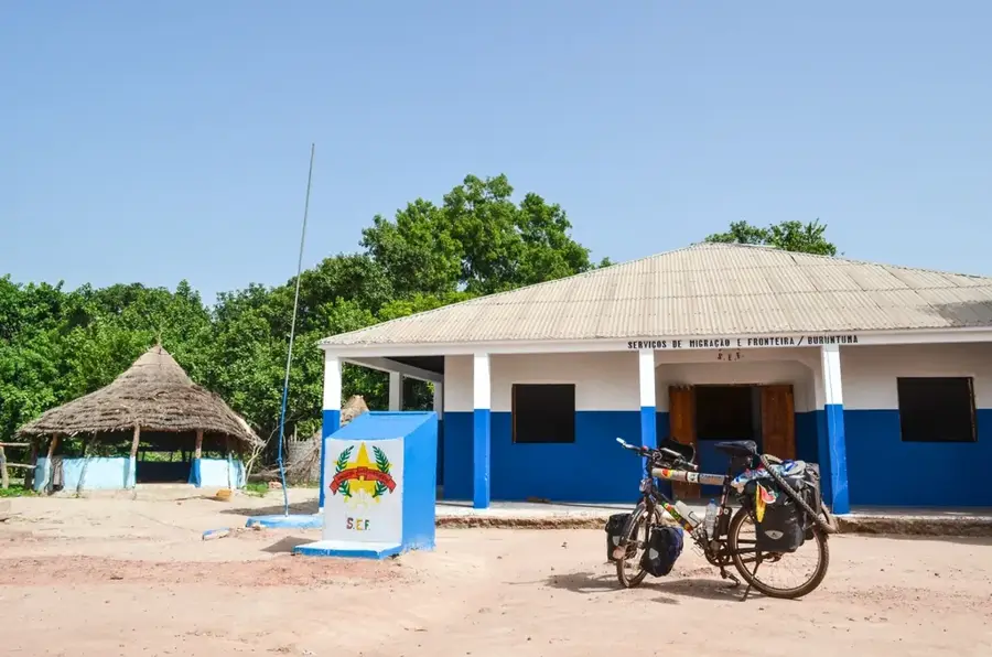
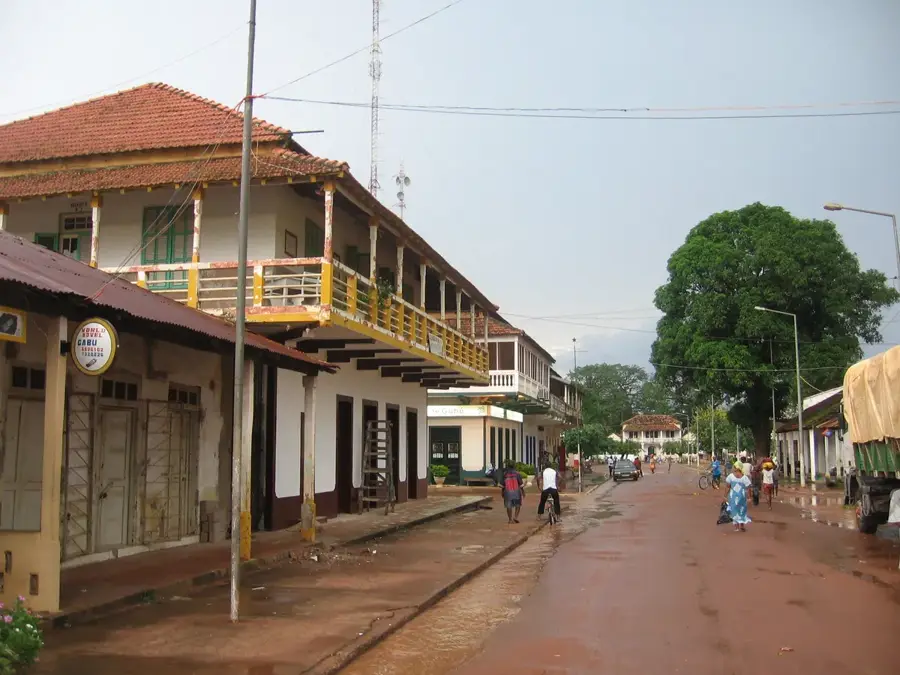
- Nearby: Madina do Boe (49 km)
Best time to visit & climate
The most pleasant time to visit is Jan, Nov, Dec.
| Jan | Feb | Mar | Apr | May | Jun | Jul | Aug | Sep | Oct | Nov | Dec | |
|---|---|---|---|---|---|---|---|---|---|---|---|---|
| Avg °C | 27 | 29 | 31 | 33 | 32 | 29 | 26 | 26 | 26 | 26 | 25 | 25 |
| Rain mm | 1 | 1 | 1 | 2 | 38 | 165 | 365 | 464 | 314 | 145 | 16 | 0 |
📋 Practical info
Geography
Facts
- The mountain is part of the Fouta-Djallon mountain system.
- Its elevation is a significant peak in the context of the national topography.
- The bedrock consists primarily of hard, iron-rich laterite.
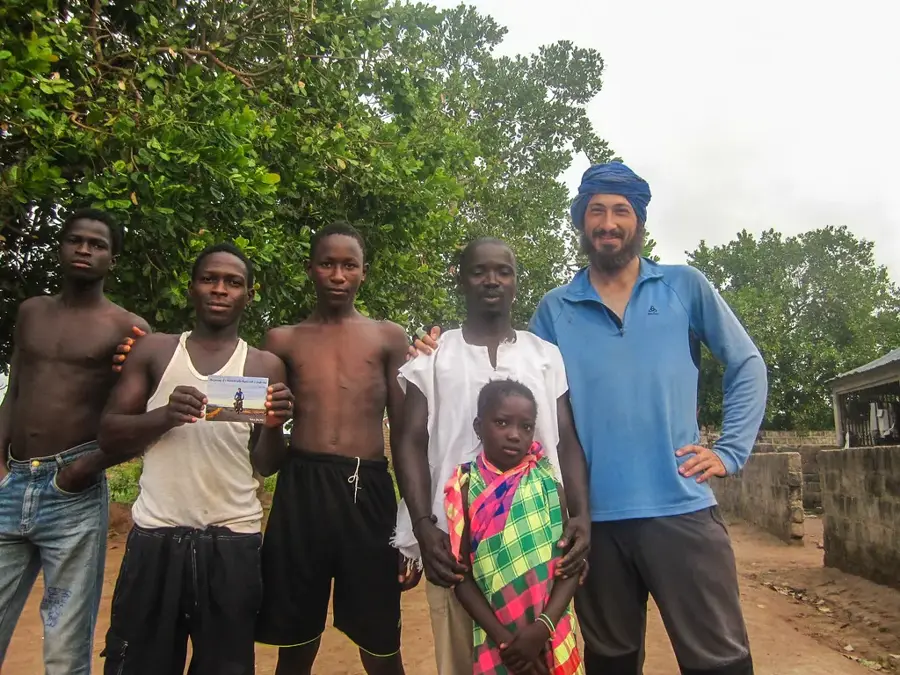
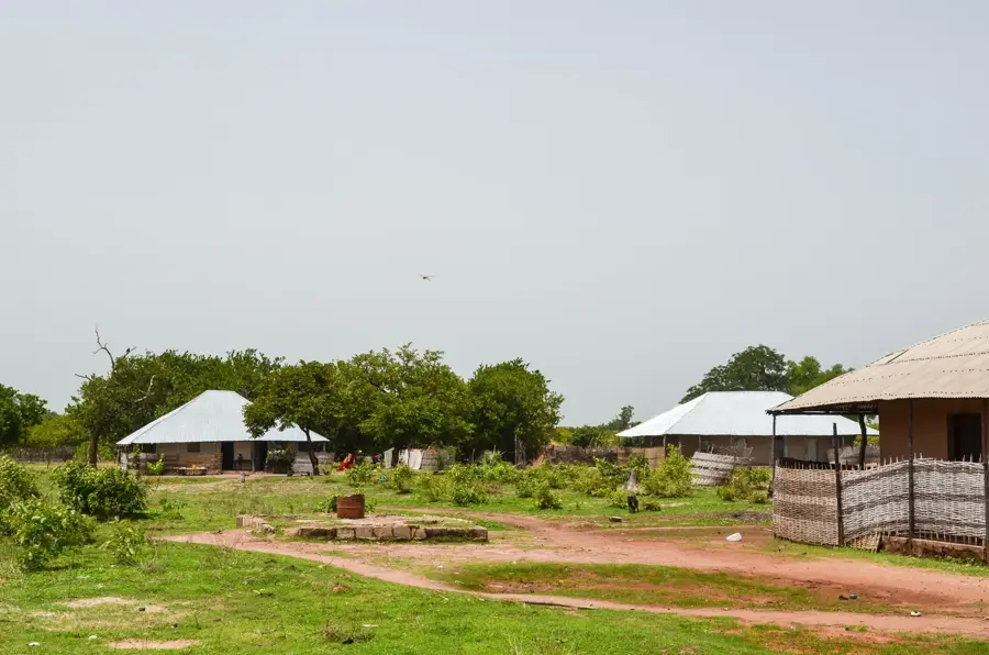
- The area surrounding the mountain is almost entirely uninhabited wilderness.
- Several headwaters of the Corubal River originate in this massif.
- The rocky crevices provide nesting sites for rare birds of prey.
Explore nearby
Notable places around
Route planner — Car & Motorhome
Where do you start? We build the route here, with stops and country notes along the way.
© OpenStreetMap contributors · OpenRouteService
Sights nearby
Frequently asked questions
How high is Mount Mocende?
Where is the mountain located?
Is it difficult to climb?
What can you see from the summit?
Is there any tourist infrastructure?
Mount Mocende: where is it located?
Mount Mocende: when is the best time to visit?
Mount Mocende: why is it worth visiting?

Nearby cities
History & landmarks

Nature
More places