Plizio Visual Lab
Buruntuma
ℹ️Practical info — Buruntuma
▾
🌤 Weather — 5 days
📍 Nearby
Sights nearby
💡 Tips
- As a border town with Guinea, keep your passport and visas readily accessible at all times.
- Infrastructure is very basic; bring a power bank and any essential personal medications.
- It is best to travel here during the dry season, as dirt roads become muddy and impassable in the rain.
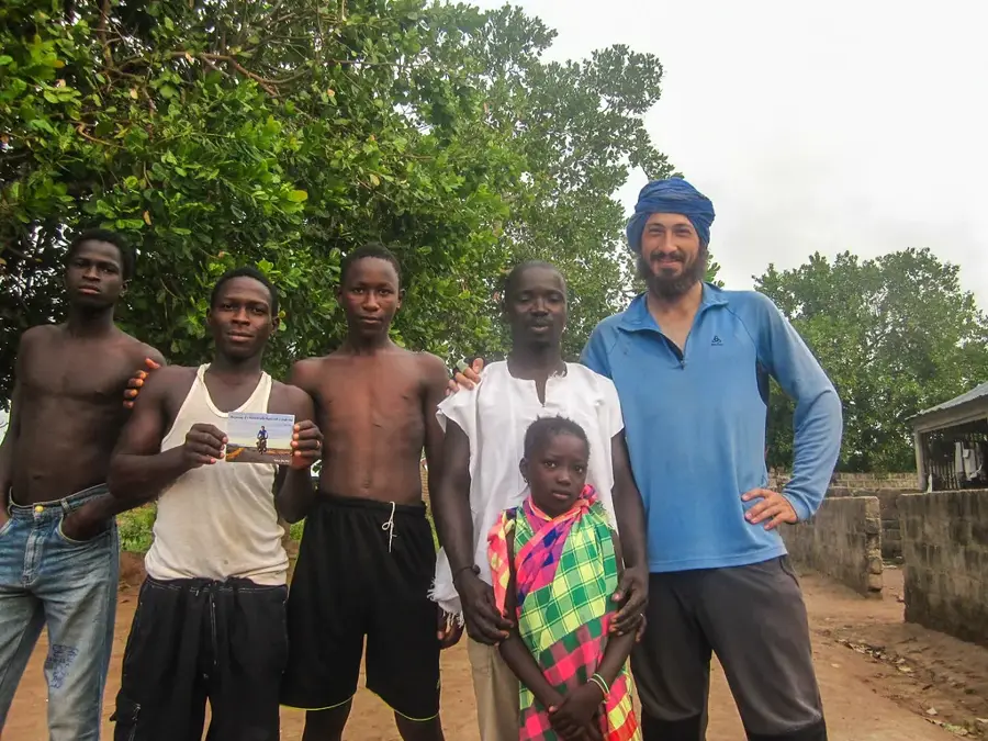
- Greeting locals respectfully is key; knowing a few words of Crioulo, French, or Portuguese goes a long way.
- Carry CFA francs in small denominations, as finding exact change can be difficult.
🍽 Food
A hearty, savory local dish served over rice, available at small roadside eateries.
Simple and delicious, often cooked freshly over charcoal fires by the street.
When in season, buy these incredibly sweet tropical fruits at the local market.
🛍 Shopping · 🧘 Quiet spots
Look for brightly colored local fabrics at the small border market.
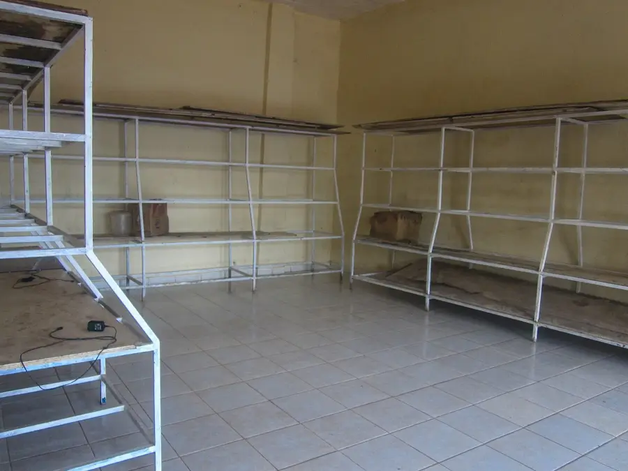
The main spot to buy fresh fruits, vegetables, and basic travel supplies before moving on.
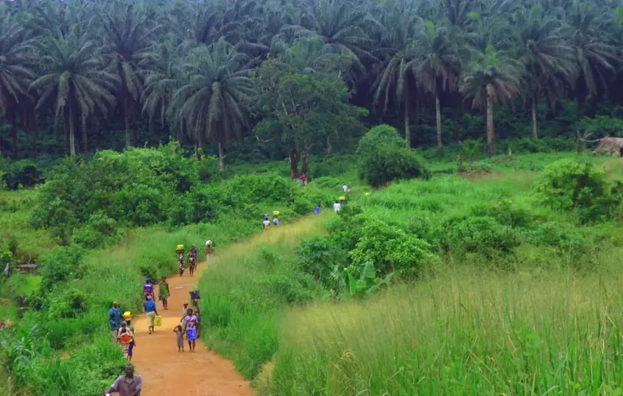
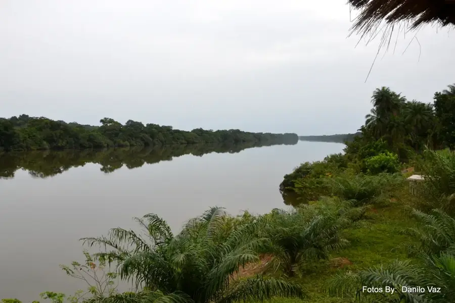
Walk to the edges of the village to take in the wide, open landscapes.
Find refuge from the midday heat in quiet spots sitting under ancient, sprawling trees.
Water temperature…
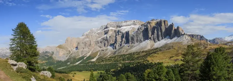
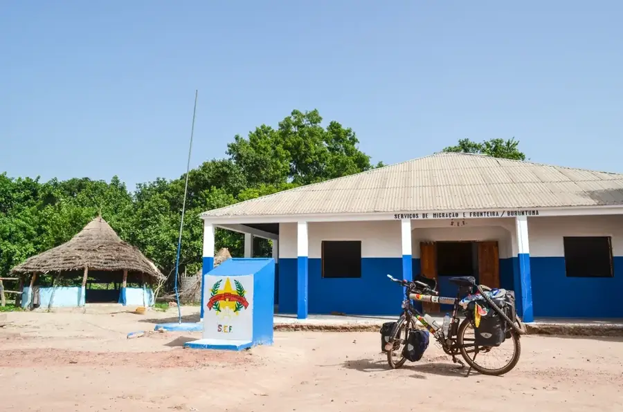
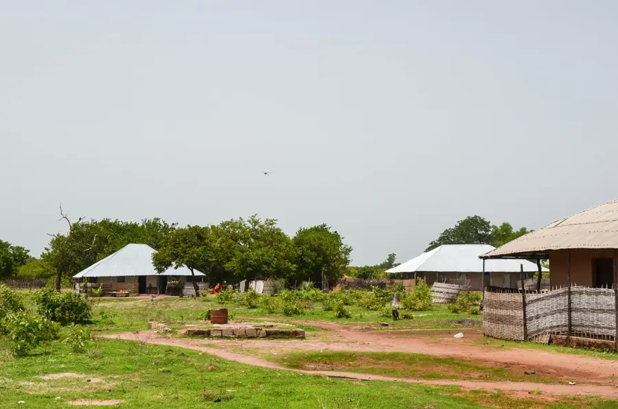
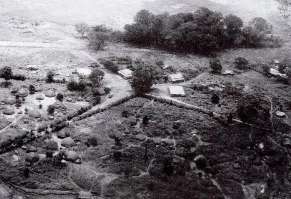
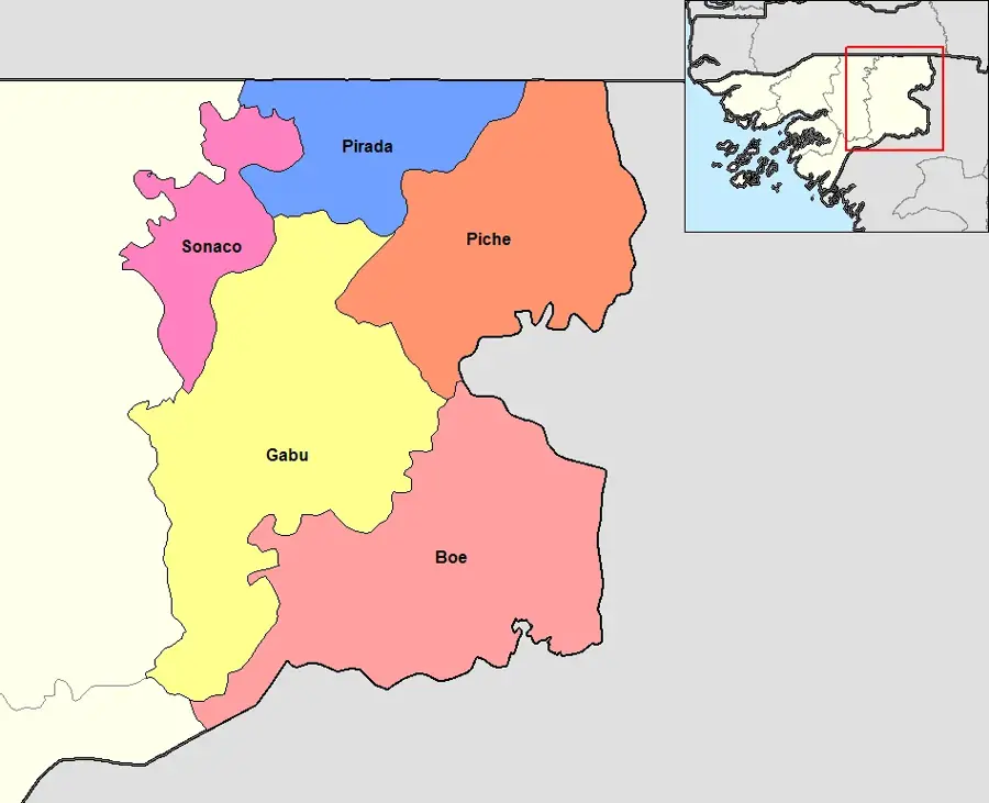
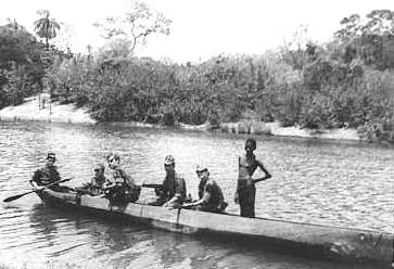
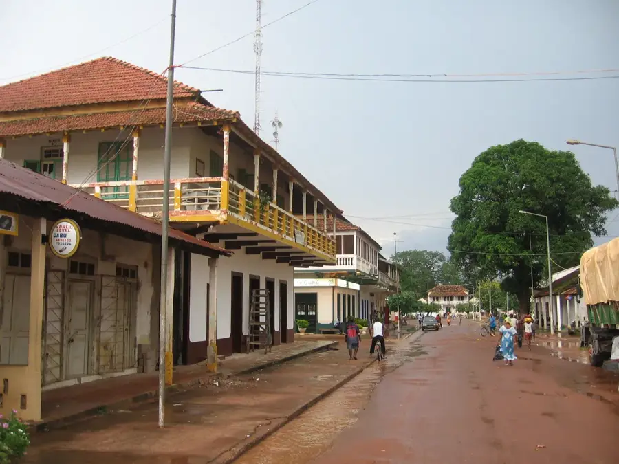
Buruntuma is a strategically vital border town located in the far east of Guinea-Bissau, directly on the frontier with the Republic of Guinea. As part of the Pitche sector in the Gabú region, the town serves as one of the primary entry points for travelers and goods moving between the two West African nations. The history of Buruntuma is deeply intertwined with the nation's war of independence, as the border region was a theater for significant troop movements and strategic operations. Geographically, the town lies in a flat savanna landscape characterized by seasonal rainfall and agricultural activity on the surrounding lands. The local economy relies almost entirely on cross-border trade and the provision of services for transit traffic. Due to its remote location from the capital, Bissau, Buruntuma exemplifies the challenges of rural development and border management in West Africa. Its cultural identity is shaped by the continuous interaction and mixing of various ethnic groups from both sides of the border.
- Location: Guinea-Bissau
- Nearby: Pitche (26 km)
Best time to visit & climate
The most pleasant time to visit is Jan, Nov, Dec.
| Jan | Feb | Mar | Apr | May | Jun | Jul | Aug | Sep | Oct | Nov | Dec | |
|---|---|---|---|---|---|---|---|---|---|---|---|---|
| Avg °C | 26 | 29 | 32 | 33 | 33 | 30 | 27 | 26 | 26 | 27 | 26 | 24 |
| Rain mm | 1 | 1 | 0 | 2 | 29 | 153 | 295 | 387 | 280 | 110 | 9 | 0 |
Geography
Facts
- Main border crossing point to the Republic of Guinea
- Located in the Gabú region, Pitche sector
- Used as a strategic base during the war of independence
- Situated more than 200 kilometers from the capital, Bissau
- The local economy is driven by cross-border commerce
- Home to a diverse population due to migratory trade flows
Explore nearby
Notable places around
Route planner — Car & Motorhome
Where do you start? We build the route here, with stops and country notes along the way.
© OpenStreetMap contributors · OpenRouteService
Frequently asked questions
What is Buruntuma?
What are the road conditions like?
Are permits required?
Are there gas stations there?
Is there drinking water?
Buruntuma: where is it located?
Buruntuma: when is the best time to visit?
Buruntuma: why is it worth visiting?

Nearby cities
History & landmarks

Nature
More places