Plizio Visual Lab
Corubal River
Weather…
Water temperature…
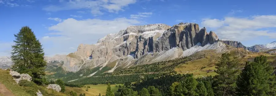
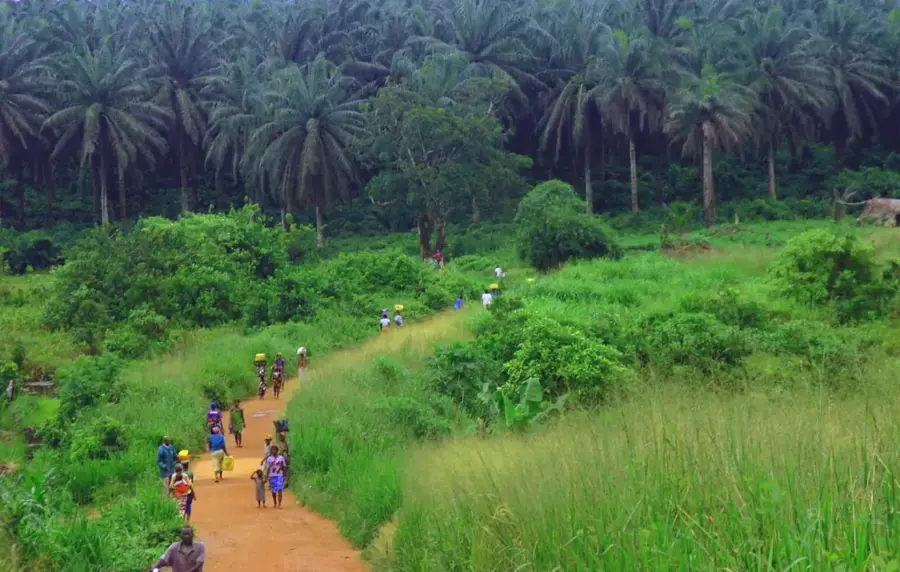
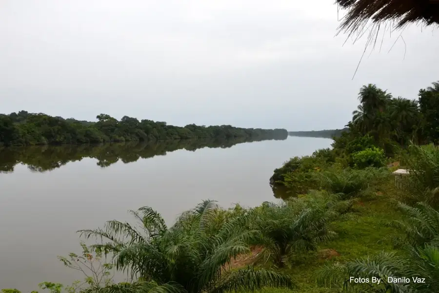
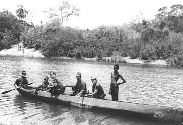
The Corubal River is the most important tributary of the Geba and is considered one of the wildest and most scenic rivers in Guinea-Bissau. It rises in the Fouta-Djallon massif in Guinea and flows through the southeast of the country before emptying into the Geba estuary. In contrast to the sluggish Geba, the Corubal is defined by a steeper gradient and numerous rapids and waterfalls, such as the famous Cusselinta Falls. These geographic features make it a potential source for hydroelectric power, a sector of great importance for the country's future energy independence. The nature along the Corubal is spectacular: it flows through dense gallery forests and open savanna landscapes that house a rich fauna, including hippos, chimpanzees in the riparian forests, and a multitude of reptiles. The river is less affected by siltation than the Geba and carries clear water throughout the year. For the local population in the Gabú and Bafatá regions, the Corubal is an important resource for fishing and irrigation. Its raw beauty and ecological importance as a wildlife corridor make it one of Guinea-Bissau's most valuable natural treasures.
- Location: Guinea-Bissau
- Nearby: Galomaro (49 km)
Best time to visit & climate
The most pleasant time to visit is Jan, Nov, Dec.
| Jan | Feb | Mar | Apr | May | Jun | Jul | Aug | Sep | Oct | Nov | Dec | |
|---|---|---|---|---|---|---|---|---|---|---|---|---|
| Avg °C | 27 | 29 | 31 | 33 | 32 | 29 | 26 | 26 | 26 | 26 | 25 | 25 |
| Rain mm | 1 | 1 | 1 | 2 | 38 | 165 | 365 | 464 | 314 | 145 | 16 | 0 |
📋 Practical info
Geography
Facts
- The Corubal is the second-longest river within Guinea-Bissau.
- The Cusselinta Falls are a prime destination for regional ecotourism.
- Parts of the river serve as a natural border with Guinea-Conakry.
- It supports some of the most diverse freshwater fish populations in the country.
- The Saltinho hydroelectric project is a key part of national development plans.
- Riparian corridors along the river are vital for regional primate migrations.
Explore nearby
Notable places around
Route planner — Car & Motorhome
Where do you start? We build the route here, with stops and country notes along the way.
© OpenStreetMap contributors · OpenRouteService
Sights in the town Corubal River (1)
Sights nearby
Frequently asked questions
What are the Saltinho rapids on the Rio Corubal?
Can you swim in the Rio Corubal?
Where does the river originate?
Is the Corubal River good for fishing?
When is the water level highest?
Corubal River: where is it located?
Corubal River: when is the best time to visit?
Corubal River: why is it worth visiting?

Nearby cities
History & landmarks

More places