Plizio Visual Lab
Old Port of Bissau

Weather…
Water temperature…
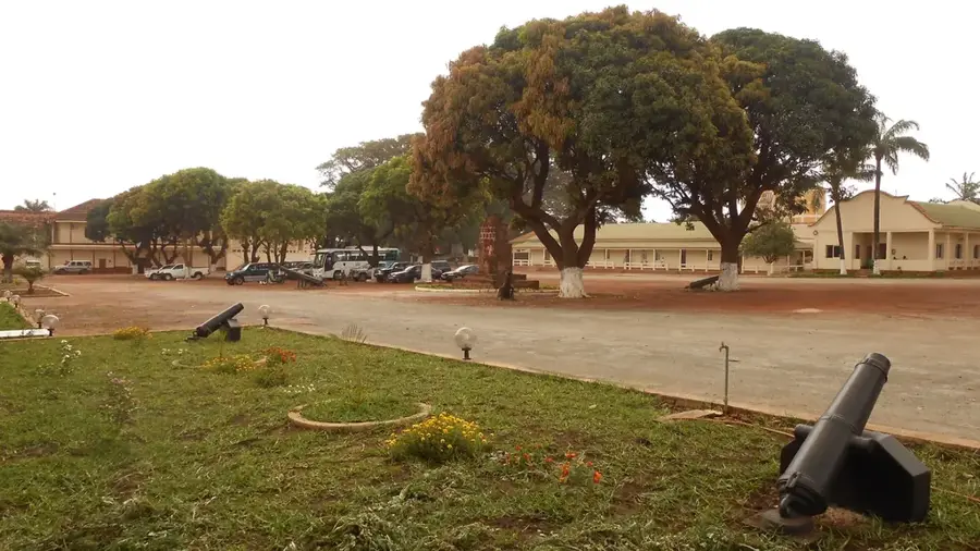
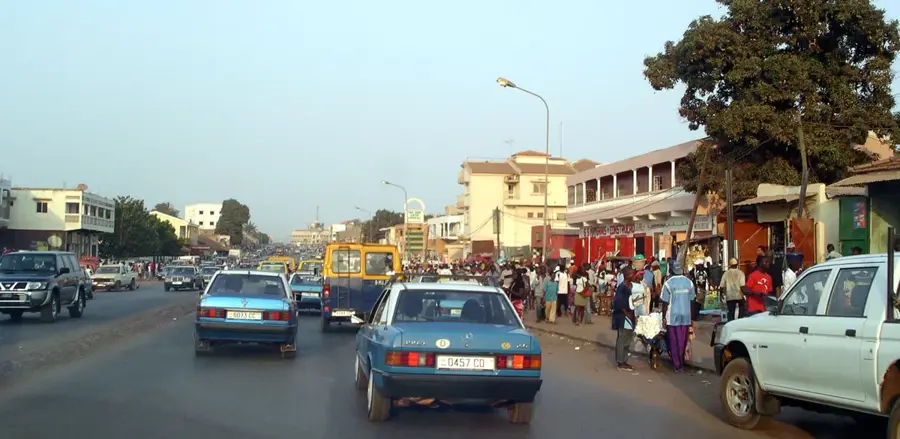
The Old Port of Bissau, often referred to as the Porto de Bissau-Velho, is the maritime foundation of the capital and a site of deep historical complexity. Established in the late 17th century, it initially served as a primary hub for the slave trade, later transitioning to the export of commodities such as ivory, timber, and peanuts. The architecture surrounding the port reflects Portuguese colonial urbanism, with narrow streets and robust stone buildings that once served as trading houses and warehouses. For centuries, this port was the economic engine of Portuguese Guinea and its only consistent link to the outside world. A key historical landmark within the port area is the Pidjiguiti Quay, the site of the 1959 massacre that catalyzed the nation's armed struggle for independence. Although much of the modern commercial traffic has shifted to nearby deeper-water terminals, the old port retains an aura of timelessness. The rusted cranes, weathered piers, and traditional fishing boats that now populate the water tell a story of global connectivity, colonial exploitation, and the long road to sovereignty. It remains a monument to Bissau's transformation from a small trading outpost into an animated African capital.
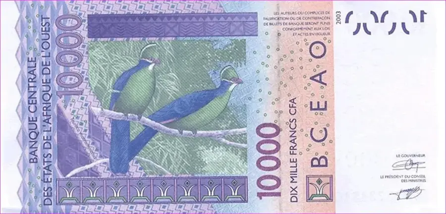
- Location: Guinea-Bissau
- Top sights: Etablissements Ch. Peyrissac · Antiga porta das muralhas da vila de Bissau · Casa Gouveia
- Nearby: Safim (13 km)
Best time to visit & climate
The most pleasant time to visit is Jan, Feb, Dec.
| Jan | Feb | Mar | Apr | May | Jun | Jul | Aug | Sep | Oct | Nov | Dec | |
|---|---|---|---|---|---|---|---|---|---|---|---|---|
| Avg °C | 23 | 25 | 27 | 29 | 29 | 28 | 27 | 26 | 26 | 27 | 26 | 24 |
| Rain mm | 1 | 0 | 0 | 0 | 21 | 132 | 375 | 487 | 355 | 173 | 11 | 0 |
📋 Practical info
Geography
Facts
- The port was established in the late 1600s as a fortified trade station.
- It was the epicenter of the 1959 Pidjiguiti strike and subsequent massacre.
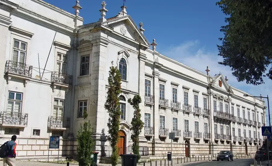
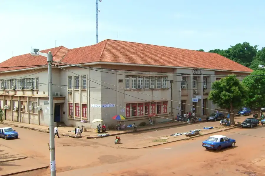
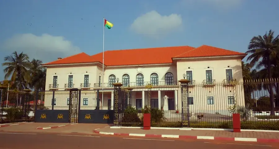
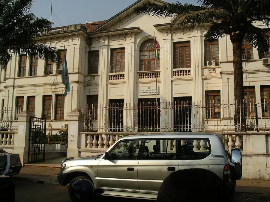
- The surrounding 'Bissau Velho' district contains historic colonial offices.
- It served as the primary gateway for Portuguese colonial administration.
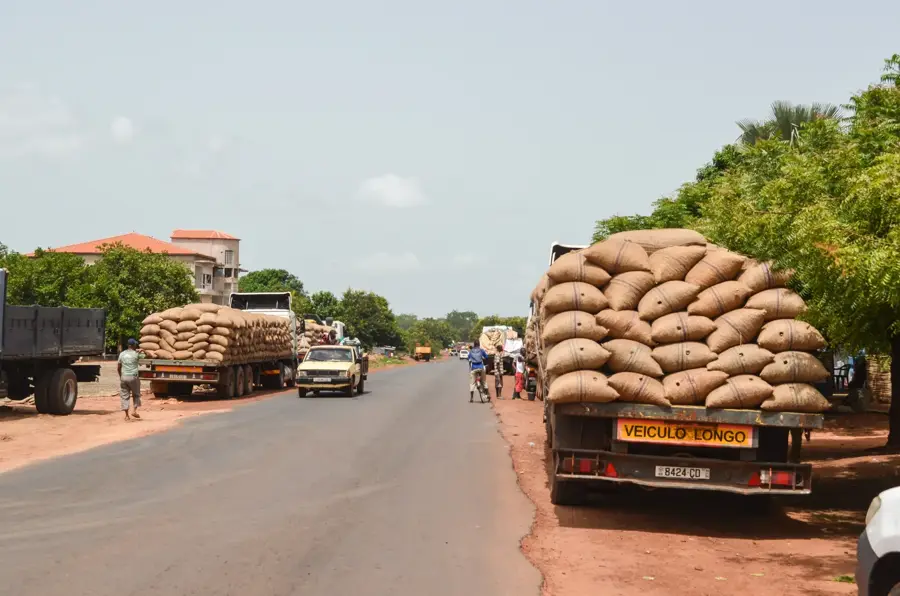
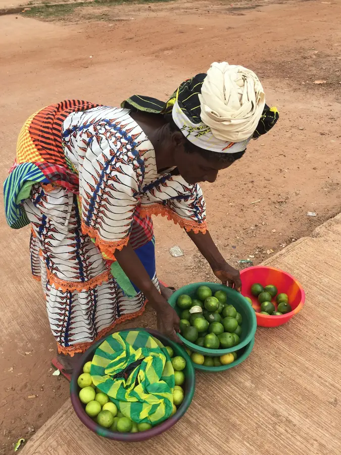
- Today, it remains a hub for small-scale regional trade and fishing.
- The harbor's depth is affected by significant siltation from the Geba River.
Explore nearby
Notable places around
Route planner — Car & Motorhome
Where do you start? We build the route here, with stops and country notes along the way.
© OpenStreetMap contributors · OpenRouteService
Sights in the town Old Port of Bissau (10)
Casa Gouveia
Ruins of a historic residential and commercial house in Bissau.
Bissau Cathedral
The Cathedral Church in Guinea-Bissau, main place of worship.
Baluarte da Onça🏰 castle
Small fortress tower from the Portuguese colonial period in Bissau.
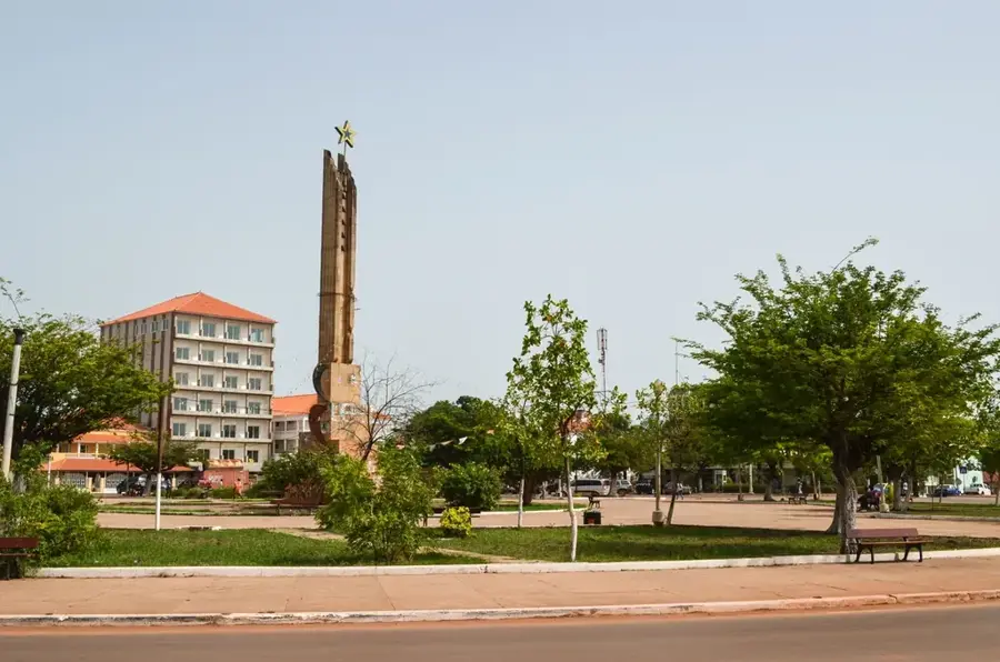
Praça dos Heróis Nacionais🌳 park
Central square in Bissau, used for national ceremonies and gatherings.
Museu Etnográfico🏛 museum
Ethnographic museum in Bissau showcasing local cultures and traditions.
Farol da Ilha do Rei
Lighthouse on Ilha do Rei island off the coast of Bissau.
Sights nearby
Frequently asked questions
When is the best time to visit the Old Port of Bissau?
Is the port safe for tourists?
What is the historical significance of this place?
Can you take boat trips from here?
Are there restaurants nearby?
Old Port of Bissau: where is it located?
Old Port of Bissau: what is there to see?
Old Port of Bissau: when is the best time to visit?
Old Port of Bissau: why is it worth visiting?

Nearby cities
History & landmarks

Nature

More places