Plizio Visual Lab
Geba River
The Geba River is the most significant river in Guinea-Bissau and the ecological backbone of the country. With a total length of approximately 550 kilometers, it rises in the Fouta-Djallon highlands of Guinea and flows through the country from east to west before emptying into a massive estuary near the capital, Bissau. The river is of existential importance to the national economy, serving as the primary transport route between the coast and the interior. A characteristic natural phenomenon of the Geba is the tidal bore, which pushes far upstream during high tide and heavily influences water levels. The banks of the Geba are defined by fertile alluvial soils that enable rice cultivation and livestock farming. Extensive mangrove systems dominate the estuary area, serving as a nursery for numerous fish species and crustaceans. Historically, the river was the lifeblood for the founding of cities such as Bafatá and Bissau. Despite increasing siltation in some sections, the Geba remains the central element of Bissau-Guinean hydrology. Its dynamics shape not only agriculture but also the climate and biodiversity of the entire central region of the country.
- Location: Guinea-Bissau
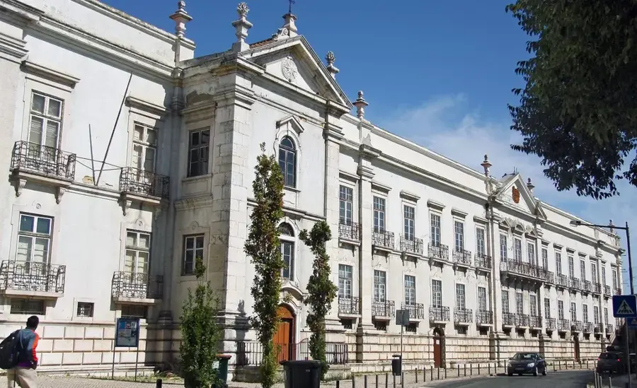
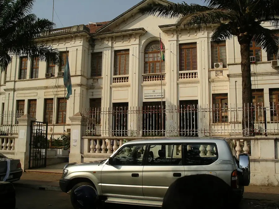
- Top sights: Baluarte da Balança · Benjamim Corrêa · Augusto d'Oliveira
- Nearby: Safim (12 km)
Best time to visit & climate
The most pleasant time to visit is Jan, Feb, Dec.
| Jan | Feb | Mar | Apr | May | Jun | Jul | Aug | Sep | Oct | Nov | Dec | |
|---|---|---|---|---|---|---|---|---|---|---|---|---|
| Avg °C | 23 | 25 | 27 | 29 | 29 | 28 | 27 | 26 | 26 | 27 | 26 | 24 |
| Rain mm | 1 | 0 | 0 | 0 | 21 | 132 | 375 | 487 | 355 | 173 | 11 | 0 |
📋 Practical info
Geography
Facts
- The Geba is the most water-rich river in Guinea-Bissau.
- Its estuary spans over 15 kilometers at its widest point.
- Tidal forces affect the water level up to 100 kilometers inland.
- During the dry season, it remains navigable for small boats up to Bafatá.
- The river basin is home to a significant portion of the nation's population.
- It is a critical source of freshwater for agricultural irrigation in the interior.
Explore nearby
Notable places around
Route planner — Car & Motorhome
Where do you start? We build the route here, with stops and country notes along the way.
© OpenStreetMap contributors · OpenRouteService
Sights in the town Geba River (10)
Société Comerciale de l' Ouest Africain
Ruins of a former trading company in Bissau.
Baluarte da Puana🏰 castle
Old fortification in Bissau, part of the city's historic defenses.
Baluarte da Onça🏰 castle
Former fortification point in Bissau, part of the old city wall.
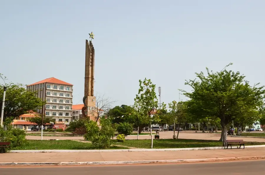
Praça dos Heróis Nacionais🌳 park
Central square in Bissau, used for national ceremonies and gatherings.
Museu Etnográfico🏛 museum
Museum in Bissau with exhibits on local culture and traditions.
Coqueiros Craft Market
Craft market in Bissau, known for local art and souvenirs.
Sights nearby
Frequently asked questions
Can you take boat tours on the Rio Geba?
Is the river navigable?
What birds can be observed on the Rio Geba?
How much do the tides affect the river?
Are there crocodiles in the Rio Geba?
Geba River: where is it located?
Geba River: what is there to see?
Geba River: when is the best time to visit?
Geba River: why is it worth visiting?

Nearby cities
History & landmarks

More places