Plizio Visual Lab
Kaur
ℹ️Practical info — Kaur
▾
🌤 Weather — 5 days
📍 Nearby
Sights nearby
💡 Tips
- Plan your trip during the dry season (November to May) when the roads are most navigable.
- Respect the local Islamic culture by dressing modestly when out in public.
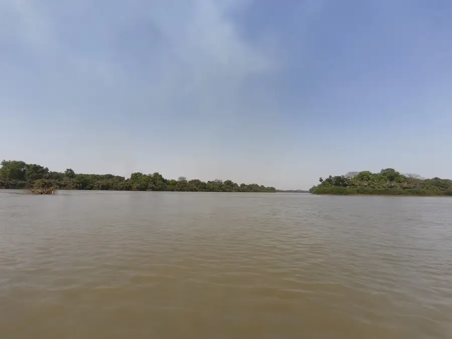
- Taking a boat trip on the Gambia River is the most scenic way to arrive at this historic trading town.
- Expect basic infrastructure; bring your own essential medications and toiletries.
🍽 Food
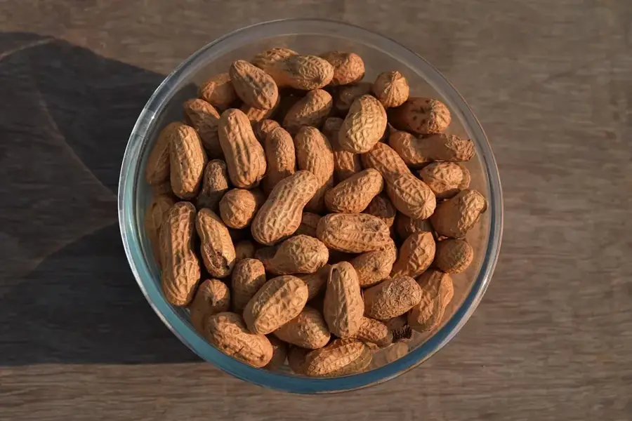
A hearty peanut stew, often served with rice, reflecting the town's history in the peanut trade.
This local Jollof rice dish, often made with fresh fish from the river, is found at basic street food stalls.
A popular local baguette-like bread, eaten fresh in the mornings with butter or beans.
🛍 Shopping · 🧘 Quiet spots
The spirited weekly market is the best place to find fabrics, crafts, and spices.
Buy fresh, locally grown peanuts from street vendors.
Sit by the water at sunset for a serene and photogenic experience.
The old peanut trading warehouses offer a quiet, atmospheric glimpse into the past.
Water temperature…
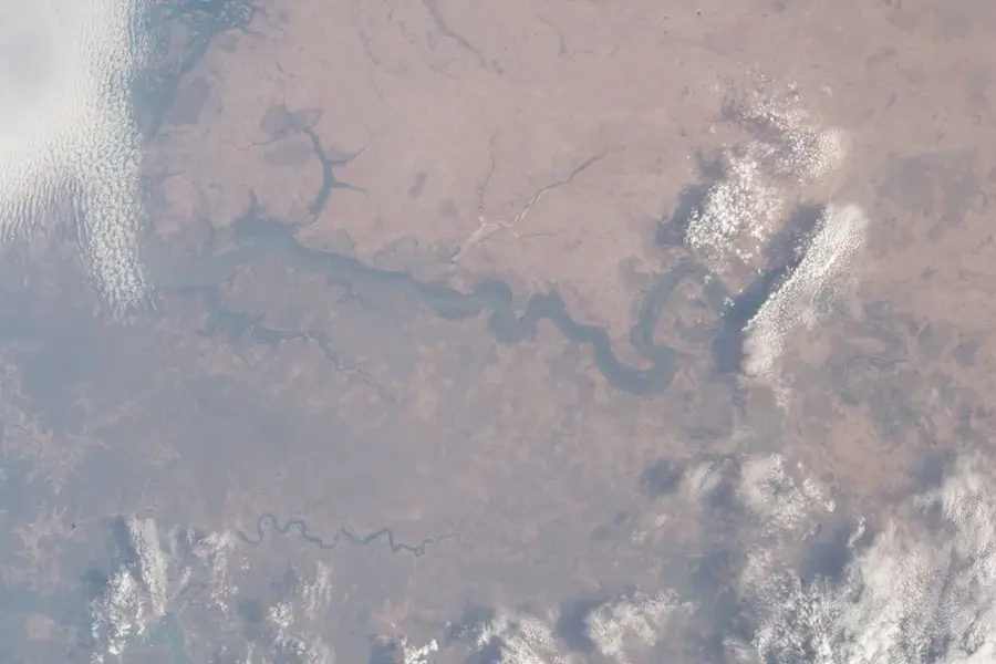
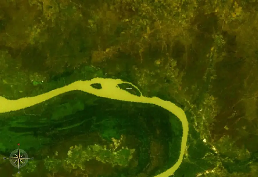
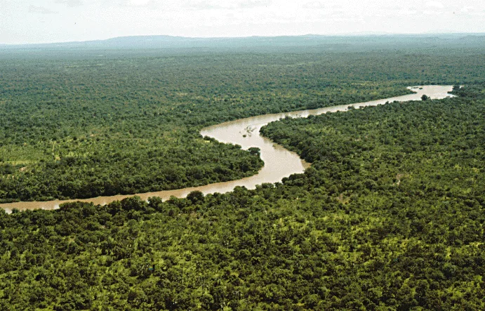
Kaur is an important historical and commercial town located in the Central River Region, situated on the north bank of the Gambia River. During the mid-20th century, Kaur was a booming center for the groundnut trade, serving as a major collection and processing point where river steamers would load massive quantities of peanuts destined for export. The town's landscape is still marked by the remnants of large colonial-era warehouses and trading company buildings. Although the river trade has diminished with the rise of road transport, Kaur remains a vital agricultural market town, surrounded by some of the most fertile farming lands in the country.
- Location: Gambia
- Nearby: Farafenni (32 km)
Best time to visit & climate
The most pleasant time to visit is Jan, Feb, Dec.
| Jan | Feb | Mar | Apr | May | Jun | Jul | Aug | Sep | Oct | Nov | Dec | |
|---|---|---|---|---|---|---|---|---|---|---|---|---|
| Avg °C | 24 | 26 | 29 | 30 | 31 | 30 | 28 | 27 | 27 | 27 | 26 | 24 |
| Rain mm | 1 | 0 | 0 | 0 | 6 | 90 | 201 | 310 | 224 | 68 | 4 | 0 |
Geography
Facts
- Located on the north bank of the river in the Central River Region.
- Historically one of the largest groundnut trading ports in The Gambia.
- Features colonial-era warehouses and trading infrastructure.
- Situated near the strategic Kaur Hill overlooking the river.
- Remains a significant agricultural market for the northern districts.
- Surrounded by highly fertile floodplain farming areas.
Explore nearby
Notable places around
Route planner — Car & Motorhome
Where do you start? We build the route here, with stops and country notes along the way.
© OpenStreetMap contributors · OpenRouteService
Sights in the town Kaur (1)
Frequently asked questions
What role did Kaur play historically?
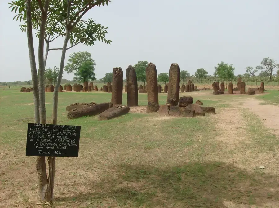
Is Kaur near the stone circles?
What is the atmosphere in the town like?
Can Kaur be reached by boat?
What is there to discover in the surroundings?
Kaur: where is it located?
Kaur: when is the best time to visit?
Kaur: why is it worth visiting?

Nearby cities

History & landmarks

More places