Plizio Visual Lab
Farafenni
ℹ️Practical info — Farafenni
▾
🌤 Weather — 5 days
📍 Nearby
Sights nearby
💡 Tips
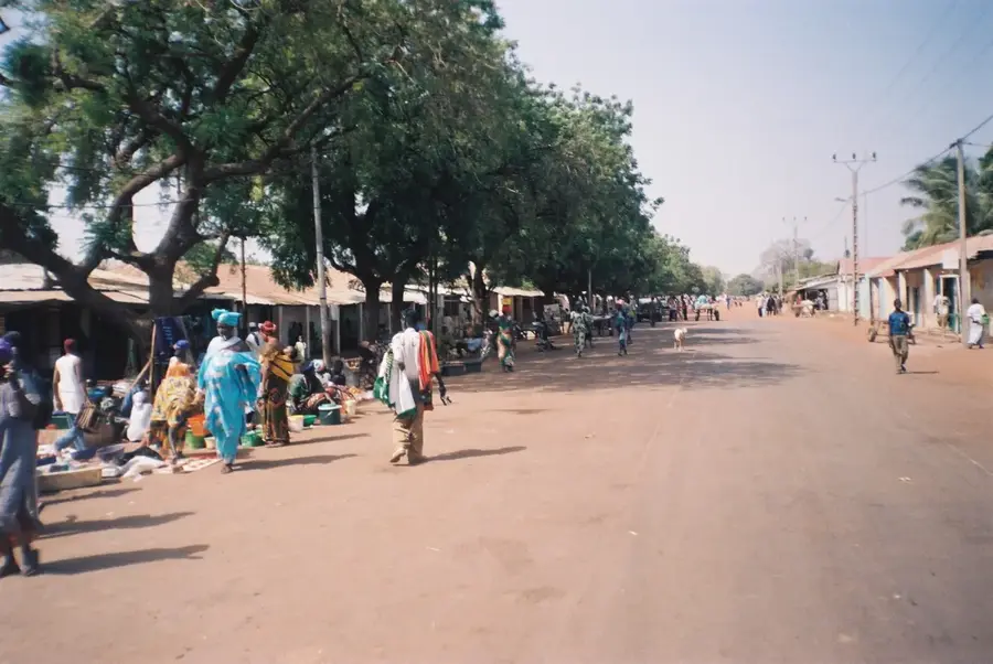
- Farafenni is a major transport hub; expect a lot of bustle around the transit areas.
- The Sunday Lumo (weekly market) is massive and draws traders from across the region.
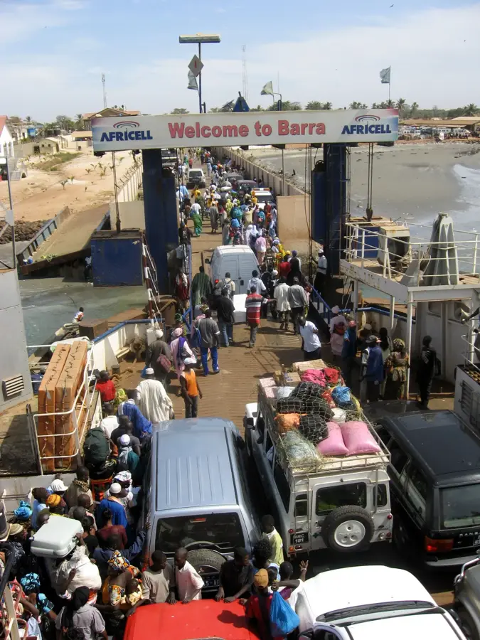
- The Senegambia Bridge has replaced the old ferry, making river crossings much smoother.
- Dress modestly out of respect for local Islamic customs.
🍽 Food
A hearty peanut stew served at most local food stalls.
The traditional rice dish (Jollof), often found at street side eateries near the market.
Brewed on the streets; a great way to strike up a conversation with locals.
🛍 Shopping · 🧘 Quiet spots
The Sunday weekly market is the best place for textiles, spices, and household goods.
Buy colorful West African fabrics and have a garment custom-made by a local tailor.
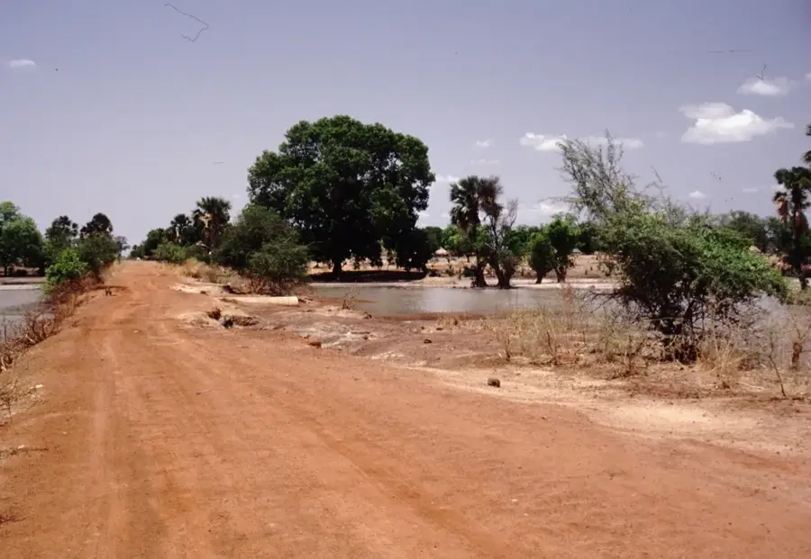
A short distance out of town, the riverbanks offer peaceful views.
The rural areas just outside the bustling center are quiet and agricultural.
Water temperature…
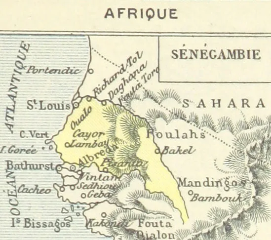
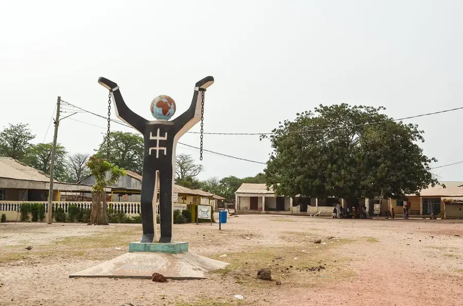
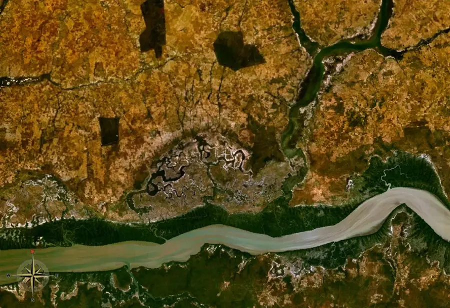
Farafenni is a crucial commercial town located in the North Bank Region of The Gambia, positioned strategically near the border with Senegal. Its rapid growth is fueled by its status as a vital transit point along the Trans-Gambia Highway, connecting the northern and southern halves of Senegal via Gambian territory. The town gained further prominence following the completion of the monumental Senegambia Bridge in 2019, which replaced the old ferry crossing over the Gambia River. Farafenni has a massive weekly market (lumo) that attracts traders from across the region, making it a bustling center for agricultural trade and regional commerce.
- Location: Gambia
- Nearby: Mansa Konko (13 km)
- Population: ~32.883 (2023)
Best time to visit & climate
The most pleasant time to visit is Jan, Feb, Dec.
| Jan | Feb | Mar | Apr | May | Jun | Jul | Aug | Sep | Oct | Nov | Dec | |
|---|---|---|---|---|---|---|---|---|---|---|---|---|
| Avg °C | 24 | 26 | 29 | 30 | 31 | 30 | 28 | 27 | 27 | 27 | 26 | 24 |
| Rain mm | 1 | 0 | 0 | 0 | 6 | 90 | 201 | 310 | 224 | 68 | 4 | 0 |
Geography
Facts
- Located in the North Bank Region near the Senegalese border.
- A major transit hub on the Trans-Gambia Highway.
- Situated near the Senegambia Bridge, completed in 2019.
- Hosts a large weekly regional market known as a 'lumo'.
- Serves as a critical link between northern and southern Senegal.
- A fast-growing center for cross-border agricultural trade.
Explore nearby
Notable places around
Route planner — Car & Motorhome
Where do you start? We build the route here, with stops and country notes along the way.
© OpenStreetMap contributors · OpenRouteService
Frequently asked questions
What is the significance of Farafenni?
Is there a bridge over the Gambia River?
What is the Lumo market?
Is the city developed for tourism?
What languages are spoken there?
Farafenni: where is it located?
Farafenni: when is the best time to visit?
Farafenni: why is it worth visiting?

Nearby cities


History & landmarks

Nature
More places