Plizio Visual Lab
Kuntaur
ℹ️Practical info — Kuntaur
▾
🌤 Weather — 5 days
📍 Nearby
Sights nearby
💡 Tips
- Bring plenty of cash as ATMs are scarce in this area.
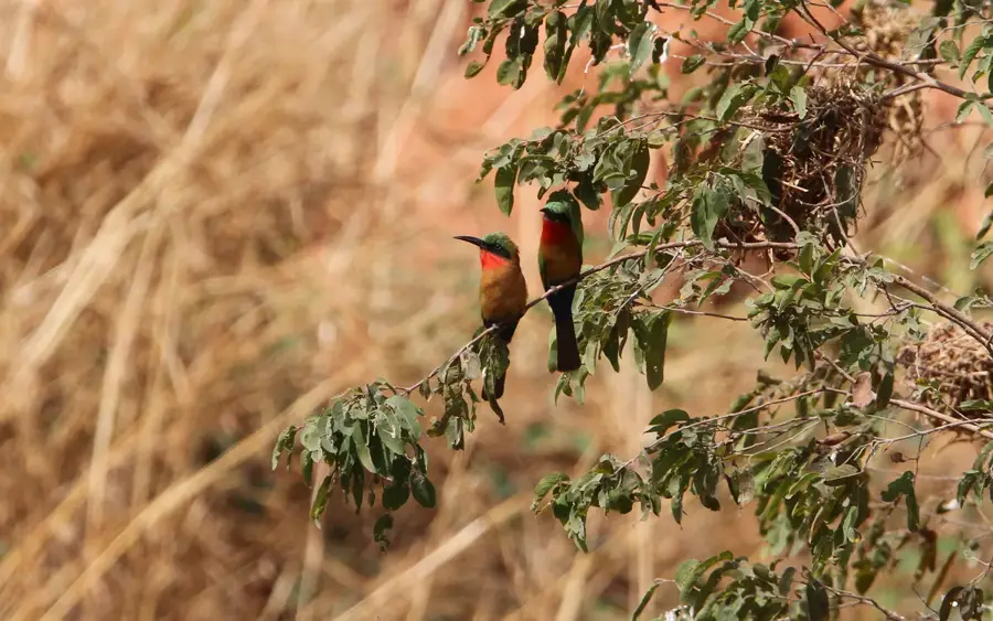
- Book boat tours to the River Gambia National Park in the early morning for the best wildlife spotting.
- Don't forget to pack strong mosquito repellent for evenings by the riverbank.
- River transport is often more reliable than the unpaved roads in the surrounding area.
🍽 Food
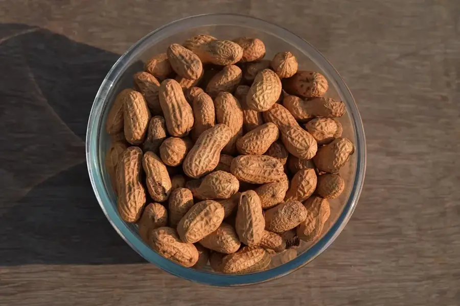
Try this traditional peanut stew, often served with beef or chicken at local eateries.
A flavorful one-pot rice dish that you can easily find at the town's markets.
Ask for the catch of the day at the basic riverside restaurants, usually served grilled.
🛍 Shopping · 🧘 Quiet spots
The best place to buy fresh fruit, vegetables, and regional spices.
Look out for woven goods sold by locals near the port area.
A quiet spot to watch the sunset and the passing pirogues.
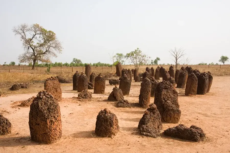
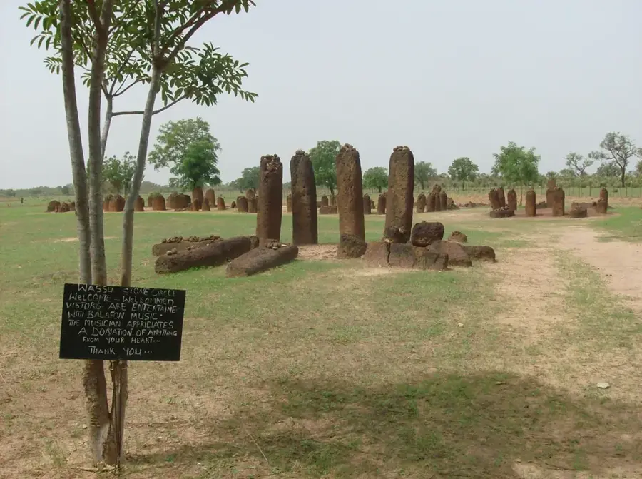
A short drive away, you'll find this mystical, peaceful archaeological site.
Water temperature…
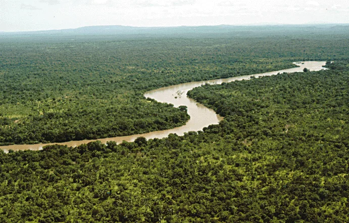
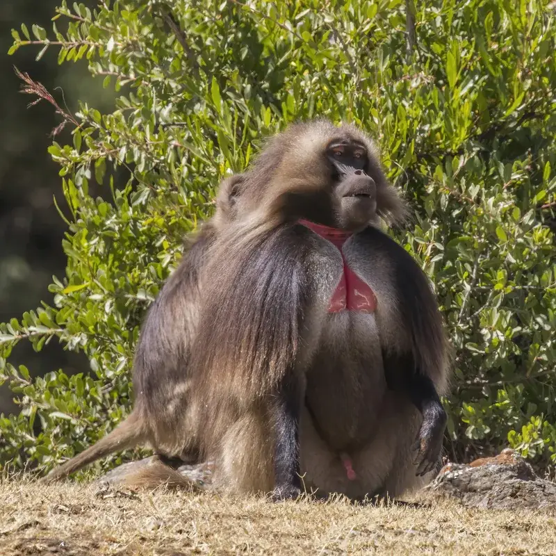
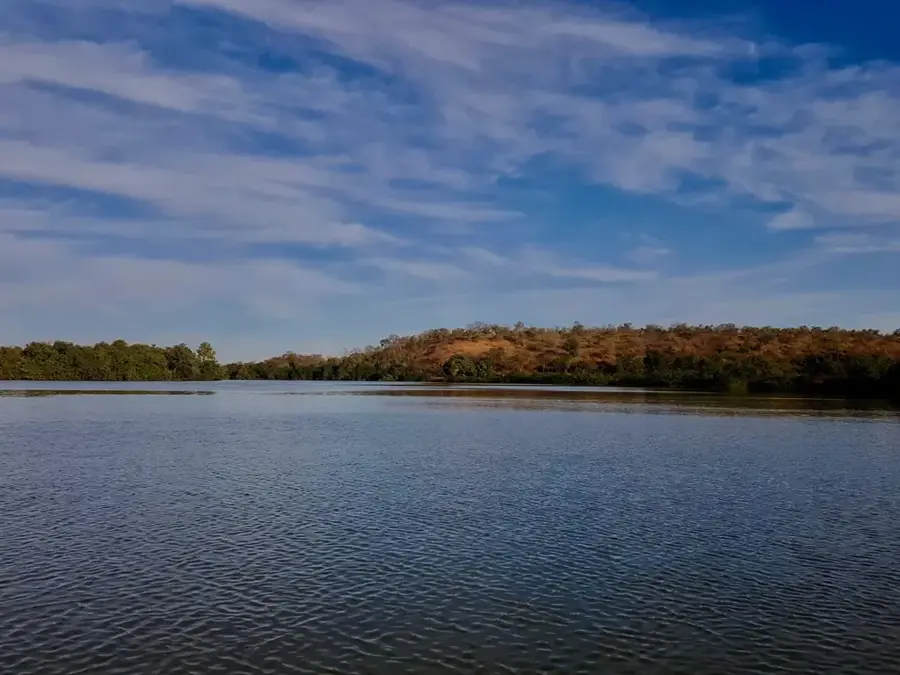
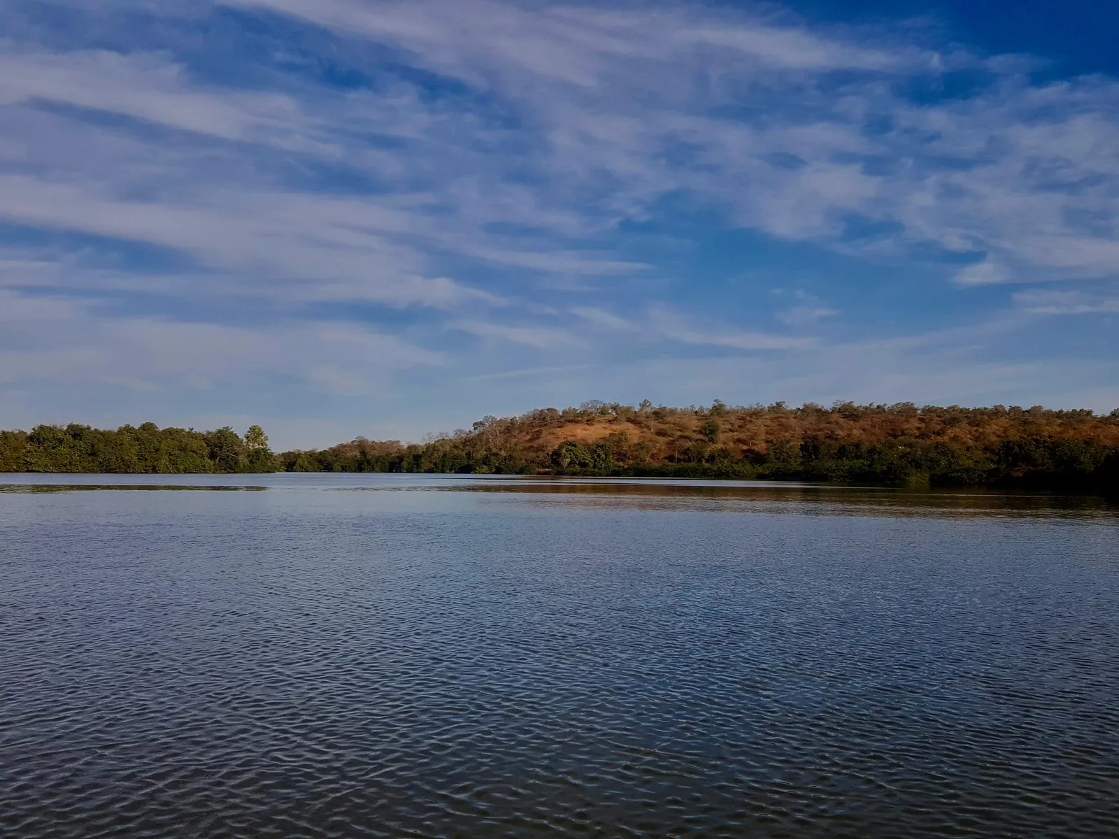
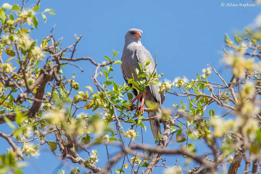
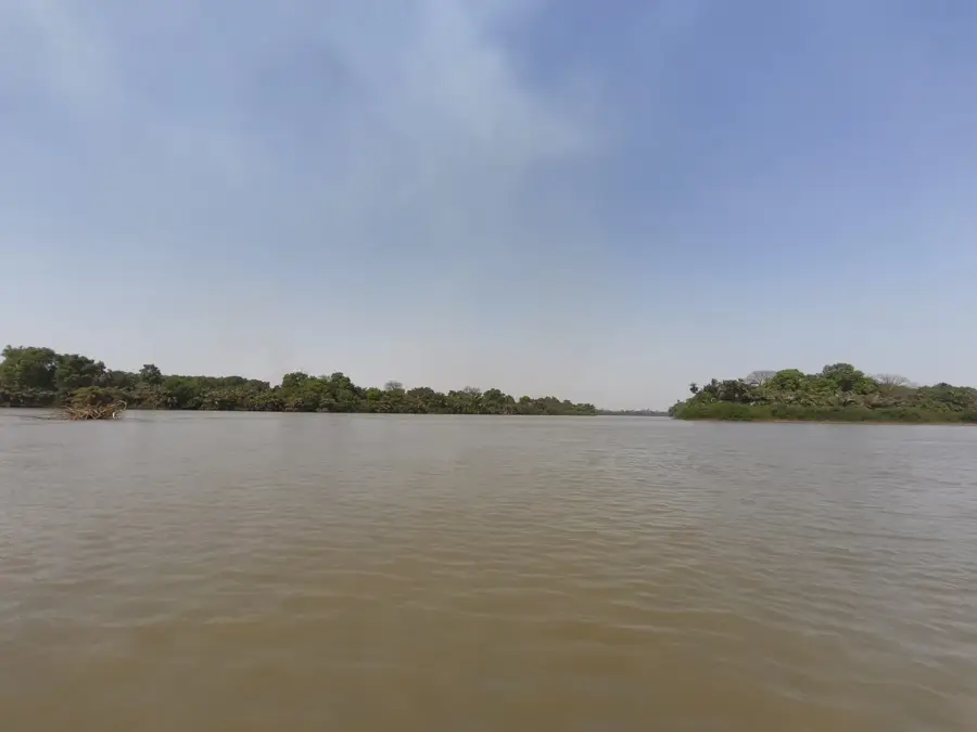
Situated on the north bank of the Gambia River, Kuntaur has long served as a vital commercial artery for the surrounding agricultural regions. The town is historically significant for its large-scale peanut trade, featuring massive silos and a bustling river port that comes alive during the harvesting season. For travelers, Kuntaur is most famous as the strategic gateway to the River Gambia National Park, often referred to as Baboon Island. Local boat operators offer guided river safaris from the town’s docks, providing a rare chance to see chimpanzees, hippos, and crocodiles in their natural habitat. Beyond the wildlife, the town features a glimpse into the traditional Gambian way of life, with its lively local markets and colonial-era remnants reflecting its past as a major inland trading post. It is an essential stop for those navigating the river or seeking to explore the ecological wonders of the Central River Division.
- Location: Gambia
- Nearby: River Gambia National Park (Baboon Islands) (9 km)
- Population: ~2.534 (2020)
Best time to visit & climate
The most pleasant time to visit is Jan, Nov, Dec.
| Jan | Feb | Mar | Apr | May | Jun | Jul | Aug | Sep | Oct | Nov | Dec | |
|---|---|---|---|---|---|---|---|---|---|---|---|---|
| Avg °C | 25 | 27 | 30 | 32 | 33 | 31 | 28 | 27 | 27 | 27 | 26 | 25 |
| Rain mm | 1 | 0 | 1 | 0 | 7 | 88 | 191 | 298 | 214 | 65 | 4 | 0 |
Geography
Facts
- A major inland river port located in the Central River Region.
- Serves as the gateway to the River Gambia National Park (Baboon Islands).
- Located a short distance from the UNESCO-listed Wassu Stone Circles.
- Features a prominent regional rice processing mill.
- Historically a vital collection point for the upriver groundnut trade.
- Economy is heavily dependent on river transport and agriculture.
Explore nearby
Notable places around
Route planner — Car & Motorhome
Where do you start? We build the route here, with stops and country notes along the way.
© OpenStreetMap contributors · OpenRouteService
Sights in the town Kuntaur (1)
Frequently asked questions
What is the River Gambia National Park?
Can the chimpanzees be visited?
How long does a boat tour from Kuntaur take?
What else can be seen besides chimpanzees?
Are there accommodation options in Kuntaur?
Kuntaur: where is it located?
Kuntaur: when is the best time to visit?
Kuntaur: why is it worth visiting?

Nearby cities


History & landmarks

More places