Plizio Visual Lab
Nianija Hills
Weather…
Water temperature…
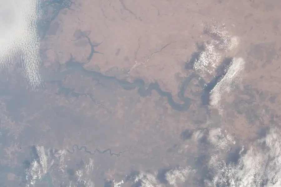
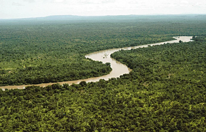
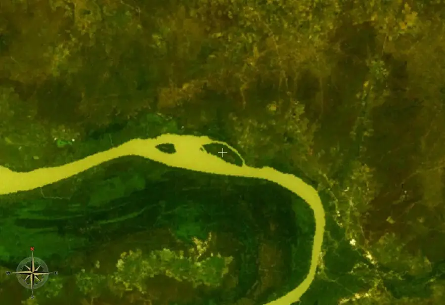
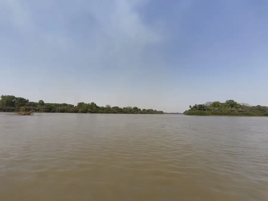
The Nianija Hills in the Central River Division of The Gambia are a group of gentle elevations that characterize the otherwise flat terrain of the Nianija District. These hills consist primarily of sandy loam and weathered rock, shaped by tectonic uplifts and subsequent erosion. They serve as an important watershed between the Gambia River and smaller seasonal tributaries. The hilltops are often covered with dense grasses, while the slopes are utilized for the terraced cultivation of grains. In the history of the region, the hills played a role as retreats and defensive points for local tribes. Today, they are a symbol of the region's agricultural resilience, providing fertile soil despite the prevailing aridity. The panoramic view from the Nianija Hills allows for a broad outlook over the lowland rice fields and the dense gallery forests along the riverbanks.
- Location: Gambia
- Nearby: River Gambia National Park (Baboon Islands) (16 km)
Best time to visit & climate
The most pleasant time to visit is Jan, Nov, Dec.
| Jan | Feb | Mar | Apr | May | Jun | Jul | Aug | Sep | Oct | Nov | Dec | |
|---|---|---|---|---|---|---|---|---|---|---|---|---|
| Avg °C | 25 | 27 | 30 | 32 | 33 | 32 | 29 | 27 | 27 | 28 | 27 | 25 |
| Rain mm | 1 | 0 | 1 | 0 | 3 | 59 | 142 | 251 | 184 | 53 | 3 | 0 |
📋 Practical info
Geography
Facts
- Located in the Nianija District of the Central River Division.
- Maximum height is approximately 45 meters.
- Soils are rich in organic matter within the valley basins.
- Significant area for regional pearl millet production.
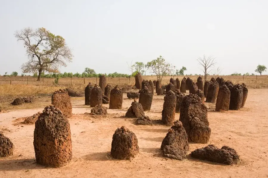
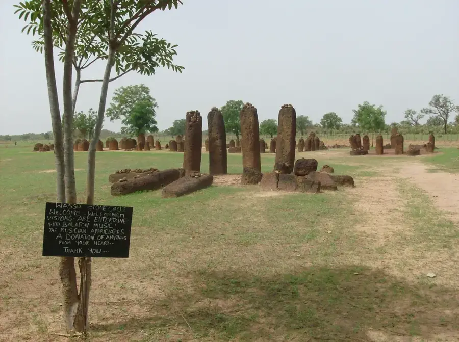
- Historically associated with the former Niani Kingdom.
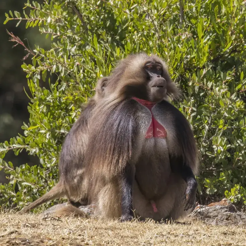
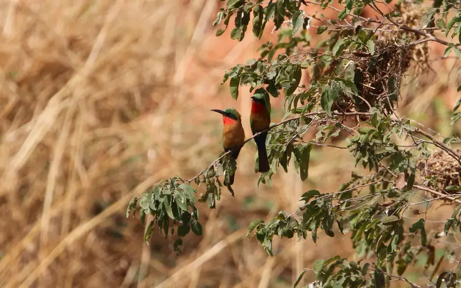
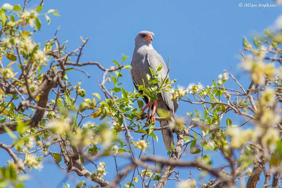
- Provides habitat for various birds of prey.
Explore nearby
Notable places around
Route planner — Car & Motorhome
Where do you start? We build the route here, with stops and country notes along the way.
© OpenStreetMap contributors · OpenRouteService
Sights in the town Nianija Hills (1)
Sights nearby
Frequently asked questions
What are the Nianija Hills?
Are the hills suitable for mountain tours?
What plants can be found there?
Are there water sources nearby?
Is the trip worth it for photographers?
Nianija Hills: where is it located?
Nianija Hills: when is the best time to visit?
Nianija Hills: why is it worth visiting?

Nearby cities


History & landmarks

More places