Plizio Visual Lab
Ndendé
ℹ️Practical info — Ndendé
▾
🌤 Weather — 5 days
📍 Nearby
Sights nearby
💡 Tips
- Ndendé is a major crossroads town (N1 and N6); expect a transient atmosphere with many travelers.
- If heading to the Congo border, ensure all your documents are in order beforehand, as processes can be slow.
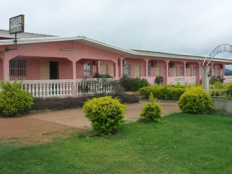
- Accommodation is basic and limited; book ahead or arrive early in the day.
- The dry season is extremely dusty due to passing trucks; keep a scarf handy.
🍽 Food
Hearty meals of grilled meat and rice catering to passing truck drivers.
Peanut soup with meat or fish, a comforting dish after a long journey.
A quick, warm snack available from street corners.
🛍 Shopping · 🧘 Quiet spots
Sells a mix of local Gabonese produce and goods from across the southern border.
Small shops around the main junction are best for bottled water and non-perishable snacks.
Walk a few blocks away from the main highway intersection to find quieter residential areas.
The grounds of local churches often provide a shaded, calm environment.
Water temperature…
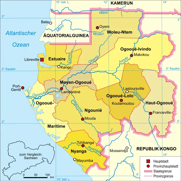
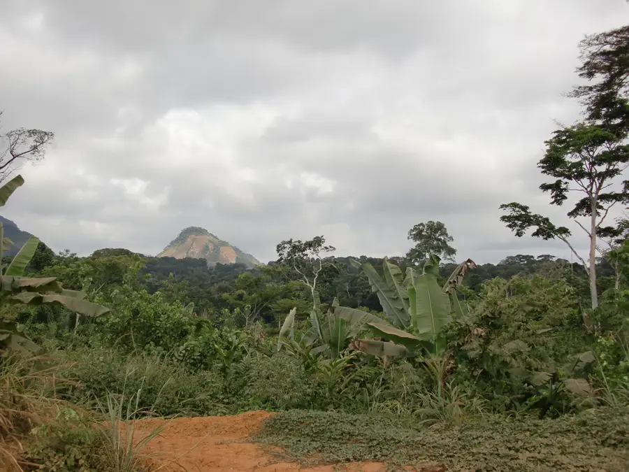
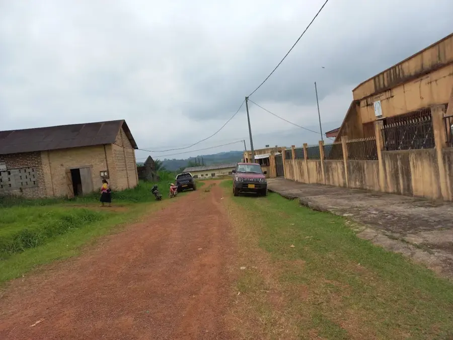
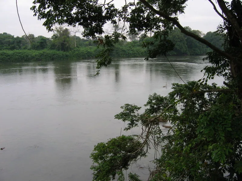
Ndendé is a strategic border town in southern Gabon, located in the Ngounié Province near the frontier with the Republic of the Congo. The town serves as the administrative capital of the Dola Department and is a critical transportation hub where the N1 and N6 national highways meet. Due to this location, Ndendé plays a central role in cross-border trade and acts as a major collection point for agricultural products from the surrounding region. The landscape around Ndendé differs significantly from the dense rainforests of the north, characterized by vast savannas that support livestock farming and large-scale agriculture. Historically, the region was an important point of contact between various ethnic groups and colonial influences from the neighboring Congo Basin. Today, the town is known for its lively market where goods from both countries are traded, making Ndendé a dynamic economic center in southern Gabon.
- Location: Gabon
- Nearby: Lebamba (26 km)
- Population: ~7.238 (2023)
Best time to visit & climate
The most pleasant time to visit is Jun–Aug.
| Jan | Feb | Mar | Apr | May | Jun | Jul | Aug | Sep | Oct | Nov | Dec | |
|---|---|---|---|---|---|---|---|---|---|---|---|---|
| Avg °C | 25 | 26 | 26 | 26 | 25 | 24 | 24 | 25 | 26 | 26 | 25 | 25 |
| Rain mm | 183 | 157 | 213 | 199 | 138 | 14 | 3 | 7 | 57 | 267 | 350 | 217 |
Geography
Facts
- Administrative center of the Dola Department.
- Major transport hub at the junction of highways N1 and N6.
- Located in close proximity to the Republic of the Congo border.
- Characterized by a unique savanna landscape environment.
- Primary center for cross-border trade and cattle ranching.
- Host to a significant regional market for agricultural goods.
Explore nearby
Notable places around
Route planner — Car & Motorhome
Where do you start? We build the route here, with stops and country notes along the way.
© OpenStreetMap contributors · OpenRouteService
Frequently asked questions
Where is Ndendé located?
What is the importance of Ndendé for travelers?
What can you see around Ndendé?
Is there public transport to Ndendé?
How are the road conditions in the south?
Ndendé: where is it located?
Ndendé: when is the best time to visit?
Ndendé: why is it worth visiting?

Nearby cities


Nature
More places