Plizio Visual Lab
Mount Mimongo
Weather…
Water temperature…
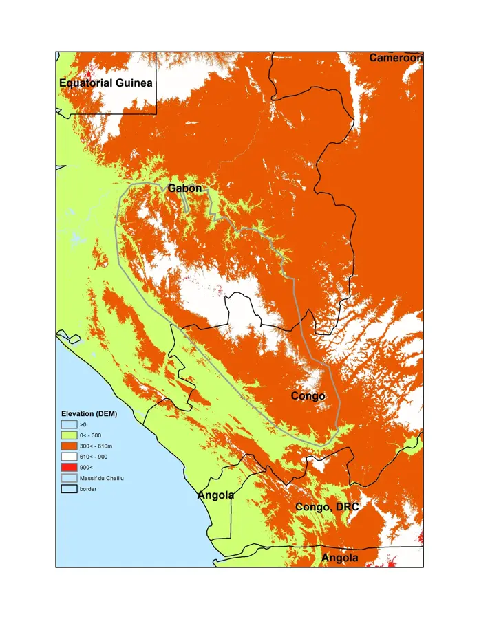
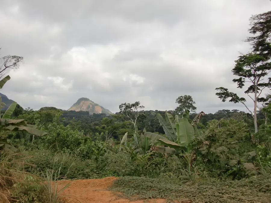
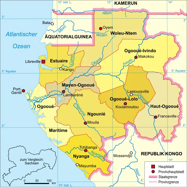
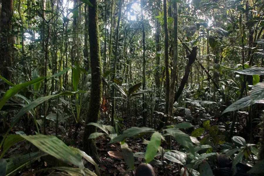
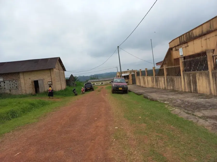
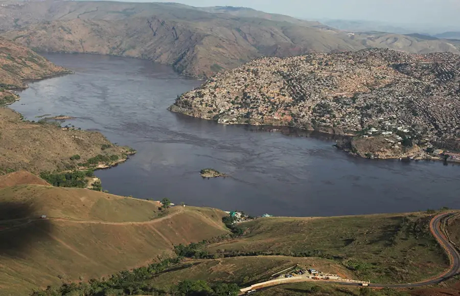
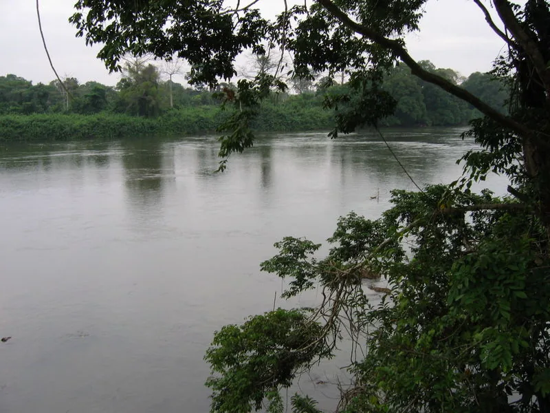
Mount Mimongo is a significant peak within the Chaillu Massif in south-central Gabon, located in the Ngounié Province near the town of the same name, Mimongo. Reaching an elevation of approximately 860 meters, it dominates the surrounding hilly landscape and is almost entirely covered by dense, primary rainforest. The region's climate is typically equatorial with a short dry season from June to August, during which the mountain is often shrouded in trade wind clouds. These climatic conditions promote high biodiversity and make the mountain an important site for ornithological studies, as many rare bird species of the Afrotropical region are native here. Historically, the area around Mount Mimongo was an important center for coffee and cocoa cultivation during the colonial era, with the mountain serving as a prominent landmark. Today, the mountain's significance lies primarily in its ecological function as a carbon sink and water regulator for the valleys of the Ngounié Province. The local Nzebi population traditionally uses the mountain slopes for shifting cultivation and the collection of non-timber forest products while preserving the mystical legends that surround the peak.
- Location: Gabon
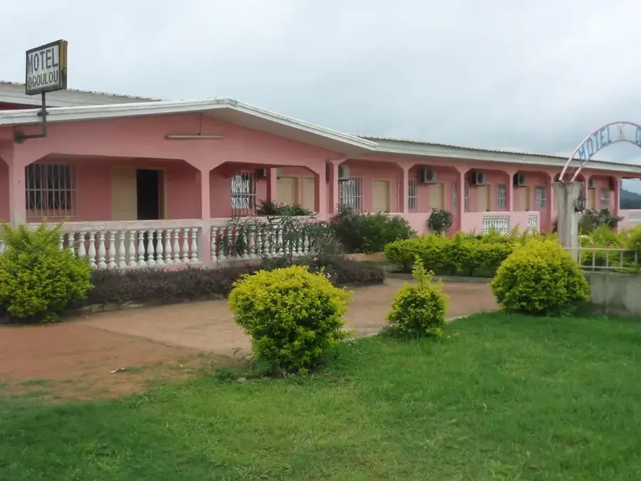
- Top sights: Ogoulou (department) · Mimongo
- Nearby: Iboundji (39 km)
Best time to visit & climate
The most pleasant time to visit is Jun–Aug.
| Jan | Feb | Mar | Apr | May | Jun | Jul | Aug | Sep | Oct | Nov | Dec | |
|---|---|---|---|---|---|---|---|---|---|---|---|---|
| Avg °C | 24 | 25 | 25 | 25 | 24 | 24 | 23 | 24 | 24 | 24 | 24 | 24 |
| Rain mm | 160 | 166 | 258 | 260 | 173 | 26 | 6 | 12 | 80 | 343 | 395 | 212 |
📋 Practical info
Geography
Facts
- Mount Mimongo reaches an elevation of exactly 860 meters.
- It is located about 450 kilometers southeast of the capital, Libreville.
- The average temperature in the Mimongo region is 24.5 °C.
- The mountain belongs to the geological formation of the Chaillu Massif.
- The annual rainfall amounts to an average of 1,950 mm.
- There are significant iron ore deposits in the surrounding area.
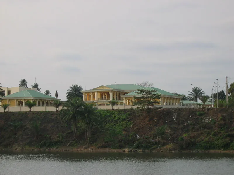
Explore nearby
Notable places around
Route planner — Car & Motorhome
Where do you start? We build the route here, with stops and country notes along the way.
© OpenStreetMap contributors · OpenRouteService
Sights in the town Mount Mimongo (2)
Sights nearby
Frequently asked questions
Where is Mont Mimongo located?
What is special about this mountain?
Can you climb the mountain?
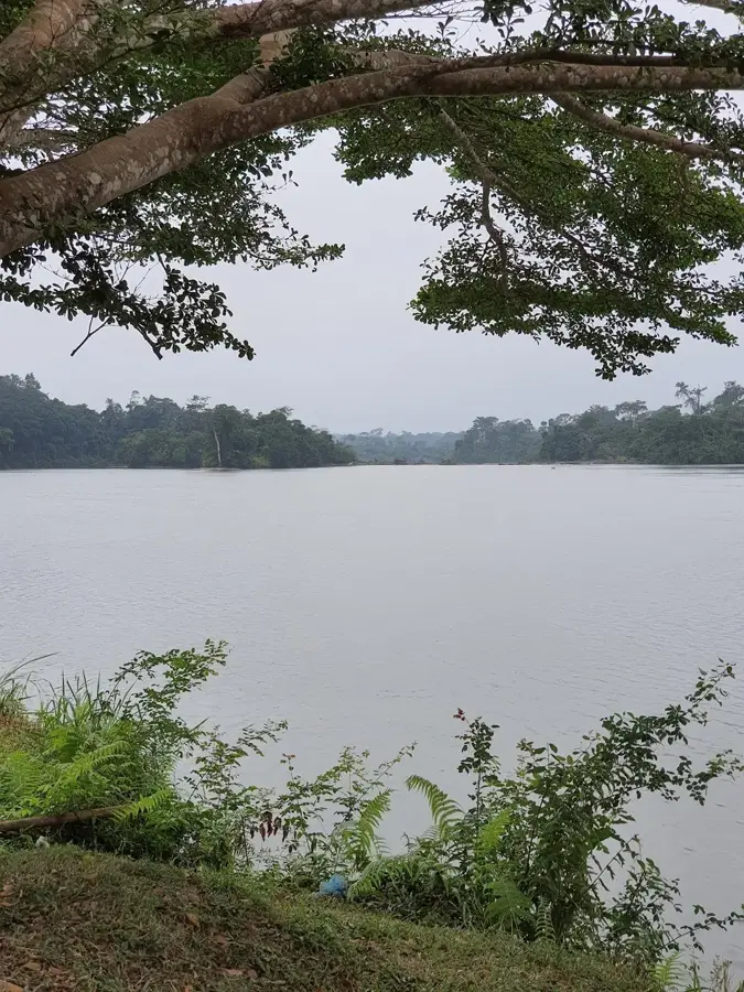
Are there rivers in the vicinity?
What is the weather like there?
Mount Mimongo: where is it located?
Mount Mimongo: what is there to see?
Mount Mimongo: when is the best time to visit?
Mount Mimongo: why is it worth visiting?

Nearby cities


Nature
More places