Plizio Visual Lab
Nyanga River
Weather…
Water temperature…
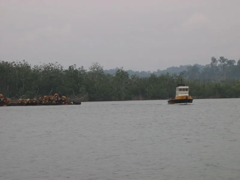
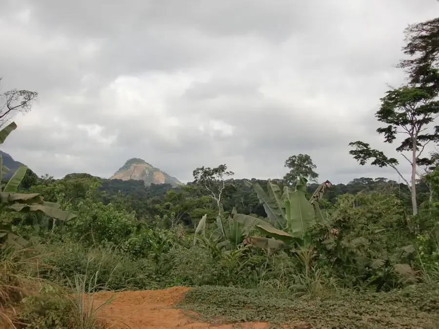
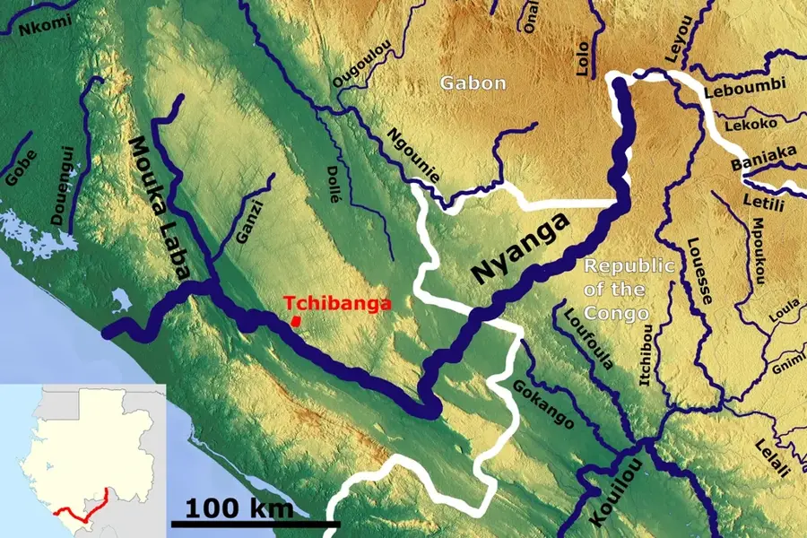
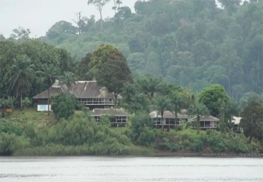
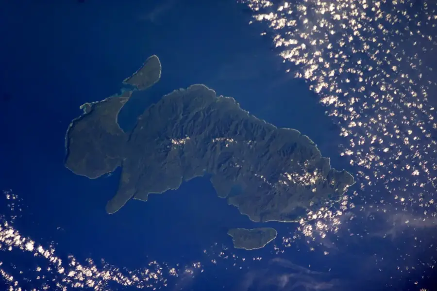
The Nyanga River, at approximately 600 kilometers long, is the second largest river in Gabon that flows directly into the Atlantic Ocean. It rises in the southern reaches of the Chaillu Massif and follows a unique path, dipping south into the Republic of the Congo before curving back northwest into southern Gabon. Its course traverses deep valleys and expansive floodplains that support a rich diversity of wildlife. At its mouth near the town of Mayumba, the river forms a complex estuary and lagoon system protected by the Mayumba National Park. The Nyanga region remains relatively sparsely populated, which has helped preserve its high degree of biological integrity. The river is a vital source of fish for local communities and is central to their traditional way of life. Geologically, the Nyanga Valley is distinguished by its significant limestone formations and associated cave systems.
- Location: Gabon
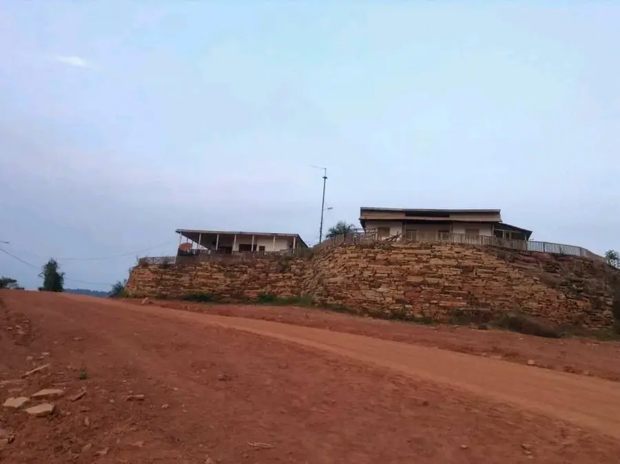
- Nearby: Tchibanga (9 km)
Best time to visit & climate
The most pleasant time to visit is Jun–Aug.
| Jan | Feb | Mar | Apr | May | Jun | Jul | Aug | Sep | Oct | Nov | Dec | |
|---|---|---|---|---|---|---|---|---|---|---|---|---|
| Avg °C | 25 | 25 | 25 | 25 | 25 | 24 | 23 | 24 | 25 | 25 | 25 | 25 |
| Rain mm | 186 | 150 | 179 | 157 | 109 | 7 | 2 | 5 | 40 | 193 | 280 | 207 |
📋 Practical info
Geography
Facts
- Second longest river in Gabon to empty directly into the ocean (~600 km).
- Sources in the Chaillu Massif near the Congolese border.
- The lower reaches are protected within Mayumba National Park.
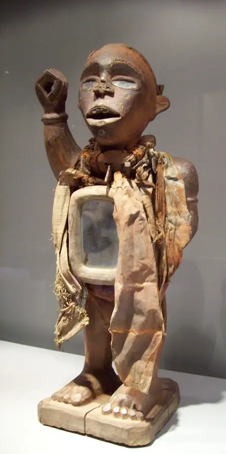
- The namesake for Nyanga, the southernmost province of Gabon.
- Renowned for its abundant stocks of tilapia and other edible fish.
- The Nyanga basin is home to significant limestone deposits.
Explore nearby
Notable places around
Route planner — Car & Motorhome
Where do you start? We build the route here, with stops and country notes along the way.
© OpenStreetMap contributors · OpenRouteService
Sights nearby
Frequently asked questions
Where does the Nyanga River flow?
Does the Nyanga flow into the Ogooué?
Are there crocodiles in the Nyanga River?
What is the water of the Nyanga River like?
Can you observe birds by the Nyanga River?
Nyanga River: where is it located?
Nyanga River: when is the best time to visit?
Nyanga River: why is it worth visiting?

Nearby cities
More places