Plizio Visual Lab
Fougamou
ℹ️Practical info — Fougamou
▾
🌤 Weather — 5 days
📍 Nearby
Sights nearby
💡 Tips
- Roads get very muddy in the rainy season; a 4x4 vehicle is highly recommended.
- Always book local guides in advance if you plan to venture into the nearby jungle.
- Mosquito repellent is essential; wear long, light-colored clothing in the evenings.
- Respect the local environment and stick to the trails when walking near the river.
🍽 Food
Chicken cooked in palm nut sauce, the national dish. Found in most local eateries.
Enjoy fresh catch from the Ngounié River at small restaurants near the water.
A classic starchy side dish often sold by street vendors as a quick snack.
🛍 Shopping · 🧘 Quiet spots
The best place to find fresh, locally grown tropical fruits.
Look out for small artisan shops selling traditional Gabonese woodwork and crafts.
A peaceful spot for a quiet stroll and some bird or nature watching.
Take a short, relaxing walk on the outskirts of the dense forests, especially in the early morning.
Water temperature…
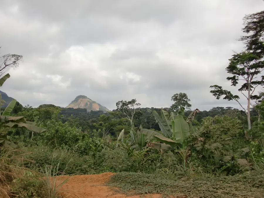
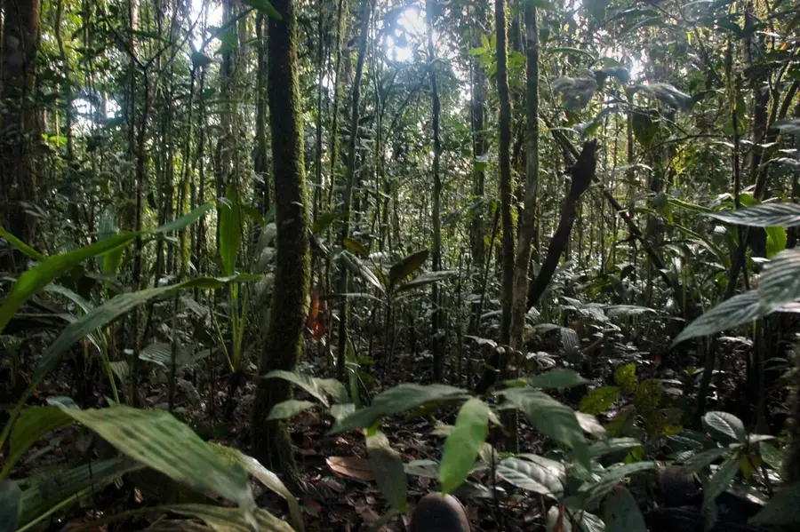
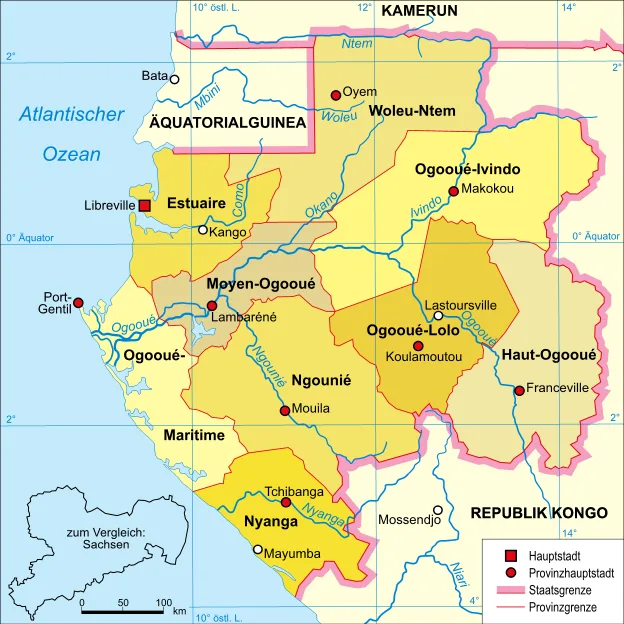
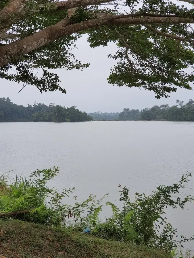
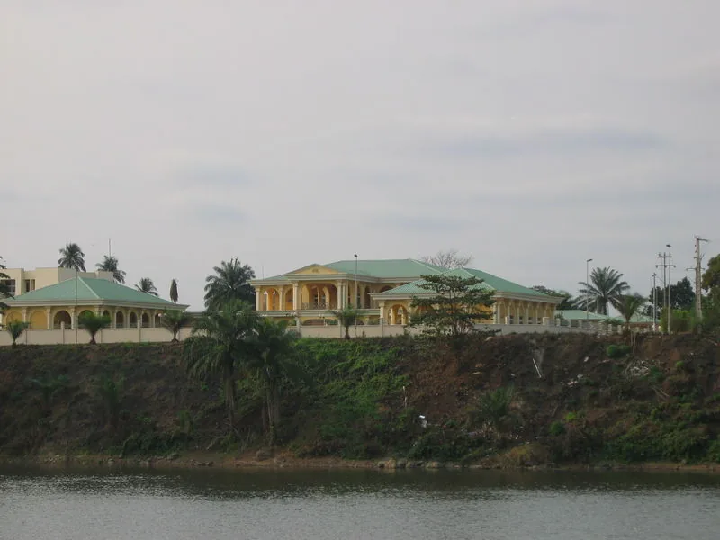
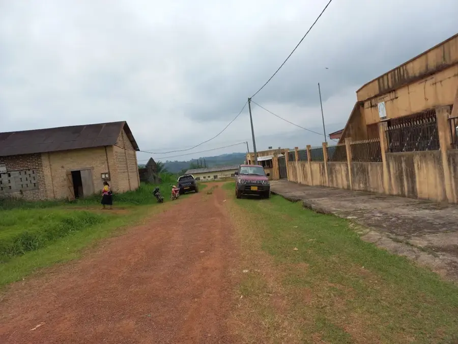
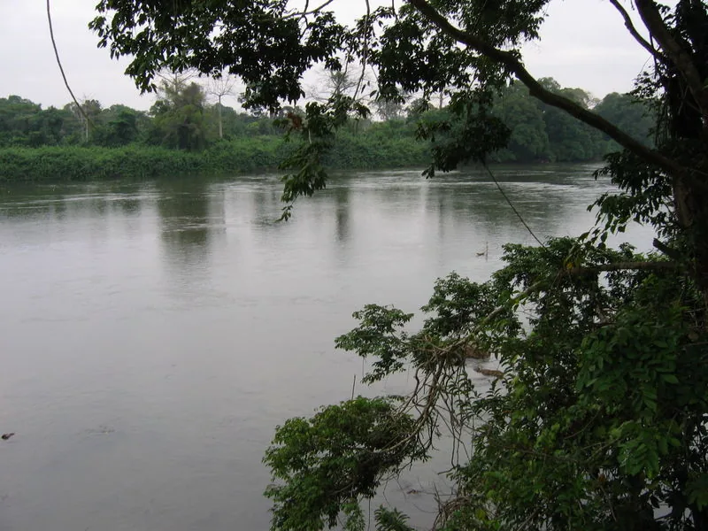
Fougamou is a town in the Ngounié Province of central Gabon, serving as the administrative seat of the Tsamba-Magotsi Department. The town is situated on the banks of the Ngounié River, one of the Ogooué's largest tributaries, and is a key junction on the N1 national highway connecting Libreville with the southern part of the country. One of the most famous attractions in the immediate vicinity is the Samba Falls (Chutes de Samba), which are not only visually impressive but also possess significant potential for hydroelectric power generation. Historically, Fougamou was a center for early colonial logging, as the river allowed for the easy transport of massive timber logs downstream. The town's modern economy remains heavily dependent on forestry and trade, while also benefiting from its role as a rest stop for travelers. The region is surrounded by the hilly foothills of the Du Chaillu Massif, giving the town a unique and characteristic topography.
- Location: Gabon
- Nearby: Mandji (40 km)
- Population: ~8.629 (2023)
Best time to visit & climate
The most pleasant time to visit is Jun–Aug.
| Jan | Feb | Mar | Apr | May | Jun | Jul | Aug | Sep | Oct | Nov | Dec | |
|---|---|---|---|---|---|---|---|---|---|---|---|---|
| Avg °C | 26 | 26 | 26 | 26 | 26 | 25 | 24 | 24 | 25 | 25 | 25 | 25 |
| Rain mm | 173 | 176 | 272 | 277 | 187 | 30 | 5 | 10 | 79 | 351 | 404 | 226 |
Geography
Facts
- Administrative headquarters of the Tsamba-Magotsi Department.
- Located on the Ngounié River, a major tributary of the Ogooué.
- Home to the Samba Falls, a site for potential hydroelectricity.
- Strategic junction on the N1 national highway.
- Historically significant center for the Gabonese timber trade.
- Surrounded by the scenic foothills of the Du Chaillu Massif.
Explore nearby
Notable places around
Route planner — Car & Motorhome
Where do you start? We build the route here, with stops and country notes along the way.
© OpenStreetMap contributors · OpenRouteService
Sights in the town Fougamou (1)
Frequently asked questions
What sight is there near Fougamou?
On which main road is Fougamou located?
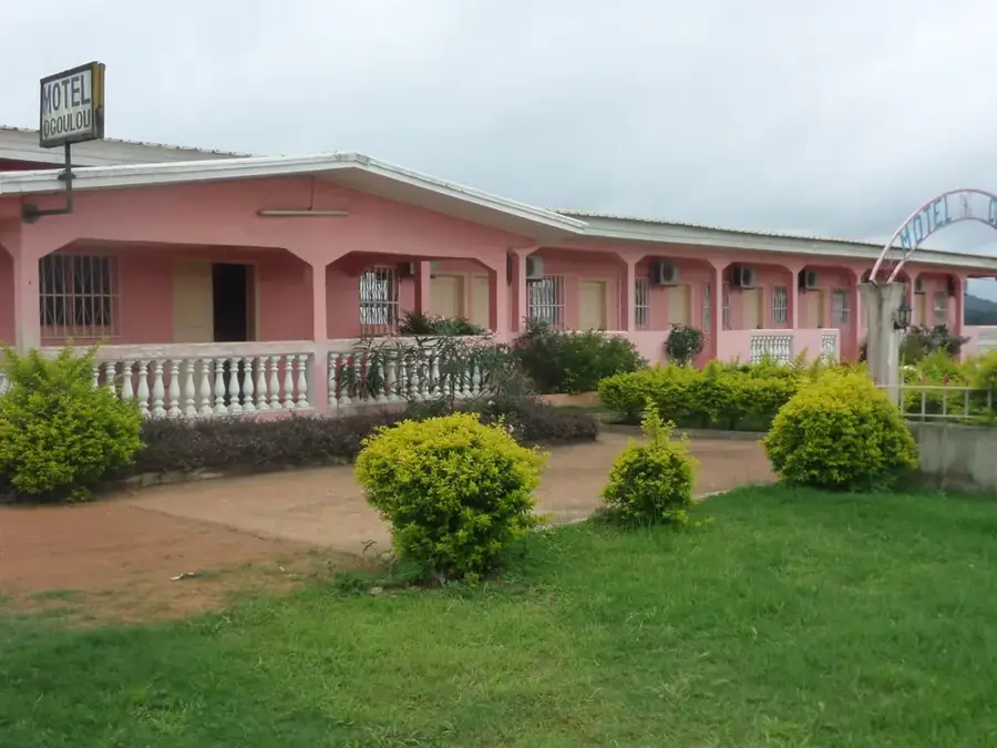
Are there hotels in Fougamou?
What is the economic basis of the town?
Can you swim in the river?
Fougamou: where is it located?
Fougamou: when is the best time to visit?
Fougamou: why is it worth visiting?

Nearby cities

Nature
More places