Plizio Visual Lab
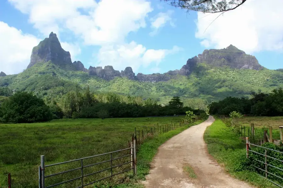
Mount Pahia
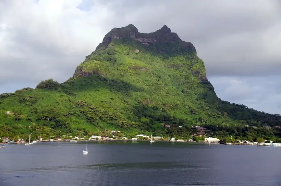
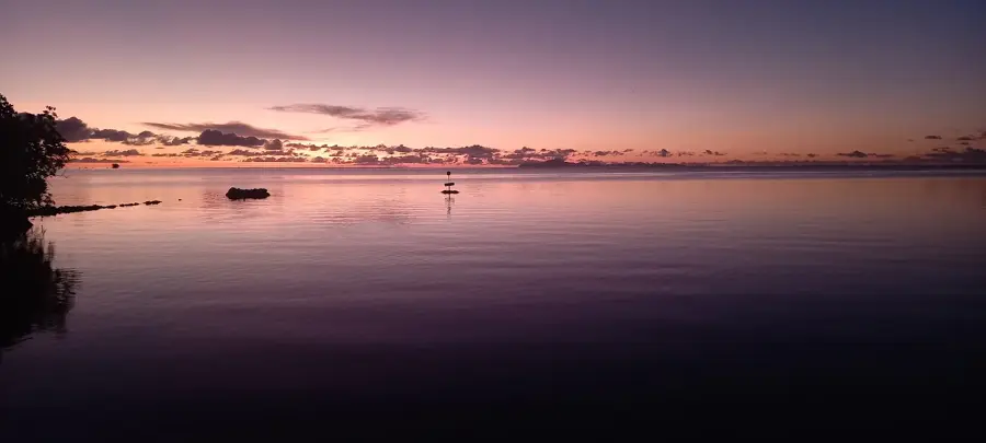
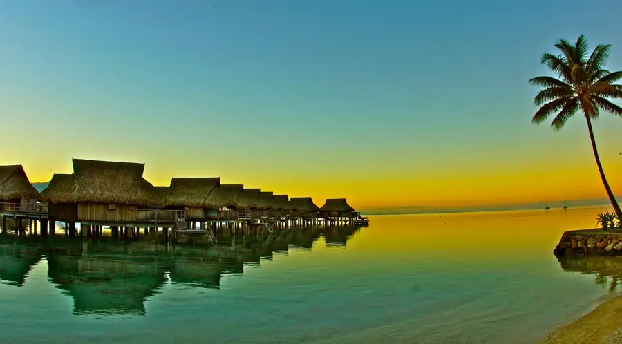
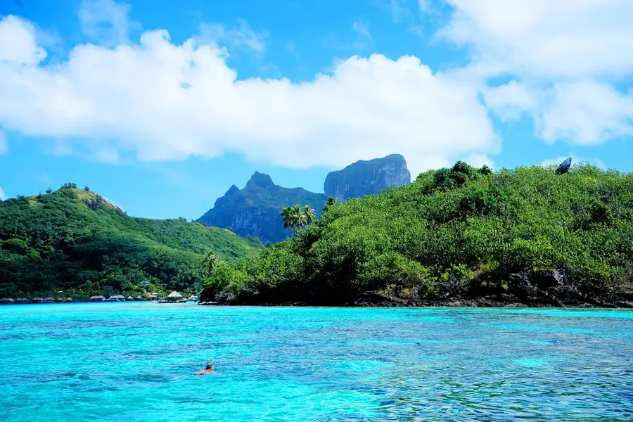
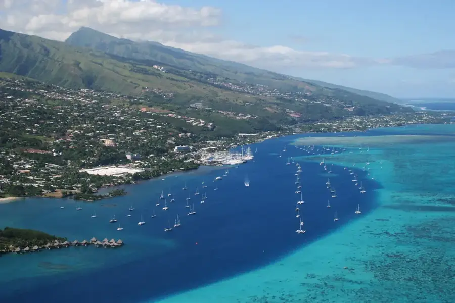
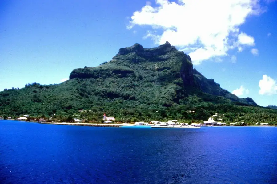
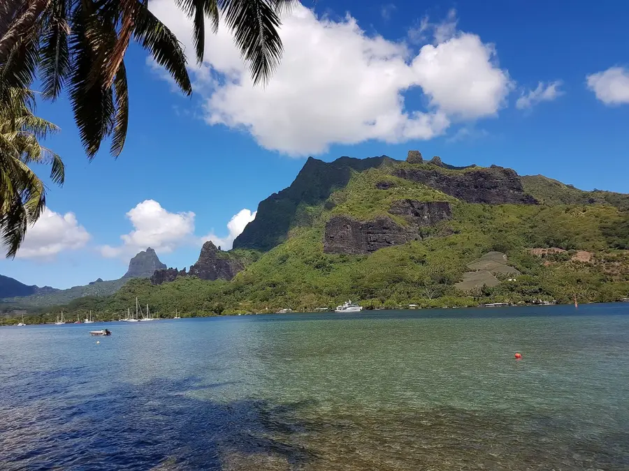
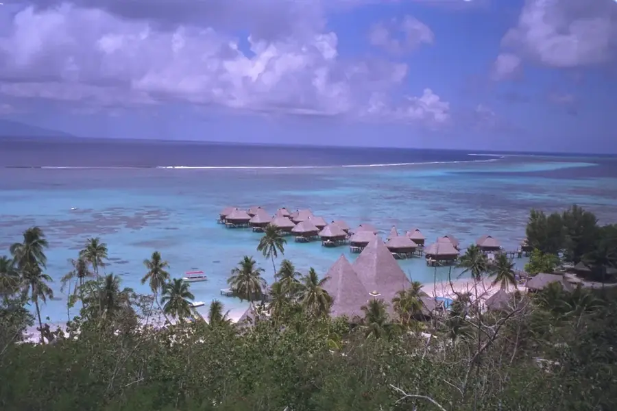
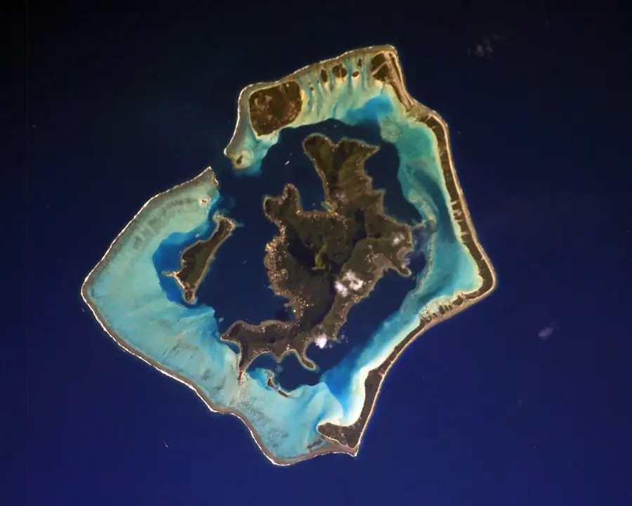
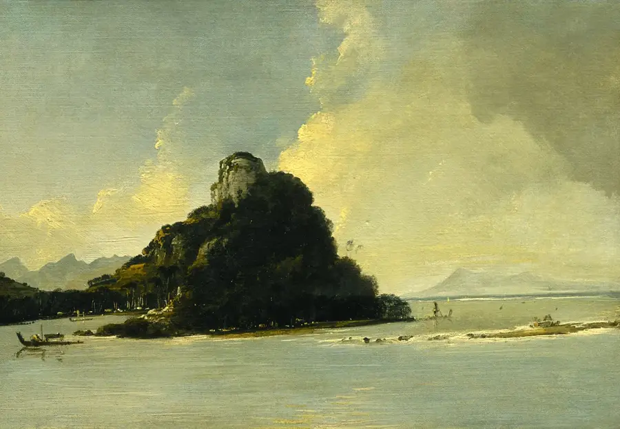
Mount Pahia, standing at 661 meters, is the second highest summit on the legendary island of Bora Bora. Known for its iconic twin peaks, this massive volcanic formation has a more accessible, albeit highly challenging, alternative to the unclimbable Mount Otemanu. The ascent is a rigorous journey through dense tropical rainforest, where hikers must navigate steep inclines, tangled roots, and occasionally use ropes for support. Geologically, the mountain is composed of solid basalt and phonolite, remnants of the massive shield volcano that formed the island millions of years ago. The effort to reach the top is rewarded with what many consider the best view in the world: a complete 360-degree panorama of Bora Bora's world-famous turquoise lagoon, its surrounding coral motus, and the vast Pacific Ocean. On clear days, the distant silhouettes of neighboring islands like Maupiti and Raiatea are visible on the horizon. This trek is not for the faint-hearted, requiring excellent physical condition and a local guide, but it stands as the ultimate achievement for outdoor enthusiasts visiting French Polynesia.
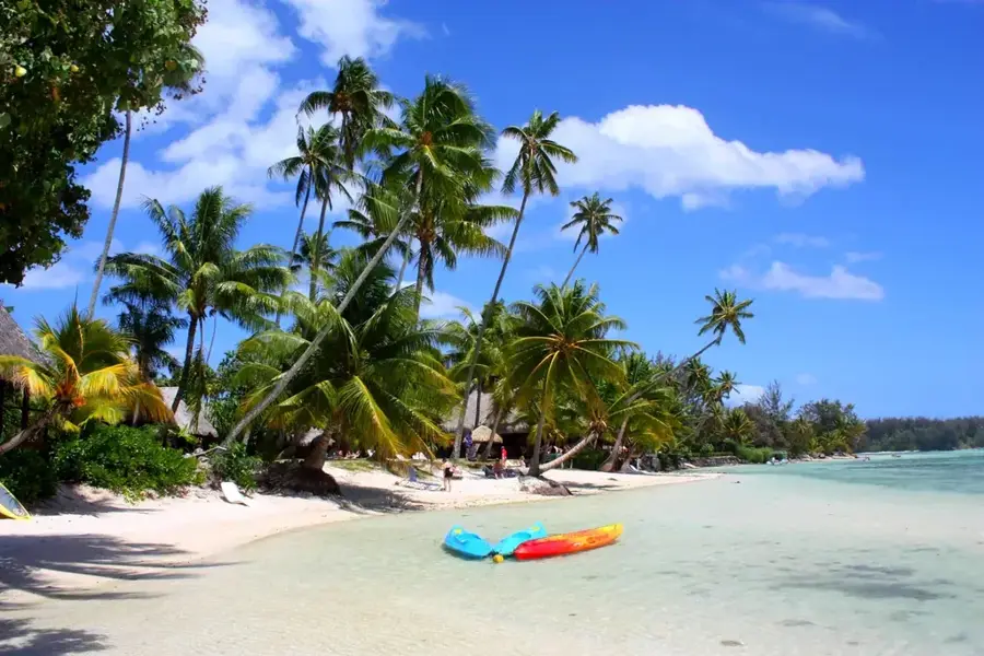
- Location: French Polynesia
- Top sights: Église Saint-Pierre-Célestin · Evangelist Church · Point de vue des falaises
- Nearby: Anau (5 km)
Best time to visit & climate
The most pleasant time to visit is Jul–Sep.
| Jan | Feb | Mar | Apr | May | Jun | Jul | Aug | Sep | Oct | Nov | Dec | |
|---|---|---|---|---|---|---|---|---|---|---|---|---|
| Avg °C | 28 | 28 | 28 | 28 | 27 | 27 | 26 | 26 | 26 | 26 | 27 | 27 |
| Rain mm | 198 | 174 | 142 | 118 | 93 | 60 | 42 | 42 | 34 | 72 | 111 | 216 |
📋 Practical info
Geography
Facts
- Elevation of 661 metres above sea level
- Second highest point on the island of Bora Bora
- Geologically part of an extinct shield volcano
- The ascent takes approximately 4 to 6 hours
- Views extend to Maupiti and Tahaa islands
- Trail involves sections requiring fixed ropes
Explore nearby
Notable places around
Route planner — Car & Motorhome
Where do you start? We build the route here, with stops and country notes along the way.
© OpenStreetMap contributors · OpenRouteService
Sights in the town Mount Pahia (10)
Ohue
Viewpoint overlooking the lagoon and surrounding islands.
Pahia
Mountain on Bora Bora, a peak with steep slopes.
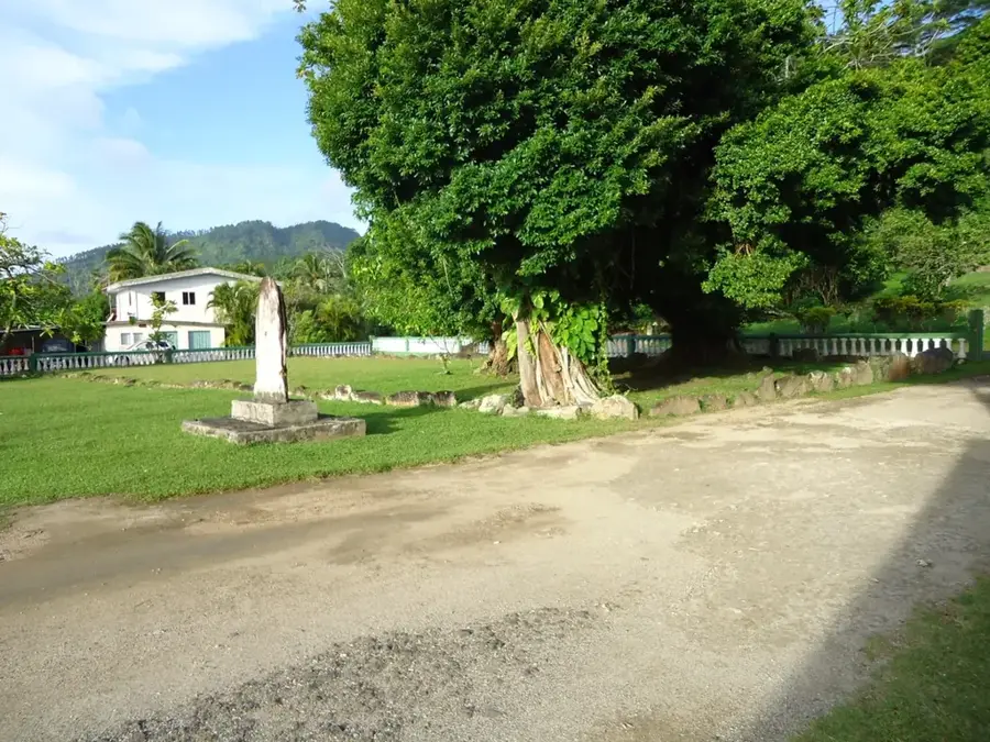
Marae Vai'otaha
Archaeological site, a traditional Polynesian ceremonial ground.
Marae Taianapa
Archaeological site, an ancient Polynesian open-air cult place.
Vieux Canons Américains
Ruins of old American cannons from World War II.
Marae
Archaeological site, an ancient Polynesian open-air cult place.
Sights nearby
Frequently asked questions
Is Mount Pahia open to hikers?
How long does the climb take?
Is the trail family-friendly?
Do I need special equipment?
Is there parking?
Mount Pahia: where is it located?
Mount Pahia: what is there to see?
Mount Pahia: when is the best time to visit?
Mount Pahia: why is it worth visiting?

Nearby cities

History & landmarks

Nature

More places