Plizio Visual Lab
Ventoux Massif
Weather…
Water temperature…
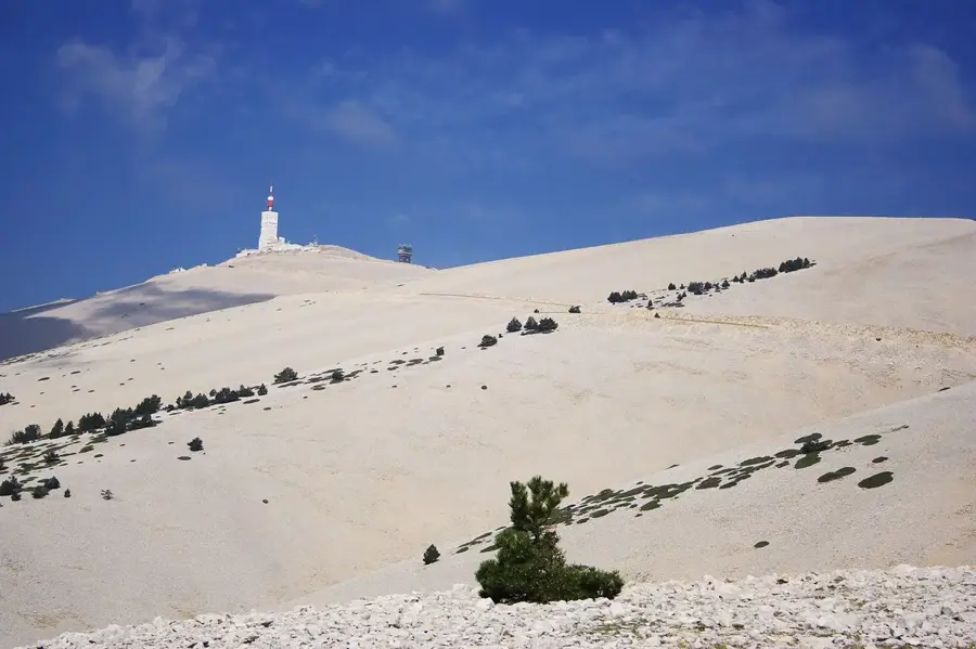
The Mont Ventoux massif, widely known as the 'Giant of Provence,' is a limestone mountain in southeastern France that reaches a height of 1,912 meters. Standing isolated from the main Alpine chain, it towers over the Comtat Venaissin plain, creating its own distinct weather patterns. Its name reflects the fierce winds that buffet the summit, with the Mistral occasionally reaching record speeds of over 300 km/h. The upper slopes are strikingly barren, covered in white limestone scree that gives the peak a snow-capped appearance even in summer. This stark landscape belies an extraordinary ecological richness; the mountain transitions from Mediterranean vineyards at its base to sub-arctic flora at the summit, leading to its designation as a UNESCO Biosphere Reserve in 1990. Mont Ventoux holds a legendary status in both literature and sports, marking the site of Francesco Petrarch's pioneering ascent in 1336 and serving as one of the most grueling and iconic climbs in the history of the Tour de France cycling race.
- Location: Provence-Alpes-Côte d'Azur, France
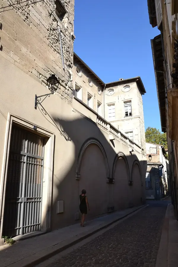
- Top sights: Réserve de biosphère du Mont Ventoux (zone centrale) · Mont Serein · Jas du Mian (incertain)
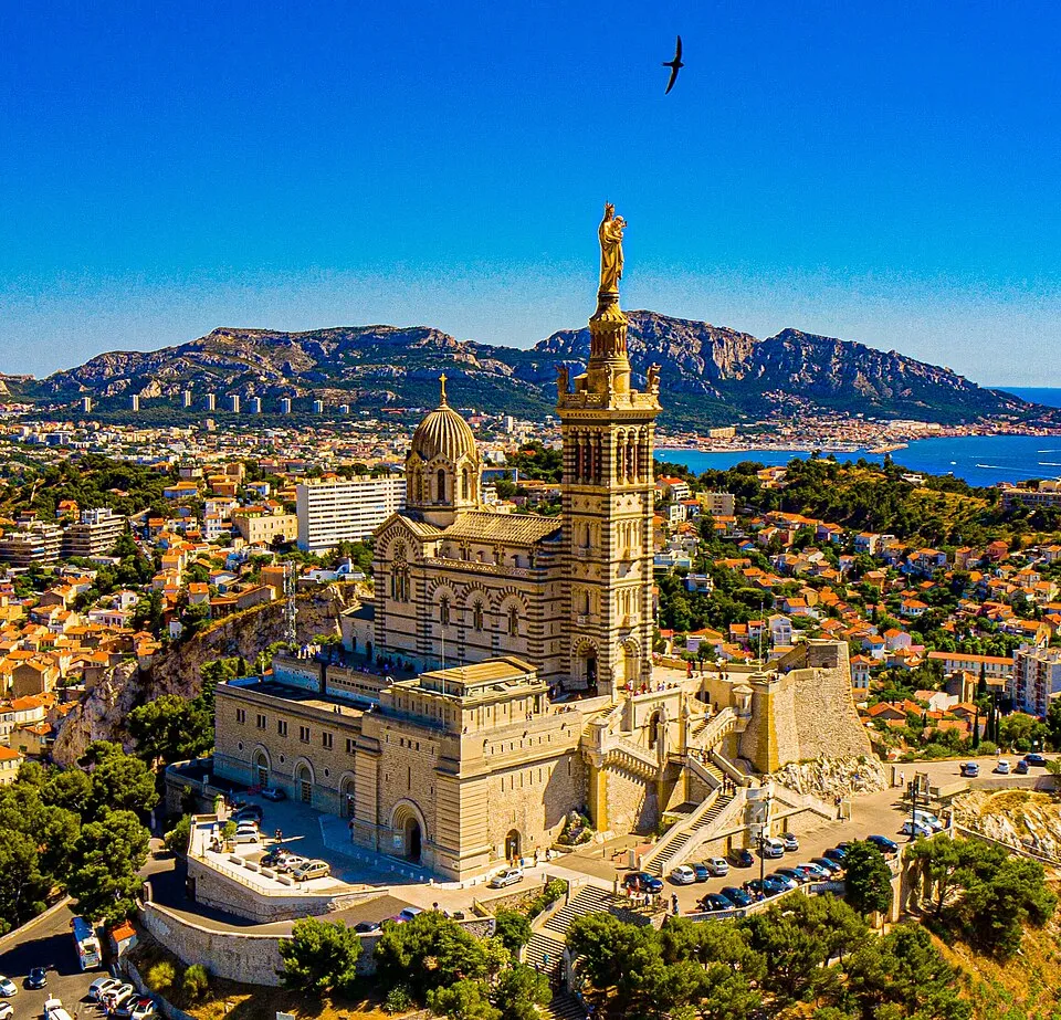
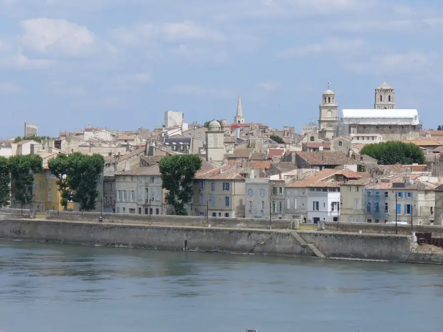
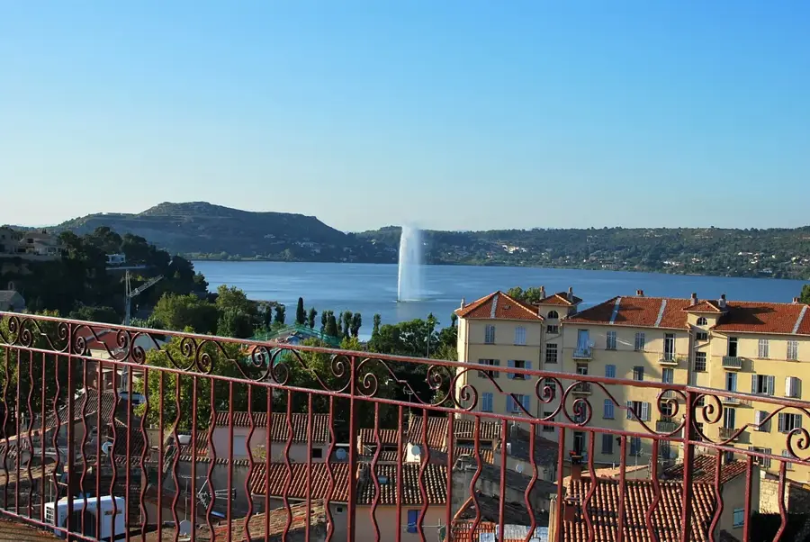
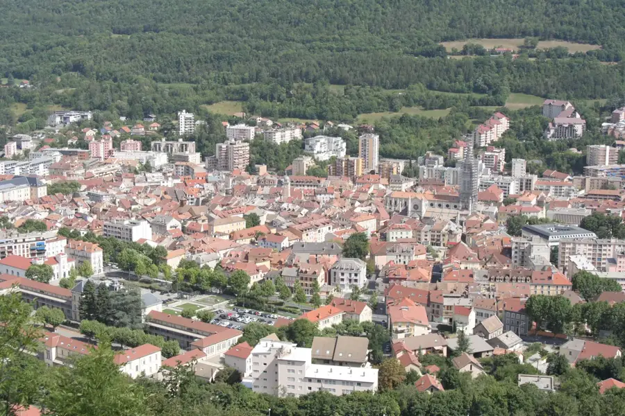
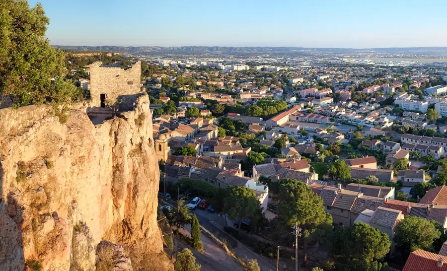
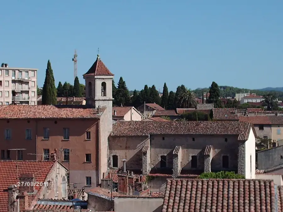
- Nearby: Mazan (17 km)
Best time to visit & climate
The most pleasant time to visit is Jun–Aug.
| Jan | Feb | Mar | Apr | May | Jun | Jul | Aug | Sep | Oct | Nov | Dec | |
|---|---|---|---|---|---|---|---|---|---|---|---|---|
| Avg °C | 2 | 3 | 6 | 10 | 14 | 20 | 23 | 22 | 17 | 13 | 7 | 3 |
| Rain mm | 47 | 40 | 45 | 54 | 60 | 41 | 24 | 31 | 56 | 79 | 98 | 57 |
📋 Practical info
Geography
Facts
- Mont Ventoux stands at 1,912 meters above sea level.
- The wind speed exceeded 300 km/h during storms in 1967 and 1990.
- The mountain hosts all major European bioclimatic zones.
- Francesco Petrarch climbed it on April 26, 1336, with his brother.
- It is part of the Ventoux-Lure UNESCO Biosphere Reserve since 1990.
- The summit temperature rarely exceeds 18°C even in the height of summer.
Explore nearby
Notable places around
Route planner — Car & Motorhome
Where do you start? We build the route here, with stops and country notes along the way.
© OpenStreetMap contributors · OpenRouteService
Sights in the town Ventoux Massif (3)
Sights nearby
Frequently asked questions
What distinguishes the massif from Mont Ventoux itself?
Does the area belong to the UNESCO program?
What flora can be found in the lower elevations?
Are there hiking trails for families there?
Can you go mountain biking in the massif?
Ventoux Massif: where is it located?
Ventoux Massif: what is there to see?
Ventoux Massif: when is the best time to visit?
Ventoux Massif: why is it worth visiting?

Nearby cities