Music Festival in Saint-Macaire
Come celebrate music with concerts and performances in Saint-Macaire!
Plizio Visual Lab
Try these traditional oven-baked breads stuffed with rillettes or mushrooms, often found at local festivals or traditional bakeries.
Look for restaurants near the Sèvre Nantaise serving local freshwater fish dishes.
Pair your meals with a crisp local Anjou white or rosé, available in most village bistros.
Visit the weekly morning markets in Saint-Macaire-en-Mauges for fresh regional produce and local honey.
The Mauges region has a history of shoe manufacturing; look for local factory shops offering quality leather goods.
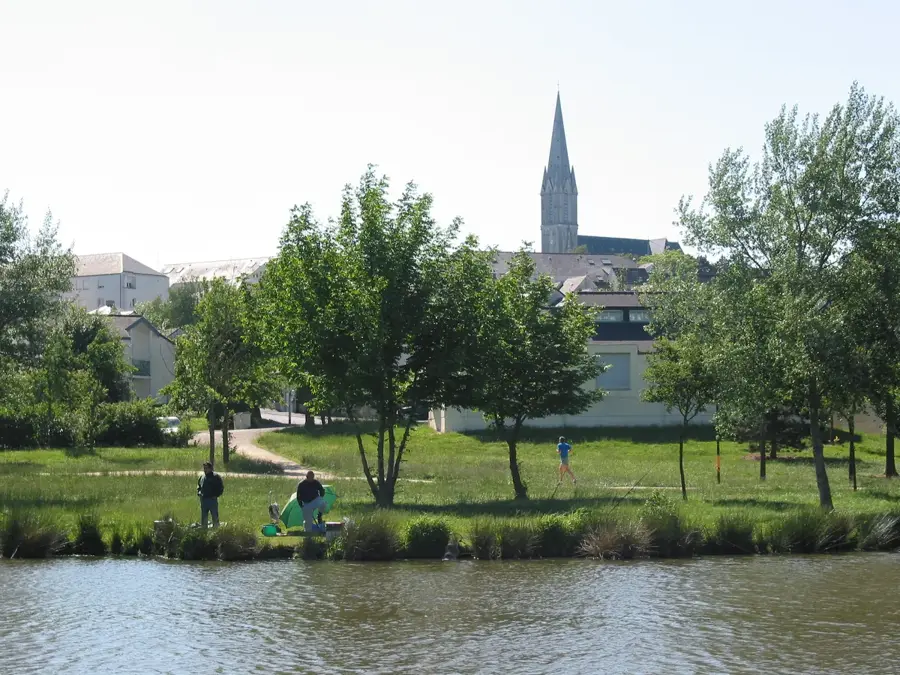
Enjoy peaceful walks or a picnic along the wooded banks of the Sèvre Nantaise river.
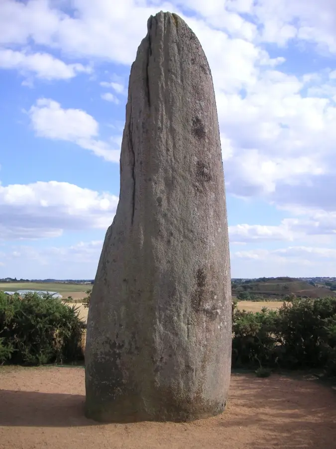
A tranquil, slightly hidden prehistoric standing stone surrounded by fields.
Water temperature…
Come celebrate music with concerts and performances in Saint-Macaire!
Fireworks, music, popular dance, and local food at this festival between Nantes and Cholet.
Attend the sixth edition of this vibrant theater festival featuring diverse stage performances in Sèvremoine.
A unique and fresh event at the Saint-André pond, carrying forward the creative spirit of Sundance.
Delightful pony rides for children at the Famille Mary market in a charming honey farm setting.
Join the traditional hike in Roussay held during the 27th edition of the Pumpkin Market.
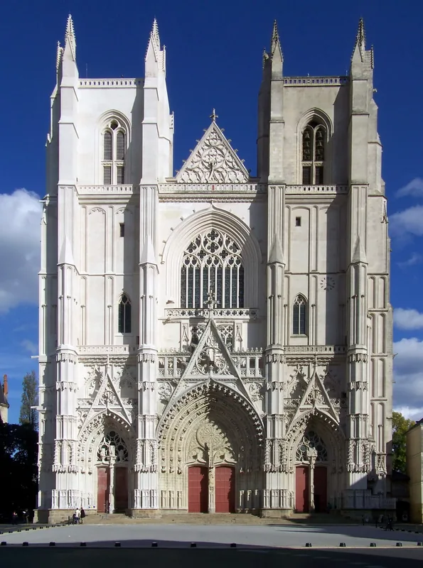
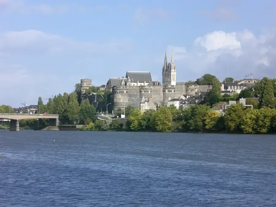
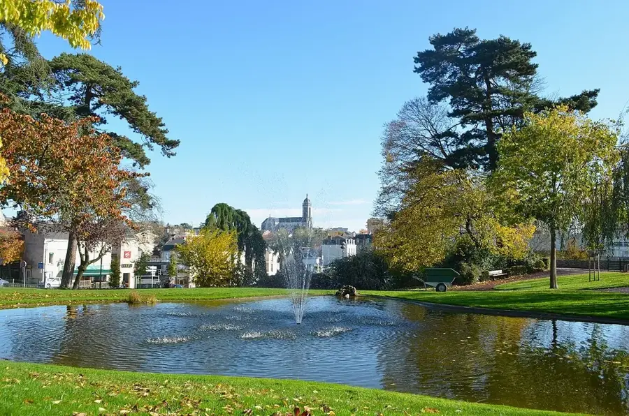
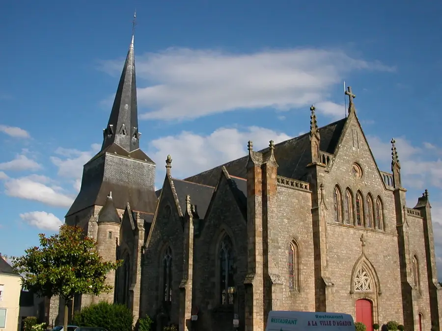
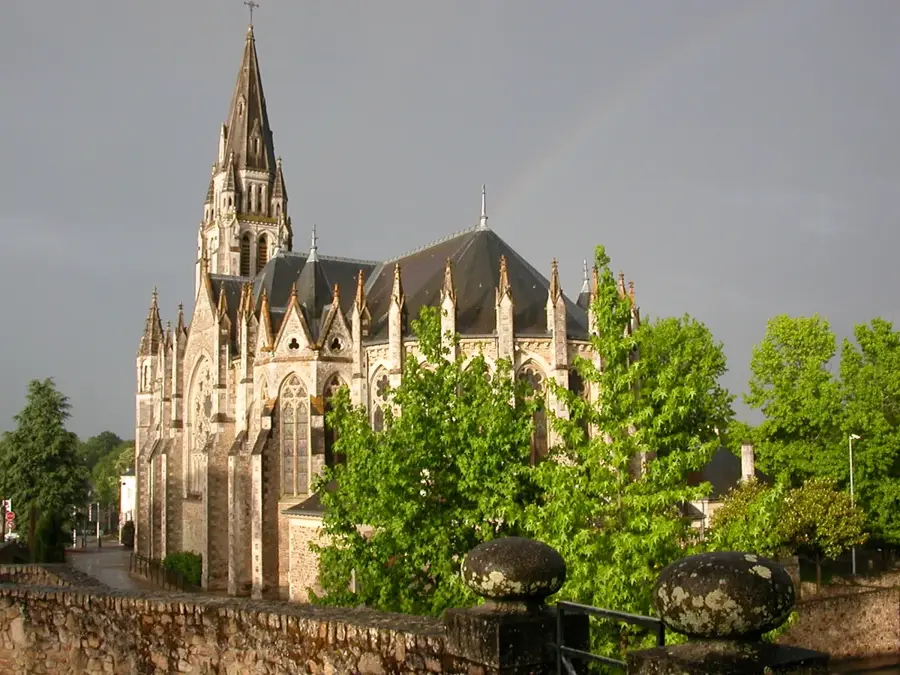
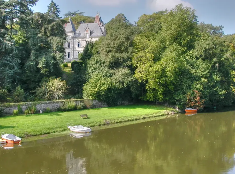
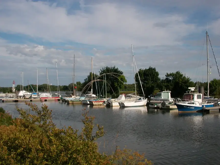
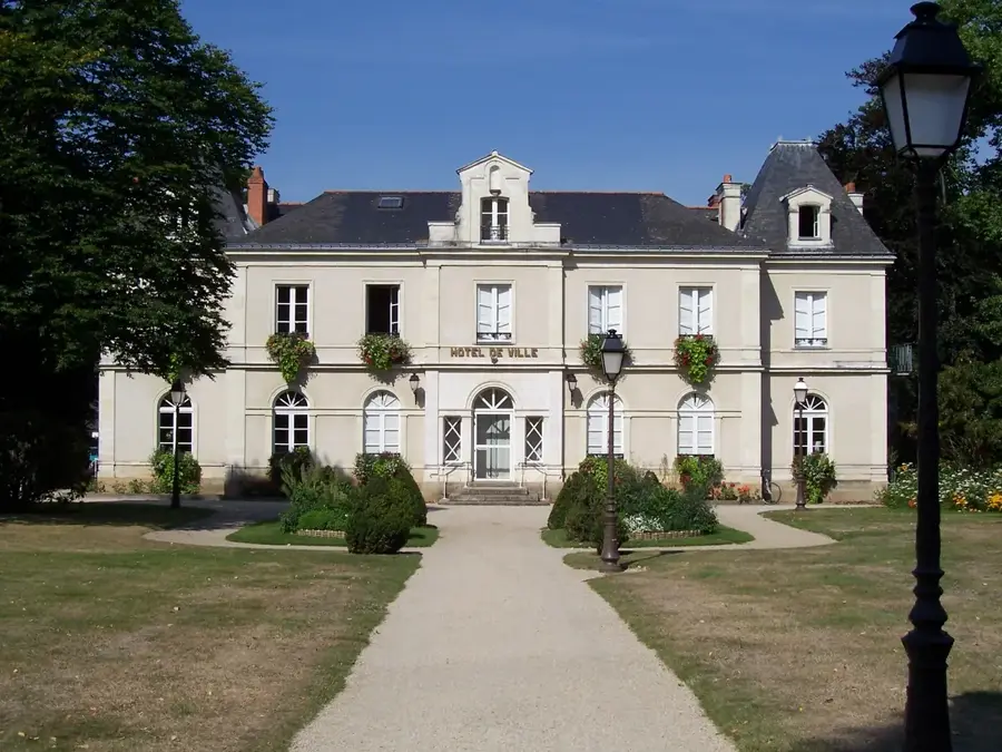
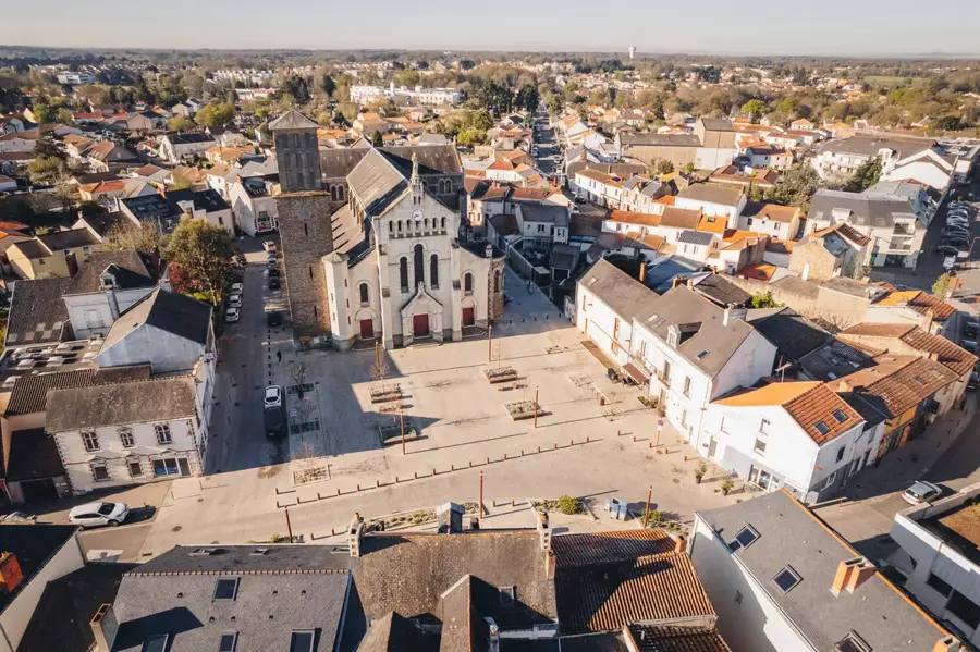
Sèvremoine is a sprawling municipality in the Maine-et-Loire department, established in 2015 through the merger of ten villages in the historic Mauges region. The area is deeply rooted in industrial history, having served as a prominent hub for French textile and shoe manufacturing. Today, the landscape is defined by the winding paths of the Moine and Sèvre Nantaise rivers, which cut through rolling hills and dense woodlands. The riverbanks are lined with remnants of the past, including old water mills and sturdy stone bridges that once supported local trade. Villages like Saint-Macaire-en-Mauges retain the traditional Anjou architectural style, featuring characteristic slate roofs and light stone facades. Walking and cycling trails form an extensive network across the countryside, offering quiet routes for outdoor enthusiasts. Local weekly markets provide a chance to sample regional agricultural produce, highlighting the area's rural transition. Located just a short distance from Cholet, Sèvremoine serves as a peaceful retreat where visitors can explore a blend of manufacturing heritage and pristine natural valleys.
The most pleasant time to visit is Jun–Aug.
| Jan | Feb | Mar | Apr | May | Jun | Jul | Aug | Sep | Oct | Nov | Dec | |
|---|---|---|---|---|---|---|---|---|---|---|---|---|
| Avg °C | 5 | 5 | 8 | 11 | 14 | 17 | 19 | 19 | 16 | 13 | 9 | 6 |
| Rain mm | 84 | 65 | 69 | 54 | 65 | 52 | 52 | 52 | 45 | 83 | 88 | 92 |
Notable places around
Where do you start? We build the route here, with stops and country notes along the way.
© OpenStreetMap contributors · OpenRouteService