Plizio Visual Lab
Saint-Pierre-lès-Nemours
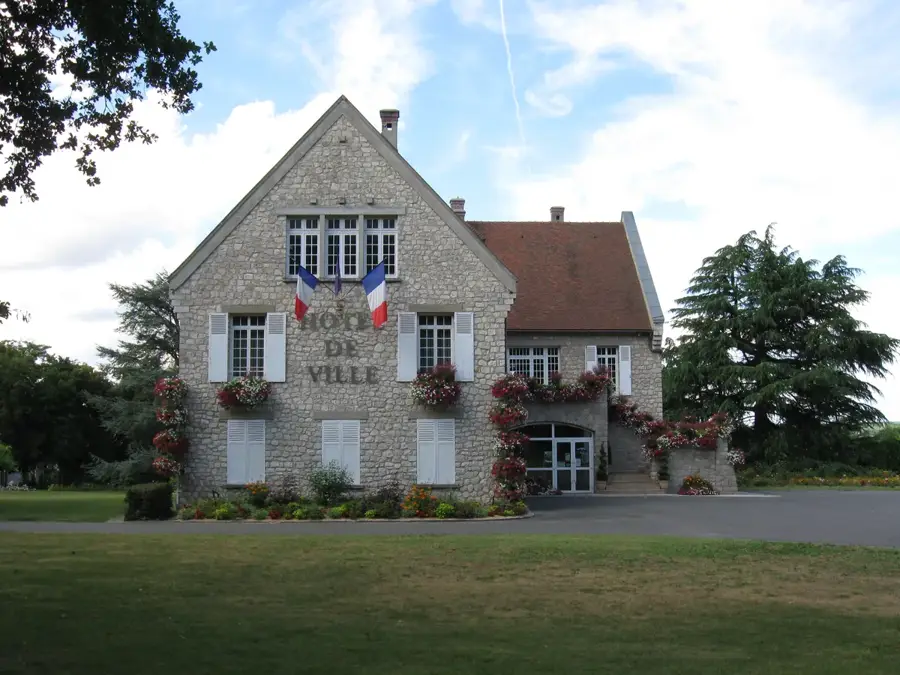
ℹ️Practical info — Saint-Pierre-lès-Nemours
▾
🌤 Weather — 5 days
📍 Nearby
Sights nearby
💡 Tips
- Wear sturdy shoes if you want to explore the rocky forest paths in the surroundings.
- The banks of the Loing river are excellent for a relaxing afternoon picnic.
- Take advantage of the direct train connection to Paris if you are planning a city day trip.
- Rent a canoe to view the lush green landscape from the water.
🍽 Food
Buy this strong, local cheese at the weekly market for your picnic.
Try fresh fish dishes in the traditional restaurants near the river.
Treat yourself to croissants or éclairs at a classic bakery in the town center.
🛍 Shopping · 🧘 Quiet spots
In the region you will find specialty shops for climbing and bouldering equipment.
Visit the markets for fresh vegetables, cheeses, and regional specialties.
A wooded area with large sandstone rocks, convenient for quiet walks or easy bouldering.
Take a leisurely stroll along the river and watch the gentle current.
Water temperature…
Saint-Pierre-lès-Nemours is a spirited commune in the Seine-et-Marne department, located approximately 75 kilometers south of Paris. It is geographically distinguished by its location on the left bank of the Loing river and its proximity to the rugged sandstone outcrops typical of the Fontainebleau area. The town holds significant historical prestige due to its prehistoric heritage; it is home to several major archeological sites that have yielded artifacts from the Upper Paleolithic period. Throughout the Middle Ages and the Renaissance, it evolved as a sister community to the fortified town of Nemours. Today, Saint-Pierre-lès-Nemours serves as an essential residential hub with a direct rail link to Paris, making it popular for those seeking a balance between nature and urban convenience. The local economy is bolstered by its inclusion in the Gâtinais français Regional Natural Park, fostering tourism centered around hiking and the world-class rock climbing spots found in its outskirts. Its commitment to preserving both its historic architecture and its unique river ecosystems makes it a standout community in the southern Île-de-France.
- Location: Île-de-France, France
- Top sights: Banks of the Loing · Fontainebleau Forest · Museum of Prehistory of Île-de-France
- Nearby: Souppes-sur-Loing (10 km)
- Population: ~5.638
Best time to visit & climate
The most pleasant time to visit is Jun–Aug.
| Jan | Feb | Mar | Apr | May | Jun | Jul | Aug | Sep | Oct | Nov | Dec | |
|---|---|---|---|---|---|---|---|---|---|---|---|---|
| Avg °C | 3 | 4 | 7 | 11 | 14 | 18 | 20 | 19 | 16 | 12 | 7 | 4 |
| Rain mm | 53 | 48 | 52 | 41 | 65 | 60 | 55 | 57 | 42 | 59 | 60 | 66 |
Geography
Facts
- Total land area of 19.30 square kilometers
- Part of the Paris urban unit area
- The Nemours-Saint-Pierre train station is located here
- Significant finds from the Magdalenian prehistoric culture
- Highest elevation reaches 124 meters
- Directly borders the historic Château de Nemours
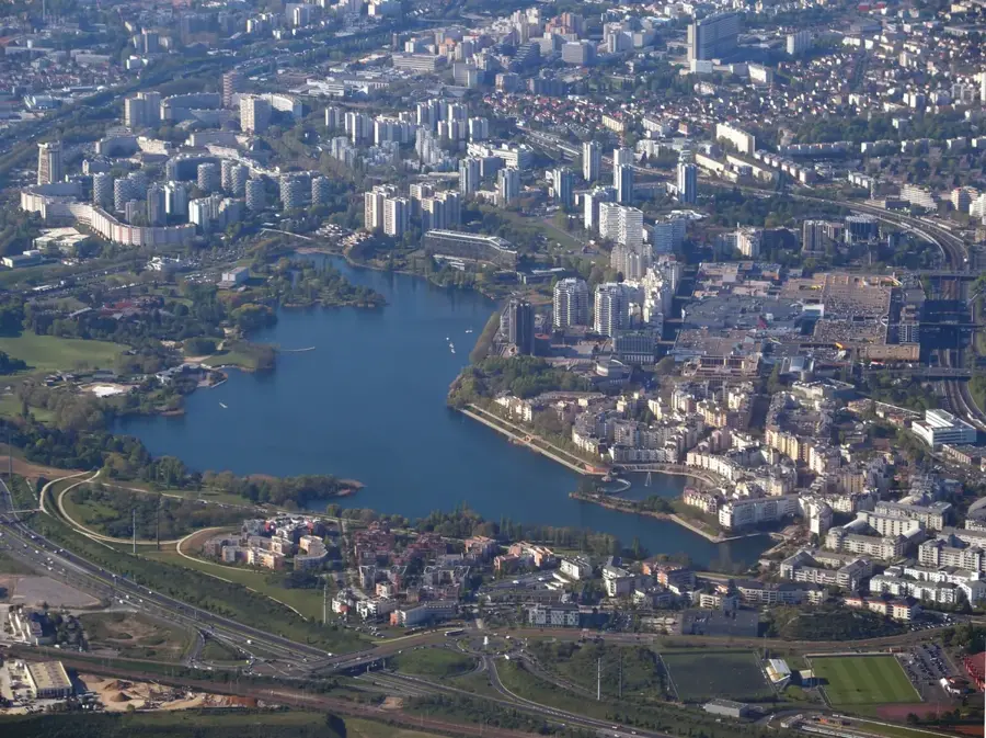
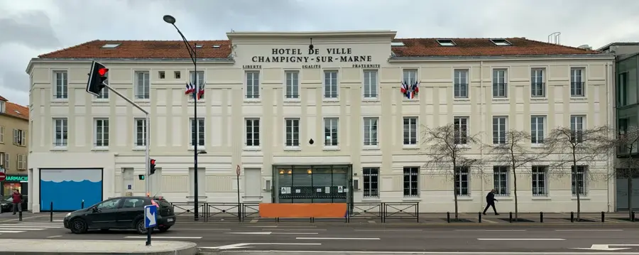
Explore nearby
Notable places around
Route planner — Car & Motorhome
Where do you start? We build the route here, with stops and country notes along the way.
© OpenStreetMap contributors · OpenRouteService
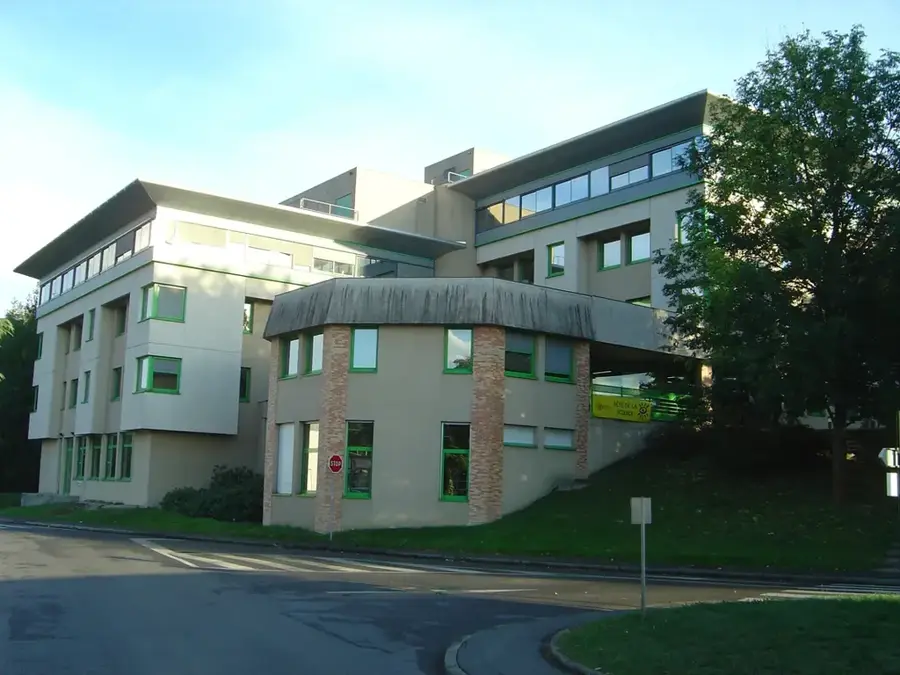
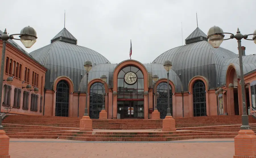
Sights in the town Saint-Pierre-lès-Nemours (6)
Frequently asked questions
What is the Musée de Préhistoire d'Île-de-France?
Can you go bouldering here?
Is there a train connection to Paris?
What can you do at the Loing river?
Are there nature trails in the forest?
Saint-Pierre-lès-Nemours: where is it located?
Saint-Pierre-lès-Nemours: what is there to see?
Saint-Pierre-lès-Nemours: when is the best time to visit?
Saint-Pierre-lès-Nemours: why is it worth visiting?

Nearby cities