Plizio Visual Lab
Calonne-Ricouart
ℹ️Practical info — Calonne-Ricouart
▾
🌤 Weather — 5 days
📍 Nearby
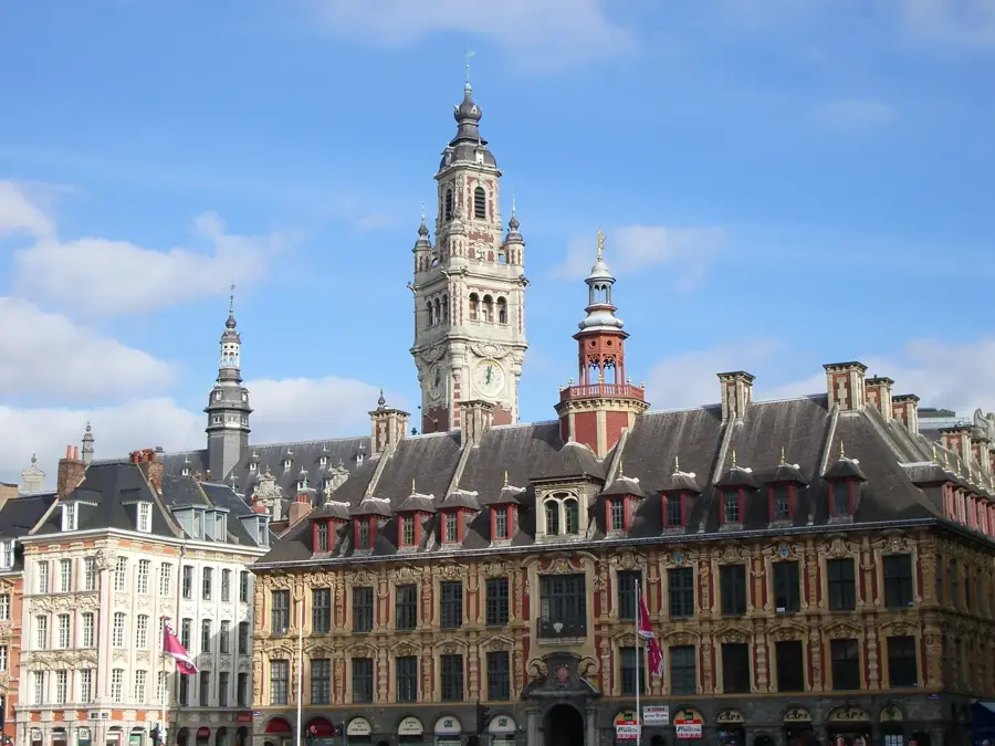
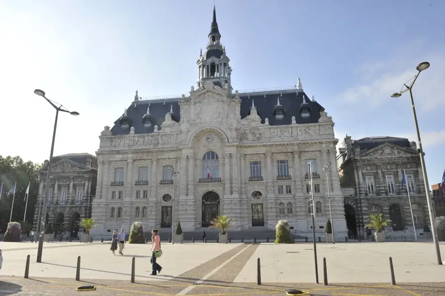
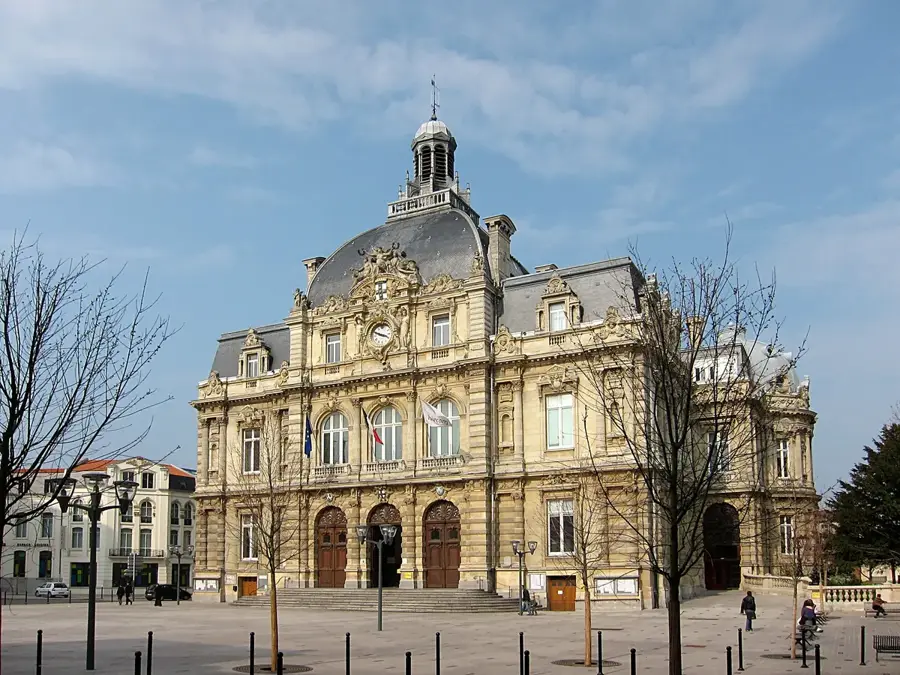
Sights nearby
💡 Tips
- Visit Parc Calonnix (Parc écologique de Calonne-Ricouart), a fantastic example of a former mining site turned into a green oasis.
- Take a walk through the residential areas to see the traditional 'corons', the historic terraced housing built for coal miners.
- When driving in the region, look out for the iconic 'terrils' (slag heaps), many of which have been transformed into hiking nature reserves.
- Public transport connections to nearby Béthune are reliable if you want to access a larger town without driving.
🍽 Food
Visit a local 'baraque à frites' (chip stand) for a classic, unpretentious Northern French fast-food experience.
Seek out a traditional regional restaurant or estaminet for this rich beef stew slow-cooked in local beer.
Pair your meals with local craft beers from the Pas-de-Calais region, widely available in local pubs.
🛍 Shopping · 🧘 Quiet spots
Pick up this famously pungent local cheese from a regional market or grocery store.
Find unique books or items related to the region's coal history at nearby cultural centers.
A sprawling green space with water features and walking paths, great for relaxation and family picnics.
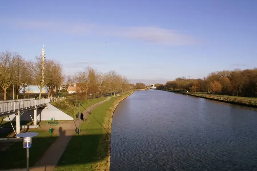
Enjoy a peaceful stroll along the banks of the Clarence river that gently flows through the town.
Water temperature…
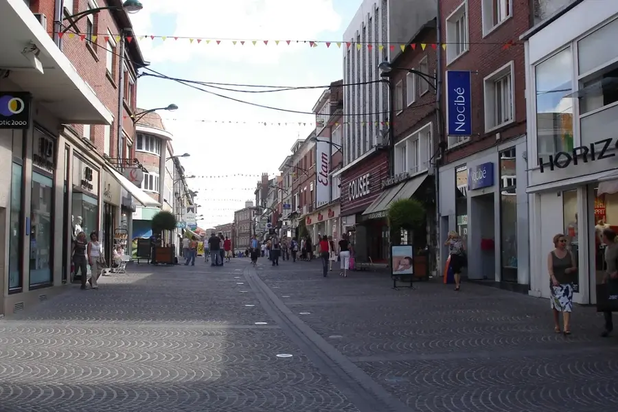
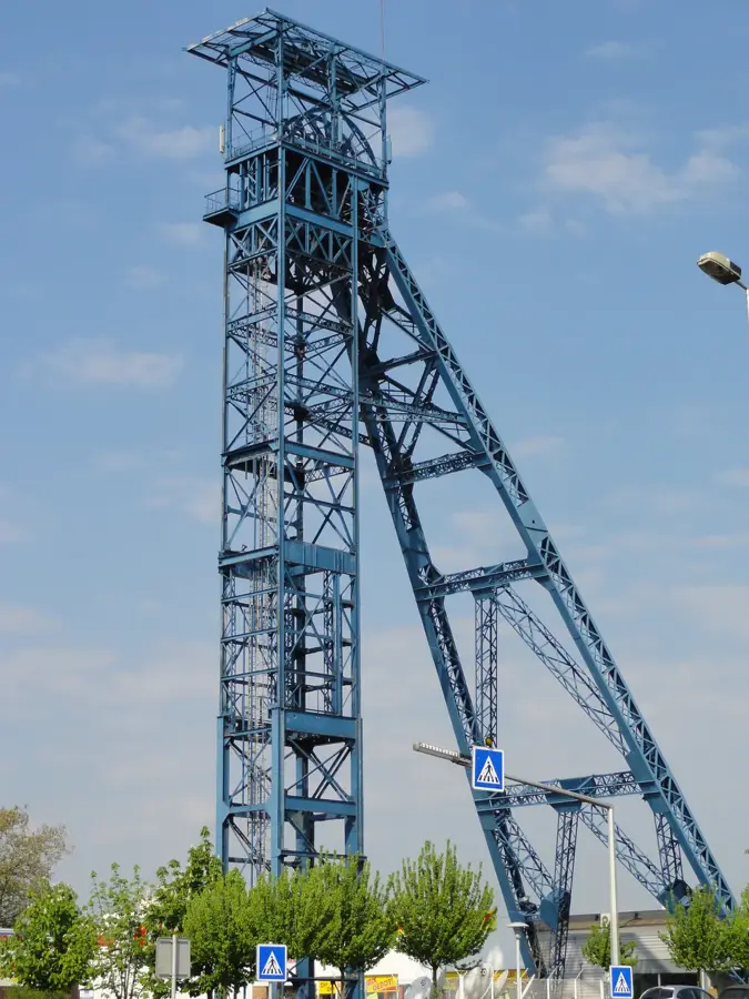
Calonne-Ricouart is located in the Pas-de-Calais department in the Hauts-de-France region and is deeply rooted in the history of French mining. The geography of the commune was shaped for over a century by coal extraction, reflected in the typical miners' settlements (corons) and the slag heap landscapes. Historically, the town was the site of rapid industrial ascent in the 19th century and a difficult structural shift after the closure of the last mines in the 1970s. A remarkable example of this transformation is Parc Calonnois, a large leisure area created on a former industrial site. The architecture serves as a testament to industrial history, featuring brick buildings and functional settlement structures. Today, the economy has diversified, with small and medium-sized enterprises and the service sector dominating. The commune is strongly committed to the ecological restoration of formerly contaminated lands, making the town significantly greener today than during the mining era. Culturally, the memory of the mining tradition remains alive through local associations and festivals.
- Location: Hauts-de-France, France
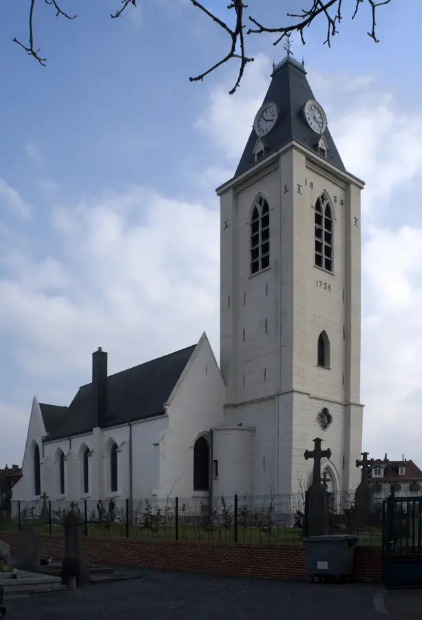
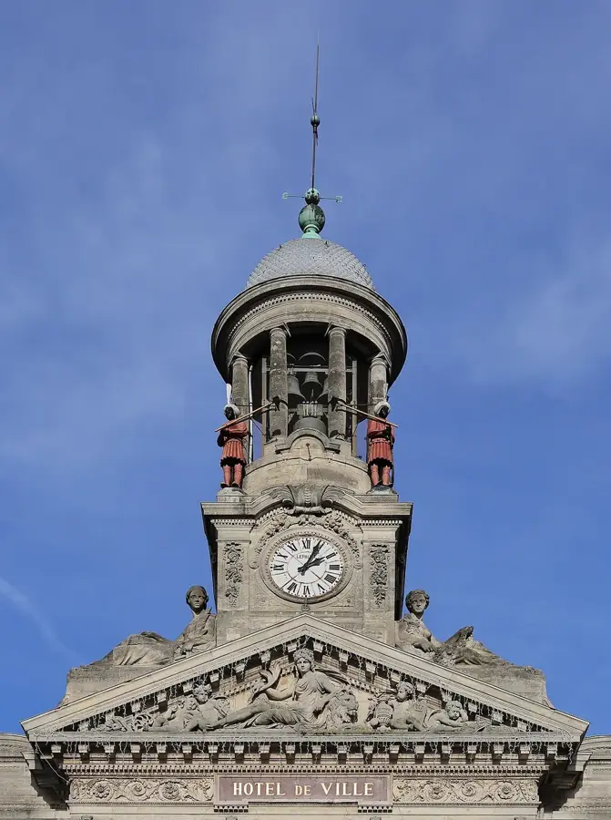
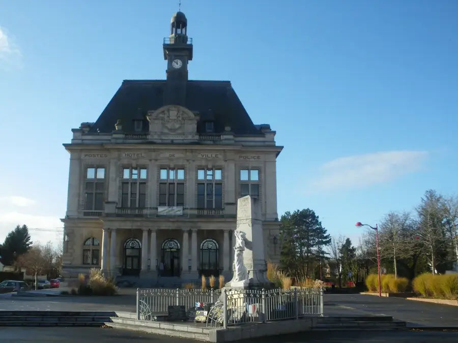
- Top sights: Saint-Pierre Church · Calonne-Ricouart Town Hall · The Slag Heaps (Terrils)
- Nearby: Houdain (5 km)
- Population: ~5.563
Best time to visit & climate
The most pleasant time to visit is Jun–Aug.
| Jan | Feb | Mar | Apr | May | Jun | Jul | Aug | Sep | Oct | Nov | Dec | |
|---|---|---|---|---|---|---|---|---|---|---|---|---|
| Avg °C | 3 | 4 | 6 | 9 | 13 | 16 | 18 | 17 | 15 | 11 | 7 | 4 |
| Rain mm | 62 | 55 | 53 | 41 | 61 | 59 | 66 | 73 | 54 | 70 | 77 | 77 |
Geography
Facts
- The commune covers an area of 5.58 square kilometers.
- Located on the railway line from Arras to Dunkerque.
- Structural change was supported by the EU 'Rechar' program.
- The municipal stadium is named after the footballer Pierre Leroy.
- The altitude varies between 37 and 114 meters above sea level.
- Home to the heritage-listed entrance gate of Mine No. 6.
Explore nearby
Notable places around
Route planner — Car & Motorhome
Where do you start? We build the route here, with stops and country notes along the way.
© OpenStreetMap contributors · OpenRouteService
Sights in the town Calonne-Ricouart (5)
Frequently asked questions
What is the main attraction in Calonne-Ricouart?
How far is it from Béthune?
Is there mining history to see here?
Is entry to Parc Calonnix free?
When does the weekly market take place?
Calonne-Ricouart: where is it located?
Calonne-Ricouart: what is there to see?
Calonne-Ricouart: when is the best time to visit?
Calonne-Ricouart: why is it worth visiting?

Nearby cities