Plizio Visual Lab
Artois Hills
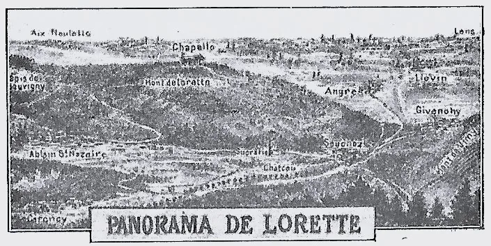
The Artois Hills represent a significant geological formation that primarily stretches through northern France, yet its northern reaches also shape the landscape of Belgium's southwestern borderlands. These limestone ridges were formed during the Cretaceous period and act as a natural barrier between the coastal plain of Flanders and the Paris Basin. Historically, the region's strategic elevation made it a frequent site for military engagements, most notably during World War I, when the front lines followed these contours into the province of Hainaut. Today, the area is predominantly recognized for its agricultural output and characteristic bocage landscape of hedgerows. The gentle slopes reach elevations of approximately 200 meters, offering expansive views over the surrounding valleys of the Lys and Scheldt rivers. Geologically, these hills are closely related to the North and South Downs in England, forming part of the same vast anticlinal system. The local flora is characterized by lime-loving species that thrive on the mineral-rich, well-drained soils of the plateau.
- Location: Belgium
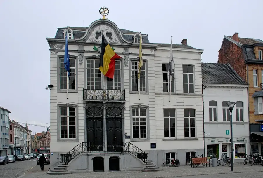
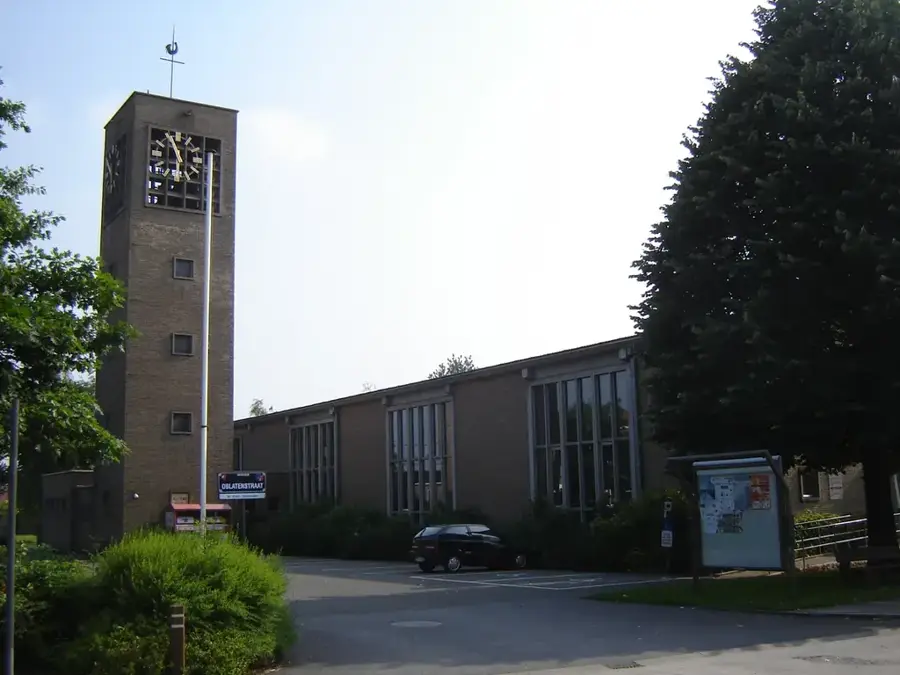
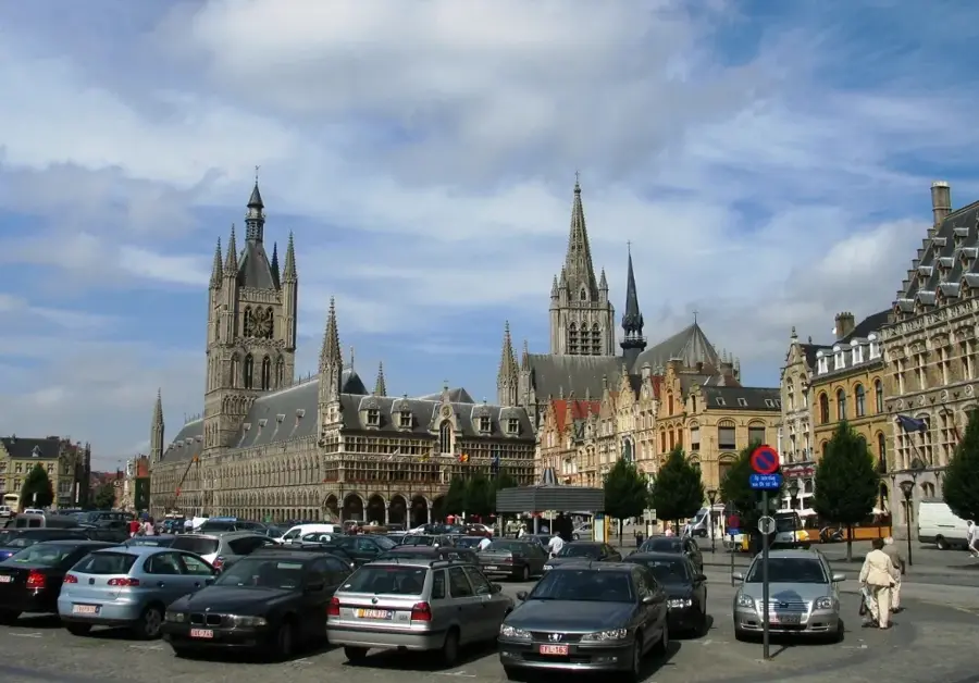
- Top sights: Église Saint-Léger · Église Sainte-Anne · Église Saint-Vaast
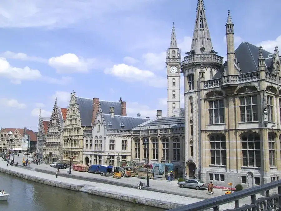
- Nearby: Poperinge (53 km)
Best time to visit & climate
The most pleasant time to visit is Jun–Aug.
| Jan | Feb | Mar | Apr | May | Jun | Jul | Aug | Sep | Oct | Nov | Dec | |
|---|---|---|---|---|---|---|---|---|---|---|---|---|
| Avg °C | 3 | 4 | 6 | 9 | 13 | 16 | 18 | 17 | 15 | 11 | 7 | 4 |
| Rain mm | 62 | 55 | 53 | 41 | 61 | 59 | 66 | 73 | 54 | 70 | 77 | 77 |
📋 Practical info
Geography
Facts
- The highest point of the Artois ridge reaches an elevation of approximately 212 meters.
- Geologically, the area is composed of limestone and chalk formations from the Upper Cretaceous.
- The hills form a major watershed between the Somme and Scheldt river basins.
- In 1917, the region was the site of the significant Battle of Arras during WWI.
- Extensive coal seams of the Northern French basin are located beneath these hills.
- The relief was significantly shaped by tectonic uplift during the Tertiary period.
Explore nearby
Notable places around
Route planner — Car & Motorhome
Where do you start? We build the route here, with stops and country notes along the way.
© OpenStreetMap contributors · OpenRouteService
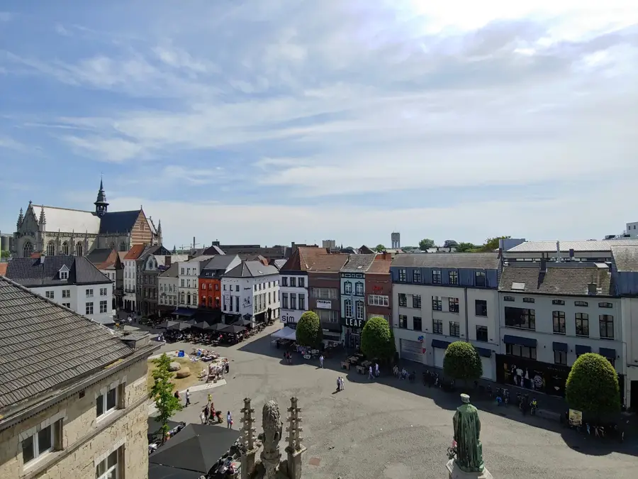
Sights in the town Artois Hills (4)
Église Saint-Vaast
Church honoring Saint Vedast, situated in Pas-de-Calais, France.
Sights nearby
Frequently asked questions
Where are the Artois Hills located?
What role did they play in history?
What is the landscape like there?
What activities are recommended here?
When is the best time for a visit?
Artois Hills: where is it located?
Artois Hills: what is there to see?
Artois Hills: when is the best time to visit?
Artois Hills: why is it worth visiting?

Nearby cities