Discovering Local Associations
Meet and learn about the city's diverse cultural and sporting associations.
Plizio Visual Lab
Try this traditional smoked sausage at a local brasserie near the river.
Buy some aged local Comté at a cheese shop in the center.
Look for restaurants serving this hearty regional specialty.
Visit the weekly market for fresh Franche-Comté produce.
Check out local shops for items reflecting the town's Peugeot history.
Take a peaceful walk where the Doubs and Roide rivers meet.
Hike the nearby cliffs for a quiet retreat in nature.
Water temperature…
Meet and learn about the city's diverse cultural and sporting associations.
A fascinating journey into the history and heritage of Pierrefontaine-lès-Blamont.
Enjoy a lively musical evening featuring the band Chicks at the heart of Pont-de-Roide.
Discover local crafts and taste authentic regional specialties at this traditional market.
Discover local crafts and taste authentic regional specialties at this traditional market.
Join a guided historical walk to discover the ancient boundary stones and hidden heritage of the region.
Explore the fascinating history of Neuchâtel-Urtière through storytelling and interactive heritage tours.
Discover local crafts and taste authentic regional specialties at this traditional market.
Participate in the annual bird counting event and learn about migratory species in the beautiful Valoreille area.
Visit this unique community initiative where everything is shared for free to promote sustainability and waste reduction.
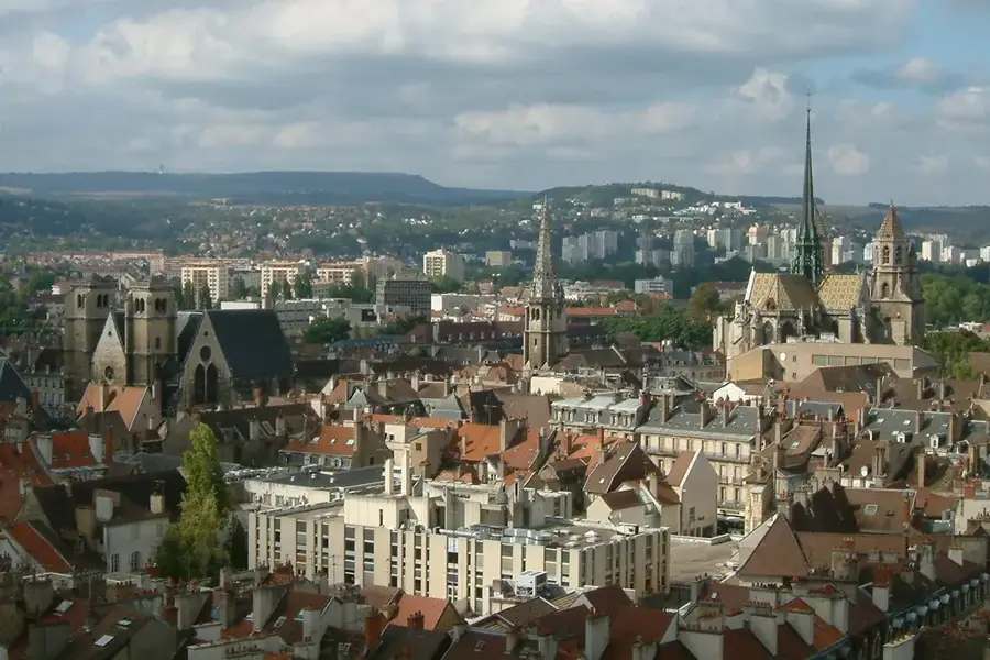
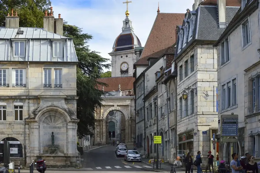
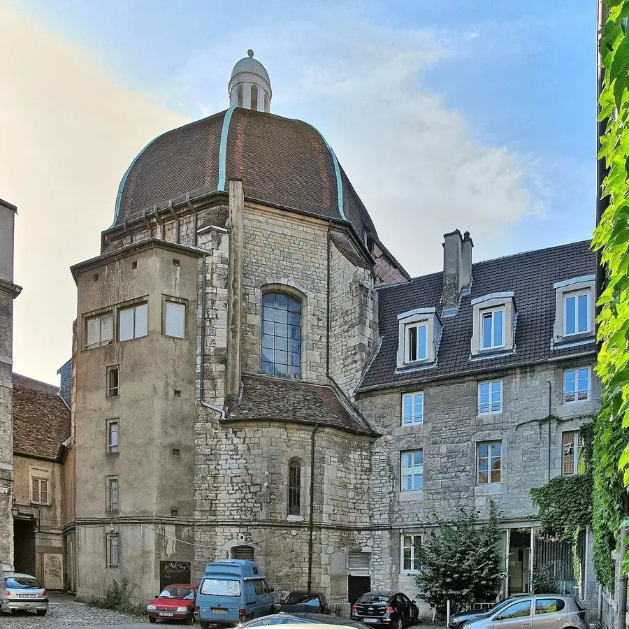
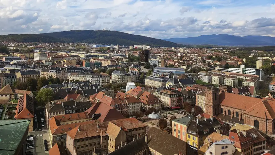
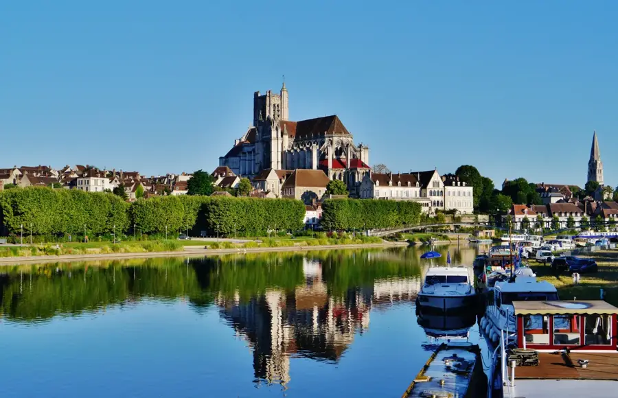
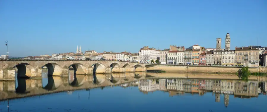
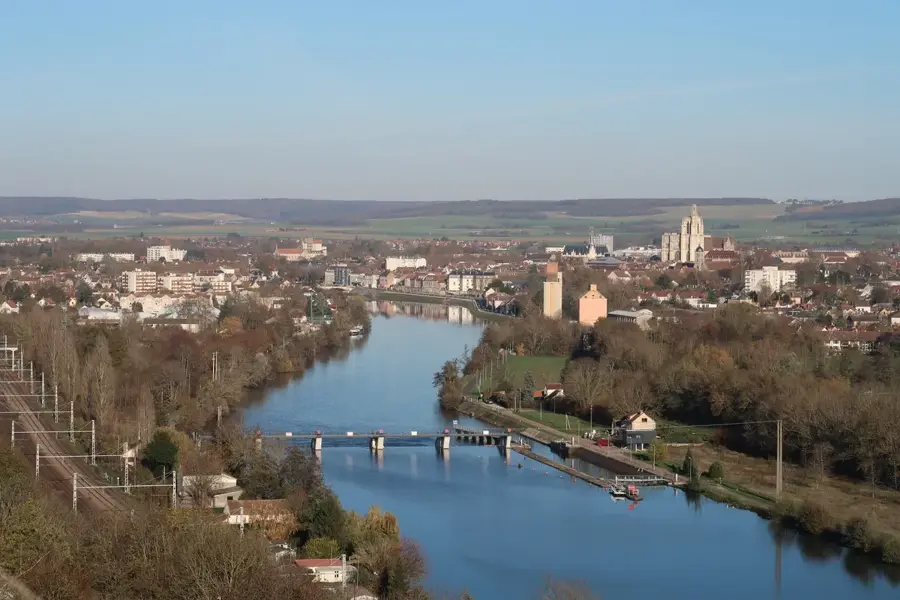
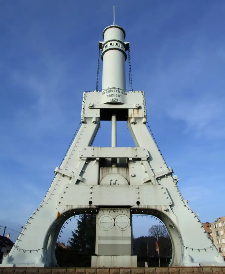
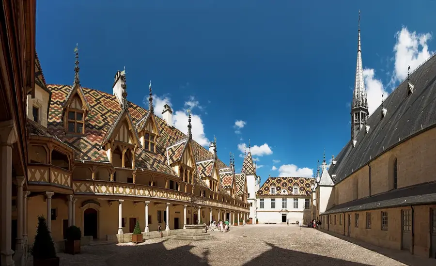
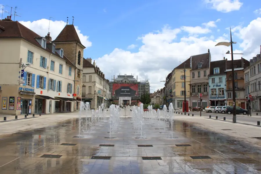
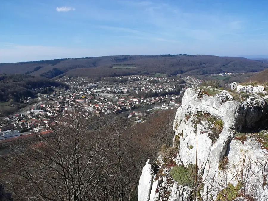
Pont-de-Roide-Vermondans is strategically located at the triple confluence of the Doubs, Roide, and Rance rivers in the Doubs department. The town is deeply embedded in French industrial history as a key site for the Peugeot family, who operated significant tool and steel factories here throughout the 19th century. Its name is derived from the historic bridge spanning the Doubs, which has been a vital crossing point for generations. The landscape is defined by dramatic limestone escarpments, most notably the 'Crêt des Roches,' which towers over the town and provides panoramic views of the Jura foothills. The current municipality was formed in 1973 through the merger of Pont-de-Roide and Vermondans. While maintaining its industrial identity, the town has embraced its natural surroundings, offering excellent facilities for rock climbing, hiking, and fly-fishing in the pristine river waters. Located between the industrial hub of Montbéliard and the Swiss border, it remains a vital regional center that balances its pioneering industrial heritage with a high quality of life in a scenic alpine setting.
The most pleasant time to visit is Jun–Aug.
| Jan | Feb | Mar | Apr | May | Jun | Jul | Aug | Sep | Oct | Nov | Dec | |
|---|---|---|---|---|---|---|---|---|---|---|---|---|
| Avg °C | 0 | 1 | 4 | 9 | 13 | 17 | 19 | 18 | 14 | 10 | 5 | 1 |
| Rain mm | 77 | 62 | 74 | 69 | 105 | 95 | 91 | 98 | 73 | 91 | 80 | 89 |
See what it looks like near Pont-de-Roide-Vermondans right now.
Villars-sous-Ecot: Péage de St Maurice · 7.9 km · Open webcam on Windy · Webcams provided by Windy.com
Notable places around
Where do you start? We build the route here, with stops and country notes along the way.
© OpenStreetMap contributors · OpenRouteService
Start your morning with the stunning interior of the Église de la Nativité, soaking in its serene atmosphere. Midday takes you up to the formidable Fort des Roches, unveiling military history and vast valley views. The afternoon is dedicated to the Crêt des Roches nature reserve and Mont Echeroux, breathing in the fresh mountain air. Conclude your day exploring the medieval La Tour Carrée as the sun sets.
Morning pedals begin at the lively Pétanque court before enjoying the quiet beauty of Chapelle Sainte-Anne and the majestic Église de la Nativité. By midday, you'll cycle uphill to the dramatic Fort des Roches. Afternoon brings a refreshing ride along the Crêt des Roches reserve, absorbing the rugged limestone landscapes. Evening descends as you investigate the mysterious Batterie des Saussis.
Your extensive driving tour opens with the historic Chambabon, flowing seamlessly into visits at the lively Pétanque court, the quiet Chapelle Sainte-Anne, and the central church. Midday transitions to military heritage at Fort des Roches, followed by nature walks at Crêt des Roches and Mont Echeroux in the afternoon. Evening shadows perfectly complement the ancient stones of Batterie des Saussis and La Tour Carrée.