Plizio Visual Lab
Plateau of Langres

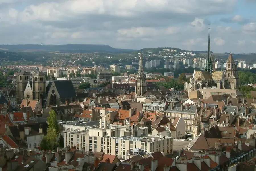
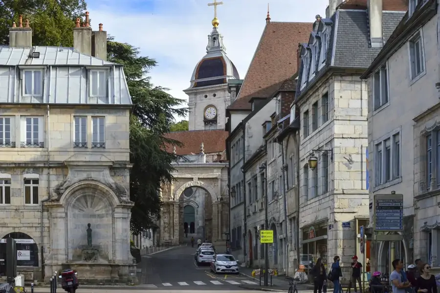
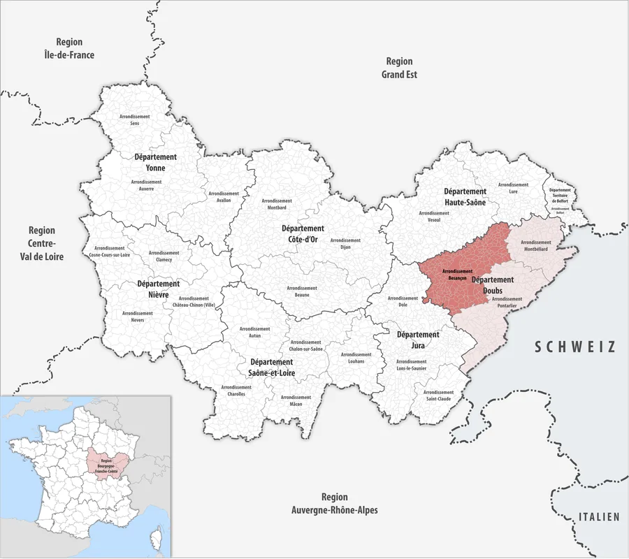
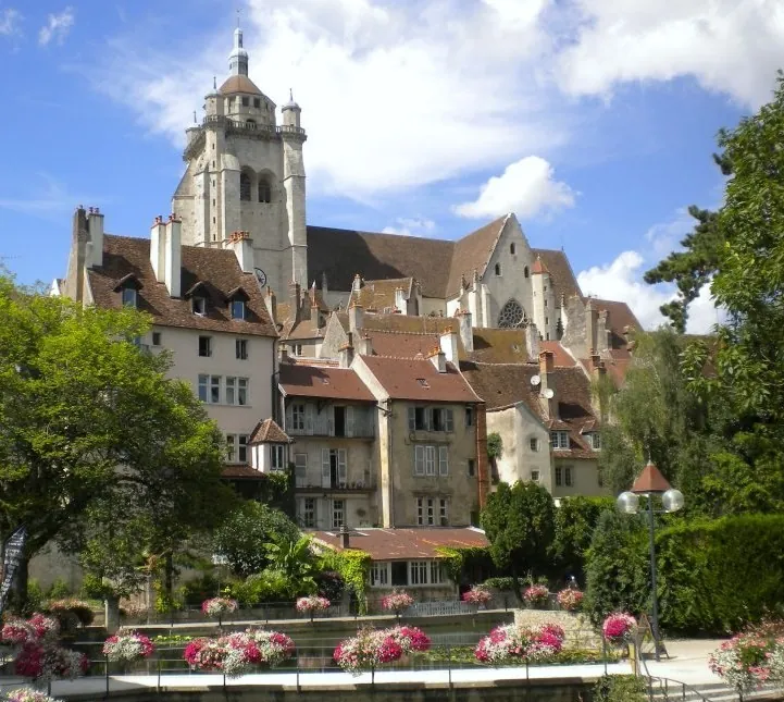
The Plateau of Langres is a significant limestone upland in northeastern France, serving as a vital hydrological crossroads between the Atlantic Ocean, the English Channel, and the Mediterranean Sea. Spanning primarily across the Haute-Marne and Côte-d'Or departments, the plateau maintains an average elevation of 450 to 500 meters. Geologically, it is composed of sedimentary rocks from the Jurassic period, characterized by karst features including numerous springs and underground caves. It is most famous as the source region for several major rivers, most notably the Seine, the Marne, and the Meuse, highlighting its central role in French geography. The landscape is a mosaic of dense deciduous forests and agricultural fields, shaped by a relatively harsh continental climate. The fortified town of Langres, perched on a rocky outcrop, remains one of the best-preserved medieval strongholds in Europe, overlooking the strategic trade routes that have crossed this plateau for millennia.
- Location: Bourgogne-Franche-Comté, France
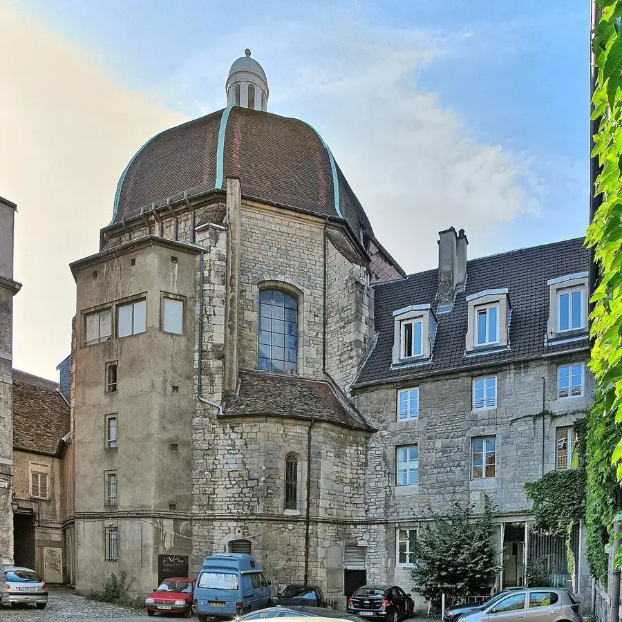
- Top sights: Église Notre-Dame-de-Nazareth · Salle Jean Favre · Porte des Moulins
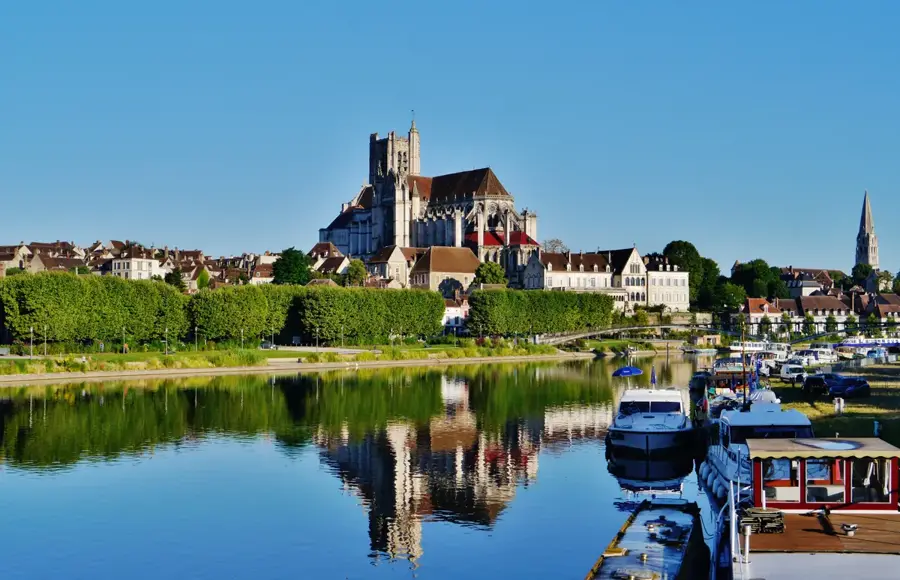
- Nearby: Nogent (20 km)
Best time to visit & climate
The most pleasant time to visit is Jun–Aug.
| Jan | Feb | Mar | Apr | May | Jun | Jul | Aug | Sep | Oct | Nov | Dec | |
|---|---|---|---|---|---|---|---|---|---|---|---|---|
| Avg °C | 1 | 2 | 5 | 9 | 13 | 17 | 19 | 18 | 14 | 10 | 5 | 2 |
| Rain mm | 72 | 58 | 64 | 55 | 82 | 72 | 66 | 76 | 59 | 78 | 77 | 83 |
📋 Practical info
Geography
Facts
- The Seine river begins its 777 km journey at Source-Seine on the plateau.
- The highest elevation point is Haut-du-Sec at 516 meters.
- The plateau acts as a triple watershed for the Seine, Meuse, and Rhône basins.
- Langres is a classified City of Art and History with 3.5 km of ramparts.
- The sedimentary layers date back approximately 150 to 200 million years.
- The plateau experiences a high number of foggy days due to its altitude.
Explore nearby
Notable places around
Route planner — Car & Motorhome
Where do you start? We build the route here, with stops and country notes along the way.
© OpenStreetMap contributors · OpenRouteService
Sights in the town Plateau of Langres (10)
Église Saint-Martin
Church in Haute-Marne, dedicated to Saint Martin.
Tours de Navarre et d'Orval🗼 tower
Two towers in Langres, remnants of the city wall.
Maison Renaissance
Renaissance house in Langres, with a typical facade.
Cathédrale Saint-Mammès
Cathedral in Haute-Marne, seat of the Diocese of Langres.
Musée d'Art et d'Histoire Guy Baillet🏛 museum
Museum in a church in Haute-Marne, art and history.
Hôtel d'Amboise
Manor house in Langres, from the 16th century.
Sights nearby
Frequently asked questions
Which major rivers originate here?
What is the climate like on the plateau?
What is the cultural highlight of the region?
Are there lakes for water sports?
What is Langres cheese known for?
Plateau of Langres: where is it located?
Plateau of Langres: what is there to see?
Plateau of Langres: when is the best time to visit?
Plateau of Langres: why is it worth visiting?

Nearby cities