Plizio Visual Lab
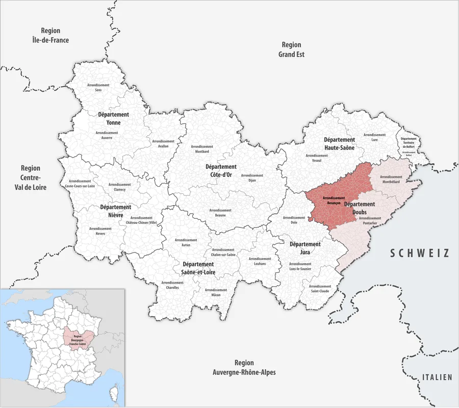
Jura Mountains
Weather…
Water temperature…
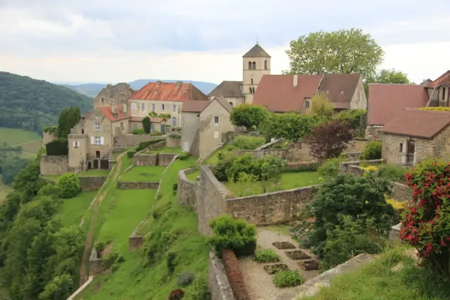
The Jura Mountains are a geologically significant limestone range extending along the border between France and Switzerland. The range gave its name to the Jurassic period, as its characteristic rock strata were first identified and studied here during the late 18th century. The highest peak on the French side is Crêt de la Neige, reaching an elevation of 1,720 meters above sea level. The landscape is characterized by deep gorges, karst plateaus, and dense coniferous forests that provide a vital habitat for the Eurasian lynx. Climatically, the region experiences harsh, snowy winters, establishing it as a major European center for Nordic skiing and winter sports. Beyond its natural features, the Jura is famous for its historical clock-making industry and the production of Comté cheese. The range's distinct folded structure serves as a textbook example of tectonic processes within the European continent.
- Location: Bourgogne-Franche-Comté, France
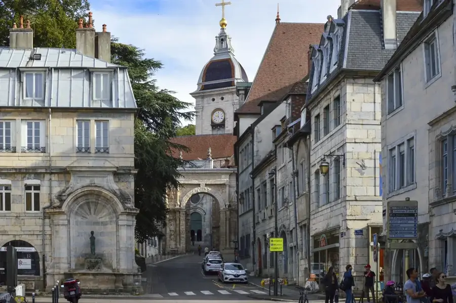
- Top sights: Église Saint-Eustache · Bélvédère du Repenty · Roche fendue
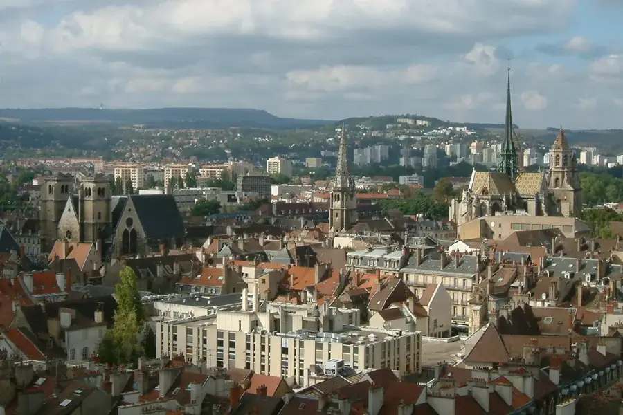
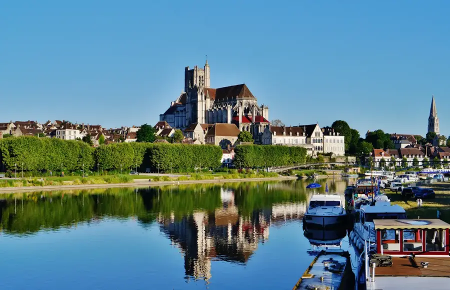
- Nearby: Saint-Claude (16 km)
Best time to visit & climate
The most pleasant time to visit is Jun–Aug.
| Jan | Feb | Mar | Apr | May | Jun | Jul | Aug | Sep | Oct | Nov | Dec | |
|---|---|---|---|---|---|---|---|---|---|---|---|---|
| Avg °C | -1 | 0 | 4 | 9 | 12 | 17 | 19 | 18 | 14 | 10 | 4 | 0 |
| Rain mm | 96 | 75 | 92 | 82 | 117 | 107 | 101 | 107 | 80 | 103 | 100 | 109 |
📋 Practical info
Geography
Facts
- The highest point is Crêt de la Neige at 1,720 meters.
- It is the namesake for the Jurassic geological period.
- The range spans approximately 360 kilometers in length.
- It hosts one of Western Europe's most significant lynx populations.
- Famous for the production of Comté cheese since the Middle Ages.
- A historic center for French watchmaking and precision engineering.
Explore nearby
Notable places around
Route planner — Car & Motorhome
Where do you start? We build the route here, with stops and country notes along the way.
© OpenStreetMap contributors · OpenRouteService
Sights in the town Jura Mountains (9)
Roche du Béchet
A viewpoint on a rocky summit in the Jura Mountains.
Musée de la Lunette🏛 museum
A museum in France dedicated to the history and manufacture of eyeglasses.
Mairie de Morez
A town hall in France, seat of the municipal administration of Morez.
Église de l'Assomption-de-Notre-Dame⛪ church
A church in the Jura department, dedicated to the Assumption of Mary.
Espace Lamartine
A cultural centre in the Jura, a venue for artistic activities.
Sights nearby
Frequently asked questions
Where does the Jura mountain range get its name?
What is the highest point of the French Jura?
Is Jura a good ski area?
Which cheese originates from this region?
Are there significant lakes?
Jura Mountains: where is it located?
Jura Mountains: what is there to see?
Jura Mountains: when is the best time to visit?
Jura Mountains: why is it worth visiting?

Nearby cities