Producers' Market
A market featuring specialized butcher and catering products from local artisans.
Plizio Visual Lab
Try this local potato specialty at a traditional brasserie near the castle.
Pick up some of this local blue cheese from a market stall or cheese shop.
Grab a fresh baguette or pastry from a bakery along the main street.
Visit the local farmers market for fresh regional produce from the Loire department.
Keep an eye out for pop-up galleries and local artist studios during street art events.
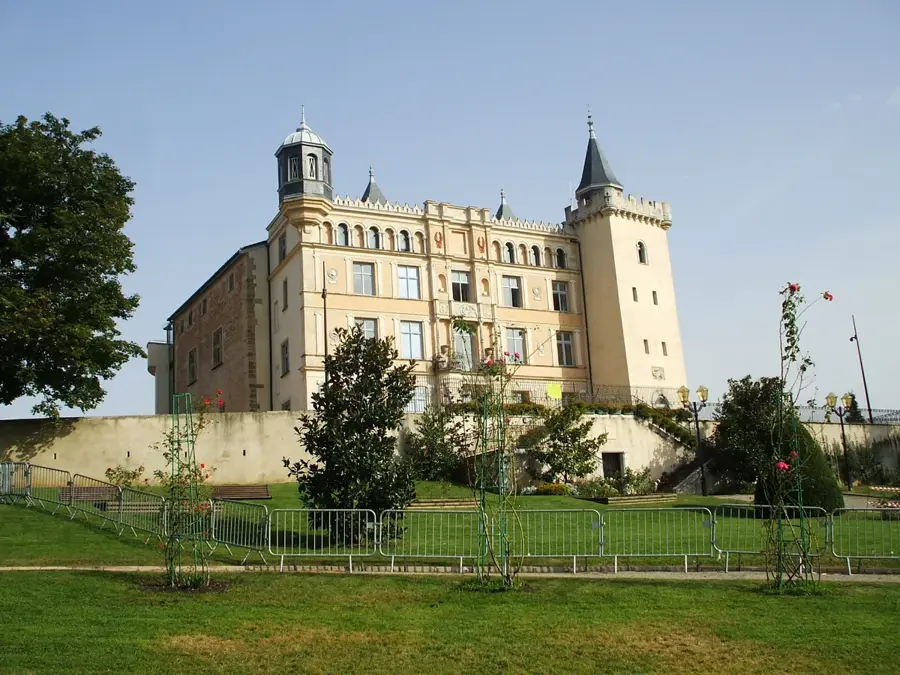
Take a peaceful stroll around the exterior of the Château and its park.
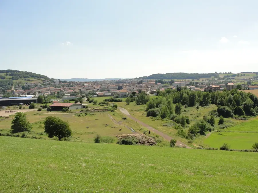
Head to the edge of town for quiet walking paths that highlight the area's green transformation.
Water temperature…
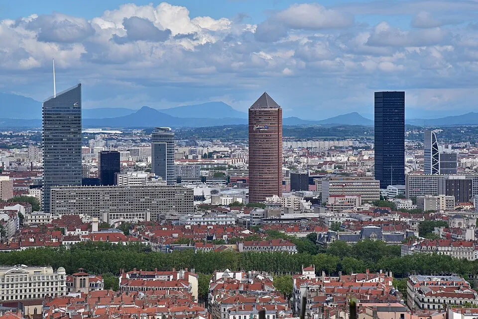
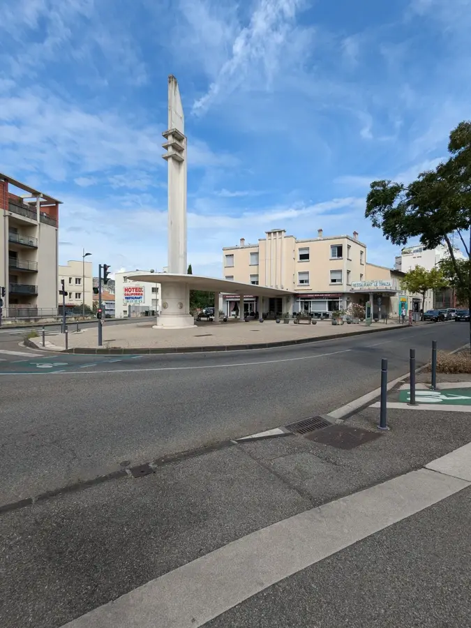
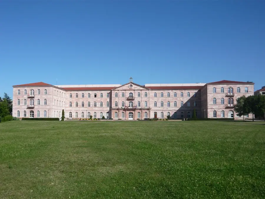
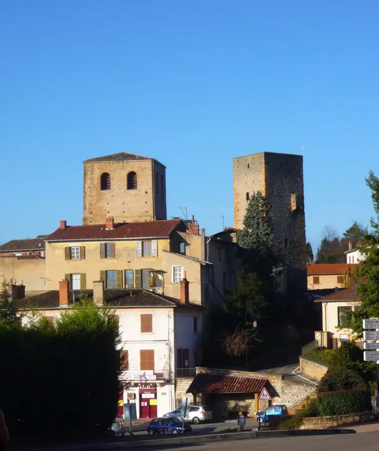
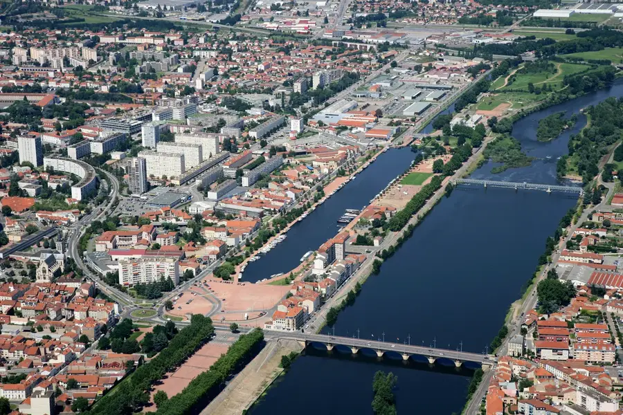
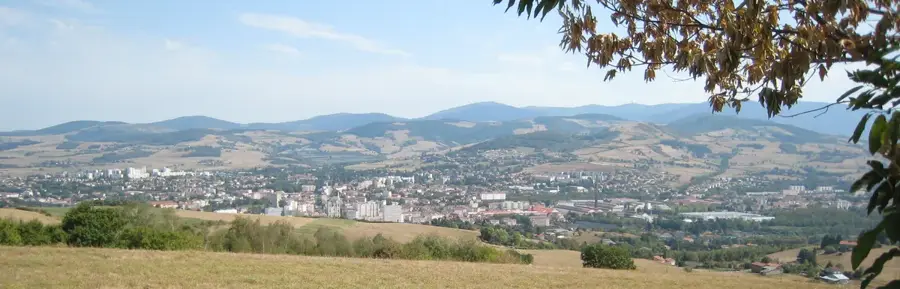
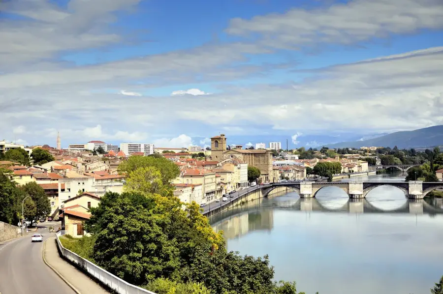
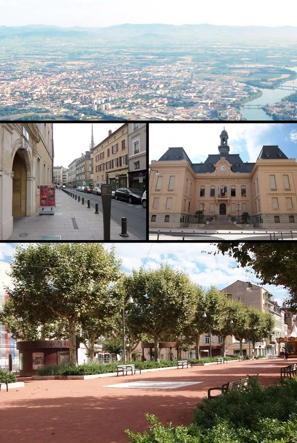
Roche-la-Molière is located in the Loire department, within the Auvergne-Rhône-Alpes region, effectively serving as a residential and cultural suburb of Saint-Étienne. The town's name originates from the sandstone quarries used to produce millstones (molières) during the Middle Ages. Throughout the 19th and 20th centuries, the town was a vital hub for coal mining in the Loire basin, an industry that shaped its demographic and urban landscape. Following the closure of the mines, the community transitioned toward a service-oriented economy and cultural preservation. The Château de Roche-la-Molière, with origins dating back to 1012, stands as the most significant historical landmark, evolving from a medieval fortress into a grand residence. In recent years, the town has gained international recognition for its 'SAFIR' street art festival, which has turned its urban spaces into an open-air museum featuring massive murals by world-renowned artists.
The most pleasant time to visit is Jun–Aug.
| Jan | Feb | Mar | Apr | May | Jun | Jul | Aug | Sep | Oct | Nov | Dec | |
|---|---|---|---|---|---|---|---|---|---|---|---|---|
| Avg °C | 1 | 2 | 5 | 9 | 13 | 18 | 20 | 20 | 15 | 11 | 6 | 2 |
| Rain mm | 42 | 35 | 43 | 57 | 75 | 64 | 65 | 64 | 56 | 72 | 73 | 50 |
Notable places around
Where do you start? We build the route here, with stops and country notes along the way.
© OpenStreetMap contributors · OpenRouteService