Plizio Visual Lab
La Ricamarie
ℹ️Practical info — La Ricamarie
▾
🌤 Weather — 5 days
📍 Nearby
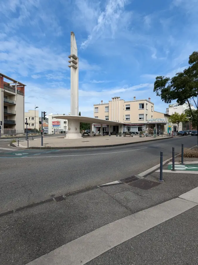
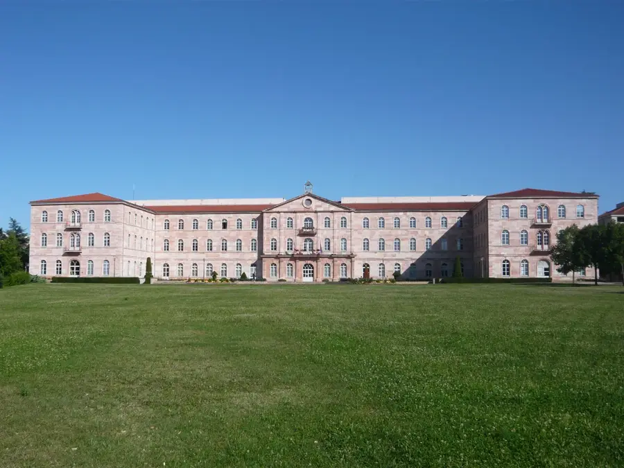
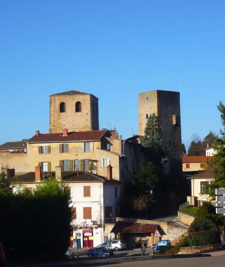
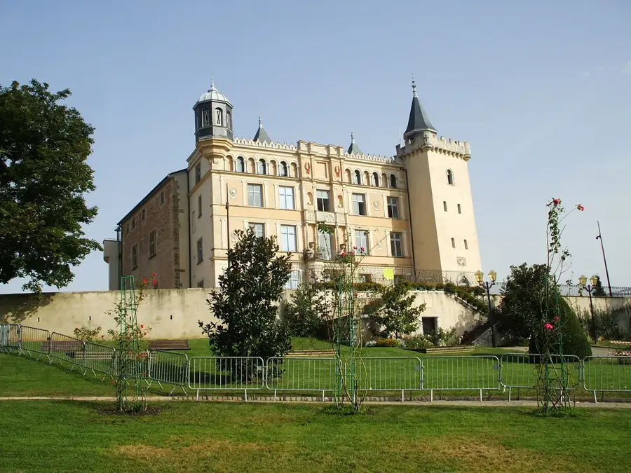
Sights nearby
💡 Tips
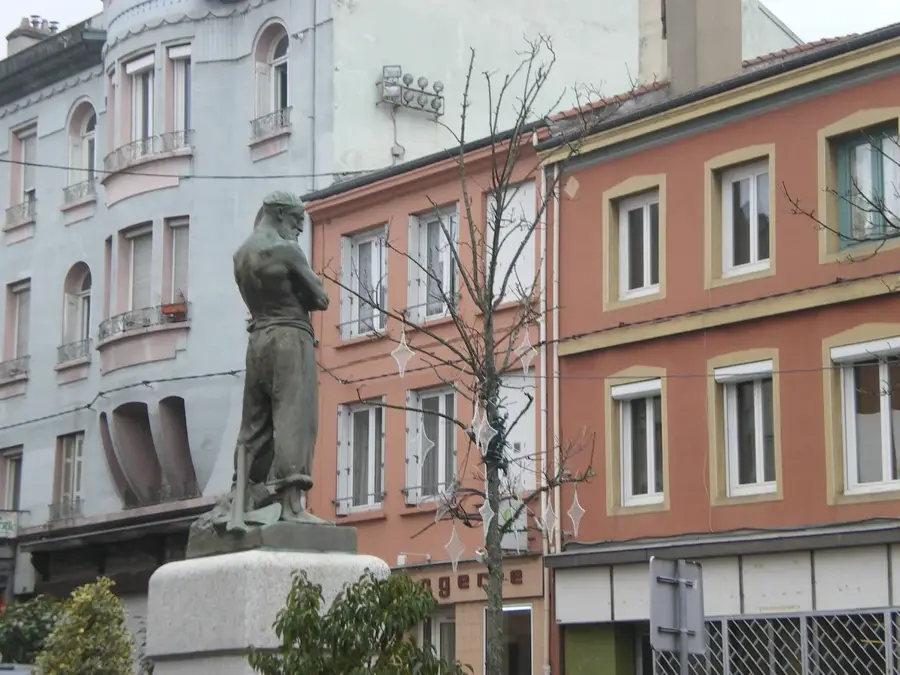
- Don't miss the Puits des Couleurs monument, a vivid reminder of the city's significant coal-mining past.
- Bring sturdy walking shoes to explore the beautiful foothills of the nearby Pilat Regional Nature Park.
- If you want to visit Saint-Étienne, staying here has a much quieter, affordable base with easy train access.
- The local hilly terrain means plenty of slopes in town; consider using the bus lines if you prefer to avoid steep walks.
🍽 Food
A delicious, crispy potato pancake typical of the Forez area, usually served in traditional brasseries.
A creamy herb cheese often served with boiled potatoes, found in local traditional eateries.
Pick up some dry-cured sausages from the butchers on the main street for a great snack.
🛍 Shopping · 🧘 Quiet spots
Visit the weekly open-air market in the town center for fresh Loire regional produce.
Look for traditional crusty bread and local brioche in the family-owned shops downtown.
A quiet park setting good for a family picnic or a slow afternoon walk.
Head just south of the town center to find serene nature trails climbing into the hills.
Water temperature…
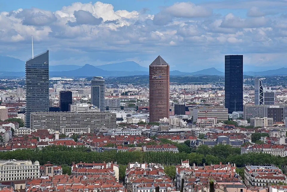
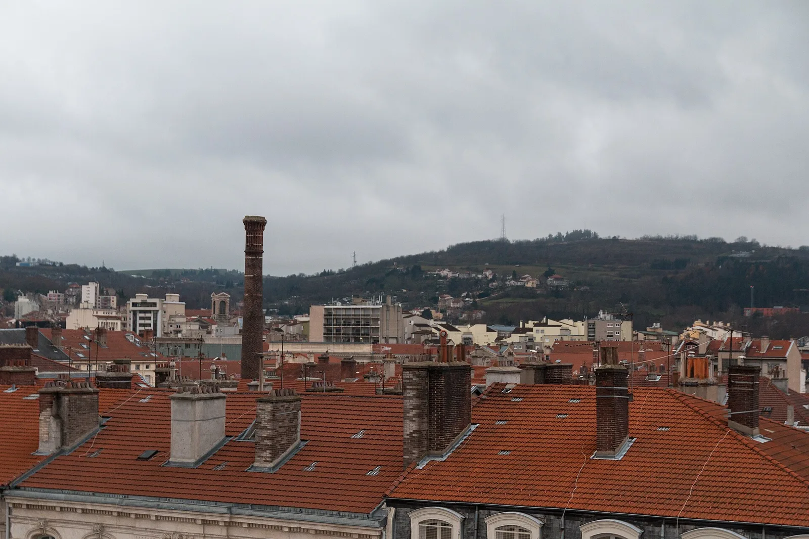
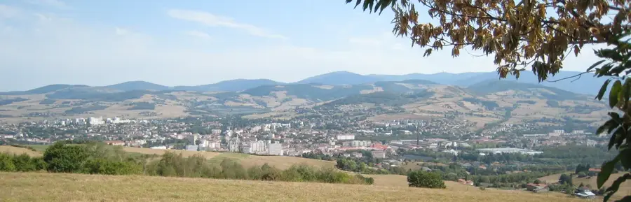
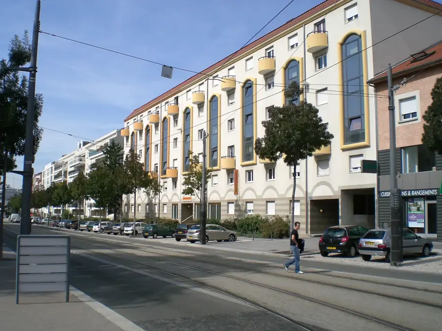
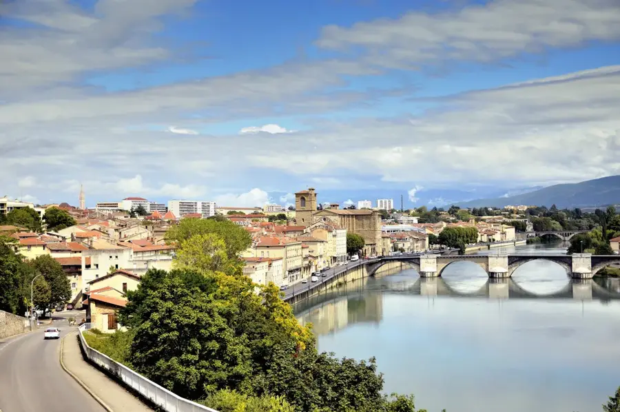
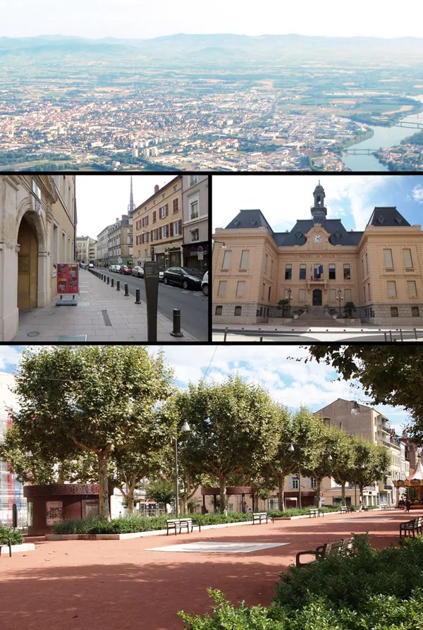
La Ricamarie is a dynamic town located in the Gier valley, in the Loire department of east-central France. Its identity was forged during the 19th-century industrial boom, primarily driven by the extensive coal mines that once operated in the Saint-Étienne basin. The town's layout still bears the hallmarks of its industrial past, with traditional miners' housing ('corons') and reclaimed industrial sites. Geographically, it sits at a strategic transit point between the Massif Central and the Rhône valley, at the foot of the Pilat Regional Natural Park. Today, La Ricamarie has successfully transitioned from a mono-industrial coal town to a multifaceted residential and commercial hub within the Saint-Étienne Métropole. It maintains a strong cultural focus on its working-class roots, often celebrating the social history and the diverse immigrant communities that arrived during the peak mining years to work in the pits.
- Location: Auvergne-Rhône-Alpes, France
- Top sights: Mine Museum (Puits Combes) · Béraudière Park · Château de la Béraudière
- Nearby: Saint-Étienne (4 km)
- Population: ~11.539
Best time to visit & climate
The most pleasant time to visit is Jun–Aug.
| Jan | Feb | Mar | Apr | May | Jun | Jul | Aug | Sep | Oct | Nov | Dec | |
|---|---|---|---|---|---|---|---|---|---|---|---|---|
| Avg °C | 1 | 2 | 5 | 9 | 13 | 18 | 20 | 20 | 15 | 11 | 6 | 2 |
| Rain mm | 42 | 35 | 43 | 57 | 75 | 64 | 65 | 64 | 56 | 72 | 73 | 50 |
Geography
Facts
- Established as a commune in 1843
- Average elevation is 541 meters above sea level
- Total land area of 6.95 square kilometers
- Postal code is 42150
- Part of the Saint-Étienne Métropole urban area
- Key historic coal production site in the Gier basin
Explore nearby
Notable places around
Route planner — Car & Motorhome
Where do you start? We build the route here, with stops and country notes along the way.
© OpenStreetMap contributors · OpenRouteService
Sights in the town La Ricamarie (9)
Frequently asked questions
What is the mining history of the city?
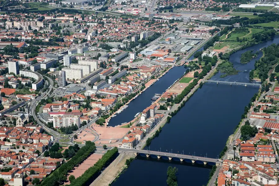
How far is it to Saint-Étienne?
Are there nature parks nearby?
When is the local market held?
Are there cultural facilities?
La Ricamarie: where is it located?
La Ricamarie: what is there to see?
La Ricamarie: when is the best time to visit?
La Ricamarie: why is it worth visiting?

Nearby cities