Solidarity Gardens Market
A small local market offering seasonal organic vegetables, as well as plants, flowers, and saplings.
Plizio Visual Lab
Savor this creamy, slow-baked potato classic at a traditional regional restaurant.
Finish your meal with a sip of this famous, complex herbal liqueur crafted by local monks.
Try the celebrated local walnuts, which appear in everything from salads to desserts.
Browse for artisanal mountain cheeses, fresh produce, and walnut oil direct from local producers.
Stop by a town center pâtisserie to pick up a rich, traditional walnut tart.
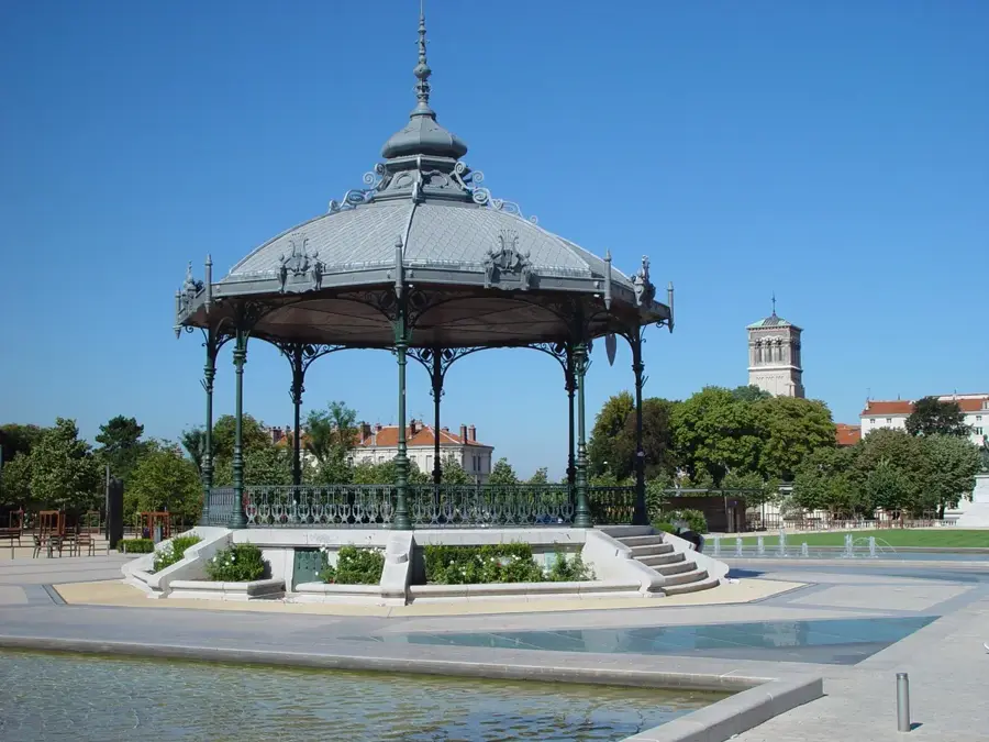
Take a relaxing break on a shaded bench in this peaceful municipal park.
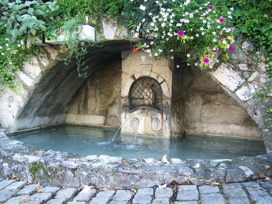
Enjoy a quiet, scenic stroll along the water, away from the bustling streets.
Water temperature…
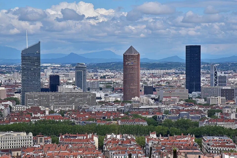
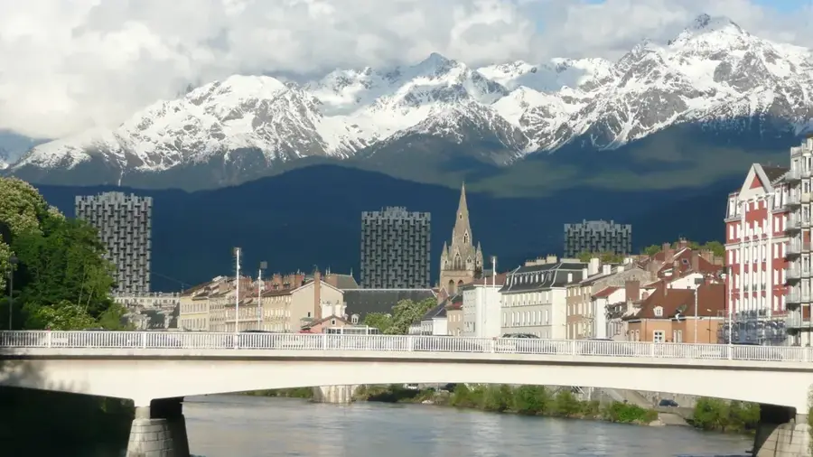
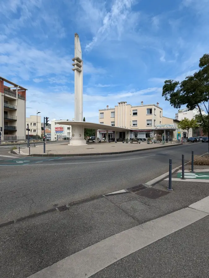
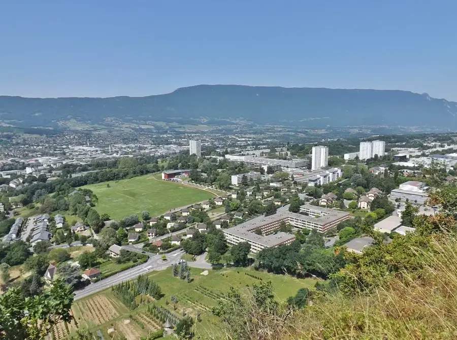
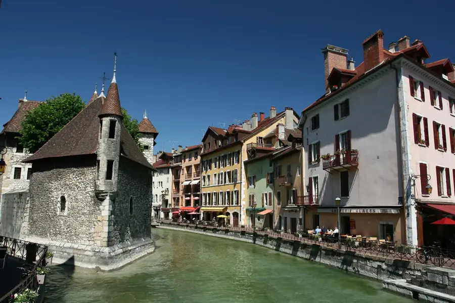
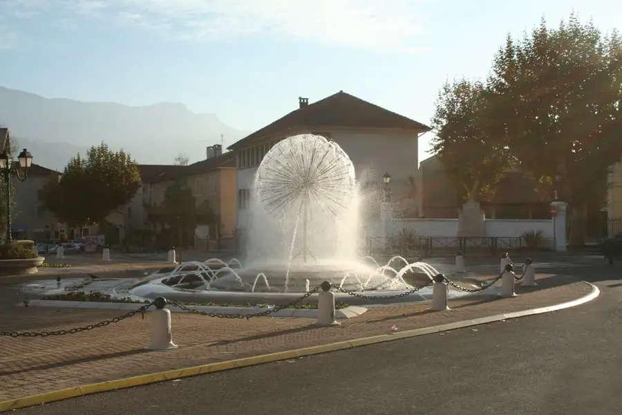
Positioned at the crossroads of the Isère valley and the Bièvre-Valloire plain, Moirans serves as a historic transition point at the foothills of the Chartreuse mountain range. The town's origins date back to the Gallo-Roman period when it was known as Morginnum, an important relay station on the route connecting Vienne to Milan. Today, the historic center retains architectural traces of its past, notably the 11th-century Saint-Pierre church and the Tour de la Cordelle, a remnant of the medieval defensive walls. Moirans is surrounded by fertile agricultural land, traditionally known for its cherry orchards and walnut groves. The presence of two train stations makes it a highly accessible hub for exploring the nearby Chartreuse Regional Nature Park or the historic town of Voiron, located just 5 kilometers to the north. The area features gentle hiking paths that gradually ascend towards the alpine foothills.
The most pleasant time to visit is Jun–Aug.
| Jan | Feb | Mar | Apr | May | Jun | Jul | Aug | Sep | Oct | Nov | Dec | |
|---|---|---|---|---|---|---|---|---|---|---|---|---|
| Avg °C | 1 | 2 | 6 | 10 | 13 | 18 | 20 | 19 | 15 | 11 | 6 | 2 |
| Rain mm | 79 | 62 | 74 | 69 | 97 | 77 | 72 | 76 | 71 | 89 | 97 | 86 |
Notable places around
Where do you start? We build the route here, with stops and country notes along the way.
© OpenStreetMap contributors · OpenRouteService