Plizio Visual Lab
Chiro

ℹ️Practical info — Chiro
▾
🌤 Weather — 5 days
📍 Nearby
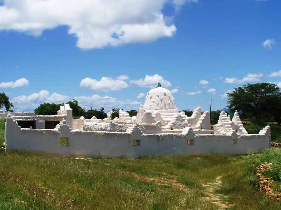
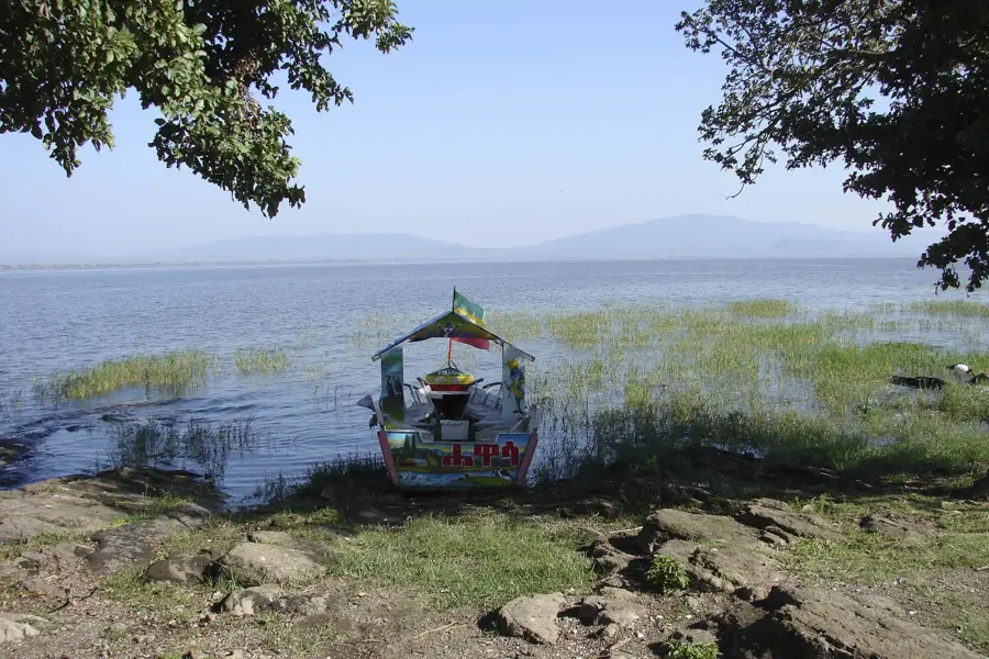
Sights nearby
💡 Tips
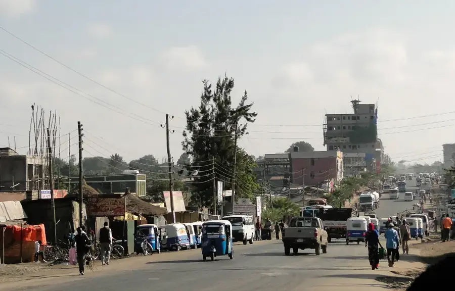
- Use minibuses and three-wheeled bajajs to get around, but always negotiate the fare before getting in.
- The city is surrounded by scenic mountains. Early morning features the clearest views for photography.
- The local coffee culture is strong. Don't rush a traditional coffee ceremony; take your time to enjoy it.
- Cash is king here, as ATMs can be unreliable or empty. Bring enough Ethiopian Birr for your stay.
🍽 Food
Try the locally grown coffee in the small cafes along the main road.
Look for busy local eateries serving this staple flatbread with various savory stews.
A thick chickpea stew, first-rate for a quick, cheap meal in traditional restaurants.
🛍 Shopping · 🧘 Quiet spots
The main market provides fresh produce, spices, and traditional Oromo textiles.
Buy freshly roasted coffee beans directly from local vendors to take home as a souvenir.
Take a walk towards the outskirts for peaceful views of the Ahmar Mountains.
The compounds of religious sites often provide a quiet resting place outside of prayer times.
Water temperature…
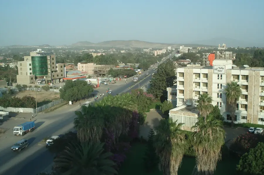
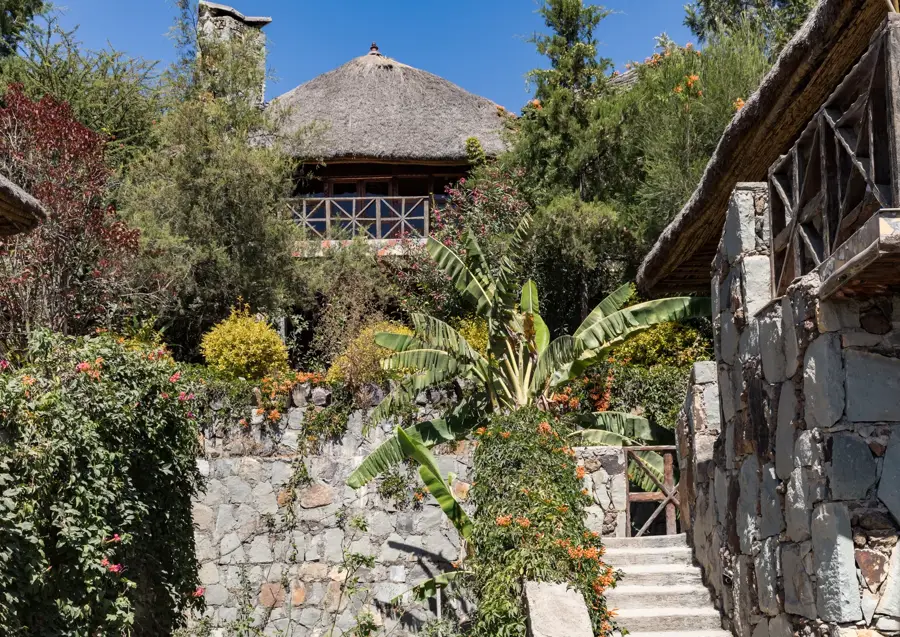
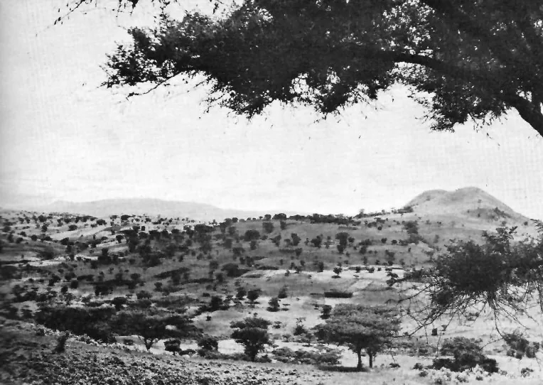
Chiro, formerly known as Asebe Teferi, is the administrative capital of the West Hararghe Zone in Ethiopia's Oromia Region. Perched on the slopes of the Ahmar Mountains, the town is surrounded by lush, verdant landscapes famous for their premium coffee production. Founded in the 1920s, Chiro developed into a vital waypoint along the strategic highway connecting Addis Ababa with the historic city of Harar. The local economy is driven by the trade of high-quality coffee and khat, which thrive in the region's rich volcanic soil and temperate climate. The town's geography features steep terrain and cool highland temperatures, making it a distinct urban center in the eastern highlands. In recent decades, Chiro has experienced significant infrastructure growth, hosting several regional hospitals and educational institutions. It remains a key cultural and economic hub for the Oromo people and a critical transit link for trade moving toward the eastern borders and the port of Djibouti.
- Location: Ethiopia
- Population: ~30.772 (2020)
Best time to visit & climate
The most pleasant time to visit is Jan, Feb, Dec.
| Jan | Feb | Mar | Apr | May | Jun | Jul | Aug | Sep | Oct | Nov | Dec | |
|---|---|---|---|---|---|---|---|---|---|---|---|---|
| Avg °C | 20 | 22 | 23 | 22 | 22 | 21 | 20 | 20 | 20 | 20 | 20 | 19 |
| Rain mm | 7 | 16 | 55 | 127 | 101 | 47 | 144 | 174 | 122 | 49 | 35 | 16 |
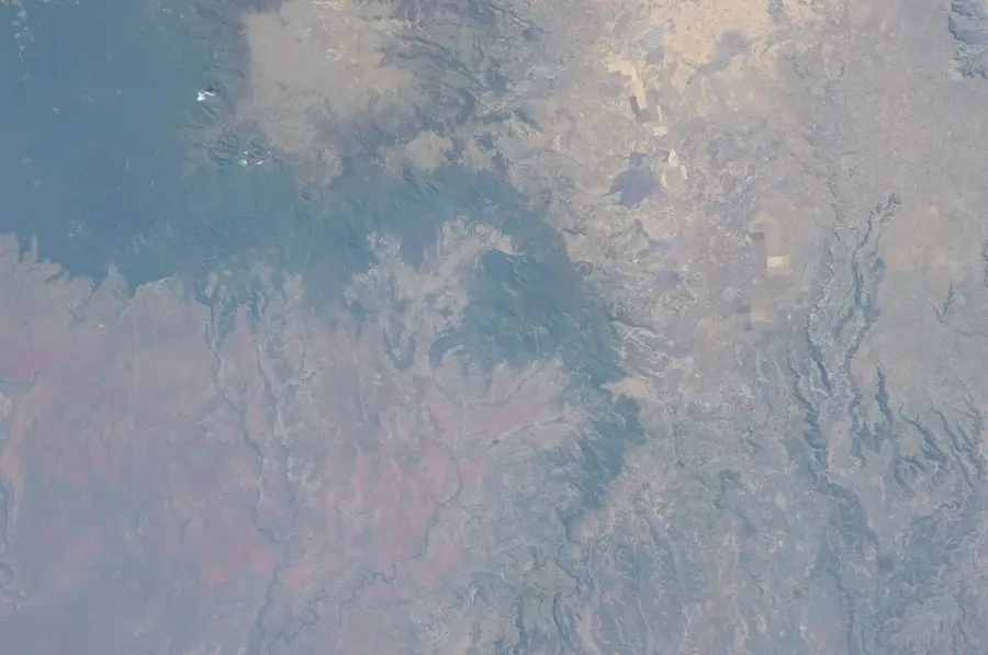
Geography
Facts
- Administrative capital of the West Hararghe Zone in Oromia.
- Formerly known by the historical name Asebe Teferi.
- Located in the Ahmar Mountains at an altitude over 1,800 meters.
- A major hub for the export of high-quality coffee and khat.
- Key stop on the highway connecting Addis Ababa to Harar.
- Founded in the 1920s as a modern administrative settlement.
Explore nearby
Notable places around
Route planner — Car & Motorhome
Where do you start? We build the route here, with stops and country notes along the way.
© OpenStreetMap contributors · OpenRouteService
Frequently asked questions
How long should I stay in Chiro?
Best season for Chiro?
How do I get to Chiro?
What can I do in Chiro?
Restaurants and accommodation in Chiro?
Chiro: where is it located?
Chiro: when is the best time to visit?
Chiro: why is it worth visiting?

Nearby cities
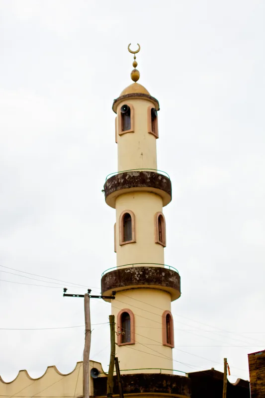


History & landmarks

Nature
More places