Plizio Visual Lab
Awash River

Weather…
Water temperature…
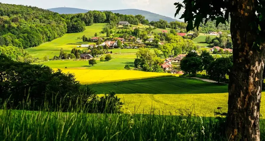
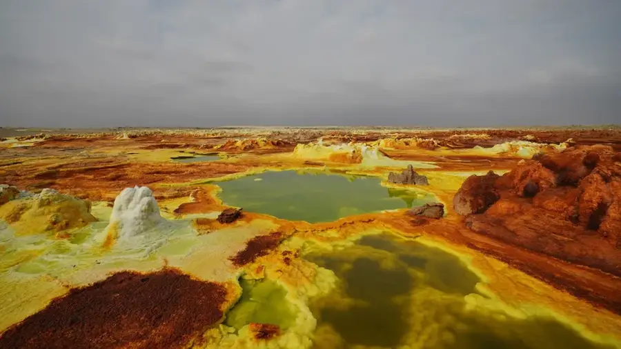
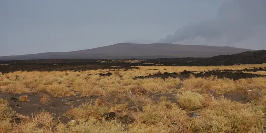
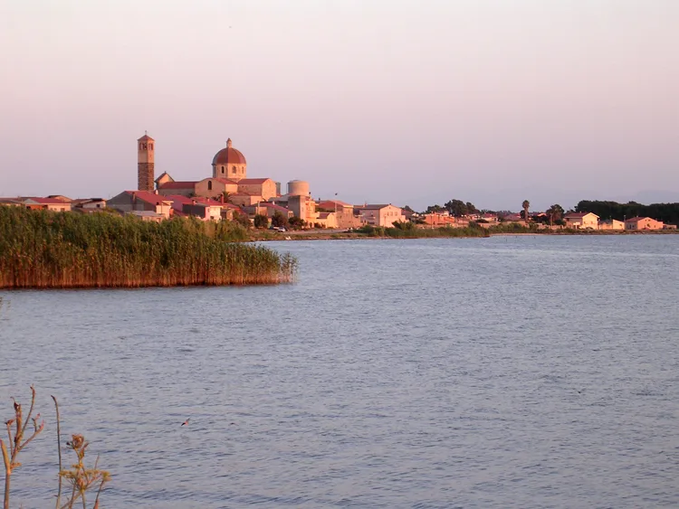
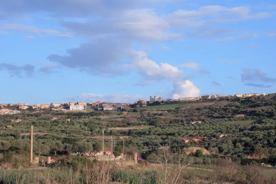
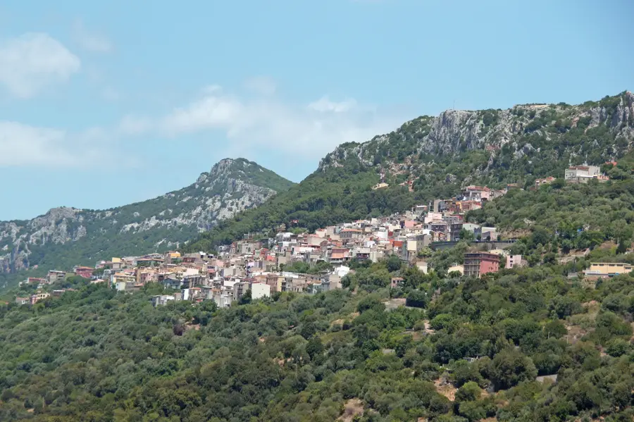
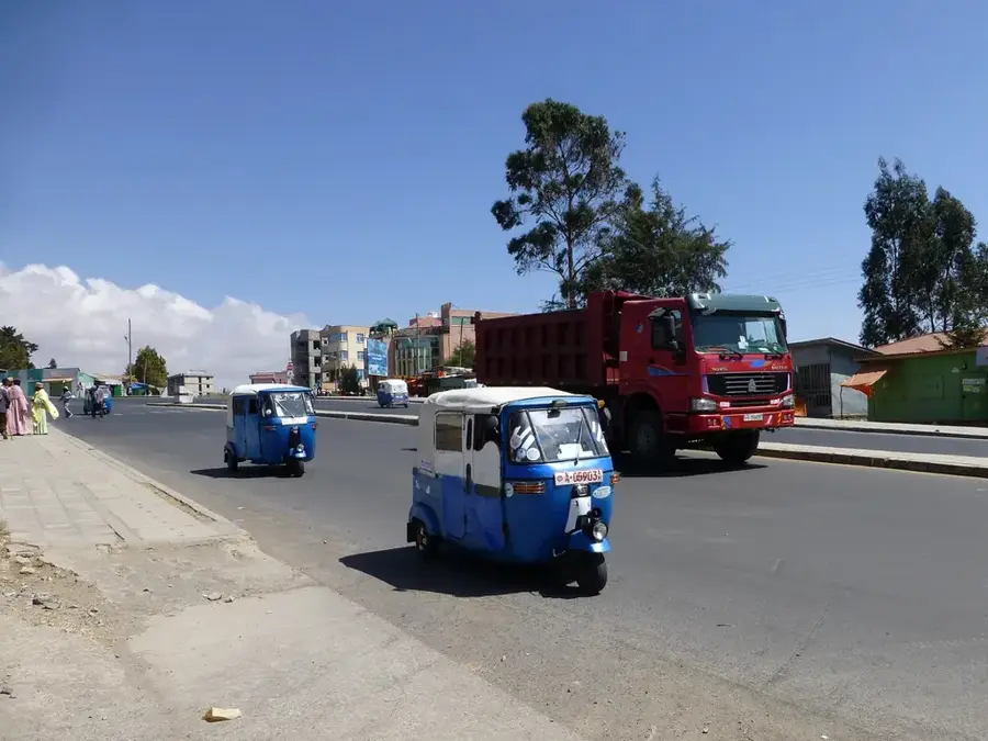
The Awash River is one of Ethiopia's most significant watercourses, flowing entirely within the country's borders for its total length of approximately 1,200 kilometers. Originating in the western highlands near Addis Ababa, it flows eastward through the Great Rift Valley, passing through the Awash National Park. The river is a vital economic asset, particularly due to the Koka Dam, which generates hydroelectric power and provides irrigation for extensive sugarcane plantations. A unique geographic feature of the Awash is its endorheic nature; it never reaches the ocean, instead terminating in a chain of salt lakes within the Danakil Depression near the Djibouti border, with Lake Abbe serving as its final destination. The Middle Awash valley is a world-renowned paleontological site where the remains of 'Lucy' were discovered, earning the region the title 'Cradle of Mankind.' The riparian vegetation consists of gallery forests and acacia savannas, providing essential water for diverse wildlife. Despite increasing pollution and industrial water demand, the Awash remains the lifeblood of eastern Ethiopia's semi-arid lowlands.
- Location: Ethiopia
- Nearby: Debre Birhan (78 km)
Best time to visit & climate
The most pleasant time to visit is Jan, Nov, Dec.
| Jan | Feb | Mar | Apr | May | Jun | Jul | Aug | Sep | Oct | Nov | Dec | |
|---|---|---|---|---|---|---|---|---|---|---|---|---|
| Avg °C | 23 | 25 | 26 | 26 | 27 | 28 | 26 | 25 | 26 | 25 | 24 | 23 |
| Rain mm | 9 | 23 | 55 | 96 | 61 | 46 | 124 | 145 | 87 | 34 | 25 | 15 |
📋 Practical info
Geography
Facts
- The Awash River has a total length of approximately 1,200 kilometers.
- The river terminates in the endorheic Lake Abbe on the Djibouti border.
- The Koka hydroelectric power station was commissioned in 1960.
- The famous fossil 'Lucy' was discovered in the Awash Valley in 1974.
- The river's entire course follows the Great African Rift Valley.
- The Lower Awash Valley has been a UNESCO World Heritage site since 1980.
Explore nearby
Notable places around
Route planner — Car & Motorhome
Where do you start? We build the route here, with stops and country notes along the way.
© OpenStreetMap contributors · OpenRouteService
Sights in the town Awash River (1)
Sights nearby
Frequently asked questions
Where does the Awash River originate?
Are there waterfalls on the Awash?
Can you see crocodiles in the Awash?
Does the Awash flow into the sea?
What is the Awash Valley historically known for?
Awash River: where is it located?
Awash River: when is the best time to visit?
Awash River: why is it worth visiting?

Nearby cities


History & landmarks

Nature
More places