Plizio Visual Lab
Veski-Mägi

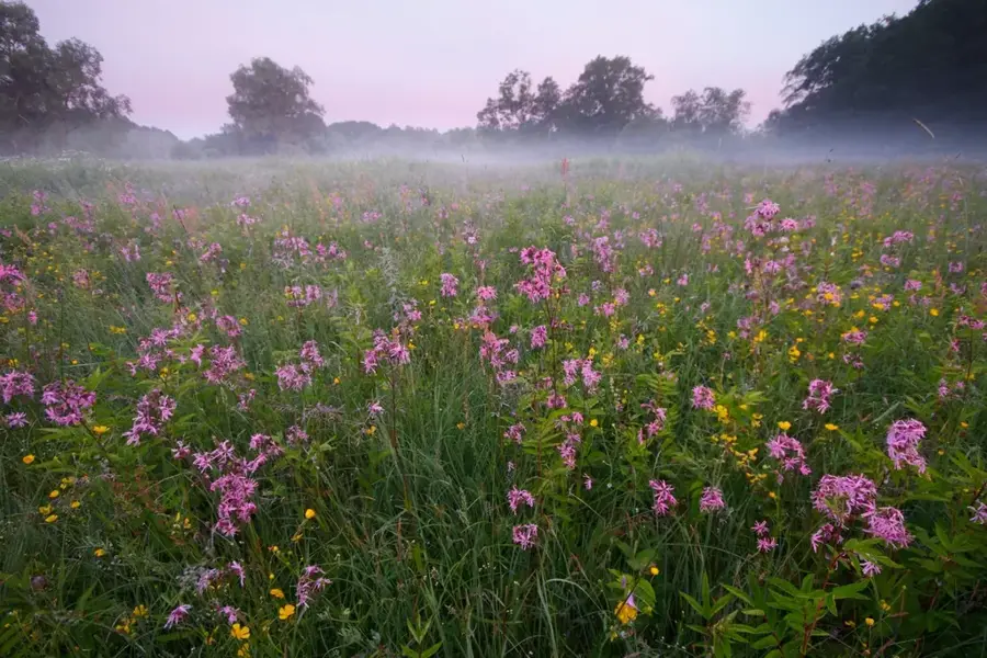
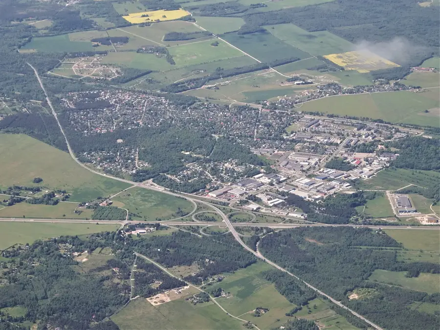
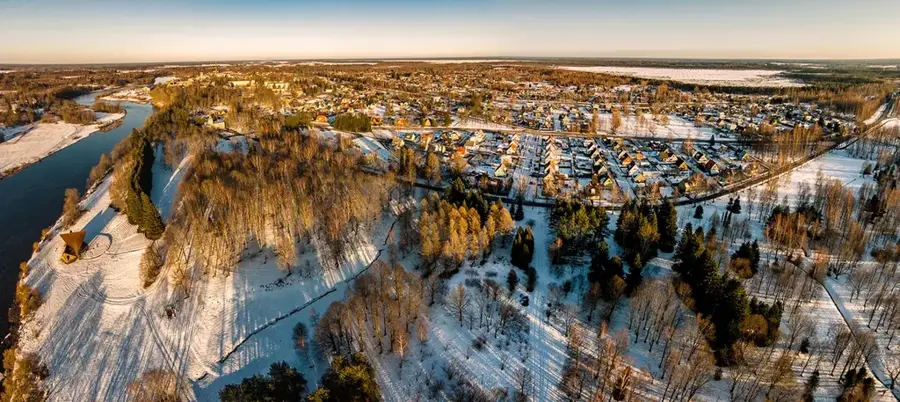
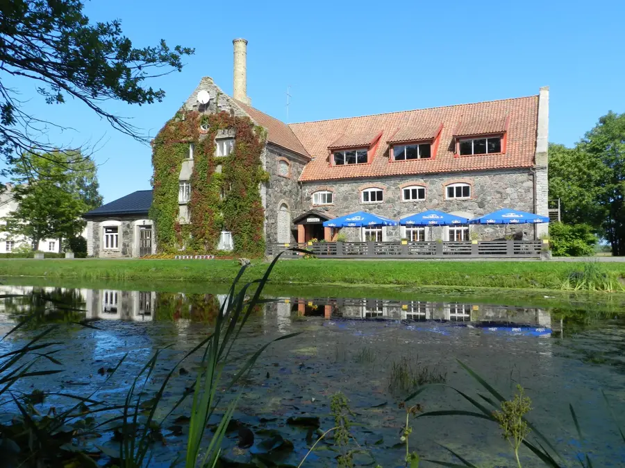
Veski-Mägi, whose name translates to 'Mill Hill,' is a culturally and historically significant rise in Võru County, closely linked to the region's agricultural past. Standing 103 meters above sea level, the hill is a moderate elevation that, due to its exposed position, was used in the 19th century as a convenient site for windmills. Today, the ruins of a prominent windmill built in 1850 still stand on the summit, serving as a popular photo subject for tourists and hikers despite its dilapidated state. Geologically, Veski-Mägi consists of glacial till, making the surrounding soil fertile and leading to about 70 percent of the hill's area being used for agriculture. From the summit, one can enjoy a wide panoramic view of the typical southern Estonian cultural landscape with its characteristic fields and forest islands. The sandy loam soil retains moisture well, favoring the cultivation of grains even at this height. Accessibility is excellent due to its proximity to a public road (approx. 300 meters), making the hill an easily reachable excursion destination. During the summer months, Veski-Mägi often serves as a venue for local harvest festivals and community gatherings.
- Location: Estonia
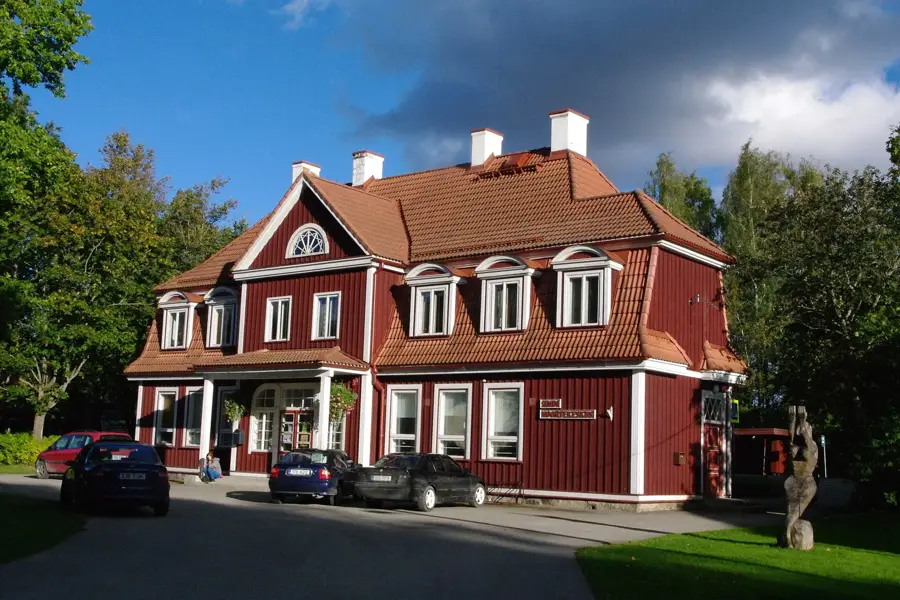
- Nearby: Paikuse (13 km)
Best time to visit & climate
The most pleasant time to visit is Jun–Aug.
| Jan | Feb | Mar | Apr | May | Jun | Jul | Aug | Sep | Oct | Nov | Dec | |
|---|---|---|---|---|---|---|---|---|---|---|---|---|
| Avg °C | -5 | -6 | -2 | 4 | 11 | 15 | 19 | 17 | 13 | 6 | 1 | -3 |
| Rain mm | 54 | 45 | 42 | 44 | 47 | 76 | 69 | 82 | 57 | 69 | 70 | 61 |
📋 Practical info
Geography
Facts
- Elevation: 103 m
- Mill construction: year 1850
- Mill condition: ruin
- Agricultural land: 70% of area
- Soil type: sandy loam
- Distance to road: 0.3 km
Explore nearby
Notable places around
Route planner — Car & Motorhome
Where do you start? We build the route here, with stops and country notes along the way.
© OpenStreetMap contributors · OpenRouteService
Sights nearby
Frequently asked questions
Was there a mill on Veski-Mägi in the past?
Can the remains of the mill still be seen?
Is the hill windy?
Are there hiking trails nearby?
Is the hill accessible in summer?
Veski-Mägi: where is it located?
Veski-Mägi: when is the best time to visit?
Veski-Mägi: why is it worth visiting?

Nearby cities
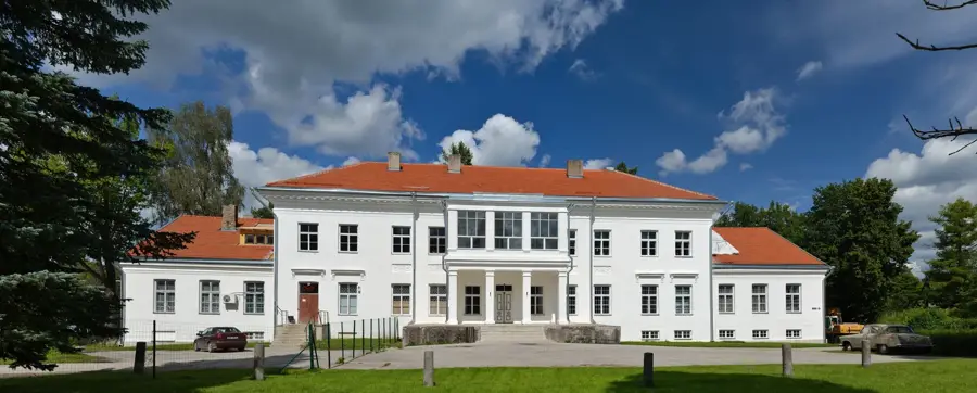
History & landmarks
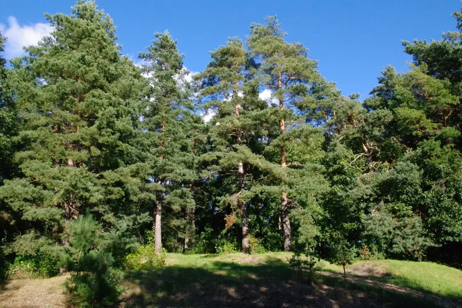
Nature
More places